The best road cycling routes around Wylye
4.4
(21)
808
riders
77
rides
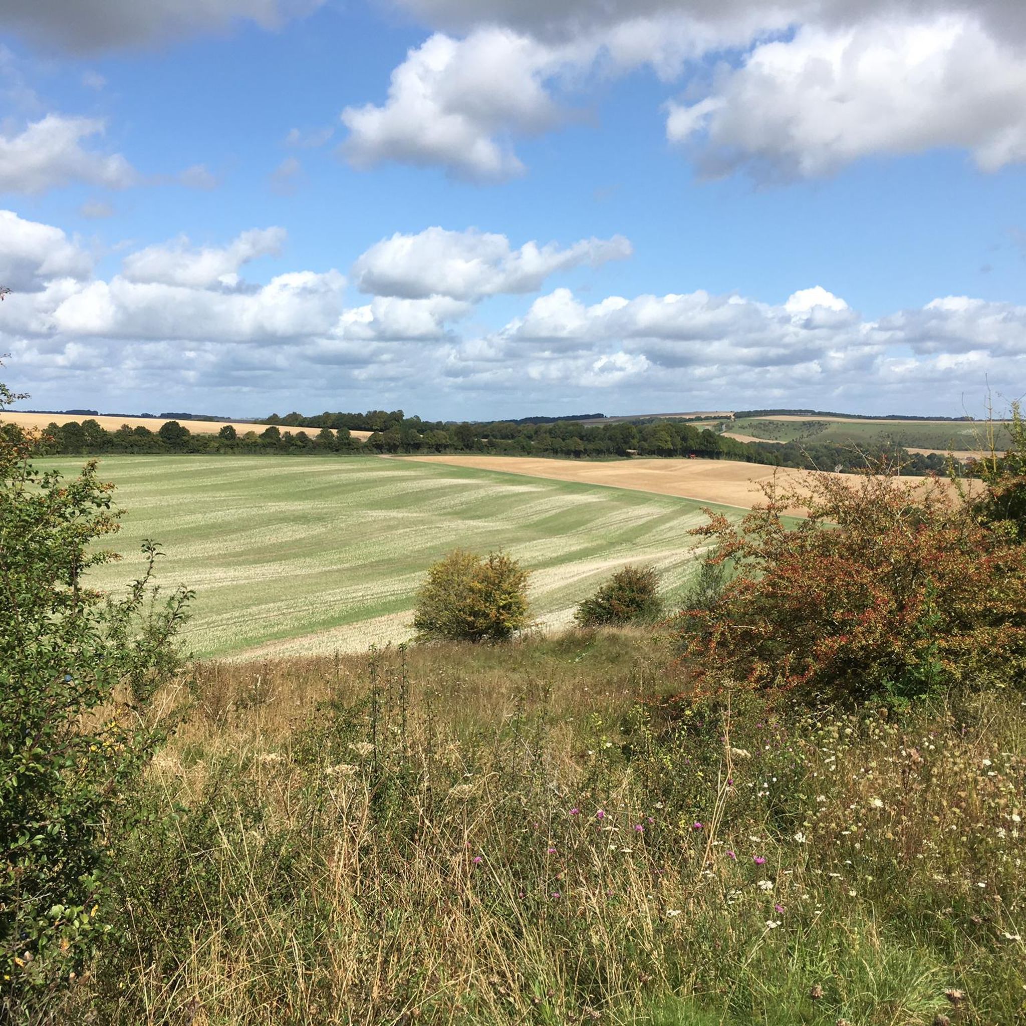
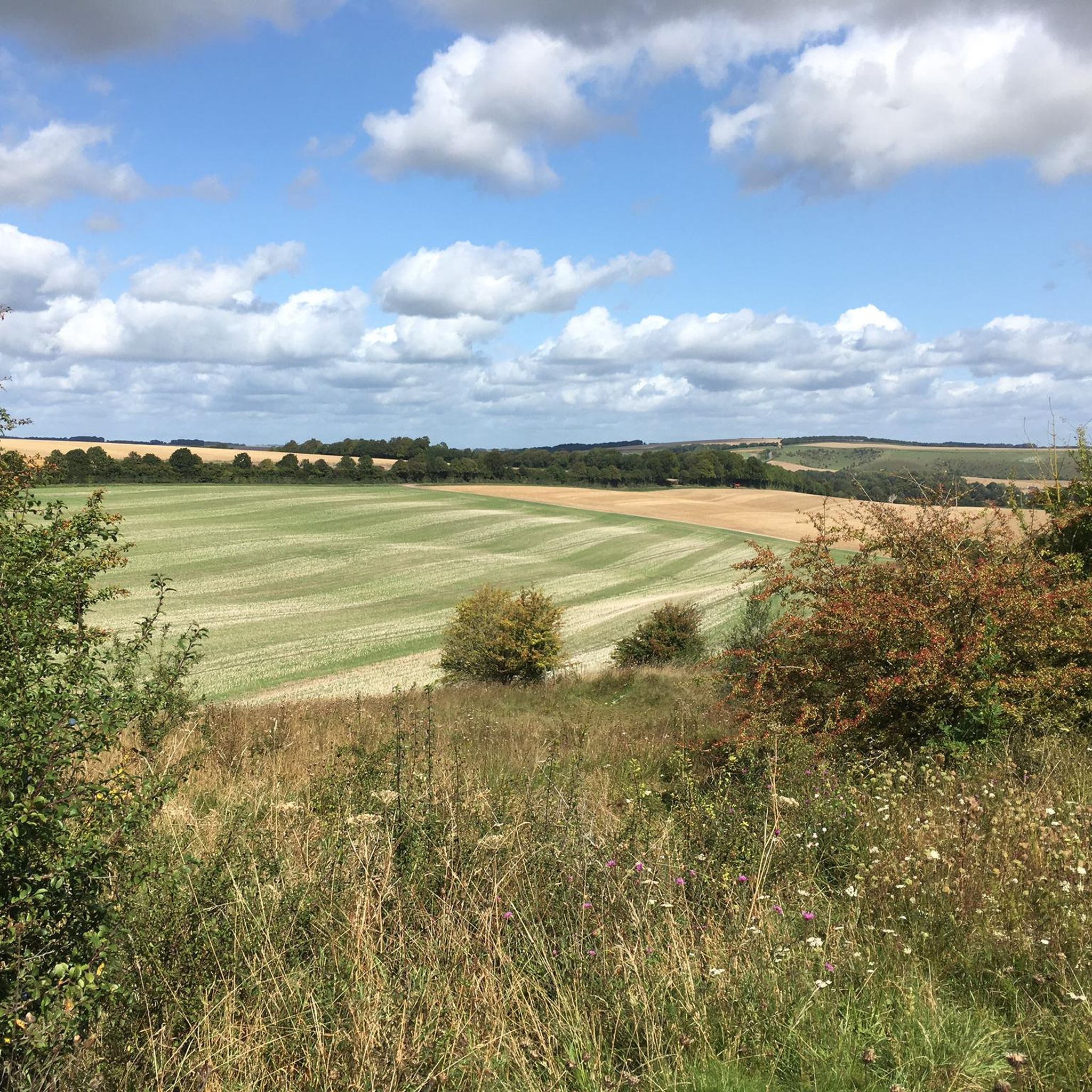
Road cycling around Wylye offers diverse terrain across the Wylye Valley in Wiltshire. The region features expansive chalk downland with rolling hills, providing varied elevation for cyclists. Numerous woodlands, including Grovely Wood, add diverse scenery to routes, while the River Wylye, a chalk stream, meanders through the valley, often alongside quiet lanes. This topography creates a compelling backdrop for road cycling.
Best road cycling routes around Wylye
- The most popular road cycling route is Shearwater Lake – Wylye Valley Quiet…
Last updated: July 12, 2026
4.5
(2)
30
riders
43.3km
01:51
290m
290m
Easy road ride. Great for any fitness level. Mostly well-paved surfaces and easy to ride.
5.0
(1)
22
riders
Moderate road ride. Good fitness required. Mostly well-paved surfaces and easy to ride.

Sign up for free
19
riders
23.7km
01:13
290m
290m
Easy road ride. Great for any fitness level. Mostly well-paved surfaces and easy to ride.
5.0
(1)
16
riders
48.3km
02:05
410m
410m
Moderate road ride. Good fitness required. Mostly well-paved surfaces and easy to ride.
5.0
(1)
23
riders
25.9km
01:02
140m
140m
Easy road ride. Great for any fitness level. Mostly well-paved surfaces and easy to ride.
Get access to more routes and recommendations from other explorers.
Sign up for free
Already have an account?
Our route recommendations are based on thousands of hikes, rides, and runs completed by other people on komoot.
Start today with a free account
Your next adventure awaits.
Login or Signup


Tips from the Community

The Poultry Cross, often referred to as Salisbury Market Cross, is a medieval 14th-century market cross in the heart of Salisbury. It was originally part of the town's market facilities and marked the area of the poultry market. It is the only one of the city's four historic market crosses to have survived to this day.
1
0

Pro Tip: Salisbury Navigation — Start Smart, Finish Smarter Salisbury is a natural waypoint on the King Alfred’s Way — a scenic and historic city, but also a maze for a tired bikepacker. Here’s how to avoid the common pitfalls: 🧭 Navigation Hazards: The city layout can be disorienting after a long day in the saddle, especially with phone fatigue, low battery, or GPS signal issues. Preload your route offline and drop a pin at your parking location or train station before rolling out. 📱 Backup Nav: Bring a secondary form of navigation — a small power bank, a basic GPS unit, or even a paper map. If you’re relying on your phone, make sure screen timeouts and lockouts won’t leave you stranded (ask me how I know…). 📦 Start/End Point Logistics: If parking in Salisbury, choose a well-marked car park close to a landmark or note the street name. Trusting “Find My Parked Car” or memory alone can lead to a post-ride goose chase. A hidden hero? An AirTag stashed in your car. 🚴♂️ Ride Timing: Salisbury is a great place to begin or end a leg — just be aware of city traffic and tourist footfall, especially near the cathedral. Early starts and twilight returns can ease your flow through town.
1
0


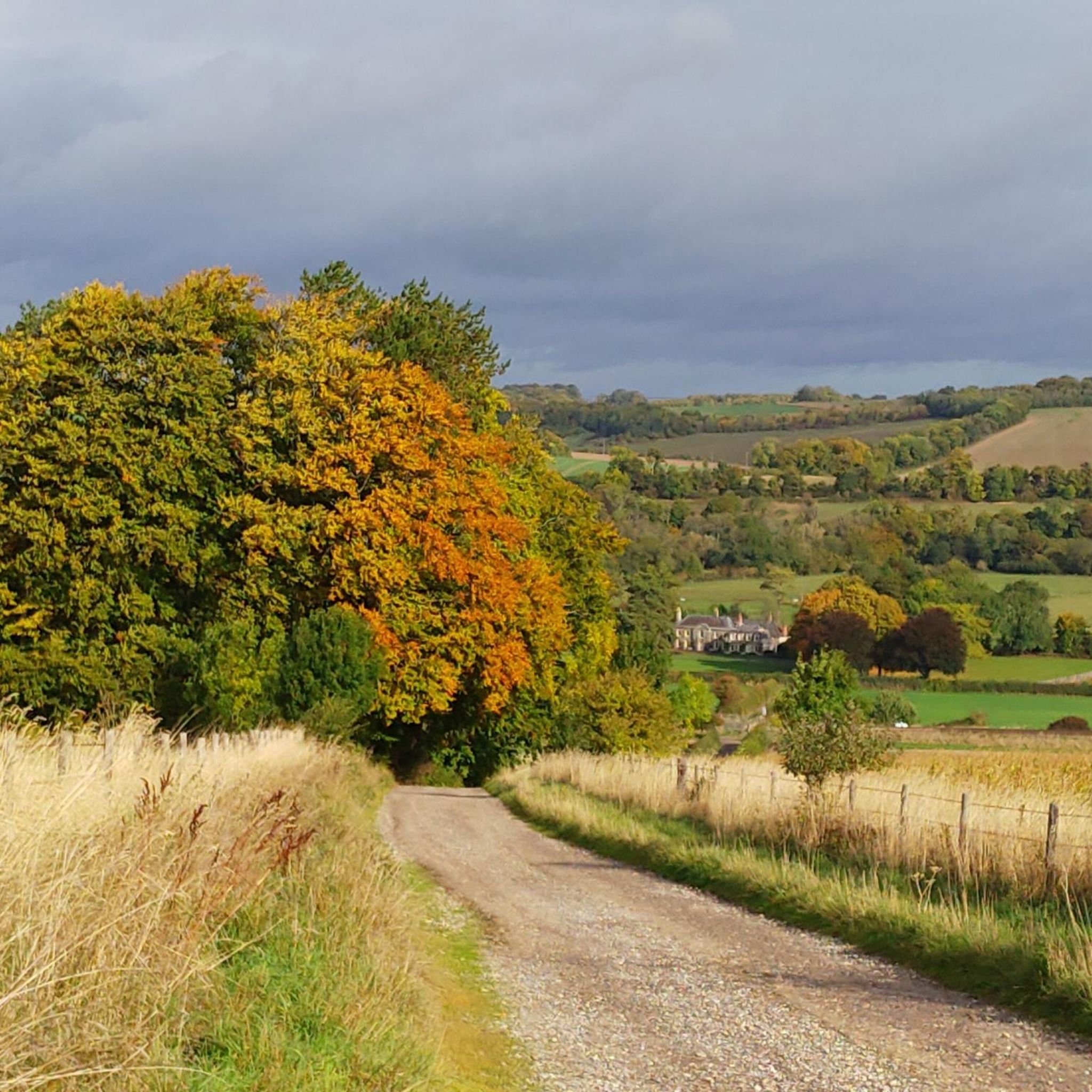
The Woodford has a number of enjoyable winding country roads that are relatively quiet and well-surfaced and offer beautiful views of the surrounding countryside.
1
0


"The story of this great Cathedral is a tale of defiance and ingenuity that begins back in 1218, when the Bishop of Salisbury abandoned the original cathedral at Old Sarum, and moved down to the banks of the Avon, where the Cathedral stands today. You can learn the reasons for this move and about the people who made it happen by following the new family-friendly trail inside the Cathedral." (Text from https://www.visitwiltshire.co.uk/salisbury/things-to-do/salisbury-cathedral-and-magna-carta-p130493 )
6
0


Great Wishford sits in a meander of the River Wylye, beneath the chalk ridge adorned by the beautiful Grovely Wood. From the village, Grovely Road leads up to the woodland trails and is a good option for those looking to tackle some hill reps. According to an ancient custom, the residents of the village are permitted to gather firewood annually from Grovely Wood on Oak Apple Day, which is the 29th of May. The village pub, the Royal Oak, is a good shout for post run refreshment.
0
0
Frequently Asked Questions
How many road cycling routes are available around Wylye?
There are over 80 road cycling routes available around Wylye, catering to various fitness levels. These routes explore the picturesque Wylye Valley and its surrounding chalk downland.
What kind of terrain can I expect when road cycling in the Wylye Valley?
The Wylye Valley is characterized by stunning chalk downland, offering expansive, rolling hills that provide both scenic vistas and varied elevation. You'll also find verdant woodlands, such as Grovely Wood, and quiet lanes meandering alongside the River Wylye, a globally rare chalk stream.
Are there road cycling routes suitable for beginners in Wylye?
Yes, Wylye offers a good selection of routes suitable for beginners. There are 28 easy routes available, such as the Cranborne Chase Village – Fonthill Bishop Arch loop from Dinton, which is 14.7 miles long and takes about 1 hour 12 minutes to complete.
What are the more challenging road cycling options in the Wylye area?
For those seeking a greater challenge, there are 4 difficult road cycling routes around Wylye. These routes typically feature more significant elevation gains and longer distances, providing a demanding experience for very good fitness levels.
What do other cyclists enjoy most about road cycling in Wylye?
The road cycling routes in Wylye are highly rated by the komoot community, with an average score of 4.3 stars from over 10 reviews. Cyclists frequently praise the routes as 'super road bike route, very quiet and picturesque,' often highlighting the peaceful lanes and beautiful scenery.
Are there any notable landmarks or natural features to see along the road cycling routes in Wylye?
Yes, many routes offer views of significant natural and historical features. You might pass by the ancient Cursus Barrows, explore the edges of Grovely Wood Forest Trail, or enjoy the tranquility of the River Wylye. Some routes also offer glimpses of the Sarsen Stone at Stonehenge Visitor Centre.
Can I find routes that pass through charming villages or offer scenic views?
Absolutely. The Wylye Valley is dotted with charming villages, and many road cycling routes are designed to pass through them, offering a glimpse into local life. Routes often provide expansive views across the chalk downland and along the meandering River Wylye, ensuring a picturesque ride.
Are there circular road cycling routes available in Wylye?
Yes, many of the road cycling routes around Wylye are circular loops, making them convenient for starting and ending in the same location. An example is the Forest Road in Cranborne Chase – Wylye Valley Quiet Road loop from Wylye, a moderate 30-mile ride.
Where can I find places to eat or drink along the road cycling routes?
Several routes incorporate stops at local pubs and cafes. For instance, the The Royal Oak, Great Wishford – Coffee Darling Café loop from Wylye is specifically designed to include refreshment stops. Many villages along the routes also offer options for a break.
What is the best time of year for road cycling in the Wylye Valley?
Spring and summer are particularly appealing for road cycling in the Wylye Valley. During these seasons, the Wylye Down National Nature Reserve is impressive with its rich diversity of wildflowers, including rare orchid species, adding to the scenic beauty of the rides.
Are there any specific cycle routes or networks in the Wylye area?
The village of Wylye itself is situated along Cycle Route 24, which is part of a wider network of quiet roads and cycleways in the Wylye Valley. This network makes it an excellent location for road cycling away from heavy traffic.
How can I access the road cycling trails around Wylye?
Wylye's location halfway between Warminster and Salisbury, with easy access to major roads, makes it a convenient base. Many routes start directly from Wylye village or nearby towns like Codford, Steeple Langford, and Dinton, offering various trailhead access points.
Most popular attractions around Wylye

Get inspired with the komoot mobile app


Explore more
Browse the best Road cycling routes in other regions.
