The best walks and hikes around Étang de Santa Giulia
4.2
(576)
4,462
hikers
108
hikes
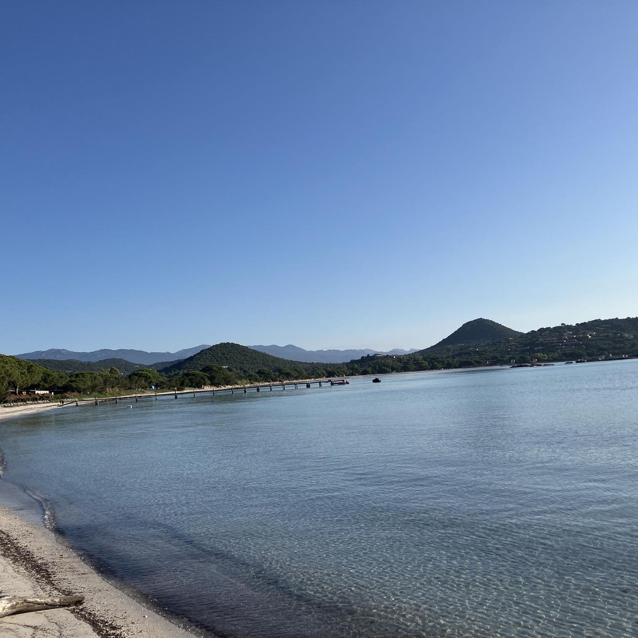
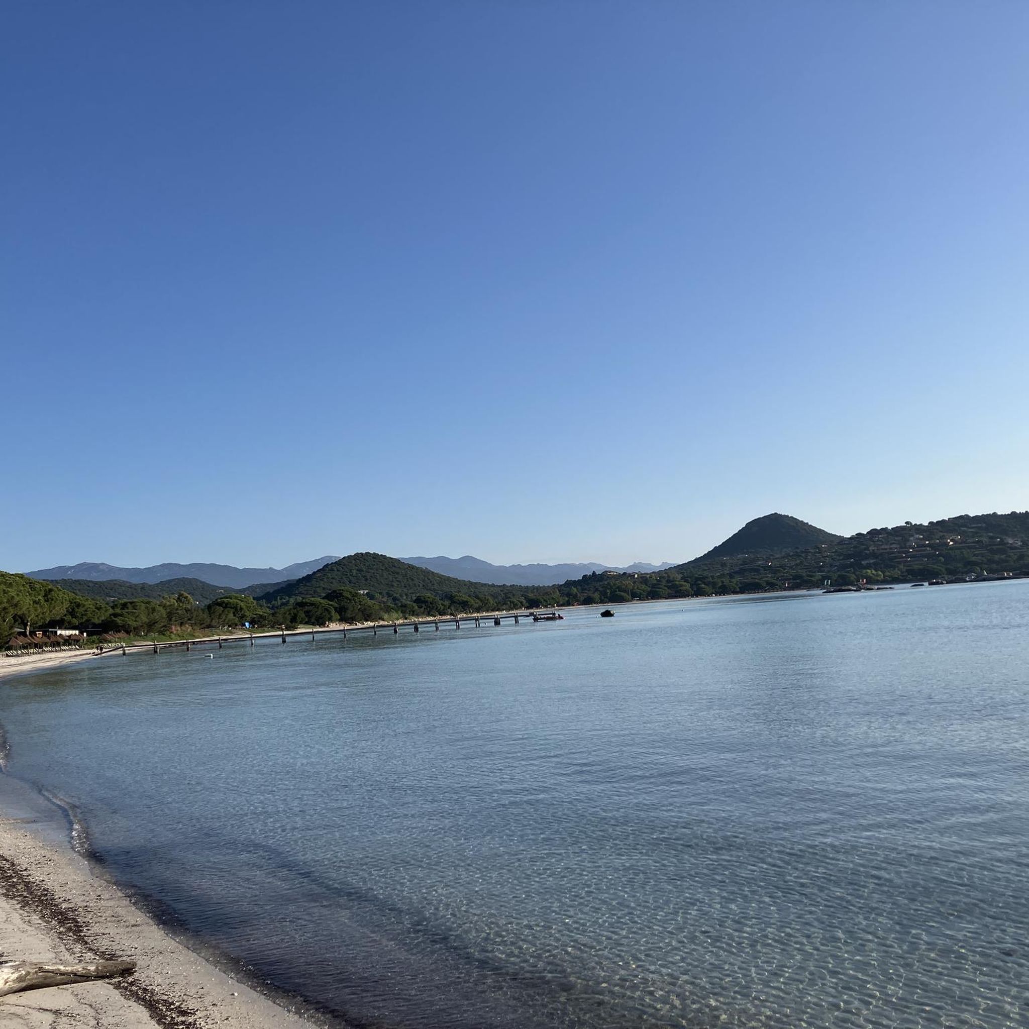
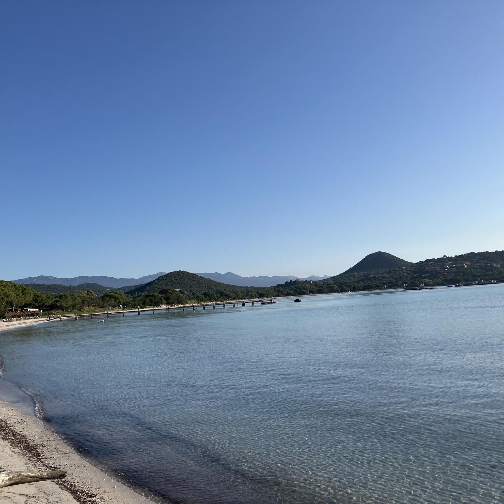
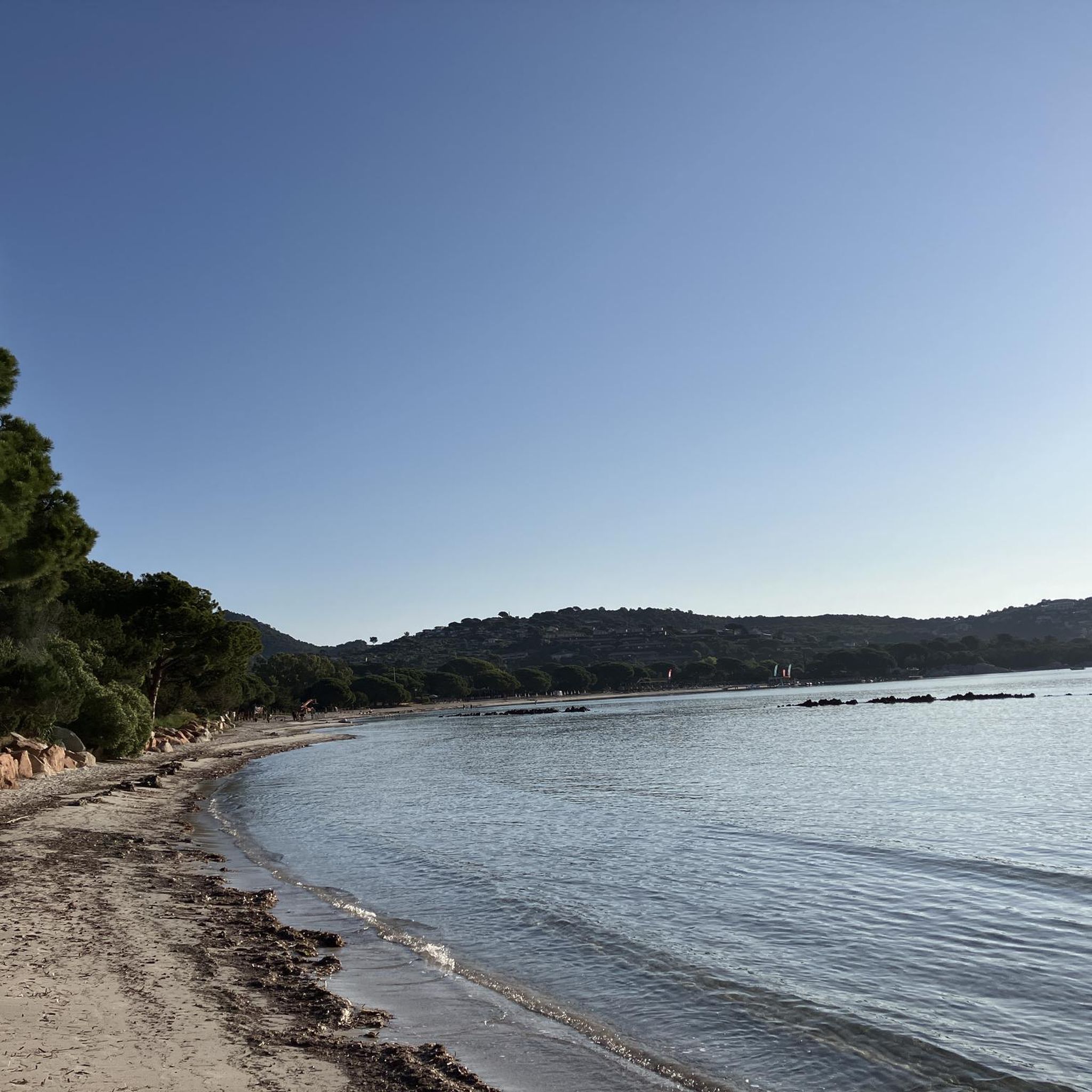
Hiking around Étang de Santa Giulia offers diverse landscapes, from coastal lagoons to maquis-covered hills and pine forests. The area is recognized for its ecological significance, featuring rich biodiversity and views over the bay and nearby islands. Granite cliffs and white sand beaches characterize the coastline, providing varied terrain for outdoor activities. This region provides a blend of easy lakeside strolls and more challenging ascents.
Best hiking trails around Étang de Santa Giulia
- The most popular hiking route is Escalade Santa Ghiulia – View over the bay loop from Étang de Santa Giulia, a 3.9 miles (6.2 km) moderate trail that takes 2 hours 9 minutes to complete. This route offers viewpoints over the bay of Santa Giulia.
- Another top favourite among local hikers is View over the bay – Escalade Santa Ghiulia loop from Étang de Santa Giulia, a difficult 2.5 miles (4.0 km) path. This trail provides panoramic views of the surrounding coastal and hill landscapes.
- Local hikers also love the Santa Giulia Beach loop from Étang de Santa Giulia, a 3.6 miles (5.9 km) trail leading through coastal areas and near the famous beach, often completed in about 1 hour 35 minutes.
- Hiking around Étang de Santa Giulia is defined by coastal paths, maquis-covered hills, and pine forests, with views over the lagoon and sea. The network offers options for different ability levels, from gentle walks to more strenuous climbs.
- The routes in Étang de Santa Giulia are highly rated by the komoot community with an average score of 4.0 stars from over 500 reviews. More than 4000 hikers have used komoot to explore Étang de Santa Giulia's varied terrain.
Last updated: July 9, 2026
4.6
(113)
505
hikers
Moderate hike. Good fitness required. Mostly accessible paths. Sure-footedness required.
4.8
(13)
50
hikers
Hard hike. Great for any fitness level. Sure-footedness, sturdy shoes and alpine experience required.

Sign up for free
3.0
(1)
7
hikers
5.91km
01:36
80m
80m
Easy hike. Great for any fitness level. Easily-accessible paths. Suitable for all skill levels.
4.1
(10)
76
hikers
Moderate hike. Great for any fitness level. Mostly accessible paths. Sure-footedness required.
8
hikers
3.06km
00:48
20m
20m
Easy hike. Great for any fitness level. Easily-accessible paths. Suitable for all skill levels.
Get access to more routes and recommendations from other explorers.
Sign up for free
Already have an account?
Our route recommendations are based on thousands of hikes, rides, and runs completed by other people on komoot.
Start today with a free account
Your next adventure awaits.
Login or Signup

Tips from the Community

super mega pretty round
2
0
super mega pretty round
2
0
super mega pretty round
2
0
pretty here, very pretty
2
0

Beautiful view. Great scenery.
0
0
Frequently Asked Questions
How many hiking trails are available around Étang de Santa Giulia?
There are over 100 hiking routes around Étang de Santa Giulia, offering a wide range of experiences. This includes 84 easy trails, 20 moderate routes, and 4 more challenging paths, ensuring options for all fitness levels.
What kind of terrain can I expect on hikes near Étang de Santa Giulia?
The terrain around Étang de Santa Giulia is diverse, blending coastal paths with maquis-covered hills and pine forests. You'll find white sand beaches, granite cliffs, and trails around the coastal lagoon itself. Some routes offer significant elevation gain, while others are gentle lakeside strolls.
Are there any easy, family-friendly hikes around Étang de Santa Giulia?
Yes, the area is well-suited for families with many easy trails. Paths around the Étang de Santa Giulia lagoon are generally flat and accessible, perfect for short walks up to two hours. An example is the Santa Giulia Beach loop from Étang de Santa Giulia, an easy 5.9 km trail that takes about 1 hour 35 minutes.
What are the best viewpoints or landmarks to see while hiking in the region?
Hikers can enjoy magnificent views over the bay of Santa Giulia, Porto Vecchio, and even the Cerbicales Islands, which are a nature reserve. The Escalade Santa Ghiulia – View over the bay loop is specifically known for its viewpoints. The Santa Giulia Beach itself is a stunning landmark, often described as one of the world's most beautiful beaches.
Are there any circular walks available around Étang de Santa Giulia?
Yes, many routes in the area are circular, allowing you to start and end at the same point. For instance, the Santa Giulia Beach loop from Étang de Santa Giulia is an easy circular trail that explores the coastal areas.
What is the best time of year to go hiking in Étang de Santa Giulia?
While the region is beautiful year-round, spring and autumn generally offer the most pleasant hiking conditions with milder temperatures and fewer crowds. The rich biodiversity, including migratory birds, can be particularly vibrant during these seasons.
What do other hikers enjoy most about hiking in Étang de Santa Giulia?
The area is highly rated by the komoot community, with an average score of 4.0 stars from over 500 reviews. Hikers frequently praise the diverse landscapes, from the stunning coastal views and white sand beaches to the tranquil maquis-covered hills and pine forests. The variety of trails catering to different abilities is also a highlight.
Are there more challenging hiking options near Étang de Santa Giulia?
Yes, for those seeking more challenging excursions, the region offers moderate to difficult hikes with significant elevation gain. The View over the bay – Escalade Santa Ghiulia loop is a difficult 4.0 km path providing panoramic views. Furthermore, Étang de Santa Giulia serves as a gateway to more extensive mountain hiking in areas like the Bavella Needles and Ospedale Forest.
Can I observe wildlife while hiking around the lagoon?
Absolutely. The Étang de Santa Giulia is recognized as a "Zone naturelle d'intérêt écologique, faunistique et floristique (ZNIEFF)" due to its rich biodiversity. It's an ideal spot for observing Corsican fauna, especially migratory birds and endemic plant species, making short walks around the lake particularly rewarding for nature enthusiasts.
Are there any longer moderate hikes in the area?
Yes, for a moderate hike with beautiful views, consider the Santa Giulia Beach loop from Résidence la Pinède. This route covers 7.7 km and typically takes around 2 hours 10 minutes to complete, offering a good balance of distance and scenic beauty.
What are some notable natural features to look out for?
Beyond the lagoon itself, the area is framed by verdant, maquis-covered hills and impressive granite cliffs. Pine forests provide shade along many trails, contributing to the wild and exotic feel of the landscape. The contrast between the turquoise waters of Santa Giulia Beach and the surrounding rugged terrain is particularly striking.
Most popular routes around Étang de Santa Giulia

Get inspired with the komoot mobile app


Explore more
Browse the best Hikes in other regions.
