The best walks and hikes around Lake della Rossa
4.6
(1137)
6,149
hikers
130
hikes
Hiking trails around Lake della Rossa offer diverse routes through alpine landscapes in the Graian Alps. The region features wide vistas, pristine glacial lakes, and rugged terrain. A notable man-made feature is the dam, which expanded the lake in the 1930s and is a significant point of interest. The area provides a variety of trails suitable for different skill levels, from accessible paths to challenging alpine treks.
Best hiking trails around Lake della Rossa
- The most popular hiking route is…
Last updated: July 7, 2026
6
hikers
8.13km
03:45
620m
620m
Hike the Historic railway trail to Rifugio Cibrario (Trail 122A), a moderate 5.1-mile route with 2033 feet of gain in the Italian Alps.
7
hikers
Moderate hike. Good fitness required. Mostly accessible paths. Sure-footedness required.

Sign up for free
7
hikers
5.95km
02:43
410m
410m
Moderate hike. Good fitness required. Mostly accessible paths. Sure-footedness required.
8.88km
04:15
670m
670m
Alpine border crossing through remote Lanzo Valleys with old cableway ruins and fixed-rope sections.
4.3
(3)
12
hikers
Moderate hike. Good fitness required. Mostly accessible paths. Sure-footedness required.
Get access to more routes and recommendations from other explorers.
Sign up for free
Already have an account?
Our route recommendations are based on thousands of hikes, rides, and runs completed by other people on komoot.
Start today with a free account
Your next adventure awaits.
Login or Signup


Tips from the Community

A beautiful pillar with a fresco, which we can also use as a makeshift shelter in case of unexpected rain. It's called the San Camillo pillar and is located near the bivouac of the same name.
0
0
A lake with a massive dam used for electricity generation. It can be reached from several points, the most convenient being via Dietro la Torre lake, starting from Pian Sulè (3 hours by road + 30 minutes on a trail).
0
0
Just a few metres away from Lake Rossa, it is an excellent base for those taking on longer tours.
0
0
A beautiful refuge in the Lanzo Valleys, which can be reached from Margone in 3 and a half hours, and can be a base for longer tours such as the Bessanese tour.
0
0

Be careful with snow and ice. The trail is doable even with a little snow, depending on its conditions. If there is too much snow it might be better to go through the steep canal that is behind the San Camillo bivouac (instead of taking the steep path on the left, continue straight and take a left at the fork after.
0
0
Steepest part for the Rossa lake. Be careful with snow and ice. After this steep part, continue to climb on a steep slope, crossing to the right. Before the Rossa lake, pay attention to the final part of the trail.
0
0
Amazing bivouac, about 16 beds, with mattresses, pillows and blankets, electricity thanks to the nearby Enel power plant, two electric stoves, two tables with benches. Bivouac located in front of the Lago della Rossa, EPIC! Near the bivouac there should be a spring, when we went it was covered in snow and unfortunately you couldn't see it.
0
0

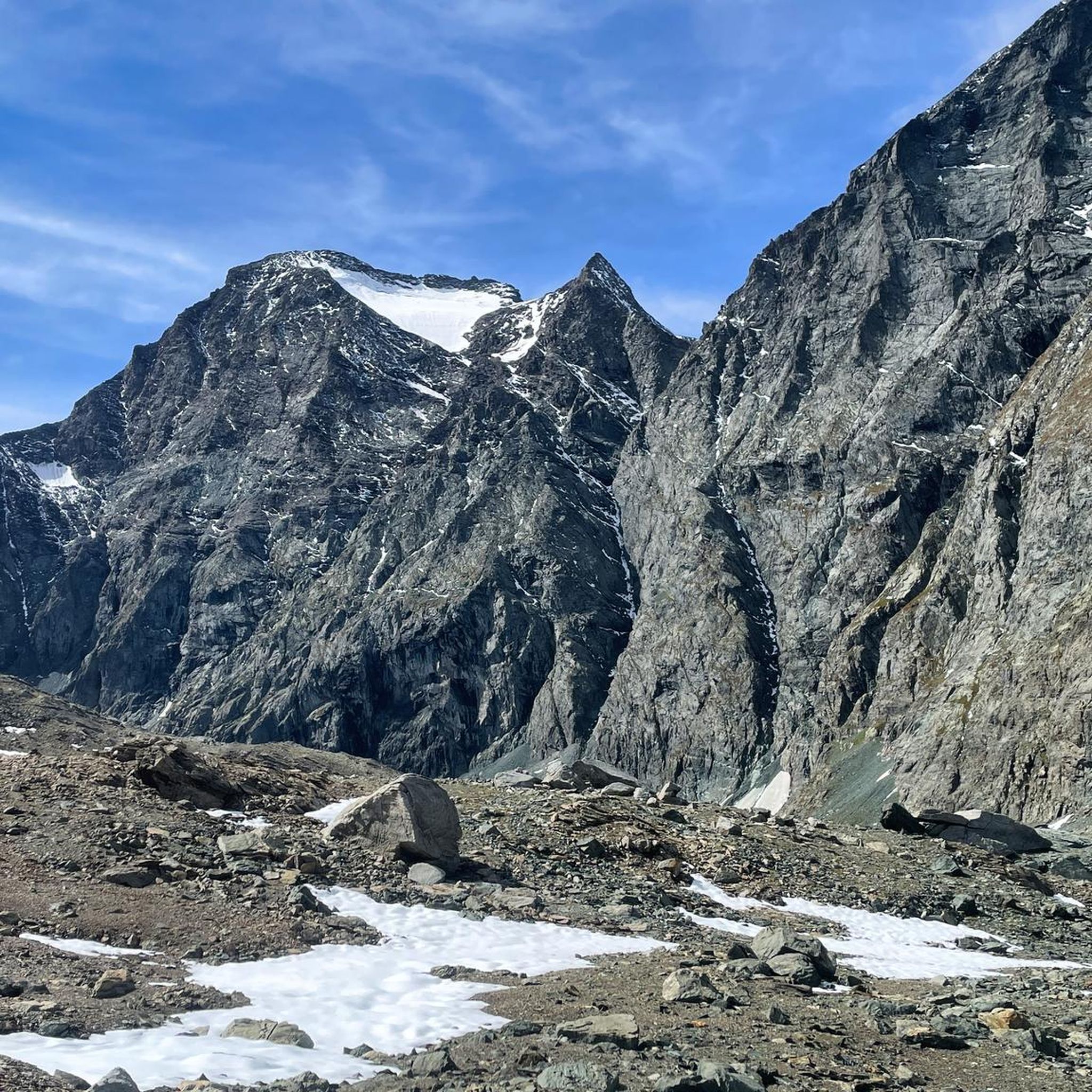
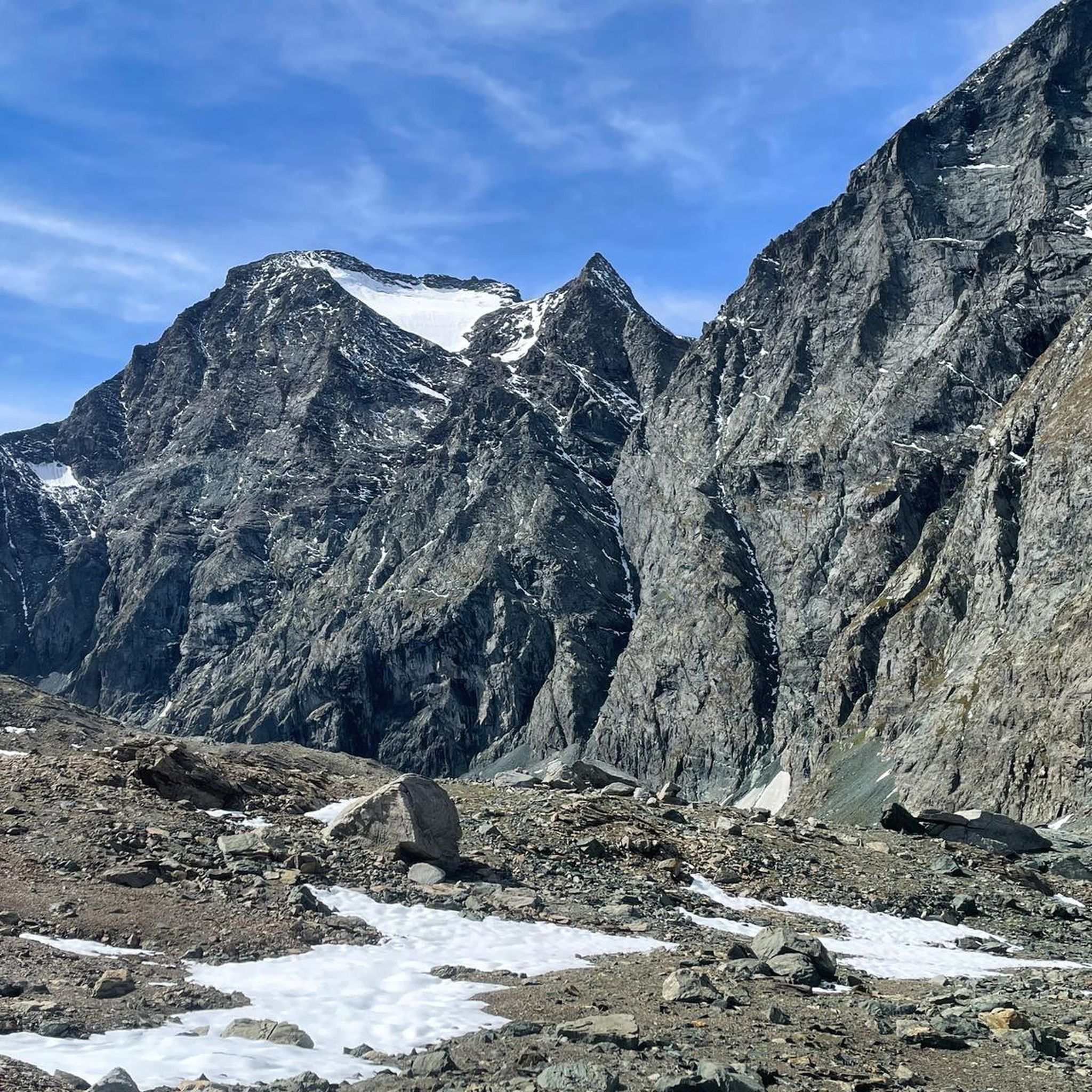
Beautiful glacial lakes in the middle of an expanse of rock debris. Last section with fixed rope, it is possible to find a bit of snow even in summer, the section is quite steep so pay attention... once passed, the beautiful Lago del Collarin opens up in front of you
0
0
Frequently Asked Questions
How many hiking trails are there around Lake della Rossa?
There are over 120 hiking trails around Lake della Rossa, offering a wide range of options for different skill levels. You'll find everything from easy paths to challenging alpine treks through the stunning Graian Alps.
What are the different difficulty levels of hikes available?
The trails around Lake della Rossa cater to various fitness levels. You can find approximately 15 easy routes, 60 moderate trails, and over 50 difficult options, ensuring there's a suitable hike for almost everyone.
Are there any easy or family-friendly hiking options?
Yes, there are around 15 easy trails suitable for families or those looking for a more relaxed walk. These paths often require up to 2 hours and around 1,000 ft of elevation gain, making them accessible for most skill levels.
What are some notable points of interest or landmarks to see while hiking?
Beyond the natural beauty of glacial lakes and wide vistas, hikers can explore the significant dam, which expanded the lake in the 1930s. For those on longer routes, the Bivacco San Camillo, a small shelter, and a chapel dedicated to Saint Camillus near the lake offer a welcome stop. The Lake della Rossa – San Camillo Bivouac loop from Diga del Lago dietro la Torre passes by the bivouac.
Are there any circular hiking routes around Lake della Rossa?
Yes, several circular routes allow you to experience the diverse landscape. A popular moderate option is the Lake della Rossa – San Camillo Bivouac loop from Diga del Lago dietro la Torre, which is about 3.1 miles (5.0 km) long. Another is the Rifugio Cibrario loop from Diga del Lago dietro la Torre, covering 3.7 miles (6.0 km).
What is the best time of year to go hiking around Lake della Rossa?
The best time to experience the landscapes around Lake della Rossa is generally during the warmer months, from late spring to early autumn. During this period, trails are most accessible, and you can fully enjoy the pristine beauty of the glacial lakes and alpine vistas.
How can I get to the trailheads using public transport?
Common starting points for trails include Usseglio or Pian della Mussa. While specific bus routes to these exact trailheads are not detailed, public transport options to the broader Lanzo Valleys area, such as bus routes from Ceres to Usseglio, can get you closer to the region. It's advisable to check local timetables for the most current information.
Where can I park my car when visiting Lake della Rossa?
Parking is typically available at common trailheads such as Usseglio, Pian della Mussa, and Pian Sulè. These locations serve as convenient starting points for day trips into the Lake della Rossa area.
Are there any shelters or places to rest along the longer trails?
Yes, for those undertaking longer hikes, the Bivacco San Camillo, a small shelter near the lake, offers a welcome respite. Additionally, the Rifugio Cibrario is another point of interest that can serve as a stop on routes like the Rifugio Cibrario to Lago della Rossa Trail (122A).
What kind of terrain can I expect on the hikes around Lake della Rossa?
You can expect diverse terrain ranging from easily accessible paths to rugged alpine landscapes. The region is characterized by wide vistas, pristine glacial lakes, and challenging ascents, offering a variety of experiences for hikers.
What do other hikers say about the trails around Lake della Rossa?
The trails around Lake della Rossa are highly rated by the komoot community, with an average score of 4.6 stars from over 1,000 reviews. Hikers often praise the stunning alpine views, the serene atmosphere, and the rewarding experience of reaching the lake.
Are there any challenging routes for experienced hikers?
Absolutely. The area offers routes that demand good fitness and sure-footedness, some taking over 5 hours or involving more than 3,000 ft of elevation gain. An example of a more difficult trail is the From Refuge Gastaldi to Passo Collerin (via Route 224), which is a difficult 8.8 km hike.
Most popular routes around Lake della Rossa

Get inspired with the komoot mobile app


Explore more
Browse the best Hikes in other regions.
