The best cycling routes around Sturminster Marshall
4.6
(608)
10,821
riders
364
rides
Touring cycling routes around Sturminster Marshall traverse a landscape characterized by open fields, wooded areas, and the meandering River Stour. The region features gentle waterways and quiet country lanes, providing varied terrain for cyclists. Notable natural features include Holt Heath, a significant heathland area, and the well-maintained North Dorset Trailway, offering extensive traffic-free cycling opportunities. This blend of natural beauty and dedicated infrastructure makes the area suitable for diverse touring cycling experiences.
Best touring cycling routes around Sturminster Marshall
- The…
Last updated: July 1, 2026
24
riders
36.0km
02:08
230m
230m
Moderate bike ride. Good fitness required. Mostly paved surfaces. Suitable for all skill levels.
5.0
(2)
19
riders
14.2km
01:00
100m
100m
Easy bike ride. Great for any fitness level. Mostly paved surfaces. Suitable for all skill levels.

Sign up for free
5.0
(1)
13
riders
63.9km
04:19
620m
620m
Hard bike ride. Very good fitness required. Mostly paved surfaces. Suitable for all skill levels.
17
riders
4.67km
00:18
30m
30m
Easy bike ride. Great for any fitness level. Mostly paved surfaces. Suitable for all skill levels.
17
riders
20.4km
01:26
130m
130m
Easy bike ride. Great for any fitness level. Mostly paved surfaces. Suitable for all skill levels.
Get access to more routes and recommendations from other explorers.
Sign up for free
Already have an account?
Our route recommendations are based on thousands of hikes, rides, and runs completed by other people on komoot.
Start today with a free account
Your next adventure awaits.
Login or Signup
Tips from the Community

Historic Significance: It is a Grade I Listed Building (the highest level of protection), noted for its special architectural and historic interest. Age: The first record of the bridge dates back to 1334, suggesting its medieval origins, with parts of the current structure likely dating to the 15th century. Construction: It is built of coursed rubble and ashlar stone and features nine semi-circular arches. Widening: The bridge was widened in 1819. The upstream side is the original, medieval part and features triangular cut-waters which extend up to form pedestrian refuges. The downstream side is the later, plainer widening. Inscriptions: There is a reset stone on the east side of the bridge inscribed with the year 1719. Name Origin: The bridge is named Crawford Bridge because it carries the road from Spetisbury to Tarrant Crawford. The nearby area of Spetisbury was historically one of three manors, including Great Crawford.
0
0

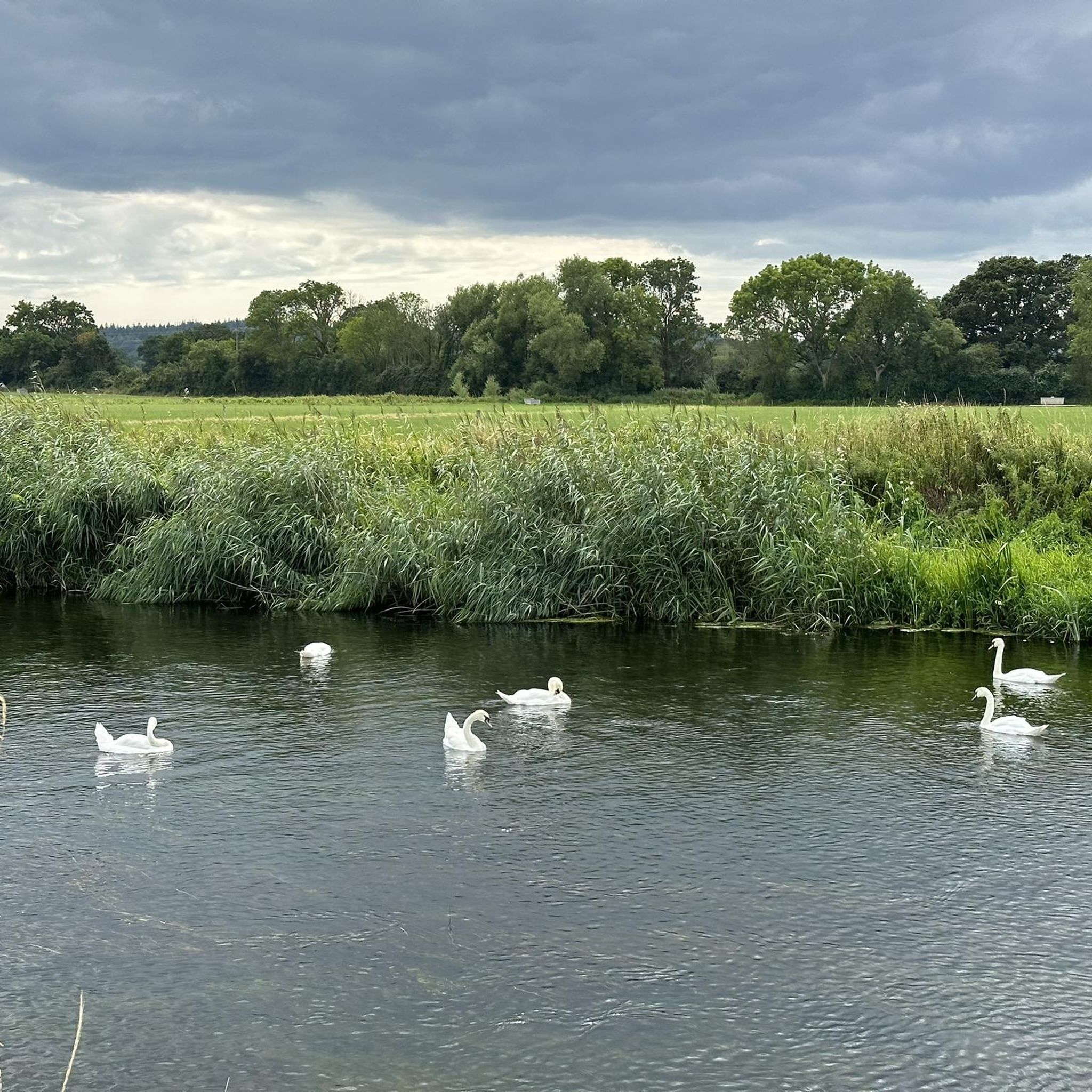
Single lane beware of on coming vehicles
0
0


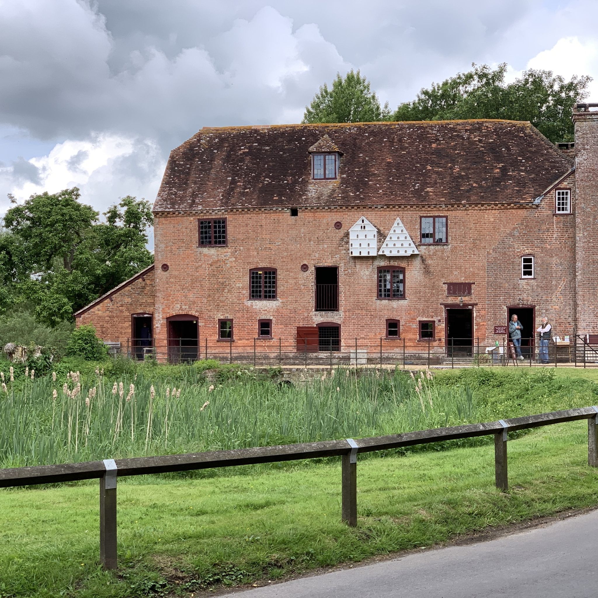
Using the power of moving water to drive a mill wheel is an ancient invention of the human spirit of discovery, the origins of which can be traced back to times long past. Thanks to such a construction, a watercourse - natural or artificial - could simply replace human or animal muscle power with the power of the natural elements, for example to grind grain into corn or to press oil from fruit. There are essentially two different ways of driving watermills: * Either the flowing water simply hits the blades of the water wheel from below to set it in motion; or * the water is guided - usually through a so-called "mill channel" - above the wheel and falls onto the blades; this type of construction is more efficient due to natural gravity.
0
0
Was nice to see the Hod from a distance. On a hike route I'd done Hambledon and Hod on same day, in really bad conditions. worth a go up there
0
0
A very nice route indeed. Nothing too demanding at all. Give it a whirl!!!
1
0
In addition to the main rail bridge spanning the river, smaller bridges were built to allow traffic and pedestrians to cross the cuttings and track as it travelled north-west. Three bridges were built for this purpose and all of them remain integral to the navigation of the town today. Arguably the most distinctive of them is the Alexandra Street pedestrian footbridge, above the site of the dismantled station. Constructed from iron and now partially supported by four narrow legs, the bridge stands at what was once the northern end of the station, where the single-line section to Templecombe began. Blandford station remained open until 7 March 1966, when the entire line from Bath to Bournemouth closed to passengers. Goods traffic continued for a further three years, but the station was finally closed and the track lifted in 1969. Following the closure, the Damory railway bridges, on the southern approach to the station, were eventually demolished in 1978.
1
0
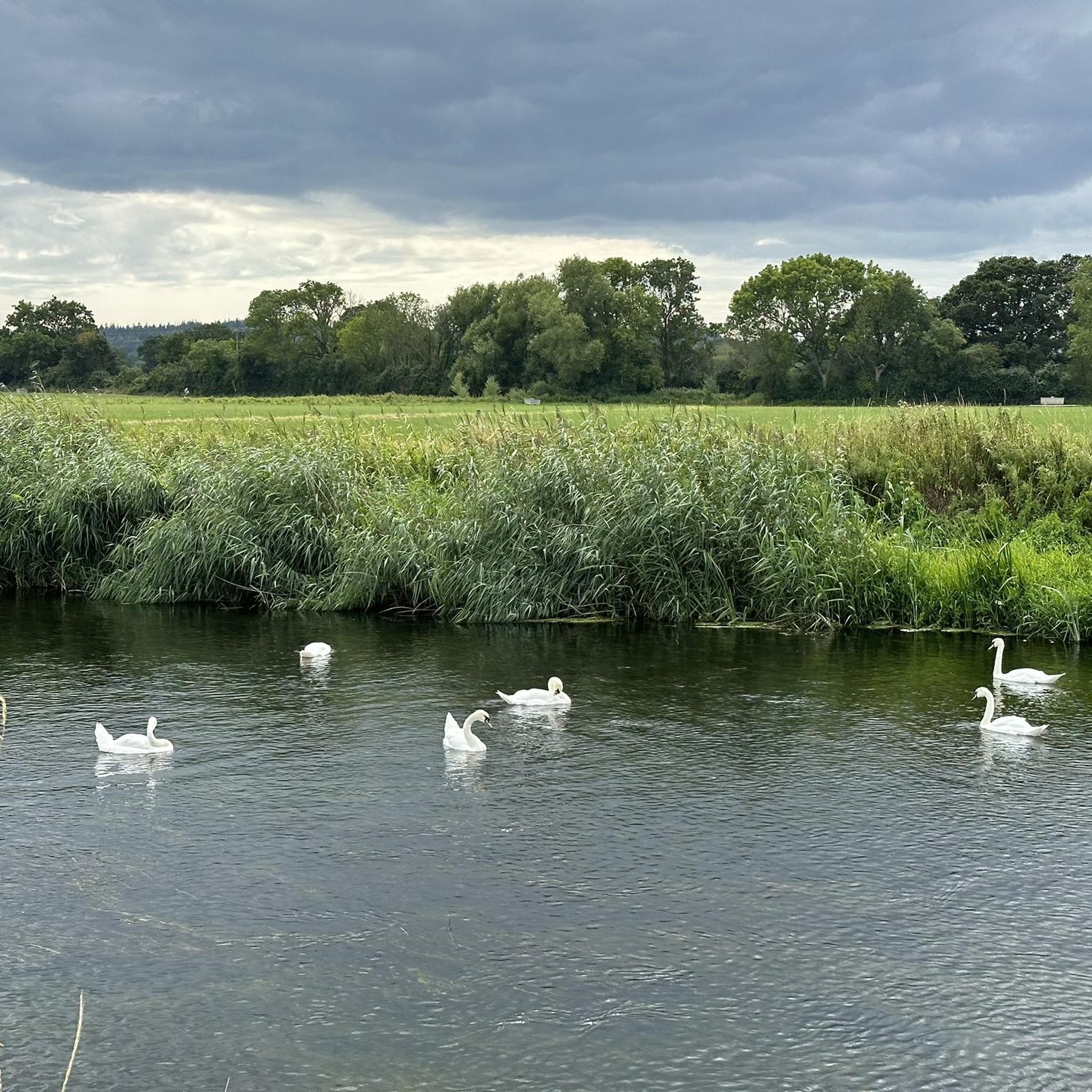
No matter what section you're on here... The views are just so beautiful
0
0
Frequently Asked Questions
How many touring cycling routes are available around Sturminster Marshall?
There are over 370 touring cycling routes in the Sturminster Marshall area, offering a wide range of options for different skill levels. You'll find approximately 140 easy routes, 154 moderate routes, and 76 more challenging options.
What kind of terrain can I expect on touring cycling routes around Sturminster Marshall?
The terrain around Sturminster Marshall is diverse, featuring a charming blend of open fields, wooded areas, and gentle waterways, particularly along the River Stour. You'll encounter quiet country lanes and sections of dedicated paths like the North Dorset Trailway, which is largely flat and surfaced. Routes vary from easy riverside paths to more challenging options with varied elevation, such as the difficult River Stour at Spetisbury – Durweston Mill loop from Spetisbury.
Are there any easy, family-friendly touring cycling routes in the area?
Yes, the area offers many easy routes suitable for families. For instance, the Marcia's Farm Shop and Cafe – Stour Meadows Park loop from Spetisbury is an easy 8.8-mile (14.2 km) path exploring riverside scenery. Another gentle option is the Kingston Lacy Woodland – Kingston Lacy House loop from Pamphill, which is a short 4.7 km (2.9 miles) route through the estate's woodlands.
What natural features and landmarks can I see along the touring cycling routes?
The routes often follow the scenic River Stour, offering views of its meandering course and wildlife. You can also explore areas like Holt Heath, one of Dorset's largest remaining heathland areas, and woodlands such as West Wood. Historical landmarks include the medieval White Mill bridge and the 17th-century Packhorse Bridge. For specific attractions, consider visiting Longham Lakes or enjoying a View of Poole Harbour, both accessible from some routes.
Are there any specific cycling trails like disused railway paths?
Yes, a major draw for touring cyclists is the nearby North Dorset Trailway, a well-maintained, largely flat, and surfaced path tracing the route of the old Somerset and Dorset Railway line. While Sturminster Marshall isn't directly on it, Spetisbury, a key point on the Trailway, is easily accessible. You can also find routes like the Leafy Disused Railway Path – Happy Bottom Nature Reserve loop from Corfe Mullen, which offers a similar experience.
What is the best time of year to go touring cycling in Sturminster Marshall?
The area is pleasant for cycling throughout much of the year. Spring and autumn offer mild temperatures and beautiful scenery, with changing foliage or blooming wildflowers. Summer is also popular, though shaded trails in woodlands like West Wood can be ideal for warmer days. Always check local weather conditions before heading out.
Are there places to stop for refreshments like cafes or pubs along the routes?
Yes, many routes pass through or near villages with amenities. The Marcia's Farm Shop and Cafe – Stour Meadows Park loop from Spetisbury, for example, highlights local amenities. Sturminster Marshall itself has local pubs and cafes, and the broader area offers various options for refreshment stops, especially in villages connected by the North Dorset Trailway or quiet country lanes.
What do other touring cyclists enjoy most about cycling in Sturminster Marshall?
The routes in Sturminster Marshall are highly rated by the komoot community, with an average score of 4.6 stars from over 540 reviews. Cyclists often praise the blend of quiet country lanes, scenic riverside paths along the River Stour, and the accessibility of dedicated trails like sections of the North Dorset Trailway. The variety of routes, from easy to difficult, also contributes to its popularity.
Can I find circular touring cycling routes in the area?
Yes, many touring cycling routes around Sturminster Marshall are designed as loops, allowing you to start and end in the same location. An example is the View of Corfe Castle – Wareham Quay loop from Lytchett Matravers, a moderate 36 km (22.4 miles) trail offering diverse scenery. The broader Dorset area also features a 13-mile circular route starting in Sturminster Newton, passing through picturesque villages.
Are there any specific estates or large parks with cycling facilities?
Yes, the National Trust estate of Kingston Lacy is easily reachable and offers dedicated cycle parking, a bike pump, and its own woodland cycle track. The estate features lavish gardens and extensive parkland, providing a beautiful setting for cycling. You can explore routes like the Walnut Tree Field in Sturminster Marshall, part of an ancient field system with views of the River Stour.
Where can I park my car when cycling in Sturminster Marshall?
While specific parking details for every route vary, Sturminster Marshall and nearby villages offer various public parking options. For routes connecting to the North Dorset Trailway, parking is often available at key access points along the trail. When planning your trip, it's advisable to check parking availability for your chosen starting point.
How can I reach Sturminster Marshall using public transport with my bike?
Public transport options to Sturminster Marshall, particularly with bikes, can be limited. While local bus services connect some villages, carrying bikes on buses may not always be feasible. For longer distances, consider regional train services to nearby towns like Poole or Dorchester, and then cycle the remaining distance on quiet country lanes. Always check the specific operator's bike policy before traveling.
Most popular routes around Sturminster Marshall
Most popular attractions around Sturminster Marshall

Get inspired with the komoot mobile app


Explore more
Browse the best Cycling routes in other regions.
