The best MTB trails around Lac d'Émosson
4.0
(164)
2,431
riders
28
rides
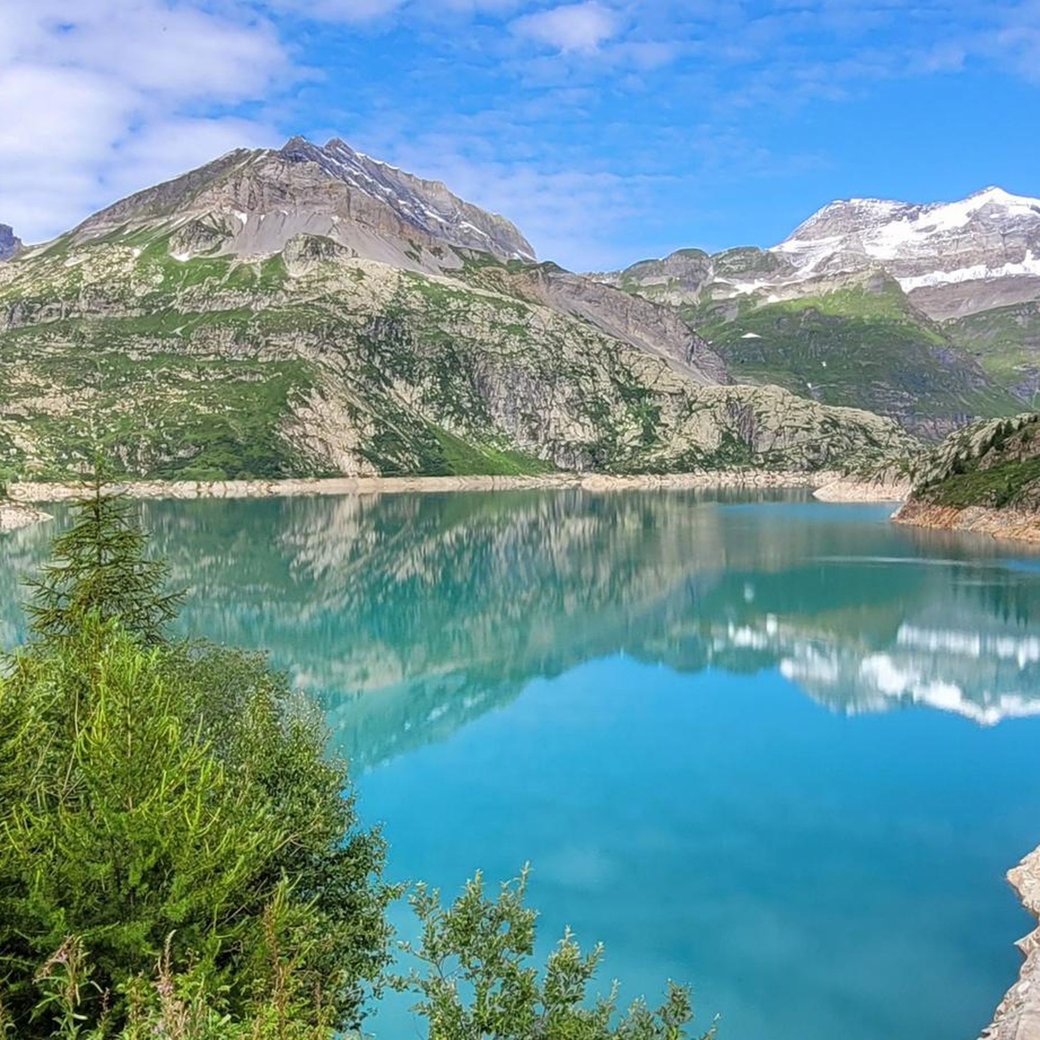
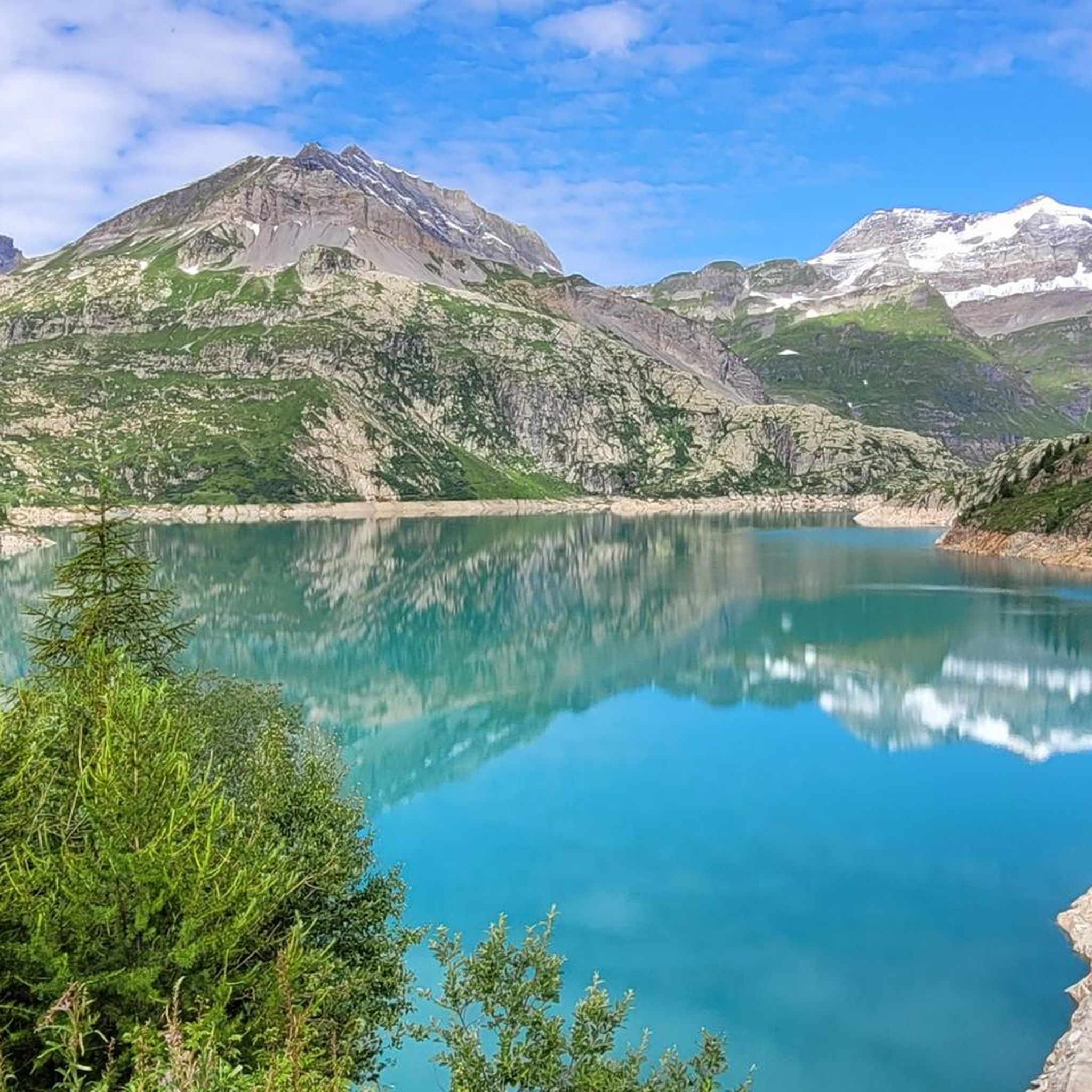
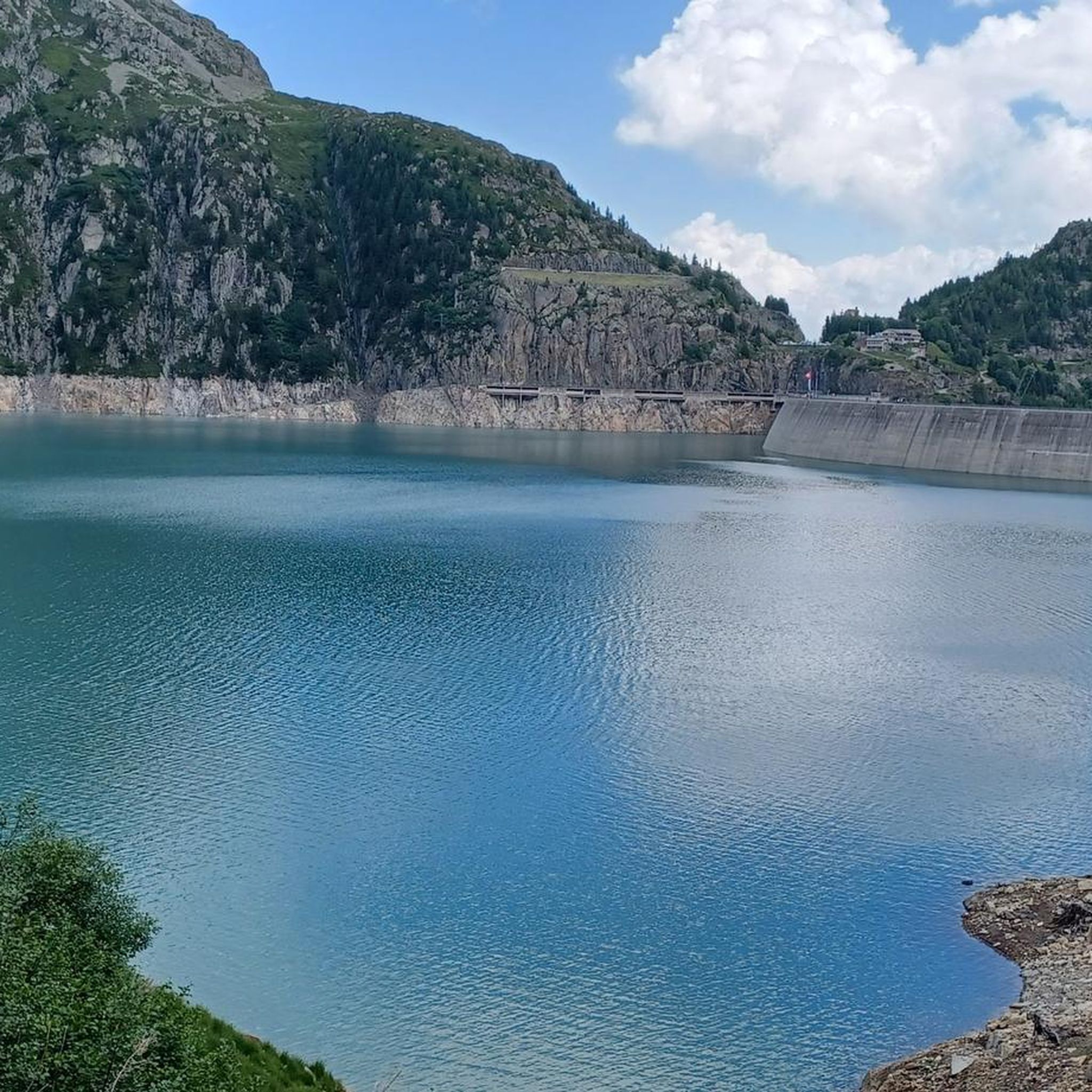
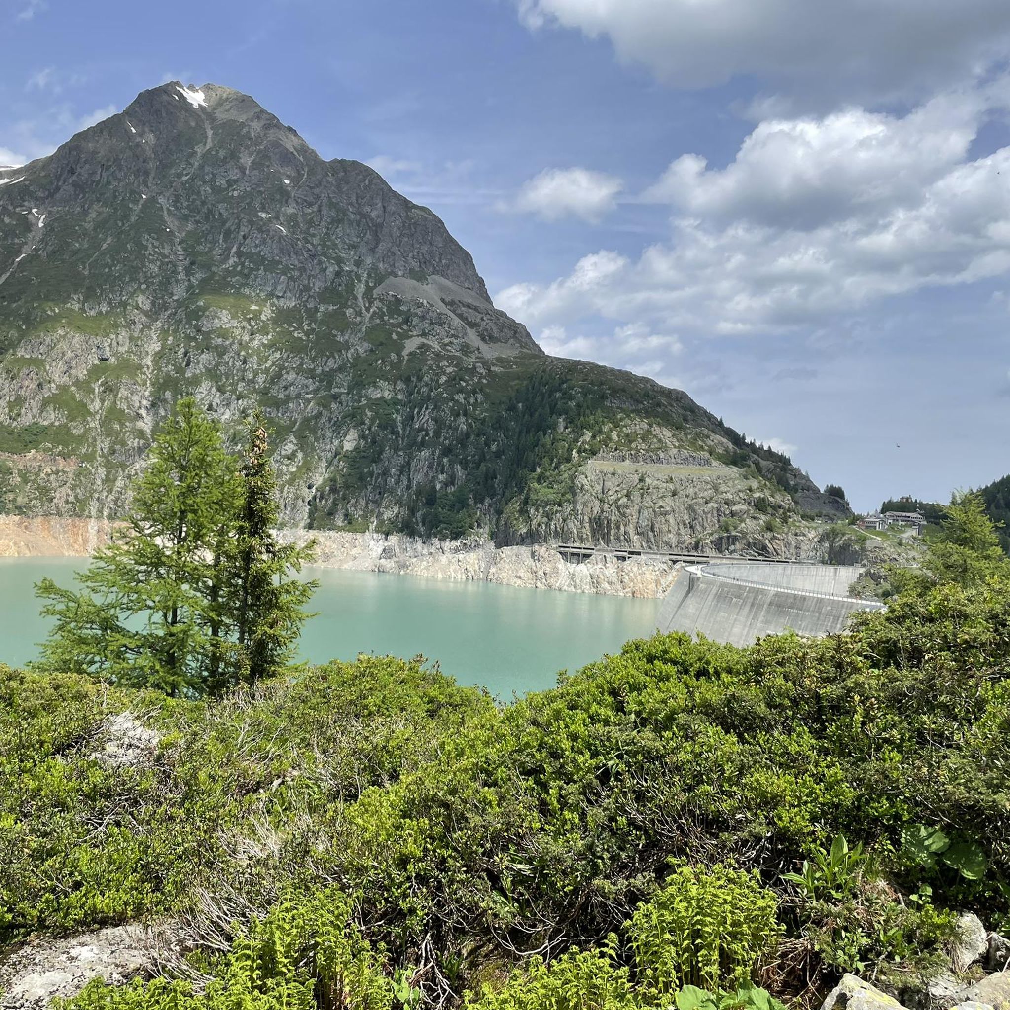
Mountain biking around Lac d'Émosson offers a high-alpine environment with challenging trails and panoramic views of the Mont Blanc massif. The terrain features a mix of singletrack, roads, and natural paths, ranging from paved and asphalt to gravel and alpine sections. Riders can expect significant elevation changes and technical sections, particularly on difficult routes. The area is characterized by its impressive dam structures and the surrounding peaks of the Valais canton.
Best mountain bike trails around Lac d'Émosson
- The most popular mountain bike trail is Chalets de Loriaz depuis Vallorcine en boucle, a 8.4 miles (13.5 km) trail that takes 2 hours 7 minutes to complete. This difficult route features significant elevation gain through alpine landscapes.
- Another top favourite among local mountain bikers is Lake Emosson from Finhaut, a moderate 8.9 miles (14.4 km) path. This route offers a steady climb to the dam with views of the surrounding mountains.
- Local mountain bikers also love the Trient to Vallorcine — Val de L, a 12.1 miles (19.5 km) trail leading through the Vallée du Trient, often completed in about 2 hours 25 minutes.
- Mountain biking around Lac d'Émosson is defined by high-alpine environments, Mont Blanc massif views, and technical terrain. The network offers options for various ability levels, from moderate to very challenging.
- The routes in Lac d'Émosson are highly rated by the komoot community with an average score of 4.1 stars from over 160 reviews. More than 2500 mountain bikers have used komoot to explore Lac d'Émosson's varied terrain.
Last updated: July 4, 2026
1.0
(1)
33
riders
13.5km
02:07
730m
730m
Hard mountain bike ride. Good fitness required. Advanced riding skills necessary. Some portions of the route may require you to push your bike.
3.0
(2)
27
riders
14.8km
01:18
380m
380m
Hard mountain bike ride. Good fitness required. Advanced riding skills necessary. Some portions of the route may require you to push your bike.

Sign up for free
11
riders
14.4km
01:44
750m
750m
Moderate mountain bike ride. Good fitness required. Advanced riding skills necessary.
4.0
(1)
5
riders
19.5km
02:25
930m
930m
Hard mountain bike ride. Very good fitness required. Advanced riding skills necessary. Some portions of the route may require you to push your bike.
2
riders
6.20km
00:44
260m
270m
Hard mountain bike ride. Great for any fitness level. Advanced riding skills necessary. Some portions of the route may require you to push your bike.
Get access to more routes and recommendations from other explorers.
Sign up for free
Already have an account?
Our route recommendations are based on thousands of hikes, rides, and runs completed by other people on komoot.
Start today with a free account
Your next adventure awaits.
Login or Signup


Other adventures around Lac d'Émosson

Tips from the Community

Intersection point Les Mayens Altitude 1320 m
1
0
Point of intersection The Plane of the Envers Altitude 1260 m
1
0

!!! Information from Auberge la Boërne 20240312: "Following a recent complaint from the neighborhood, we will probably no longer be able to open the bivouac ground." Update 20240424: The Website is not yet available for Camping.
1
0

Hot spot for Valais Cycling ❤️ road, gravel, mountain biking in Finhaut there is something to do for everyone 🤘🏻🔥
2
0

relief view and possibility of different level for enduro mountain biking
1
0

Located on the colder side of the Aiguilles Rouges and at the foot of the vast Mont Buet, the Vallée de Bérard is a peaceful and secluded haven away from the hustle and bustle of the Chamonix Valley. The valley extends to the Aiguille Rouge nature reserve and is home to a wide variety of flora and fauna, such as ibexes and chamois. This area is home to these animals, be sure to take care of them!
1
0

There is a possibilty to reach Loriaz by ski, from Le Buet, using the main track (for 4x4 autorized too).
1
0
What was once a pasture for cattle is now an alpine refuge, perched above the village of Vallorcine at 2020 meters above sea level. The area is connected to the valley below by a series of trails, but there are no ski lifts or conventional routes. So, if you want to enjoy the incredible views it offers over the valley, you have to go there on your own. The shelter offers food and accommodation. For more info, visit their website at https://www.refuge-loriaz.com/.
1
0
Frequently Asked Questions
What kind of mountain biking experience can I expect around Lac d'Émosson?
Mountain biking around Lac d'Émosson offers a high-alpine environment with challenging trails and panoramic views of the Mont Blanc massif. The terrain features a mix of singletrack, roads, and natural paths, ranging from paved and asphalt to gravel and alpine sections. Riders should expect significant elevation changes and technical sections, particularly on difficult routes.
How many mountain bike trails are there in the Lac d'Émosson area?
There are over 25 mountain bike trails available around Lac d'Émosson, catering to various skill levels, though most are considered difficult.
Are there any easy or moderate mountain bike trails for less experienced riders?
While most trails are challenging, there are a few options for moderate riders. For example, the Lake Emosson from Finhaut route is rated moderate and offers a steady climb to the dam with scenic views.
What are some of the most challenging mountain bike routes in the region?
For experienced riders seeking a challenge, routes like Chalets de Loriaz depuis Vallorcine en boucle and Trient to Vallorcine — Val de L offer significant elevation gains and technical sections through alpine landscapes.
What are the best times of year for mountain biking around Lac d'Émosson?
Given the high-alpine environment, the best time for mountain biking is typically from late spring to early autumn, when the trails are free of snow and weather conditions are more stable. Always check local conditions before heading out.
What unique natural attractions or landmarks can I see while mountain biking?
Beyond the stunning views of the Mont Blanc massif, you can explore the impressive Emosson Dam itself. Higher up, Lac du Vieux Émosson offers additional scenic beauty. A unique natural attraction in the area is the presence of 250-million-year-old dinosaur footprints, which can be reached via a hike from the reservoir.
Are there any circular mountain bike routes available?
Yes, several routes offer a circular experience. The Chalets de Loriaz depuis Vallorcine en boucle and Col des Montets – Montets Pass loop from Vallorcine are examples of challenging circular routes.
What do other mountain bikers say about the trails in Lac d'Émosson?
The mountain bike routes in Lac d'Émosson are highly rated by the komoot community, with an average score of 4.1 stars from over 160 reviews. Riders often praise the breathtaking high-alpine scenery, the challenging nature of the trails, and the panoramic views of the Mont Blanc massif.
Is there public transport or parking available for accessing the trails?
Access to Lac d'Émosson can be an adventure itself, involving a series of historic and steep railways, including the Funiculaire du Châtelard. Parking is also available near the dam. For routes starting in nearby towns like Vallorcine or Finhaut, local parking options are generally available.
Are the mountain bike trails around Lac d'Émosson suitable for families?
Most trails around Lac d'Émosson are rated difficult due to significant elevation and technical sections, making them less suitable for young children or beginners. However, families with older, experienced teenage riders might find some of the moderate sections enjoyable. Always check the specific trail difficulty before planning a family outing.
What kind of equipment is recommended for mountain biking in this region?
Given the challenging and high-alpine terrain, a well-maintained mountain bike suitable for technical trails, along with appropriate safety gear including a helmet, gloves, and protective padding, is highly recommended. Be prepared for varying weather conditions with layers of clothing, and carry sufficient water and snacks.
Most popular routes around Lac d'Émosson

Get inspired with the komoot mobile app


Explore more
Browse the best MTB trails in other regions.
