The best road cycling routes around Church Fenton
4.7
(108)
5,007
riders
126
rides
Road cycling around Church Fenton is characterized by its distinctly flat landscape, making it suitable for various skill levels. The region consists primarily of fen land and drained marsh, extending for miles with minimal elevation changes. Cyclists will find expansive agricultural lands offering open views of the countryside, predominantly on paved surfaces. This terrain provides consistent pacing opportunities for both leisurely rides and longer distances.
Best road cycling routes around Church Fenton
- The most popular road cycling route is Aldwark Bridge – Boroughbridge High Street loop from Ulleskelf, a 69.8 miles (112.3 km) trail that takes 4 hours 35 minutes to complete. This moderate route offers extensive riding through the flat, open countryside.
- Another top favourite among local road cyclists is John Smith's Brewery – Tadcaster Castle loop from Sherburn-in-Elmet, an easy 14.7 miles (23.6 km) path. This route provides a gentle ride through local villages and agricultural scenery.
- Local road cyclists also love the Saxon Signpost – All Saints Church loop from Church Fenton, a 23.9 miles (38.5 km) trail leading through flat agricultural land and historic village areas, often completed in about 1 hour 46 minutes.
- Road cycling around Church Fenton is defined by its flat fenland landscape, open agricultural views, and historic village charm. The network offers options for different ability levels, from easy loops to longer, moderate distances.
- The routes in Church Fenton are highly rated by the komoot community with an average score of 4.6 stars from more than 100 reviews. More than 5000 road cyclists have used komoot to explore Church Fenton's varied terrain.
Last updated: August 17, 2026
5.0
(1)
35
riders
39.9km
01:52
330m
330m
Moderate road ride. Good fitness required. Some segments of this route may be unpaved and difficult to ride.
23
riders
52.0km
02:03
150m
150m
Moderate road ride. Good fitness required. Mostly well-paved surfaces and easy to ride.

Sign up for free
26
riders
Easy road ride. Great for any fitness level. Mostly well-paved surfaces and easy to ride.
5.0
(4)
9
riders
20.1km
00:51
80m
80m
Easy road ride. Great for any fitness level. Mostly well-paved surfaces and easy to ride.
10
riders
30.9km
01:20
90m
90m
Easy road ride. Great for any fitness level. Mostly well-paved surfaces and easy to ride.
Get access to more routes and recommendations from other explorers.
Sign up for free
Already have an account?
Our route recommendations are based on thousands of hikes, rides, and runs completed by other people on komoot.
Start today with a free account
Your next adventure awaits.
Login or Signup

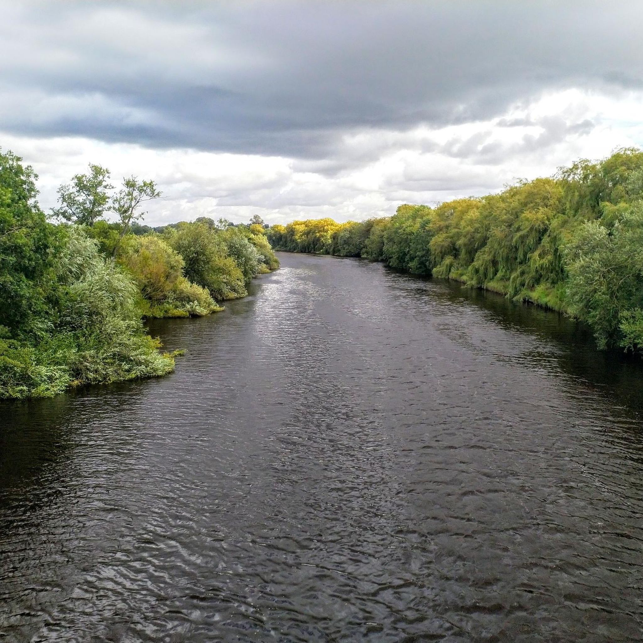
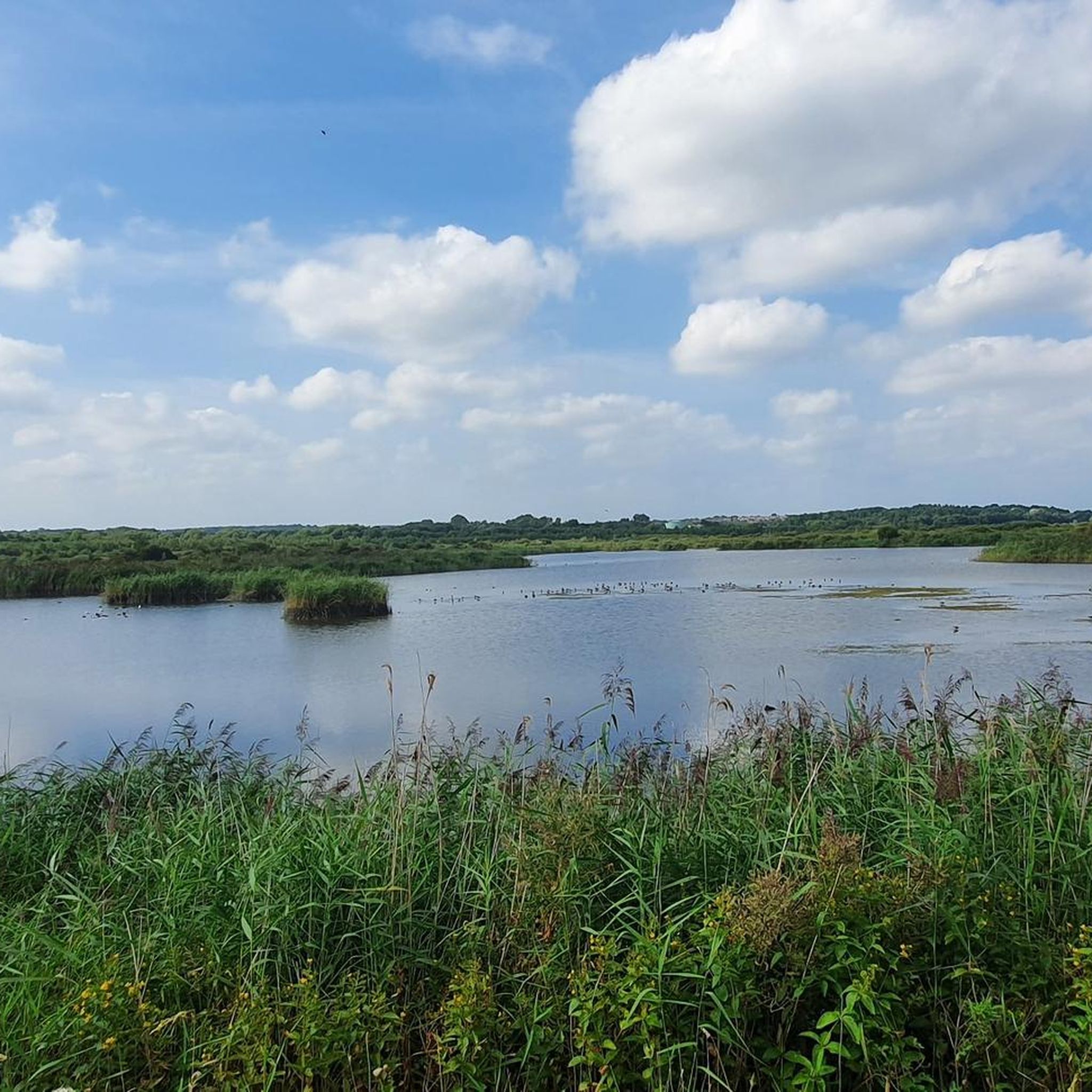

Tips from the Community

Most visually appealing part of route
0
0

Scholars describe Ryther Castle as a modest, fortified manor, likely never having substantial defences. It is also known by the name Hall Garth, referring to the field where it stood. The castle's decline is suggested by a 1440 report on Sir William Ryther's estate, which described the manor house and several cottages as being in a "ruinous" or "waste" condition. By the time the de Rhythre family relinquished the estate, the structure was a total loss. Today there is nothing to see here, merely an overgrown beck and bog, largely obscured by trees.
1
0
Built in 2001 for over £4m, the York Millennium Bridge is a pedestrian and cycle bridge over the River Ouse in York, England. It connects New Walk to Terry Avenue, south of the city centre, and is part of a popular circular walking route. The bridge was designed to shorten the walking and cycling routes for people in the South Bank area of the city to the University of York and the city centre. If you are a pedestrian, then keep your wits about you. Cyclists will not give you any room and will not slow down either.
1
0

Nice traffic free alternative. Nice also to escape thebheat
0
0


The bridge over the River Ouse features a single leaning arch with cables fanned out like bicycle spokes, symbolizing its purpose as a key link for walkers and cyclists.
1
0
Frequently Asked Questions
How many road cycling routes are available around Church Fenton?
There are over 130 road cycling routes available around Church Fenton, catering to various skill levels. You'll find a wide selection, from easy loops to more challenging, longer distances.
What makes Church Fenton a good area for road cycling?
Church Fenton is ideal for road cycling due to its distinctly flat landscape, characterized as fen land or drained marsh. This terrain offers minimal elevation changes, making it suitable for cyclists of all abilities looking for leisurely rides or long-distance routes with consistent pacing. The area also features expansive agricultural lands with open views and predominantly paved surfaces.
Are there easy road cycling routes suitable for beginners in Church Fenton?
Yes, Church Fenton offers many easy road cycling routes perfect for beginners. For example, the John Smith's Brewery – Tadcaster Castle loop from Sherburn-in-Elmet is an easy 23.6 km path that provides a gentle ride through local villages and agricultural scenery.
Can I find longer, moderate road cycling routes near Church Fenton?
Absolutely. For those seeking longer, moderate rides, the area has several options. The Aldwark Bridge – Boroughbridge High Street loop from Ulleskelf is a popular choice, covering 112.3 km and offering extensive riding through the flat, open countryside. Another moderate option is the John Smith's Brewery – Boroughbridge High Street loop from Ulleskelf, which is 79.2 km.
Are there circular road cycling routes available in Church Fenton?
Yes, many of the road cycling routes around Church Fenton are designed as loops. A local favorite is the Saxon Signpost – All Saints Church loop from Church Fenton, a 38.5 km trail leading through flat agricultural land and historic village areas.
What kind of views can I expect on road cycling routes around Church Fenton?
You can expect serene views of the flat fenland landscape and expansive agricultural lands, offering open vistas of the countryside. The routes often pass through historic villages, providing a blend of natural beauty and local charm.
Are there any historical sites or landmarks to see while cycling?
Yes, the area around Church Fenton is rich in history. You might encounter sites like the 13th-century St Mary the Virgin's Church in Church Fenton, or pass by the former RAF Church Fenton. While cycling, you could also explore highlights such as St John the Baptist Church, Healaugh, or the Selby Canal.
Is there parking available for cyclists near the routes?
While specific parking areas for cyclists are not detailed for every route, Church Fenton and surrounding villages typically offer local parking options. It's advisable to check village amenities or public car parks when planning your ride.
How can I access road cycling routes in Church Fenton using public transport?
Church Fenton has a railway station that connects to wider areas, making it possible to access routes via train. Many routes start from or pass through villages with public transport links, allowing for convenient access for cyclists.
Are there places to stop for refreshments along the road cycling routes?
Yes, Church Fenton and the surrounding villages offer various amenities including pubs and cafes where cyclists can stop for refreshments. For instance, you might find places like Birkin Tea Room along some routes.
What do other road cyclists say about the routes in Church Fenton?
The road cycling routes around Church Fenton are highly rated by the komoot community, with an average score of 4.6 stars from over 100 reviews. Cyclists often praise the flat, open countryside and the variety of routes suitable for different abilities.
What is the best time of year for road cycling in Church Fenton?
The flat terrain around Church Fenton makes it enjoyable for road cycling for much of the year. Spring and summer generally offer the most pleasant weather conditions for exploring the open agricultural lands. However, the lack of significant elevation means routes can be accessible even in milder autumn and winter conditions, though weather should always be checked.
Most popular routes around Church Fenton
Most popular attractions around Church Fenton

Get inspired with the komoot mobile app


Explore more
Browse the best Road cycling routes in other regions.
