The best running trails around Étang de Lavalduc
4.1
(134)
4,122
runners
153
runs
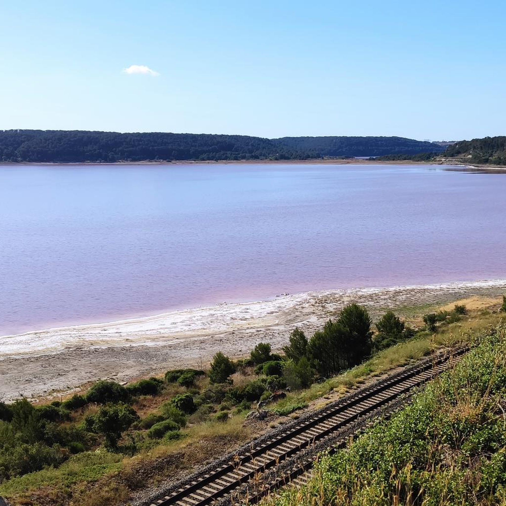
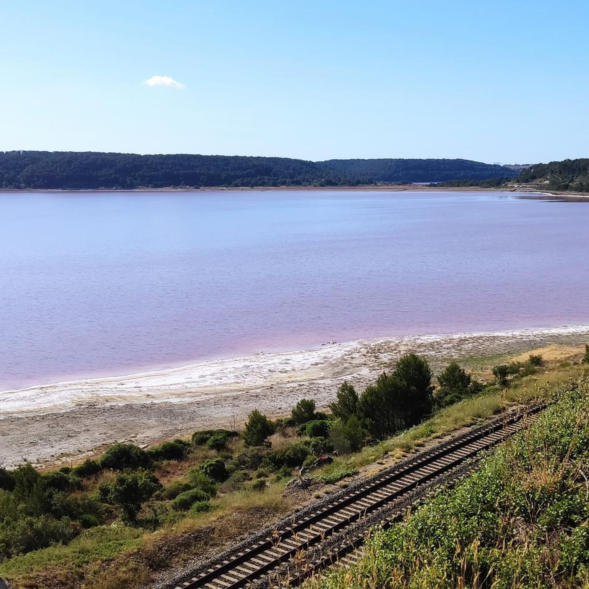
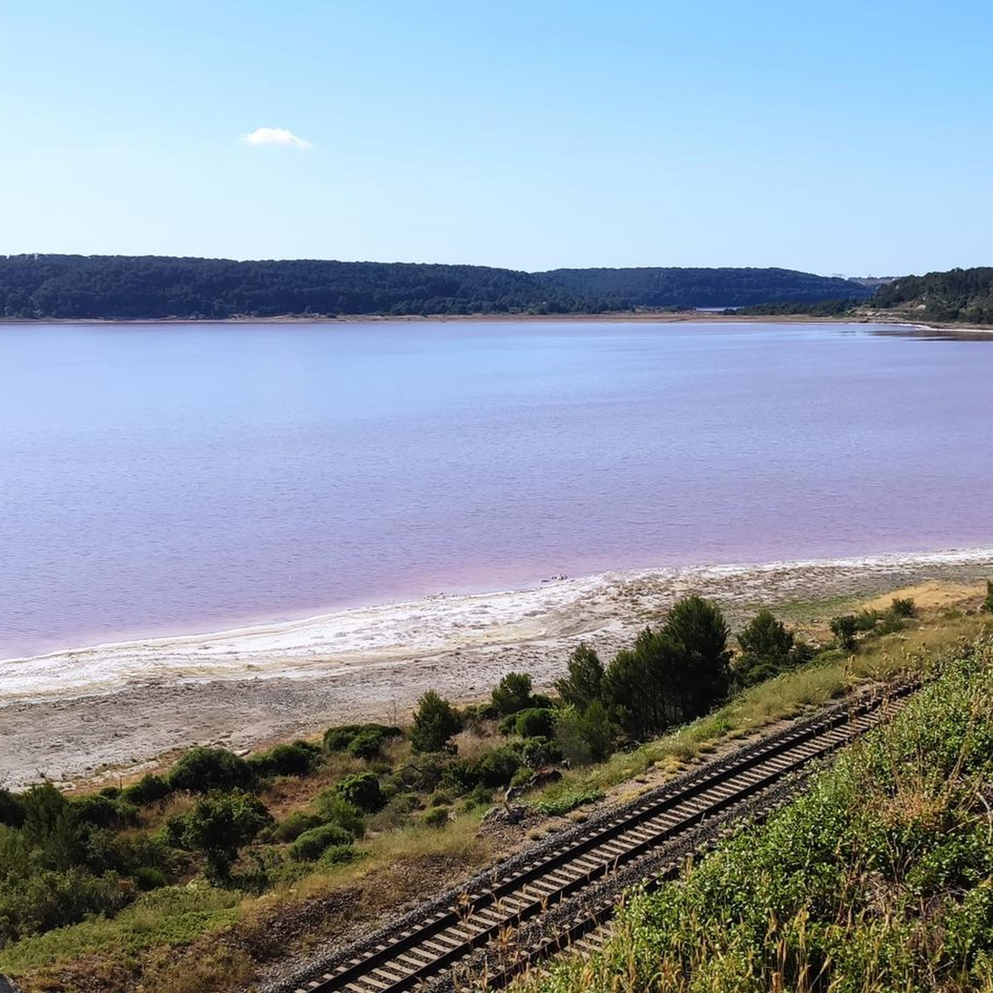
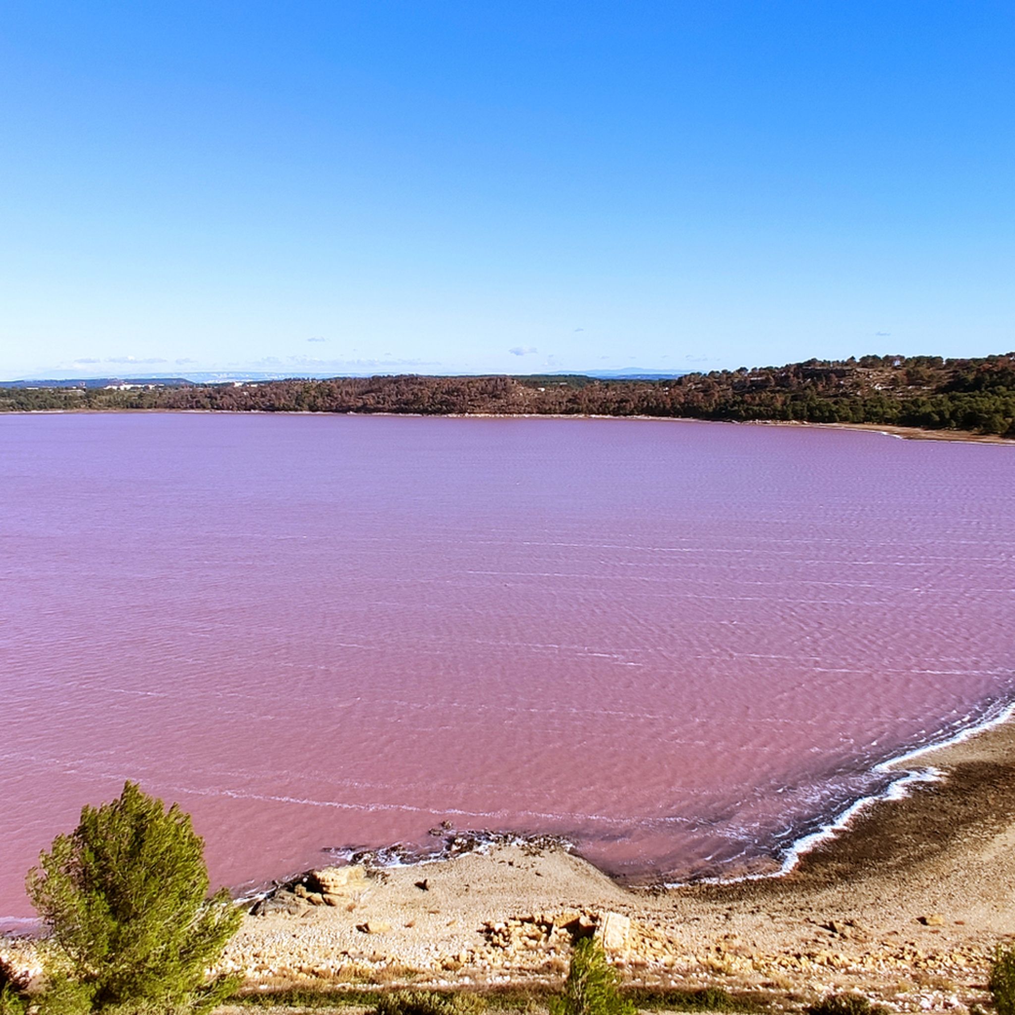
Jogging routes around Étang de Lavalduc offer diverse terrain within a unique natural setting. The region is characterized by its iridescent pink saltwater lagoon, which is the lowest point in France, situated approximately 10 meters below sea level. Surrounding the pond are hills covered with scrubland and pine forests, providing varied landscapes for running. This area, including Étang du Pourra and Étang d'Engrenier, forms a protected Natura 2000 zone, preserving its wild character.
Best jogging routes around Étang de Lavalduc
…Last updated: July 1, 2026
85
runners
Moderate run. Good fitness required. Mostly paved surfaces. Suitable for all skill levels.
4.0
(1)
37
runners
Hard run. Very good fitness required. Mostly paved surfaces. Suitable for all skill levels.

Sign up for free
14
runners
Moderate run. Good fitness required. Mostly paved surfaces. Suitable for all skill levels.
14
runners
Moderate run. Good fitness required. Mostly paved surfaces. Suitable for all skill levels.
6
runners
Easy run. Great for any fitness level. Mostly paved surfaces. Suitable for all skill levels.
Get access to more routes and recommendations from other explorers.
Sign up for free
Already have an account?
Our route recommendations are based on thousands of hikes, rides, and runs completed by other people on komoot.
Start today with a free account
Your next adventure awaits.
Login or Signup

Tips from the Community

U-turn in the oppidum because it is surrounded by fence then impassable path in the descent above the Etang du Pourra, charred trees and many branches on the way... So some parts to avoid especially in VAE ...
2
0

A magnificent chapel and a high place of local archeology to visit which also offers magnificent views of the surrounding ponds and the town of Istres! Unavoidable !
4
0
The Etang du Pourra offers beautiful views and it has the originality of being sometimes dry! It can be seen from the heights or from the path that runs along its shore.
2
0
Like these neighbours, this small pond is pink which gives striking and original views! In addition, you can pass on the dike between the two ponds: To see!
2
0

Around the archaeological site of Saint Blaise are several hundred rock tombs dating back to the 5th century.
4
1
The oppidum of Saint-Blaise is one of the region's most important archaeological sites. Here the traces of human settlement reach back to the 5th millennium BC. Salt was traded on the Opidium in the 7th century. A very exciting destination! The oppidum can be visited free of charge from Tuesday to Sunday. From the 1st of June to the 30th of September the visit is limited due to forest fire danger. Whether the visit is approved can always be requested the day before. Information can be obtained from the Tourist Office of the Département on 0 811 20 13 13.
4
2
The Étang d'Engrenier can only be reached on foot or by bike. The lake has a very high salinity and hosts an unusual flora and fauna. He is surrounded by a very special atmosphere.
4
2

The oppidum of Saint-Blaise is a major archaeological site in the western Mediterranean, located in the town of Saint-Miter-les-Remparts, near Fos-sur-Mer, in the Bouches-du-Rhône. The site can be visited for free from Tuesday to Sunday. Established at the northern end of the Castillon plateau, near the sea, the Berre and Crau lakes, the Pourra, Citis, Lavalduc, d'Engrenier, Rassuen and Olivier ponds and the stomach, the oppidum is located in a majestic environment and one of the most steeped in history in all of Provence and which, with the salt drawn from these ponds, was probably the initial reason for its foundation. A Hellenistic wall reinforces the natural defenses - large vertical cliffs - offered by the site. The oldest traces of human occupation date back to the 5th millennium BC. AD . On this Celto-Ligurian oppidum, the Etruscans created a trading post in the 7th century and began trading in salt collected there. The city enjoyed great prosperity in Etruscan and Greek times. It then produced a quality salt. She was a competitor for Marseille for a while. The oppidum was inhabited until the 14th century. The last inhabitants left the old city in 1390, to settle in Saint-Miter. https://fr.wikipedia.org/wiki/Oppidum_de_Saint-Blaise
6
3
Frequently Asked Questions
What makes the running routes around Étang de Lavalduc unique?
The running routes around Étang de Lavalduc offer a truly unique experience due to the lake's iridescent pink hue, caused by its extremely high salinity and the presence of beta-carotene-rich algae. This area is also notable for being the lowest point in France, approximately 10 meters below sea level, and is part of a protected Natura 2000 zone, ensuring a wild and dynamic landscape of scrubland and pine forests.
Are there running trails suitable for beginners or those seeking an easier jog?
Yes, Étang de Lavalduc offers a variety of running paths, including 18 routes classified as easy. These trails provide a gentle introduction to the region's unique landscapes, allowing runners of all levels to enjoy the scenery without significant elevation challenges.
What kind of terrain can I expect on the jogging routes?
The terrain around Étang de Lavalduc is quite varied. You'll find paths winding through scrubland and pine forests, with some routes offering moderate elevation changes. The landscape is characterized by its saltwater lagoons and surrounding hills, providing a mix of natural surfaces for your run.
Are there any historical or natural points of interest to see while running?
Absolutely! Many routes offer glimpses of the region's rich history and natural beauty. For instance, the Oppidum of Saint-Blaise – Saint-Blaise Oppidum loop explores the significant archaeological site of the Oppidum of Saint-Blaise, offering panoramic views and insights into ancient settlements. The area is also part of a Natura 2000 zone, preserving its wild character.
Can I find circular running routes around Étang de Lavalduc?
Yes, many of the running routes in the area are circular, allowing you to start and finish at the same point. A popular option is the Étang d'Engrenier loop from Réserve naturelle du Pourra - domaine du Ranquet, which takes you through varied terrain around the Étang d'Engrenier.
What do other runners say about the trails in Étang de Lavalduc?
The running routes in Étang de Lavalduc are highly rated by the komoot community, with an average score of 4.3 stars from over 100 reviews. Runners often praise the unique natural beauty, the varied terrain, and the peaceful, immersive outdoor experience the area provides.
Are the jogging routes around Étang de Lavalduc suitable for families?
While specific 'family-friendly' routes are not explicitly highlighted for strollers, the presence of 18 easy routes suggests there are options suitable for families looking for a less strenuous run or walk. It's advisable to check individual route details for terrain and distance to ensure it meets your family's needs.
Is it possible to bring dogs on the running trails?
The region around Étang de Lavalduc is a natural area. While many trails in France are dog-friendly, especially in natural settings, it's always recommended to keep dogs on a leash to protect wildlife, particularly as it's a protected Natura 2000 zone. Check local signage for specific regulations on individual paths.
Are there parking facilities available near the running routes?
While the guide does not specify exact parking locations, the starting points for many routes, such as those from Réserve naturelle du Pourra - domaine du Ranquet, typically have designated parking areas for visitors accessing the trails. It's generally recommended to check the specific route details on komoot for parking information.
What is the best time of year to go running in Étang de Lavalduc?
The region's Mediterranean climate makes it suitable for running for much of the year. Spring and autumn offer pleasant temperatures, ideal for outdoor activities. Summers can be hot, so early mornings or late afternoons are preferable. Winters are generally mild, allowing for year-round enjoyment, though conditions can vary.
Are there any facilities like cafes or restrooms along the routes?
The area around Étang de Lavalduc is largely natural and undeveloped, appealing to those seeking a peaceful outdoor experience. There are generally no on-site facilities like restrooms or cafes directly along the trails. Visitors are encouraged to bring their own necessities, such as water and snacks.
What is the longest running route available in the area?
Among the featured routes, the Engrenier Pond – Views of Étang d'Engrenier loop from Réserve naturelle du Pourra - domaine du Ranquet is one of the longer options, covering approximately 10.2 kilometers (6.3 miles) and typically taking around 1 hour and 15 minutes to complete.
Most popular routes around Étang de Lavalduc

Get inspired with the komoot mobile app


Explore more
Browse the best Running Trails & Routes in other regions.
