The best running trails around Misterton
4.5
(29)
2,018
runners
246
runs
Jogging routes around Misterton are characterized by the flat terrain of the Humberhead Levels lacustrine plain, offering accessible paths along waterways. The region features the confluence of the River Idle and River Trent, providing riverside running opportunities. Natural areas like the Mother Drain and River Idle Washlands contribute to varied landscapes for outdoor activity.
Best jogging routes around Misterton
- The most popular jogging route is Henley Copse loop from Misterton, a 4.3 miles (7.0 km) trail that takes 45…
Last updated: October 7, 2026
14
runners
6.27km
00:40
70m
70m
Moderate run. Good fitness required. Mostly paved surfaces. Suitable for all skill levels.
15
runners
11.4km
01:14
200m
200m
Moderate run. Good fitness required. Mostly paved surfaces. Suitable for all skill levels.

12
runners
41.7km
04:35
540m
540m
Hard run. Very good fitness required. Mostly paved surfaces. Suitable for all skill levels.
14
runners
7.56km
00:49
140m
140m
Moderate run. Good fitness required. Mostly paved surfaces. Suitable for all skill levels.
6
runners
Hard run. Very good fitness required. Mostly paved surfaces. Suitable for all skill levels.
Get access to more routes and recommendations from other explorers.
Already have an account?
Our route recommendations are based on thousands of hikes, rides, and runs completed by other people on komoot.
Start today with a free account
Your next adventure awaits.
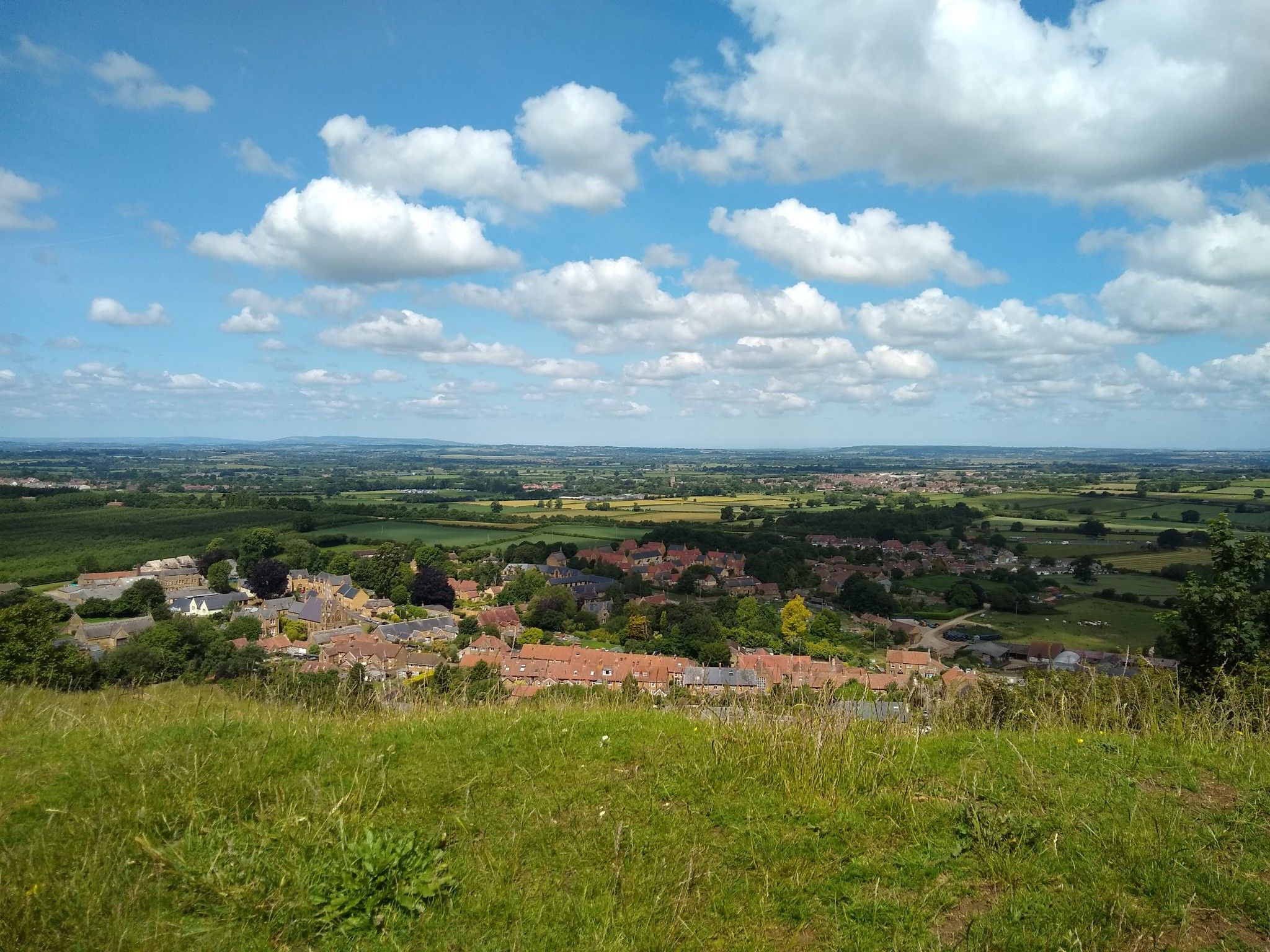
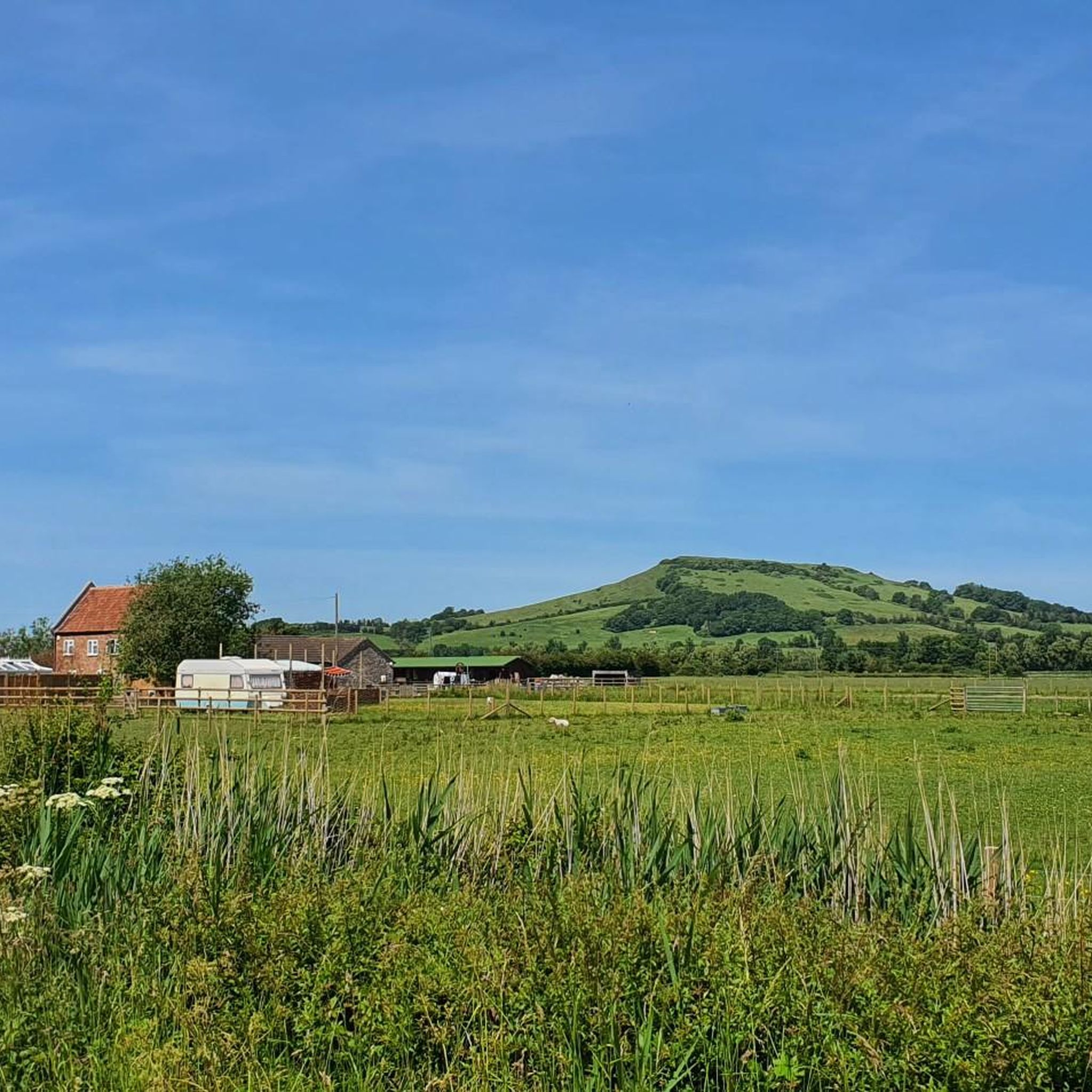
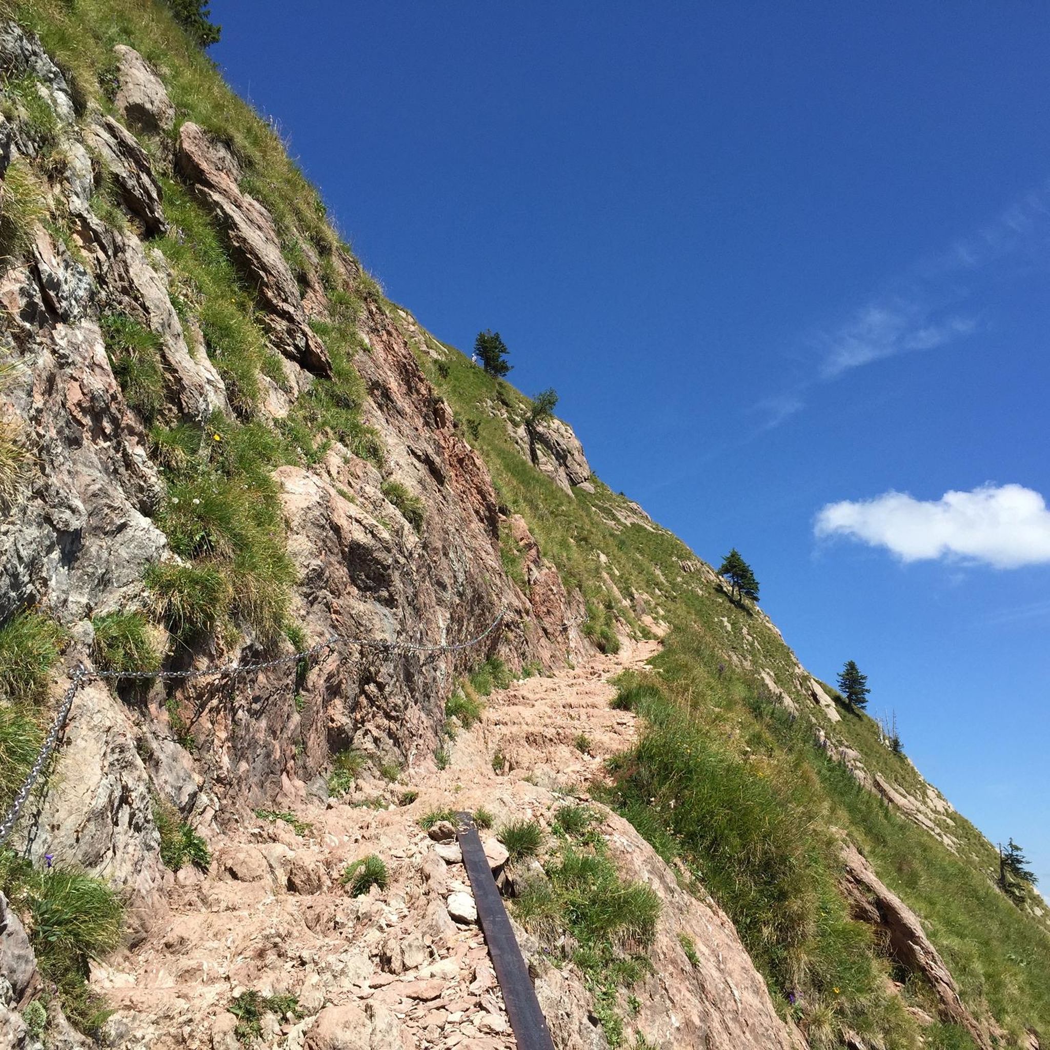

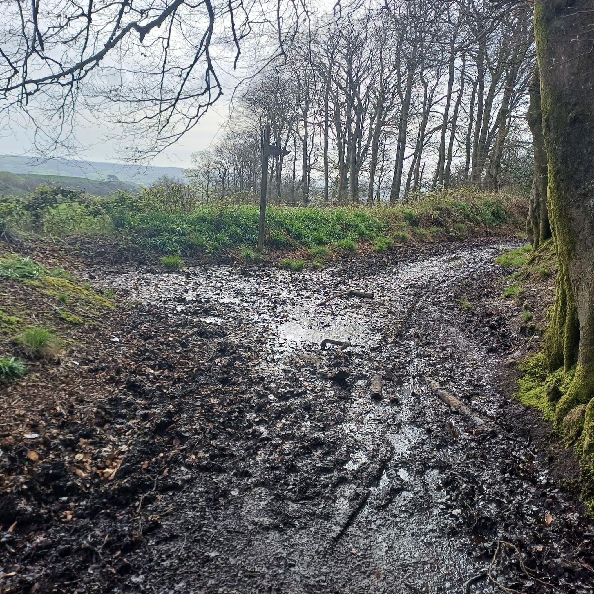
Other adventures around Misterton

Tips from the Community

Small village which is almost like a cross roads to different cycling routes. Co-op shop here for resupply options.
1
0

Ham Hill is a magnificent country park with panoramic views over the South Somerset Moors, Exmoor and the Mendip Hills from the top. During the Iron Age, a huge hill fort would have stood here which would have been one of the largest in the south west. Today, there's a number of hiking trails and bike routes through the park.
1
0

Ham Hill has been quarried for so many generations that it’s surprising there’s still a hill there at all. The local hamstone has a pretty honey yellow hue to it and many of the locals buildings, and indeed entire villages, have been built with it. The quarry has long been defunct and, left to nature’s own devices, it has become an intriguing landscape of grassy mounds. It’s fun to roam around, particularly if you have children in tow.
2
0
This 16th-century manor is built from local hamstone, giving it a wonderful yellow hue. While it’s privately owned and the home of a local polo club, it’s still a fascinating sight from the road. The manor underwent significant construction during the 17th and 18th centuries along with the addition of other barns and buildings. Fun fact: they hold wedding receptions there, if you’re in the market for a venue.
2
0
Part of the Wulfric Benefice (named for St Wulfric who lived at one of the churches), this 13th century church lies next to Wayford Manor. The manor is exceptionally beautiful with wonderful gardens but is rarely open to the public. Instead, enjoy the serenity and beauty of the church instead, which is a marvellous slice of history all by itself.
0
0
This stunning patch of woodland lies just outside the village of Wayford and holds wonderful serenity under its canopy. It experienced a little fame in 2014 and 2015 thanks to its proliferation of fairy doors. While it started with just one intricately crafted wooden door in the base of a tree, more and more doors cropped up and with them came crowds and children who left presents and notes for the fairies. The local residents eventually shut the wood temporarily and removed the doors but the wood is no less magical for its fairy exodus. Instead, you’ll find tumbling streams, vibrant flora and unusual trees.
0
0
Somerset and Dorset are riddled with strip lynchets and some examples are particularly eye-catching. Best viewed from a distance, strip lynchets were a type of earthwork commonly used in ancient field systems, mainly in southern Britain. Like terraces in other countries, it’s thought that strip lynchets were made to increase the agricultural land available in hilly areas. There’s also a theory that they came about as a result of repeated ploughing. These ones can be seen from the south, on the southern side of Brympton Hill.
1
0

Frequently Asked Questions
How many running routes are available around Misterton?
There are over a dozen dedicated running routes around Misterton, catering to various preferences and fitness levels. The komoot community has explored 13 routes in total, offering a good selection for your next run.
What kind of terrain can I expect on jogging routes in Misterton?
Jogging routes in Misterton are primarily characterized by the flat terrain of the Humberhead Levels lacustrine plain. You'll find accessible paths along waterways like the River Idle and River Trent, open washlands, and rural village surroundings. This makes for generally easy running conditions, though some routes may include varied rural landscapes.
Are there any easy running routes suitable for beginners in Misterton?
Yes, there is at least one easy running route available. The flat nature of the region, particularly along river paths and washlands, makes many sections suitable for beginners or those looking for a less strenuous run. Look for routes with minimal elevation gain for the easiest experience.
Can I find circular running routes in the Misterton area?
Many of the running routes around Misterton are designed as loops, offering circular paths that bring you back to your starting point. For example, the Henley Copse loop from Misterton is a popular moderate circular option.
Are the running trails around Misterton suitable for families?
The generally flat terrain and presence of amenities like the Misterton Sports Field, which includes a children's play park, make many areas suitable for families. While specific family-friendly routes aren't detailed, the accessible nature of riverside paths and open green spaces could be enjoyable for a family run or walk. Always check individual route details for suitability.
Are dogs allowed on the running routes in Misterton?
While many public footpaths in the UK are dog-friendly, it's always best to keep dogs on a leash, especially when passing through farmland or areas with livestock, and to follow the Countryside Code. Specific rules for each route are not provided, but generally, well-behaved dogs on leads are welcome on public rights of way.
What are some interesting sights or landmarks I can see while jogging?
While jogging around Misterton, you can enjoy the natural beauty of the River Idle and River Trent confluence, and the diverse ecosystems of the Mother Drain and River Idle Washlands. Slightly further afield, you might encounter highlights such as Pilsdon Pen Summit and Trig Point or the historic Ham Hill War Memorial and Stone Circle, offering scenic views and points of interest.
Where can I park when accessing jogging routes in Misterton?
Misterton village itself offers local amenities, and the Misterton Sports Field provides a central hub which may offer parking facilities. For specific routes, parking information is often available in the route details on komoot. Many routes starting from villages or popular points will have designated parking areas nearby.
Is public transport available to reach the running trails in Misterton?
Misterton is a village in Nottinghamshire, and while local bus services connect it to nearby towns, direct public transport to specific trailheads might be limited. It's advisable to check local bus schedules for Misterton and plan your route accordingly if relying on public transport.
What do other runners say about the routes in Misterton?
The running routes in Misterton are highly rated by the komoot community, with an average score of 4.2 stars from more than 15 reviews. Over 1700 runners have used komoot to explore Misterton's varied terrain, often praising the flat river paths, open washlands, and rural village surroundings for enjoyable runs.
Are there any longer or more challenging running options in Misterton?
Yes, Misterton offers several longer and more challenging running options. For instance, The Co-operative Food Merriott loop from Crewkerne is a difficult 10.8-mile (17.4 km) trail, and Shepherds' Huts by the Lake – The Co-operative Food Merriott loop from Crewkerne extends to nearly 16 miles (25.8 km), providing significant distances and elevation for experienced runners.
What is the best time of year to go jogging in Misterton?
Misterton's flat terrain makes it accessible year-round. However, the spring and autumn months often offer the most pleasant running conditions with milder temperatures and beautiful scenery. During winter, paths along waterways might be muddy or icy, while summer can be warm, so always check local weather conditions before heading out.
Are there any places to stop for refreshments after a run in Misterton?
Misterton is a village with local amenities. You can find local shops, and typically villages of this size have pubs or cafes where you can stop for refreshments after your run. The Misterton Sports Field is also a central community hub, though specific refreshment facilities there would need to be confirmed locally.
Most popular attractions around Misterton

Get inspired with the komoot mobile app


Explore more
Browse the best Running Trails & Routes in other regions.
