The best walks and hikes around Burgoberbach
4.5
(35)
155
hikers
40
hikes
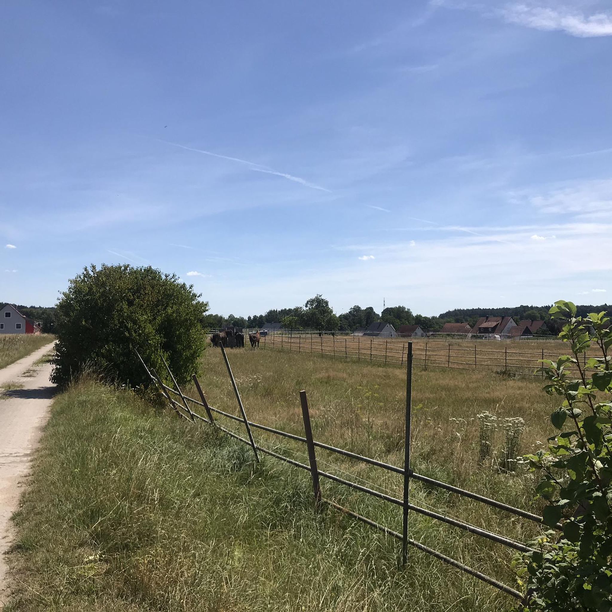
Hiking around Burgoberbach offers varied terrain within Germany's Middle Franconia region. The municipality is situated amidst hills and a rural landscape, characterized by agriculture. Nearby natural features include the Altmühl river and the Franconian Lake District, providing diverse environments for outdoor activities. The area's topography ranges from gentle elevations to more pronounced hills, supporting an extensive network of hiking trails.
Best hiking trails around Burgoberbach
- The most popular hiking route is Sommersdorf Castle – Stork's Nest Thann loop from Sommersdorf…
Last updated: July 5, 2026
4.4
(5)
12
hikers
Moderate hike. Good fitness required. Easily-accessible paths. Suitable for all skill levels.
5.0
(2)
11
hikers
9.07km
02:19
30m
30m
Moderate hike. Good fitness required. Easily-accessible paths. Suitable for all skill levels.

Sign up for free
5.0
(2)
11
hikers
Easy hike. Great for any fitness level. Easily-accessible paths. Suitable for all skill levels.
6
hikers
Moderate hike. Good fitness required. Easily-accessible paths. Suitable for all skill levels.
3.0
(2)
4
hikers
5.25km
01:22
40m
40m
Easy hike. Great for any fitness level. Easily-accessible paths. Suitable for all skill levels.
Get access to more routes and recommendations from other explorers.
Sign up for free
Already have an account?
Our route recommendations are based on thousands of hikes, rides, and runs completed by other people on komoot.
Start today with a free account
Your next adventure awaits.
Login or Signup

Other adventures around Burgoberbach

Tips from the Community

Great for hiding in the summer.
0
0

Unfortunately, passage is prohibited.
0
0

“Bible Trail” of the municipality of Neuses, which took the excavations around the former pilgrimage church of Saint Salvator as an opportunity to create a “Bible Trail” on this medieval pilgrimage route in 2007. On the way you will find various stations, equipped with steles that have a biblical reference, and also a place of creation. Every now and then there is time to pause and reflect.
1
0
Sankt Salvator, the oldest former pilgrimage church in the Eichstätt diocese, is located in the middle of the Steinbach forest and has a very interesting history to offer. A miracle of the host in 1353 was the reason for the creation of this pilgrimage church in the Steinbachwald near Rauenzell. First it was a small wooden church that was built, later a stately pilgrimage church followed, which increasingly developed into a thriving pilgrimage site. When secularization took hold in Bavaria in 1803, the Rauenzellers were forced to demolish the pilgrimage church of St. Salvator. It was only around 200 years later that it was possible to reconstruct and restore the remains of the old pilgrimage church through the founding of a support association. Today you can see the entire outline of the pilgrimage church as well as the excavated and secured foundations in the middle of the forest and the place invites you to reflect.
0
0

The station was used from 1903 to 1970. A small piece of tracks and a memorial stone remind us of this.
0
0
In this beautiful garden, at a crossroads in the middle of the forest, you can see the different seasons in harmony with nature. In the middle of the garden there is a small birdhouse and in front of it is a slightly twisted cross that represents the detours of life. An information board explains the special features of the facility, and you can also hear the birds singing. A bench in every season invites you to linger.
0
0
The small guardian angel chapel was built in 2008/2009 and is lovingly cared for. The layout around the chapel was inspired by symbols and plants from the Bible.
0
0
In 1353 a small pilgrimage chapel was built in the Steinbach Forest. More buildings followed over time and the pilgrimage flourished more and more until secularization came to Bavaria in 1803. From 1806 the church fell into disrepair. Only the remains of a well were visible evidence of former Christian life. After 195 years, the founding of a support association made it possible to restore or reconstruct the remains of the old church. The Sankt Salvator e.V. association was founded on July 9, 2002. Archaeological excavations took place in autumn 2002. Well-preserved remains of the foundations of the pilgrimage church and remains of walls from previous buildings, which may have been built before 1353, were found. In 2003 the head of the well was reconstructed and the 23 meter deep well, which was filled with the demolition of the church in 1807, was cleaned up. The complete outline can now be discovered again in the forest scenery for the forest walker and preserved for the next centuries. https://de.wikipedia.org/wiki/Sankt_Salvator_(Steinbachtal) If you follow the Bible path from Neuses, the last stretch of the road to the ruins is lined with a last stone stele. The ruin is also the end of the Bible trail. A little further in the direction of Rauenzell there is an imposing statue dedicated to the Virgin Mary.
0
0
Frequently Asked Questions
How many hiking trails are available around Burgoberbach?
There are over 40 hiking trails around Burgoberbach, offering a variety of options for different skill levels. You'll find 29 easy routes and 11 moderate trails to explore the region's landscapes.
What kind of terrain can I expect on hikes in Burgoberbach?
Hikes around Burgoberbach feature varied terrain, characterized by gentle elevations and a rural landscape. You'll encounter paths through agricultural areas, hills, and proximity to the Altmühl river and the Franconian Lake District. The broader region also offers limestone cliffs, the Jura mountains, and charming river valleys.
Are there any family-friendly hiking routes in Burgoberbach?
Yes, Burgoberbach offers many family-friendly options, with 29 easy trails available. These routes are generally suitable for all ages and provide a pleasant way to experience the local nature. For example, the Sommersdorf Castle loop from Sommersdorf is an easy 4.7 km trail that takes about 1 hour and 15 minutes.
Can I bring my dog on the hiking trails in Burgoberbach?
Most hiking trails in the Burgoberbach region are dog-friendly, allowing you to enjoy the outdoors with your canine companion. It's always recommended to keep dogs on a leash, especially in agricultural areas or near wildlife, and to respect local regulations.
What interesting landmarks or natural features can I see while hiking near Burgoberbach?
While hiking, you can discover several interesting landmarks and natural features. The area is close to the Altmühl river and the Franconian Lake District. You might encounter historic architecture like the 14th-century St. Nicholas Church or the 16th-century town hall in Burgoberbach. Nearby, you can visit Sommersdorf Castle, or explore the historic town center of Wolframs-Eschenbach Old Town.
Are there circular hiking trails available in Burgoberbach?
Yes, many of the trails around Burgoberbach are circular, making them convenient for day trips. Popular options include the Sommersdorf Castle – Stork's Nest Thann loop from Sommersdorf, the Cell Tower loop from Burgoberbach, and the Boulder Fountain Rest Area – Bench Under a Tree loop from Burgoberbach.
What is the best time of year to go hiking in Burgoberbach?
The region around Burgoberbach is beautiful throughout the year, but spring, summer, and early autumn generally offer the most pleasant hiking conditions. During these seasons, the weather is mild, and the natural landscapes are vibrant. Winter hiking is also possible, though some paths might be affected by snow or ice.
What do other hikers enjoy most about the trails in Burgoberbach?
The trails in Burgoberbach are highly rated by the komoot community, with an average score of 4.5 stars from over 30 reviews. Hikers often praise the varied terrain, the rural charm, and the well-maintained paths that lead through picturesque landscapes and offer views of the surrounding countryside.
Are there any easy hiking routes for beginners in Burgoberbach?
Absolutely. Burgoberbach is an excellent place for beginners, with 29 easy trails. An example is the Zauberwald (Magic Forest) – The Righteous Path Monument loop from Neuses, which is an easy 4.8 km route taking about 1 hour and 15 minutes, perfect for a relaxed walk.
Are there any longer, more challenging hikes near Burgoberbach?
While Burgoberbach itself offers moderate trails, the wider Middle Franconia region provides options for longer, more challenging hikes. For instance, sections of the Panorama long-distance hike along the upper Altmühl stretch over six days from Ansbach to Eichstätt, offering a more extensive trekking experience.
Where can I find parking or public transport access for hiking trails in Burgoberbach?
Many hiking routes around Burgoberbach start from accessible points within the municipality or nearby villages, where parking is generally available. For specific routes, check the tour details on komoot for information on starting points and potential parking facilities. Public transport options may connect to larger towns in the region, from which local buses or short walks can lead to trailheads.
Most popular routes around Burgoberbach
Most popular attractions around Burgoberbach

Get inspired with the komoot mobile app


Explore more
Browse the best Hikes in other regions.
