The best walks and hikes around Treneglos
4.8
(495)
3,286
hikers
35
hikes
Hiking around Treneglos offers access to the dramatic north Cornish coast, characterized by rugged clifftop walks and unspoiled coastline. The region features a mix of sweeping sandy beaches, hidden coves, and rural green landscapes. Hikers can explore prominent natural features like Dinas Head and The Quies, with routes often providing expansive coastal views.
Best hiking trails around Treneglos
- The most popular hiking route is Pentargon Cliff and Waterfall – Rocky Valley loop from St. Juliot, a 16.6 miles (26.7…
Last updated: June 26, 2026
4.3
(3)
38
hikers
22.9km
06:45
630m
630m
Hard hike. Very good fitness required. Easily-accessible paths. Suitable for all skill levels.
4.8
(26)
246
hikers
16.6km
05:00
530m
530m
Hard hike. Very good fitness required. Easily-accessible paths. Suitable for all skill levels.

Sign up for free
5.0
(2)
21
hikers
7.16km
02:01
140m
140m
Moderate hike. Good fitness required. Easily-accessible paths. Suitable for all skill levels.
5.0
(2)
6
hikers
4.45km
01:27
200m
200m
Easy hike. Great for any fitness level. Easily-accessible paths. Suitable for all skill levels.
6
hikers
4.45km
01:15
90m
90m
Easy hike. Great for any fitness level. Easily-accessible paths. Suitable for all skill levels.
Get access to more routes and recommendations from other explorers.
Sign up for free
Already have an account?
Our route recommendations are based on thousands of hikes, rides, and runs completed by other people on komoot.
Start today with a free account
Your next adventure awaits.
Login or Signup
Tips from the Community

The harbour was built in 1587 by Sir Richard Grenville and used until the 19th century for the transport of slate from the nearby quarries. The natural stone harbour walls also protect the area from storm surges. On the morning of 16 August 2004, a severe storm raged over Southern England, causing the water level of the rivers flowing through Boscastle to rise by two metres within an hour. Around 11 a.m. local time, a four-metre high flood wave surged through the narrow valley, sweeping over 50 cars and six buildings into the Atlantic. Another 20 houses were so badly damaged that they had to be demolished later. Just under 30 minutes later, one of the largest air rescue operations in British history began. Seven SAR helicopters from the Royal Air Force and Royal Navy rescued over 150 people from the roofs of their houses. British media later spoke of the "Miracle of Boscastle", as the devastating flood claimed no lives. Source: Wikipedia
0
0

Path down says closed due to cliff falls but no problem getting down except steep and uneven. Suggest avoid cliff at back near waterfall as looks as if that is the cliff fall area. Choose low tide and walk round to neighbouring cove while beach exposed. Lots of large caves to exore- magical spot.
0
0

Good footwear as some of coastal path is uneven. Also plenty of fluids on a hot day as not much shelter.
0
0

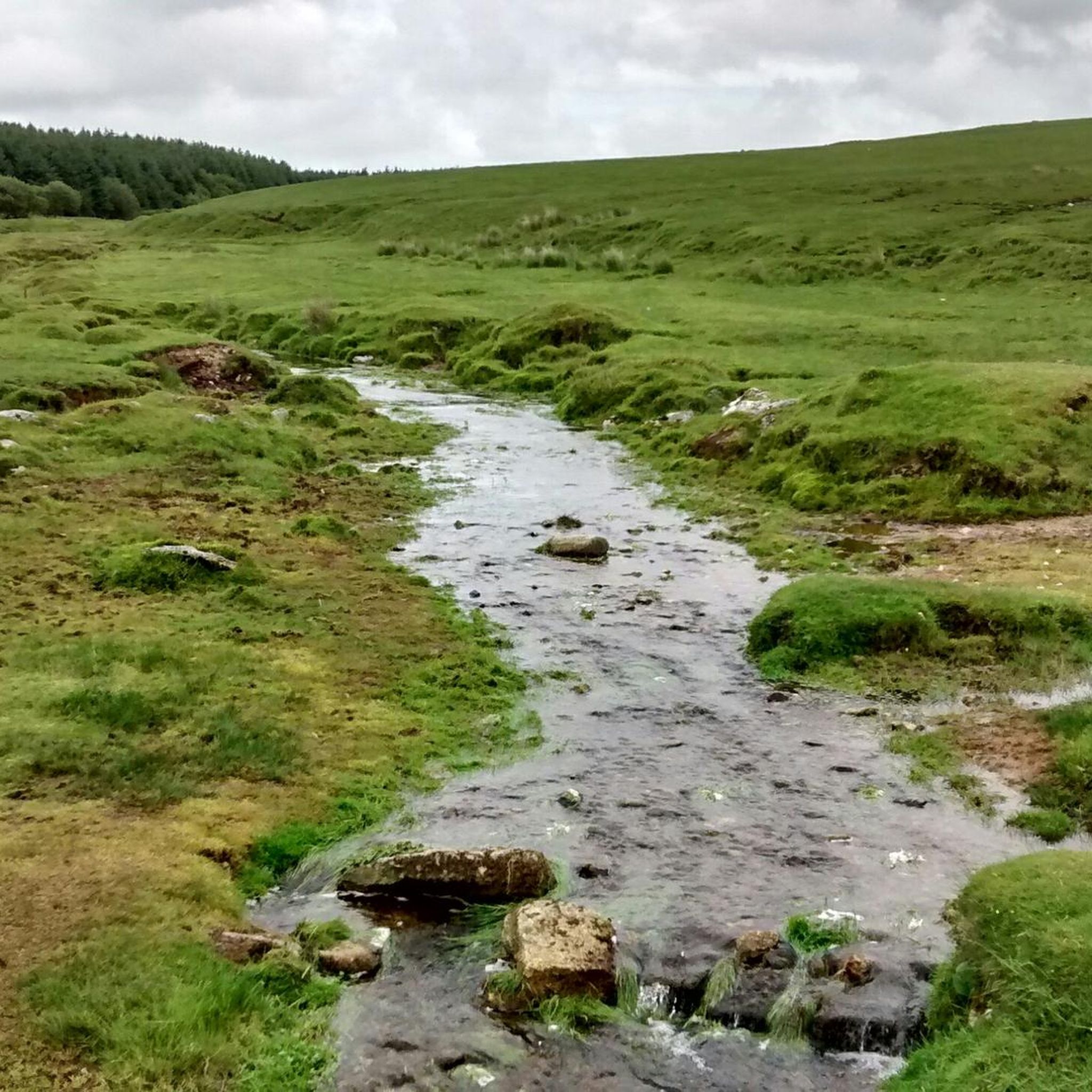
Bridge over the River Valency. The path is easy to walk, another typical river valley.
0
0

Climbing up the Cambeak is worth it. There is an alternative path avoiding the Peak that is less steap.
0
0

If you walk a short while on the South Coast Path from Boscastle Harbour to the north, you come to Pentargon Cliff and beautiful Pentargon Waterfall. The waterfall is best sighted just before getting there when you are reaching a stone stile about five minutes before. Allow 3-4 hours for the walk and to have a nice visit.
1
1
The South West Coast Path (SWCP) is a 630-mile (1,014-km) coastal hiking path that goes around the entire South West peninsula of England. It starts in Minehead in Somerset and finishes in Pool in Dorset. It is a very hard continuous hike, so best done in achievable chunks, but it is a stunning endeavour with world-class views.
1
0

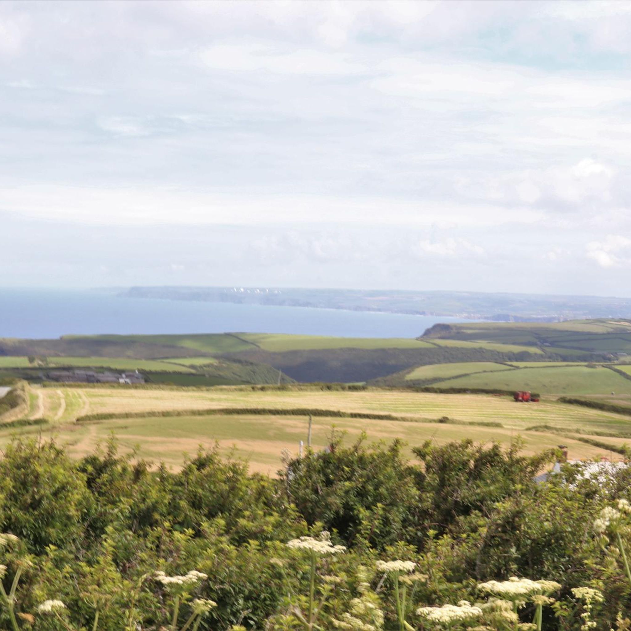
A little sheltered against the strongest winds this bench is a perfect resting spot - and the views are stunning!
0
0
Frequently Asked Questions
How many hiking trails are available around Treneglos?
There are over 35 hiking routes available around Treneglos, offering a diverse range of experiences from easy coastal strolls to more challenging long-distance paths. These trails are highly rated by the komoot community, with an average score of 4.7 stars.
Are there easy hiking options for beginners or casual walkers?
Yes, Treneglos offers several easy hiking options. For example, the Rusey Cliff – High Cliff loop from St. Juliot is an easy 4.5 km route. Another accessible choice is the Rusey Cliff – Buckator loop from River Valency, which is also around 4.5 km and considered easy.
What kind of terrain can I expect on hikes around Treneglos?
Hikes around Treneglos primarily feature dramatic clifftop walks, rugged and unspoiled coastline, and rural green landscapes. You'll encounter sweeping sandy beaches, hidden coves, and sometimes wild moors, all within the Cornwall Area of Outstanding Natural Beauty.
Are there any circular hiking routes in Treneglos?
Yes, many routes around Treneglos are designed as loops. Examples include the challenging Pentargon Cliff and Waterfall – Rocky Valley loop from St. Juliot, the scenic High Cliff – View of Cambeak Headland loop from River Valency, and the moderate Boscastle Harbour – Cobweb Car Park loop from River Valency.
Are there any waterfalls to see on hikes near Treneglos?
Yes, you can discover a waterfall on the challenging Pentargon Cliff and Waterfall – Rocky Valley loop from St. Juliot. This route features dramatic coastal cliffs and the notable Pentargon Waterfall.
What natural landmarks or viewpoints can I discover while hiking?
The area around Treneglos offers stunning natural landmarks and viewpoints. You can enjoy vistas of Dinas Head and The Quies, prominent features of the coastline. Other notable spots include Brown Willy Summit, Rough Tor, Willapark Lookout and Rocky Valley, and High Cliff, all offering expansive coastal views.
Can I combine hiking with beach visits in Treneglos?
Absolutely. Treneglos is just a short stroll from Constantine Bay Beach, known for its pale sands. The wider area provides access to numerous other beautiful beaches like Boobys Bay, Treyarnon, Harlyn, and Porthcothan, making it easy to integrate beach walks or even water sports into your hiking plans.
Is Treneglos suitable for family-friendly hikes?
Yes, Treneglos offers options suitable for families. While some clifftop paths can be rugged, there are easier, shorter routes and beach walks that are perfect for families. The nearby Camel Trail also provides a flat, recreational route suitable for walkers and cyclists of all ages.
Are dogs allowed on the hiking trails around Treneglos?
Many of the coastal paths and rural trails around Treneglos are dog-friendly, allowing you to explore with your canine companion. However, it's always advisable to keep dogs on a lead, especially near cliff edges or livestock, and to check local signage for any specific restrictions on beaches or nature reserves.
What is the best time of year to go hiking in Treneglos?
The north Cornish coast is beautiful year-round, but spring and autumn often offer the most pleasant hiking conditions with milder weather and fewer crowds. Summer is popular for combining hikes with beach activities, while winter can provide dramatic, wild coastal scenery, though paths may be muddier and weather more unpredictable.
Are there options for parking near the trailheads?
Parking is generally available at popular starting points for trails, particularly in villages like Boscastle or near major beaches. For specific routes, it's recommended to check the route details on komoot for information on designated parking areas or nearby car parks.
Are there any cafes or pubs along the hiking routes?
Yes, you'll find cafes and pubs in the villages and towns along the coast, such as Boscastle, which is featured in the Boscastle Harbour – Cobweb Car Park loop from River Valency. These establishments offer opportunities for refreshments and meals during or after your hike.
How long do hikes typically take around Treneglos?
Hike durations vary significantly. Shorter, easy routes like the Boscastle Harbour – Cobweb Car Park loop from River Valency can take around 2 hours. More challenging and longer trails, such as the Pentargon Cliff and Waterfall – Rocky Valley loop from St. Juliot, can take nearly 8 hours to complete.
What do other hikers enjoy most about the trails in Treneglos?
The trails in Treneglos are highly rated by the komoot community, with an average score of 4.7 stars from nearly 500 reviews. Hikers frequently praise the dramatic coastal scenery, the rugged clifftop walks, and the expansive views of the north Cornish coast. The variety of terrain, from sandy beaches to green landscapes, is also a highlight.
Most popular attractions around Treneglos

Get inspired with the komoot mobile app


Explore more
Browse the best Hikes in other regions.
