The best walks and hikes around Burgkirchen
4.4
(957)
5,665
hikers
12
hikes
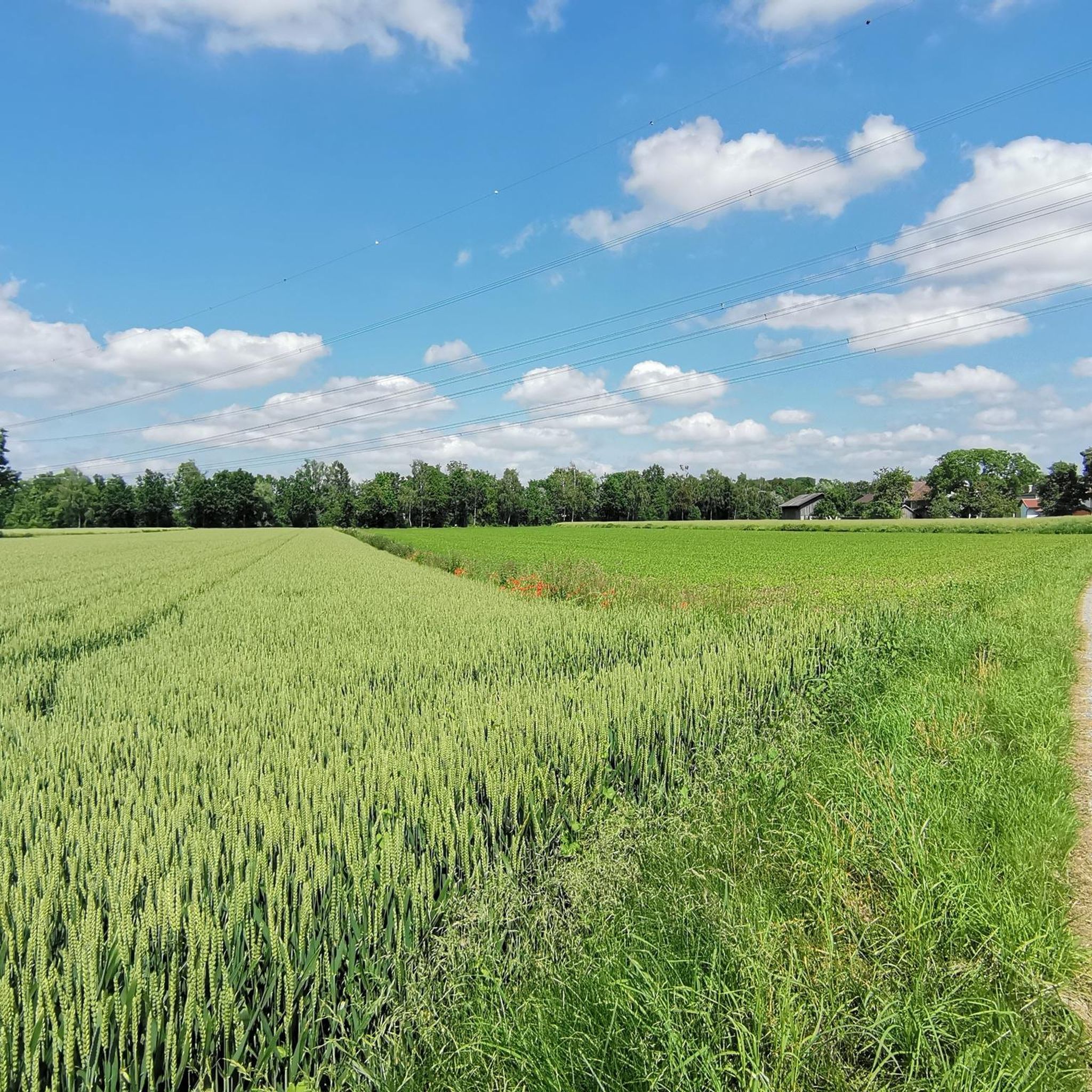
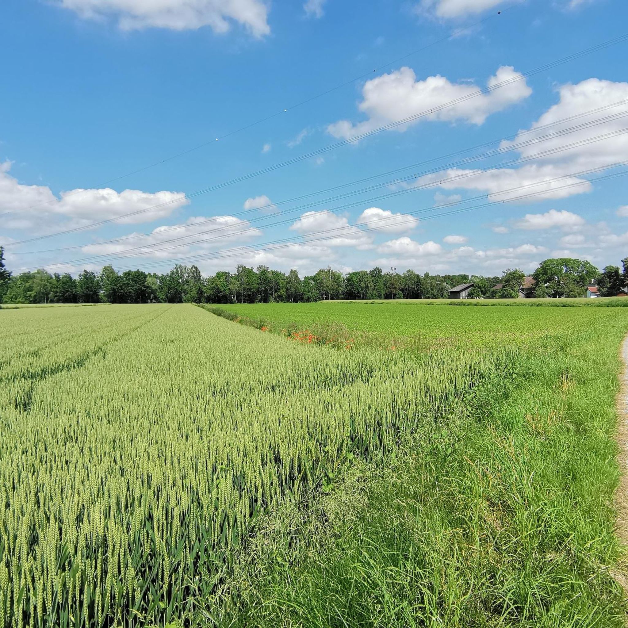
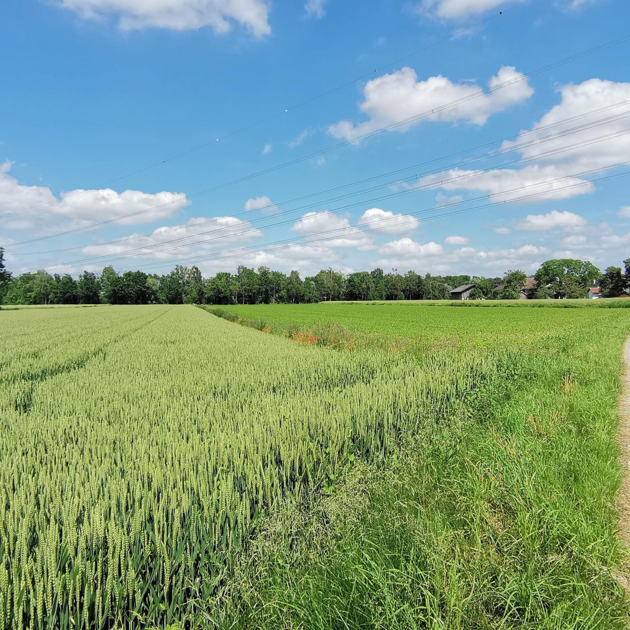
Hiking around Burgkirchen, located in southeast Bavaria, offers diverse natural features. The region is characterized by rolling hills, verdant meadows, and the meandering Alz river, which provides peaceful paths along its banks. Nature reserves like "Altwasser bei Hirten" and "Astner Moos" feature well-signposted trails with unique flora and fauna. The landscape includes accessible paths and more demanding routes.
Best hiking trails around Burgkirchen
- The most popular hiking route is Wayside Crucifix – View of the Mattig River loop from Burgkirchen…
Last updated: July 1, 2026
5.0
(1)
9
hikers
Easy hike. Great for any fitness level. Easily-accessible paths. Suitable for all skill levels.
11
hikers
Easy hike. Great for any fitness level. Easily-accessible paths. Suitable for all skill levels.

Sign up for free
8
hikers
3.53km
00:54
10m
10m
Easy hike. Great for any fitness level. Easily-accessible paths. Suitable for all skill levels.
6
hikers
6.85km
01:44
10m
10m
Easy hike. Great for any fitness level. Easily-accessible paths. Suitable for all skill levels.
4
hikers
7.66km
01:58
30m
30m
Easy hike. Great for any fitness level. Easily-accessible paths. Suitable for all skill levels.
Get access to more routes and recommendations from other explorers.
Sign up for free
Already have an account?
Our route recommendations are based on thousands of hikes, rides, and runs completed by other people on komoot.
Start today with a free account
Your next adventure awaits.
Login or Signup
Tips from the Community

Easy tour suitable for beginners, Scenically beautiful on many cycle paths and side roads
0
0

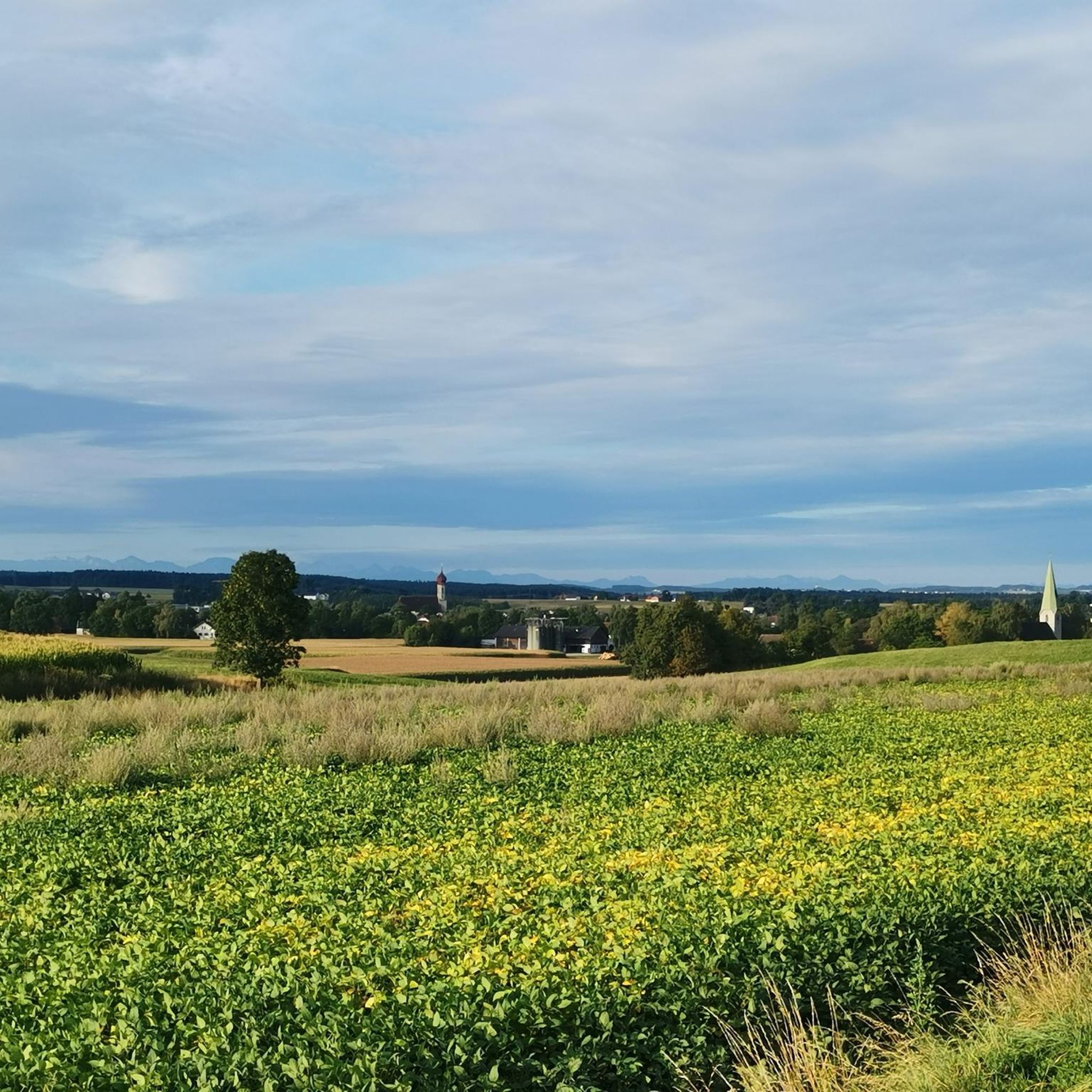
Here you cross the Mattig on a bridge and have a great view of the river with its crystal clear water.
0
0
Frequently Asked Questions
What types of hiking trails can I find around Burgkirchen?
Burgkirchen offers a diverse network of trails, primarily easy routes suitable for most fitness levels. Out of over a dozen available routes, 10 are classified as easy, and 2 are moderate. You'll find paths along the meandering Alz river, through verdant meadows, and into nature reserves. For example, the Wayside Crucifix – View of the Mattig River loop from Burgkirchen is an easy 7.6 km route offering scenic views.
Are there any circular hiking routes in Burgkirchen?
Yes, Burgkirchen features several enjoyable circular routes. A popular option is the Hiking loop from Burgkirchen, a 3.5 km trail that takes you through the local countryside. Another easy circular path is the Wayside Crucifix loop from Burgkirchen, spanning 6.8 km.
What natural features or landmarks can I expect to see on hikes near Burgkirchen?
The region is rich in natural beauty, including the meandering Alz river and the tranquil Alztal valley. You can explore the "Altwasser bei Hirten" Nature Reserve, known for its unique flora and fauna, or the Astner Moos Nature Reserve. Hikers can also discover highlights like the Eglsee Bird-Watching Tower or the Salzach Estuary Bird Sanctuary. Additionally, the Wöhrsee Bathing Lake offers pleasant walks along its shores.
Are there family-friendly hiking options in Burgkirchen?
Absolutely. Burgkirchen offers many easy, accessible paths suitable for families with children. The region has a Children's Adventure Trail designed for younger explorers, and the Solar System and History Trail provides an educational experience. Many of the easy routes, such as the 2.7 km View of the Mattig River – Mauerkirchen Outdoor Pool loop from Mauerkirchen, are perfect for a family outing.
What is the best time of year to go hiking in Burgkirchen?
Burgkirchen is beautiful in both spring and autumn. Spring transforms the meadows with vibrant blossoms, while autumn paints the surrounding forests in warm red hues, making both seasons ideal for hiking. The diverse landscape offers scenic views year-round, but these seasons provide particularly picturesque backdrops.
Are there any historical sites or castles to visit near the hiking trails?
Yes, Burgkirchen is an excellent base for exploring nearby historical attractions. You can visit Frauenstein Castle or Hagenau Castle. The region is also close to Tüßling Castle, an 18th-century baroque palace with beautiful gardens, and various churches like St. Nicholas and the Maria Brunn pilgrimage chapel, which can complement your hiking trip.
What do other hikers say about the trails in Burgkirchen?
The hiking routes in Burgkirchen are highly rated by the komoot community, with an average score of 4.4 stars from over 800 reviews. More than 5000 hikers have used komoot to explore the varied terrain, often praising the peaceful paths along the Alz river and the well-maintained trails within the nature reserves.
Is there parking available at the trailheads in Burgkirchen?
While specific parking details for each trailhead are best checked on individual route pages, Burgkirchen generally offers convenient parking facilities for hikers. Many routes, especially those starting from the town or popular recreational areas, have designated parking nearby to ensure easy access to the trails.
Can I reach hiking trails in Burgkirchen using public transport?
Burgkirchen is well-connected within southeast Bavaria, and public transport options are available to reach the municipality. For specific trailheads, it's advisable to check local bus schedules or regional transport links, as some routes might be more accessible by car, while others are within walking distance of public transport stops in and around Burgkirchen.
Are there any longer or more challenging hikes in the area?
While most trails in Burgkirchen are classified as easy, there are a couple of moderate routes for those seeking a bit more challenge. For example, the Hiking loop from Holzgassen is an easy 7.6 km route, but its length offers a longer excursion. The region's varied terrain includes options that require good fitness and sure-footedness, particularly if you venture into the more undulating parts of the landscape.
What kind of wildlife can I spot while hiking in Burgkirchen?
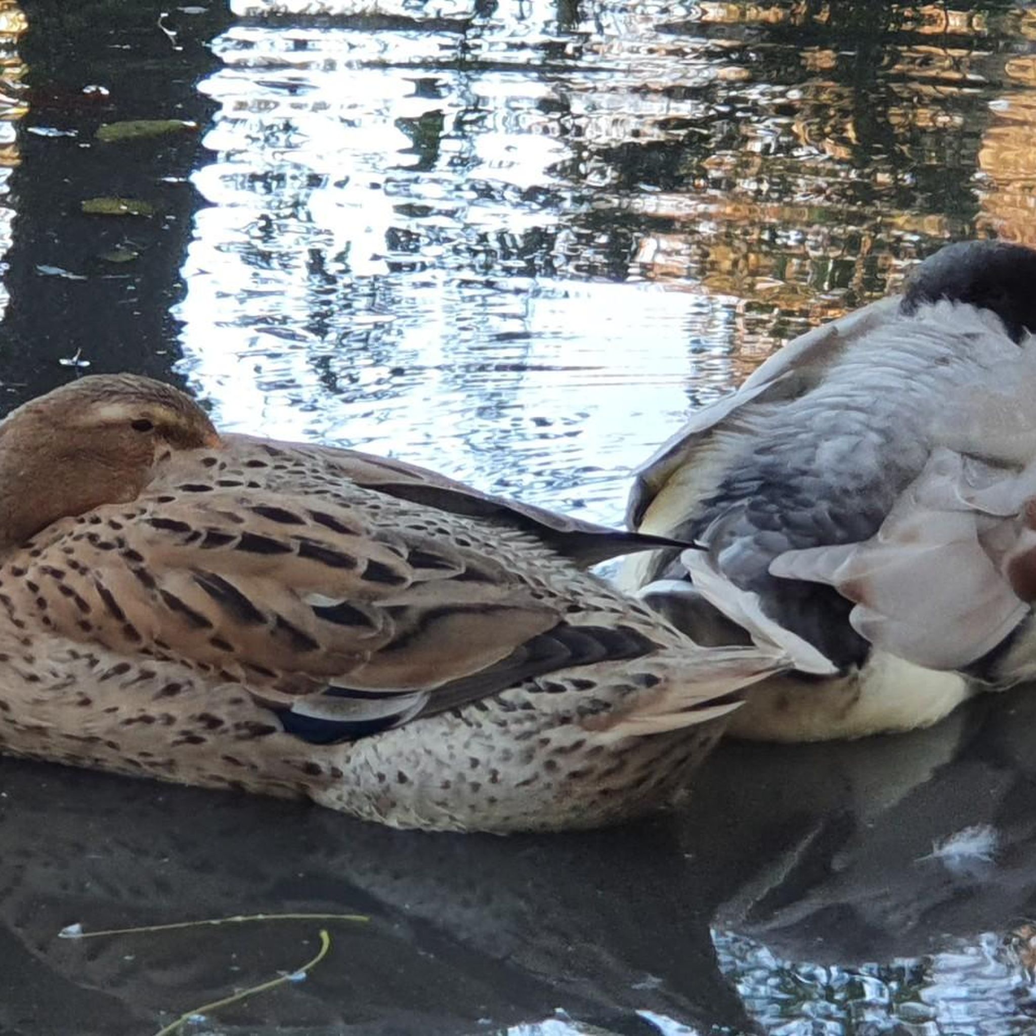
The nature reserves like "Altwasser bei Hirten" and "Astner Moos" are excellent for wildlife spotting. These areas are known for their unique flora and fauna. Along the Alz river and in the Salzachau, you might observe various bird species, especially near the Salzach Estuary Bird Sanctuary and the Eglsee Bird-Watching Tower. The tranquil environment provides opportunities to encounter local wildlife in their natural habitats.
Most popular routes around Burgkirchen
Most popular attractions around Burgkirchen

Get inspired with the komoot mobile app


Explore more
Browse the best Hikes in other regions.
