The best walks and hikes around Burgjoß
4.6
(5885)
18,704
hikers
952
hikes
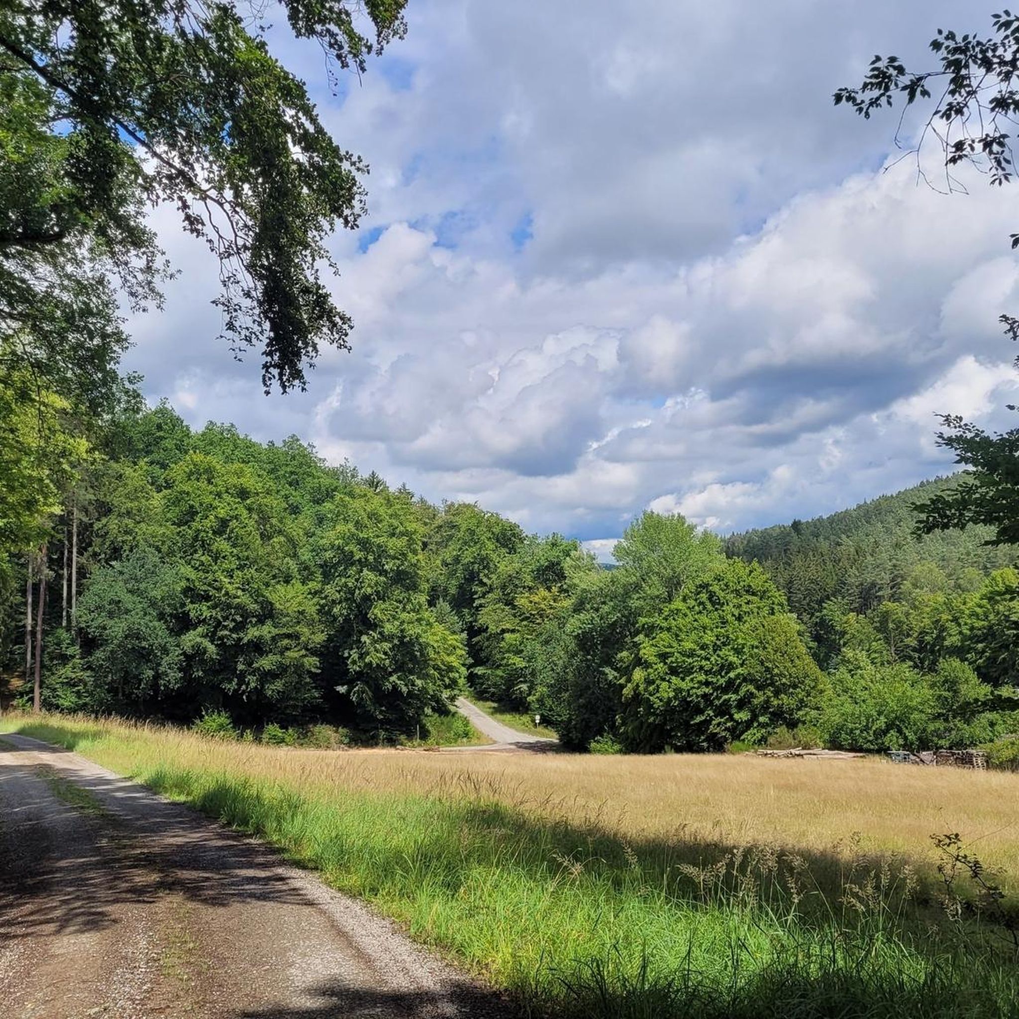
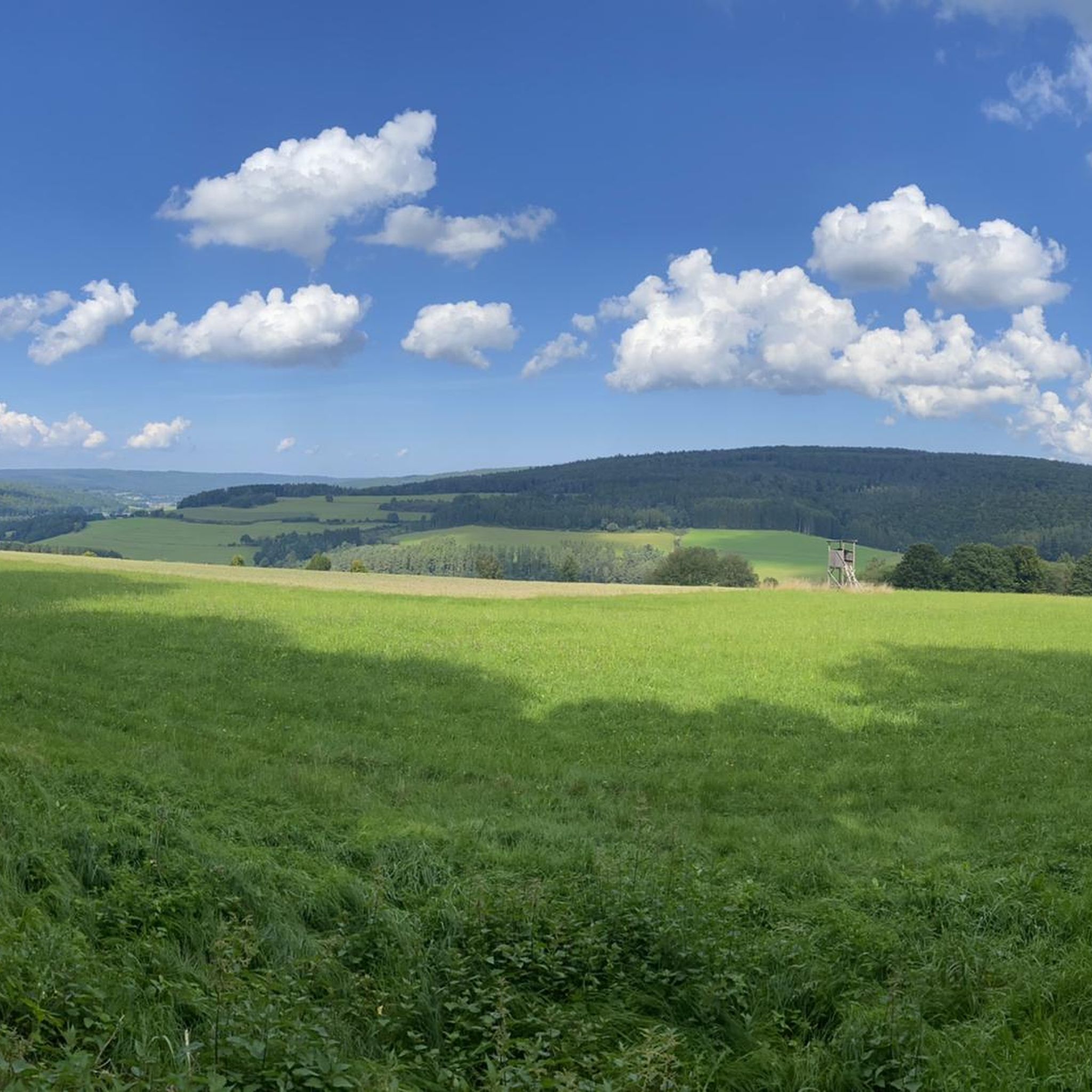
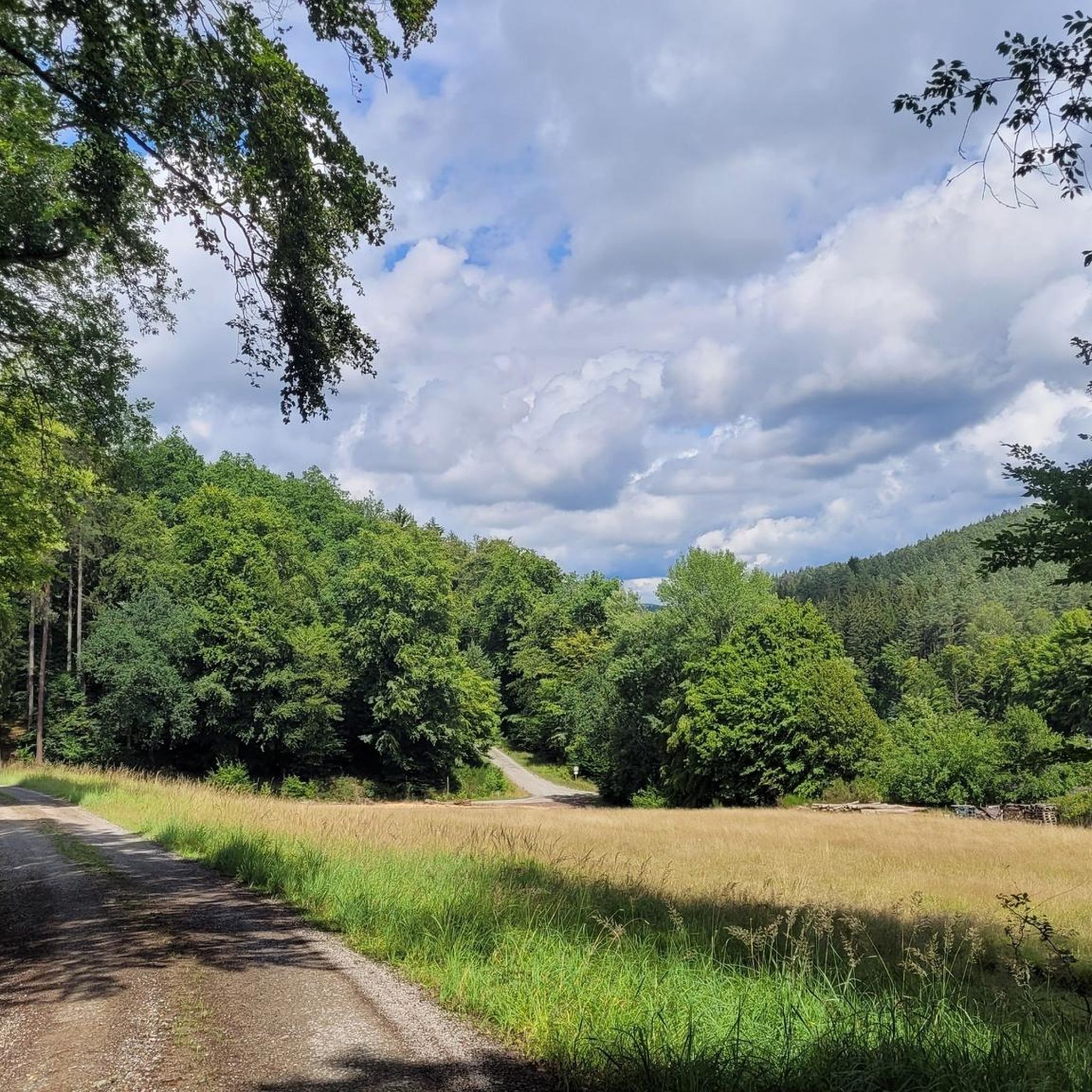
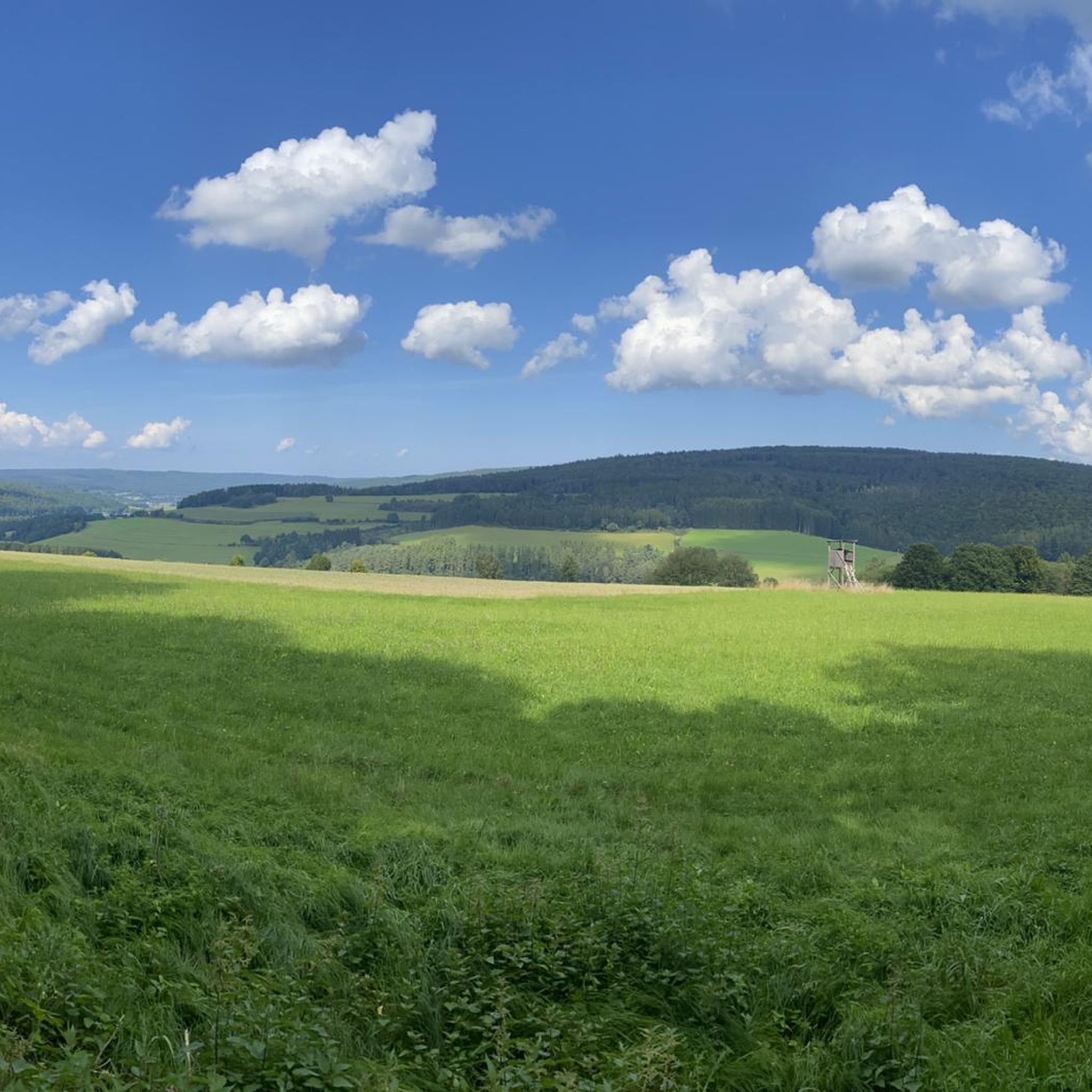
Hiking around Burgjoß offers diverse landscapes within the Spessart Nature Reserve in Hessen, Germany. The region is characterized by the Spessart mountains, featuring one of Germany's largest contiguous areas of mixed forest. Scenery often alternates between serene woodlands and expansive views of green valleys, with the Jossa river winding through the local landscape. This area provides well-marked hiking trails suitable for various fitness levels.
Best hiking trails around Burgjoß
- The most popular hiking route is Winding Path along the Jossa…
Last updated: October 4, 2026
5.0
(1)
8
hikers
Moderate hike. Good fitness required. Easily-accessible paths. Suitable for all skill levels.
1
hikers
6.93km
01:59
170m
170m
Easy hike. Great for any fitness level. Easily-accessible paths. Suitable for all skill levels.

5.0
(11)
8
hikers
Easy hike. Great for any fitness level. Easily-accessible paths. Suitable for all skill levels.
6
hikers
8.04km
02:24
270m
270m
Moderate hike. Good fitness required. Easily-accessible paths. Suitable for all skill levels.
4.5
(2)
3
hikers
8.59km
02:27
200m
200m
Moderate hike. Good fitness required. Easily-accessible paths. Suitable for all skill levels.
Get access to more routes and recommendations from other explorers.
Already have an account?
Our route recommendations are based on thousands of hikes, rides, and runs completed by other people on komoot.
Start today with a free account
Your next adventure awaits.

Tips from the Community

Two tables with two benches each in good condition. The back table has less view, but more shade.
1
0

A beautiful path leads here through a small piece of juniper heathland.
0
0

Unfortunately, the Wacholderheide is becoming increasingly overgrown here.
0
0

Jossgrund Loop The slopes of the Jossa Valley, which extend up to higher elevations, repeatedly treat hikers to expansive views on this tour. The starting point is directly at the former moated castle with its mighty walls in Burgjoss. You'll experience the meandering Jossa River, beautiful forest edges, and idyllic meadow valleys. A beautiful trail with great variety, thanks to the frequent changes between forest and open countryside. See: https://www.wanderinstitut.de/premiumwege/hessen/jossgrund-runde/
1
0
Beautiful view on the Jossgrund premium hiking trail.
1
0
Great view with a bench that invites you to linger.
1
0
There is a bench with a cross here.
1
0
Here you can rest with a beautiful view of the Jossa River. A bench, table, and trash can are available. You can walk right down to the water. The Jossa is a 32-kilometer-long river in the Spessart region, flowing in the Main-Kinzig district of southern Hesse. It rises in the Lettgenbrunn district of Jossgrund and flows into the middle course of the Sinn River from the right near the Jossa district of the municipality of Sinntal. It is a fine-grained, silicate-rich low mountain stream. See: https://de.m.wikipedia.org/wiki/Jossa_(Sinn)
1
0
Frequently Asked Questions
How many hiking trails are available around Burgjoß?
Burgjoß offers a vast network of nearly 1000 hiking trails within the Spessart Nature Reserve. This includes over 500 easy routes, 444 moderate trails, and 30 more challenging options, ensuring there's something for every fitness level.
What kind of terrain can I expect on hikes in Burgjoß?
The terrain around Burgjoß is characterized by the Spessart mountains, featuring one of Germany's largest contiguous areas of mixed forest. You'll experience serene woodlands, expansive views of green valleys, and paths winding along the Jossa river. The trails are generally well-marked and maintained, offering a diverse and engaging landscape.
Are there easy hiking trails suitable for beginners or families in Burgjoß?
Yes, Burgjoß is very welcoming for beginners and families, with over 500 easy routes available. A great option for a relaxed outing is the Bench With a View of Oberndorf – In the hollow loop from Oberndorf, which is an easy 5.7 km trail. Additionally, the Burgwiesenpark Burgjoß offers playgrounds, a Kneipp basin, and mini-golf, making it an ideal starting point for family-friendly walks.
What natural features or landmarks can I discover while hiking near Burgjoß?
Hiking around Burgjoß allows you to explore several interesting natural features and historical landmarks. You can visit the Wiesbüttmoor Nature Reserve, enjoy views of the Kinzig Reservoir, or discover the historical Stone of the Saints and the Three Boundary Stones, which mark ancient territorial borders. The region's dense mixed forests and the meandering Jossa river are also prominent natural highlights.
Are there any circular hiking routes in Burgjoß?
Many of the trails around Burgjoß are designed as circular routes, allowing you to start and end at the same point. For example, the Winding Path along the Jossa – Picnic area along the Jossa River loop from St. Georgs-Hof is a popular moderate circular trail that follows the Jossa river.
What do other hikers enjoy most about hiking in Burgjoß?
The hiking experiences in Burgjoß are highly rated by the komoot community, with an average score of 4.6 stars from over 5,200 reviews. Hikers often praise the quiet woodlands, the diverse landscapes alternating between forests and green valleys, and the well-marked paths that make navigation easy. The tranquil environment, often punctuated only by birdsong, is a frequently mentioned highlight.
Can I find places to eat or drink along the hiking trails in Burgjoß?
While specific cafes directly on every trail might be limited, the region offers options. The 'Waldesruh Beer Garden' is mentioned as a feature on the Waldesruh Beer Garden – View of Emmerichsthal loop from Emmerichsthal route, providing a spot for refreshments. Many villages and towns in the Spessart region also offer traditional inns and restaurants.
Is Burgjoß a good destination for wildlife spotting?
As part of the Spessart Nature Reserve, one of Germany's largest contiguous mixed forests, Burgjoß offers opportunities for wildlife spotting. The dense woodlands and tranquil valleys provide habitats for various animal species. Keep an eye out for deer, wild boar, and a wide array of birdlife, especially in the quieter parts of the trails.
Are there any trails with significant viewpoints or panoramic vistas?
Yes, the region is known for its scenic views. The 'Panoramic View of Jossgrund' is a notable feature, and routes like the Waldesruh Beer Garden – View of Emmerichsthal loop from Emmerichsthal offer pleasant vistas over the surrounding landscape, including the village of Emmerichsthal.
What is the best time of year to go hiking in Burgjoß?
Burgjoß offers enjoyable hiking experiences throughout much of the year. Spring brings blooming nature, while summer provides lush green forests. Autumn is particularly beautiful with vibrant fall foliage. Even winter hiking can be appealing, offering a serene and quiet experience in the snow-covered Spessart forests, though some trails might require appropriate gear.
Are there any historical sites or cultural points of interest along the trails?
Beyond natural beauty, Burgjoß and the Spessart region have a rich cultural and historical background. You can find historical markers like the Stone of the Saints, steeped in local legend, and the Three Boundary Stones, which signify a historical meeting point of different territories. The entire Spessart region also inspired the Brothers Grimm, adding a touch of folklore to your hikes.
How can I get to the trailheads in Burgjoß using public transport?
While specific public transport connections to every trailhead can vary, Burgjoß is generally accessible within the Spessart region. It's advisable to check local bus schedules for connections to Burgjoß and surrounding villages like Emmerichsthal or Oberndorf, which serve as common starting points for many routes. For detailed planning, local transport websites are the best resource.
Most popular attractions around Burgjoß

Get inspired with the komoot mobile app


Explore more
Browse the best Hikes in other regions.
