The best running trails around Oxenton
4.1
(143)
10,511
runners
500
runs
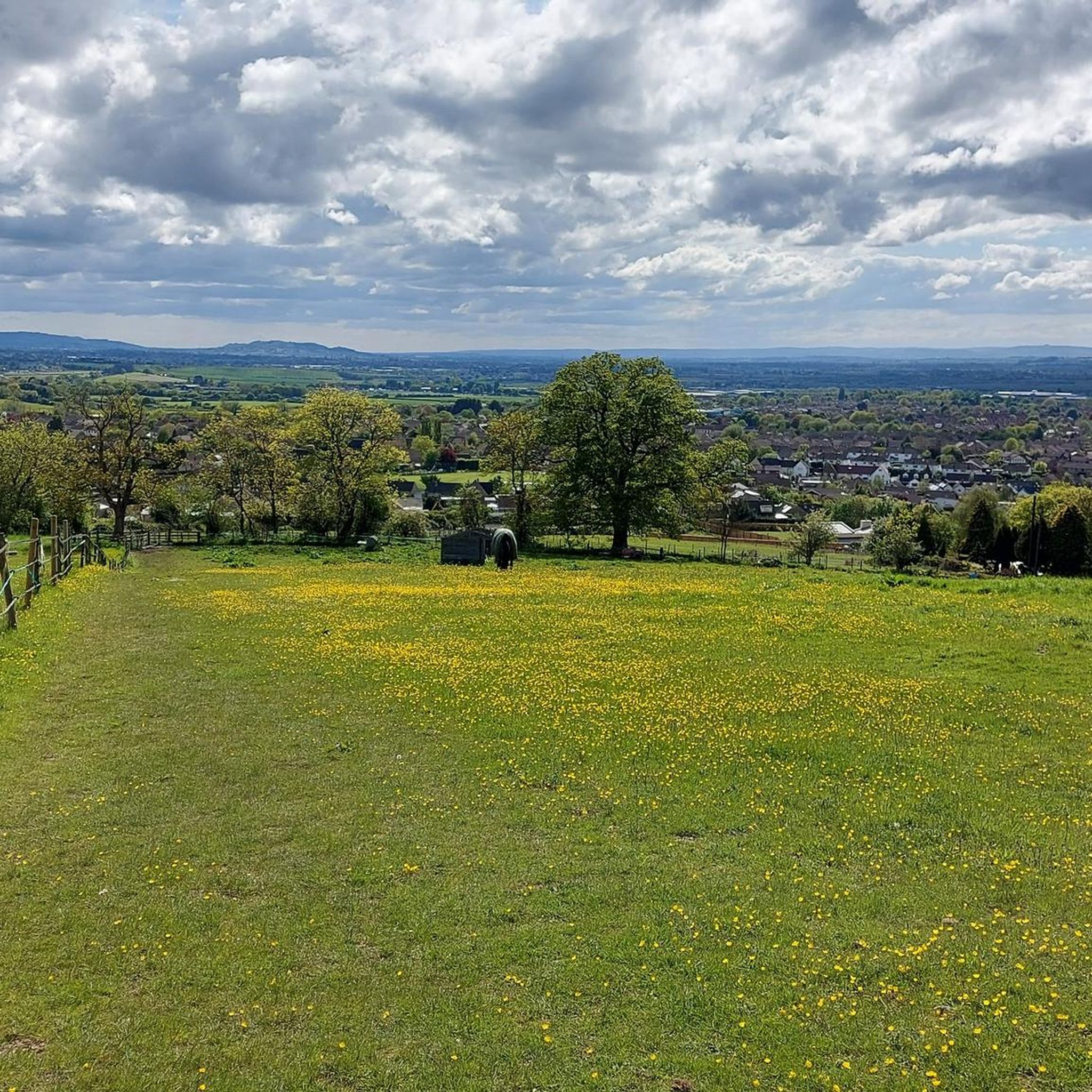
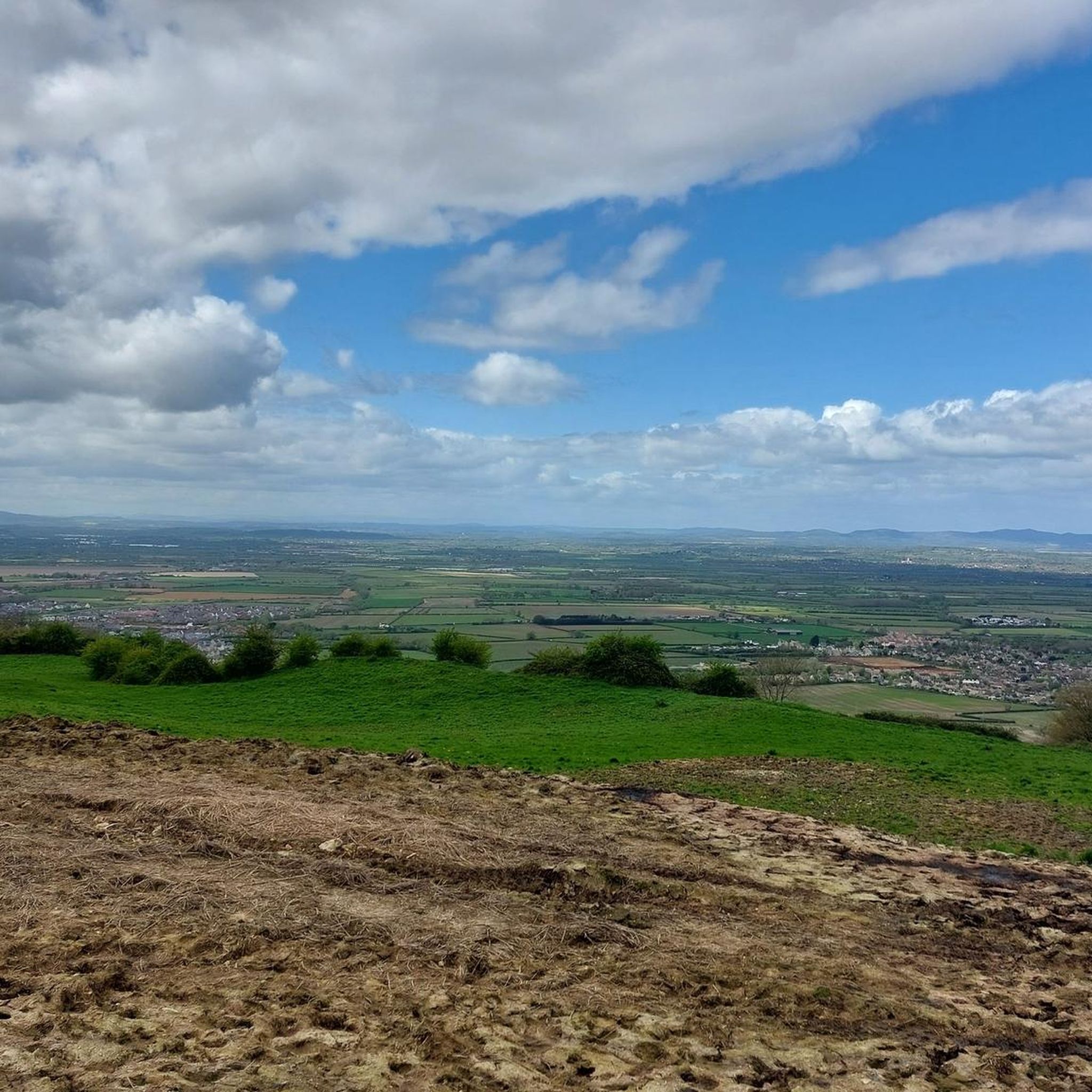
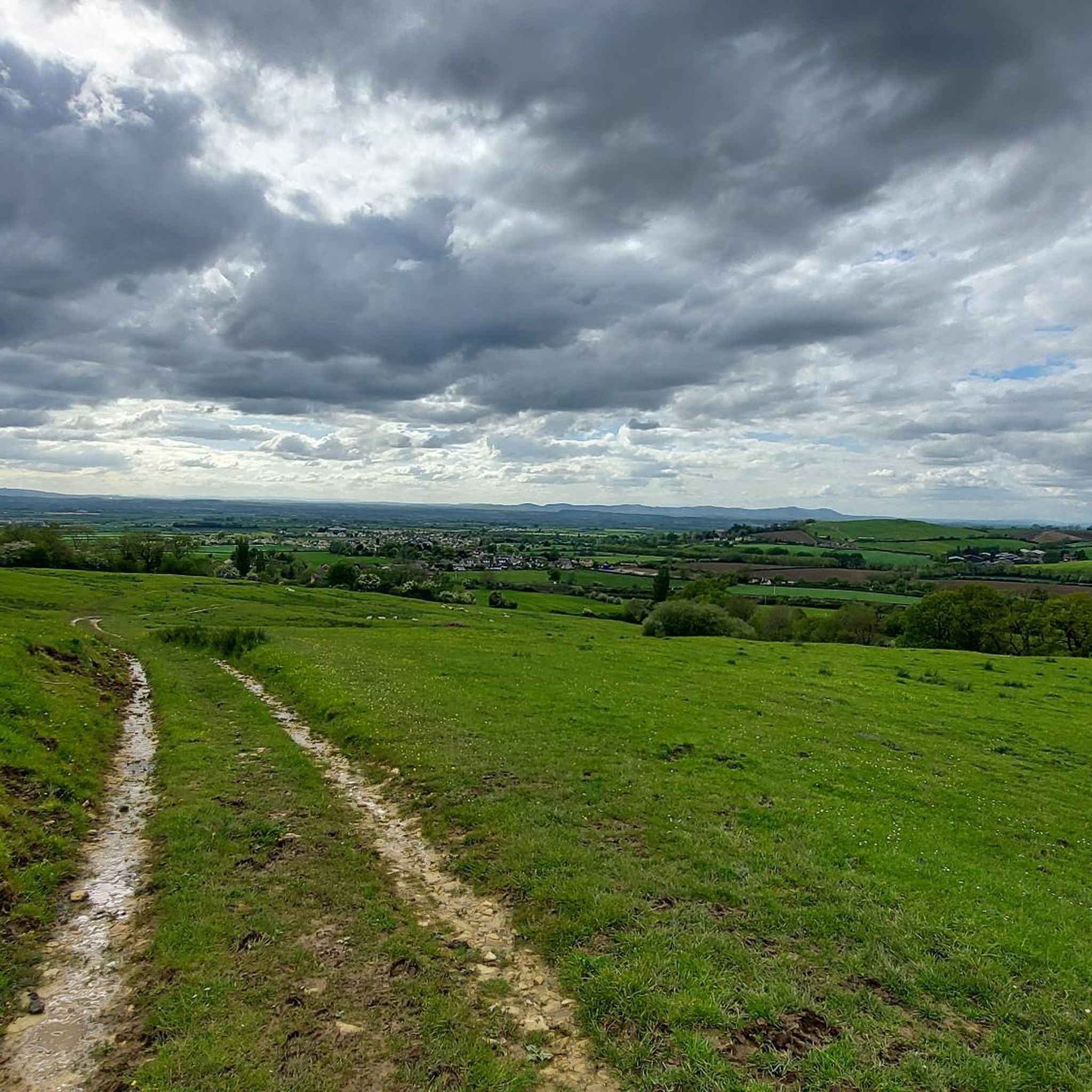
Jogging around Oxenton offers diverse terrain within the northern Cotswolds, characterized by rolling hills, pastures, and woodlands. The region features Oxenton Hill, a prominent natural landmark providing challenging ascents and rewarding views. Lower-lying areas include the Tirle Brook, adding varied scenery to the local landscape. This mix of elevations and natural elements creates a range of running environments suitable for different fitness levels.
Best jogging routes around Oxenton
- The most popular jogging route is Historic Houses of Alstone – St…
Last updated: August 17, 2026
4.5
(2)
62
runners
Moderate run. Good fitness required. Mostly paved surfaces. Suitable for all skill levels.
33
runners
6.56km
00:41
30m
30m
Moderate run. Good fitness required. Mostly paved surfaces. Suitable for all skill levels.

Sign up for free
26
runners
10.2km
01:03
50m
50m
Moderate run. Good fitness required. Mostly paved surfaces. Suitable for all skill levels.
26
runners
12.1km
01:16
70m
70m
Moderate run. Good fitness required. Mostly paved surfaces. Suitable for all skill levels.
13
runners
10.1km
01:04
60m
60m
Moderate run. Good fitness required. Mostly paved surfaces. Suitable for all skill levels.
Get access to more routes and recommendations from other explorers.
Sign up for free
Already have an account?
Our route recommendations are based on thousands of hikes, rides, and runs completed by other people on komoot.
Start today with a free account
Your next adventure awaits.
Login or Signup

Tips from the Community

One Pub - the Shutters. And at least one convenience store.
0
0

Great spot for a quick little boat expedition and the back of the cafe has seats too if you need a dry warm seat
0
0


A pretty little church dating from the 12th century and restored in 18880. Unusually for Gloucestershire, it has a red tiled roof and a timber-framed bell tower. It makes up one of the churches for the Bredon Hill group of churches.
0
0


Great place to stop for coffee and snacks before or after your run. Park Run is on every Saturday at 9am from Pitteville Park so you can head for a post run drink at the Boat House Cafe.
0
0
A nice cafe by the lake with lots of seating outside and some inside. Selling coffee and apparently the ice cream is great in summer!
0
0
Frequently Asked Questions
How many running routes are available around Oxenton?
Oxenton offers a wide variety of running routes, with over 500 trails available. These range from easy strolls to more challenging runs, catering to all fitness levels.
Are there easy running routes suitable for beginners in Oxenton?
Yes, Oxenton has numerous easy running routes perfect for beginners or those looking for a relaxed jog. There are over 70 easy trails, often featuring gentler terrain through pastures and lower-lying areas. For example, the Gotherington Village – The Shutter Pub loop from Bishop's Cleeve is a moderate 6.3-mile route that offers a pleasant village and countryside experience.
What kind of terrain can I expect on jogging trails in Oxenton?
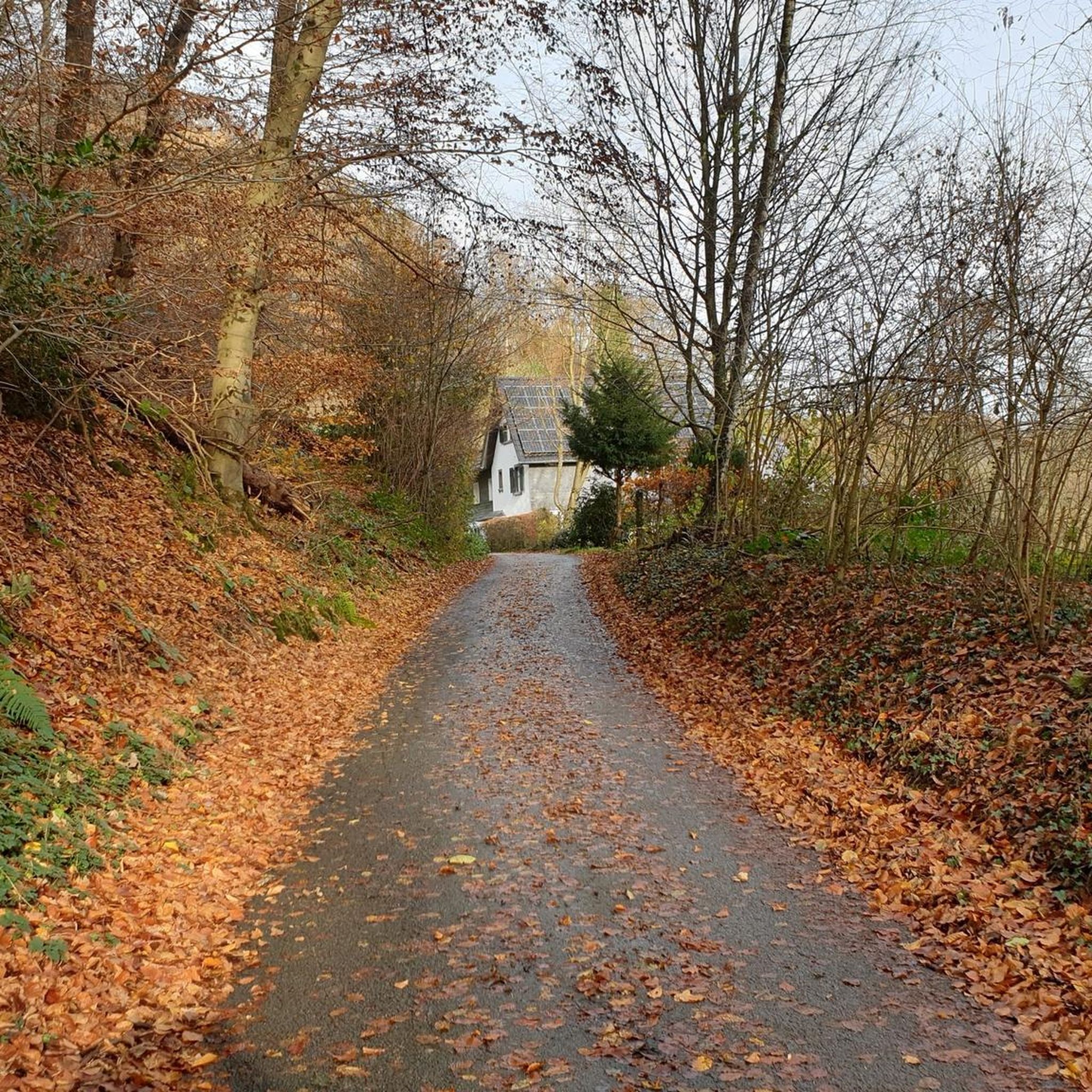
The jogging trails around Oxenton offer diverse terrain. You'll find rolling hills, open pastures, and tranquil woodlands, characteristic of the northern Cotswolds. Oxenton Hill provides challenging ascents with rewarding views, while lower areas feature flatter paths, sometimes alongside the Tirle Brook. This mix allows for both leisurely jogs and more strenuous hill training.
Are there any challenging running routes for experienced runners in Oxenton?
Absolutely. For experienced runners seeking a challenge, Oxenton offers over 90 difficult routes. These often involve significant elevation changes, particularly around Oxenton Hill, which is known for its steep rise. An example is the Pittville Pump Room loop from Bishop's Cleeve, a difficult 10.4-mile path that explores parkland and urban areas.
Can I find circular jogging routes in the Oxenton area?
Yes, the Oxenton area is well-suited for circular jogging routes. Many established walking trails, which can be adapted for running, are circular and connect villages like Teddington, Woolstone, and Gotherington, often incorporating scenic views and varied landscapes. The Historic Houses of Alstone – St Margaret's Church, Alstone loop from Prescott is a popular 6.7-mile circular route offering historical sights and rural paths.
Are the running trails around Oxenton suitable for families?
Many of the easier and moderate trails around Oxenton are suitable for families, especially those looking for a gentle jog or walk. The varied terrain means you can choose routes that avoid steep climbs, focusing on the more tranquil woodlands and pastures. Always check the route difficulty and distance to ensure it matches your family's capabilities.
Are dogs allowed on the jogging paths in Oxenton?
Generally, dogs are welcome on many of the public footpaths and trails around Oxenton. However, as much of the area involves agricultural land, it's crucial to keep dogs on a lead, especially near livestock. Always follow the Countryside Code and respect local signage regarding dog access.
What are some scenic viewpoints or landmarks I can see while running?
Oxenton and its surroundings offer several scenic viewpoints and landmarks. Oxenton Hill itself provides excellent views. Nearby, you can find The Single Beech and Bredon Hill Summit, both offering panoramic vistas. For historical interest, the Iron Age fortification known as "The Knolls" is located at the summit of Oxenton Hill.
Are there any historical sites or attractions near the running routes?
Yes, the region is rich in history. Along your runs, you might encounter sites like Belas Knap Long Barrow, a Neolithic burial mound. The charming Stanton Village, known as one of the most beautiful in the Cotswolds, is also nearby and can be incorporated into longer runs or explored post-jog. Further afield, Sudeley Castle is another significant historical attraction.
What do other runners say about the jogging experience in Oxenton?
The running experience in Oxenton is highly rated by the komoot community, with an average score of 4.1 stars from over 100 reviews. Runners often praise the varied terrain, the peaceful atmosphere of the woodlands and pastures, and the rewarding views from higher elevations like Oxenton Hill. Over 10,000 runners have used komoot to explore the area, highlighting its popularity.
How can I get to the jogging routes in Oxenton by public transport?
While Oxenton itself is a small village, public transport options might be limited directly to the trailheads. It's advisable to check local bus services connecting to larger nearby towns like Bishop's Cleeve or Winchcombe, from which you might be able to access some routes or arrange further transport. Planning your route in advance and checking current timetables is recommended.
Where can I park when visiting the running trails in Oxenton?
Parking availability in Oxenton can vary. For specific trailheads, look for designated car parks in nearby villages or at popular starting points for walks. Some routes may have roadside parking, but always ensure you are parking legally and considerately, especially in rural areas. It's often best to check route details on komoot for specific parking recommendations.
Are there any long-distance running options around Oxenton?
Yes, for those seeking longer runs, the extensive network of trails around Oxenton and the wider Cotswolds allows for combining multiple paths to create longer distances. With over 500 routes, including many moderate and difficult options, you can easily plan runs exceeding 10 miles. For example, the Pittville Pump Room loop from Bishop's Cleeve is a challenging 10.4-mile route.
What is the best time of year to go running in Oxenton?
Oxenton offers beautiful running conditions throughout the year, each season providing a unique experience. Spring brings blooming wildflowers, while autumn showcases vibrant foliage across the Cotswolds hills. Summer is ideal for early morning or late afternoon runs to avoid the heat, and winter offers crisp, clear views, though some paths might be muddy. Always check local weather conditions before heading out.
Most popular attractions around Oxenton

Get inspired with the komoot mobile app


Explore more
Browse the best Running Trails & Routes in other regions.
