The best walks and hikes around Prescott
4.6
(1453)
10,641
hikers
656
hikes
Hiking around Prescott offers diverse terrain, transitioning from high desert scrub to dense pine forests, including Ponderosa pines and oak woodlands. The region is characterized by unique geological formations like the Granite Dells, massive granite boulders around Watson Lake, and extensive pine forests providing shade. Situated within the Bradshaw Mountains at over 5,000 feet elevation, this varied landscape contributes to a wide range of hiking experiences.
Best hiking trails around Prescott
- The most popular hiking route is Thumb Butte Trail…
Last updated: October 22, 2026
4.6
(47)
271
hikers
13.3km
03:44
270m
270m
Embark on the Cleeve Common & Belas Knap loop, a moderate hike that takes you through some of the Cotswolds' most scenic landscapes. This 8.2-mile (13.3 km) route, which typically…
4.6
(47)
244
hikers
10.2km
02:54
230m
230m
Embark on the Cleeve Hill & Breakheart Plantation loop, a moderate hike spanning 6.3 miles (10.2 km) with an elevation gain of 752 feet (229 metres), typically completed in 2…

4.9
(14)
61
hikers
6.10km
01:46
160m
160m
Embark on the Cleeve Hill loop, an easy hike that guides you through the varied landscapes of Cleeve Common. This 3.8-mile (6.1 km) route involves a gentle ascent of 526…
5.0
(2)
30
hikers
20.2km
04:34
430m
430m
Hike the Cotswold Way: Cleeve Hill and Dowdeswell Reservoir Loop for panoramic views from Cleeve Hill and tranquil reservoir scenery.
5.0
(4)
124
hikers
5.54km
01:36
150m
150m
Easy hike. Great for any fitness level. Easily-accessible paths. Suitable for all skill levels.
Get access to more routes and recommendations from other explorers.
Already have an account?
Our route recommendations are based on thousands of hikes, rides, and runs completed by other people on komoot.
Start today with a free account
Your next adventure awaits.
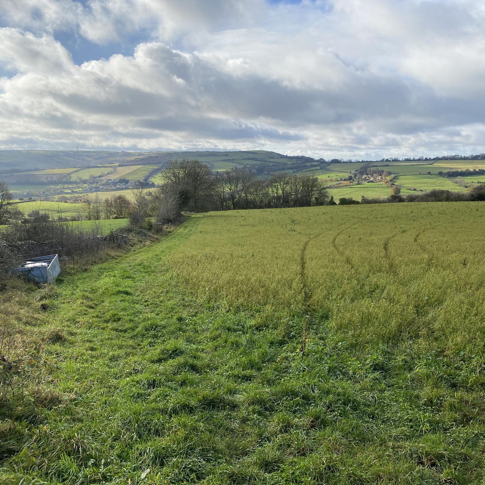
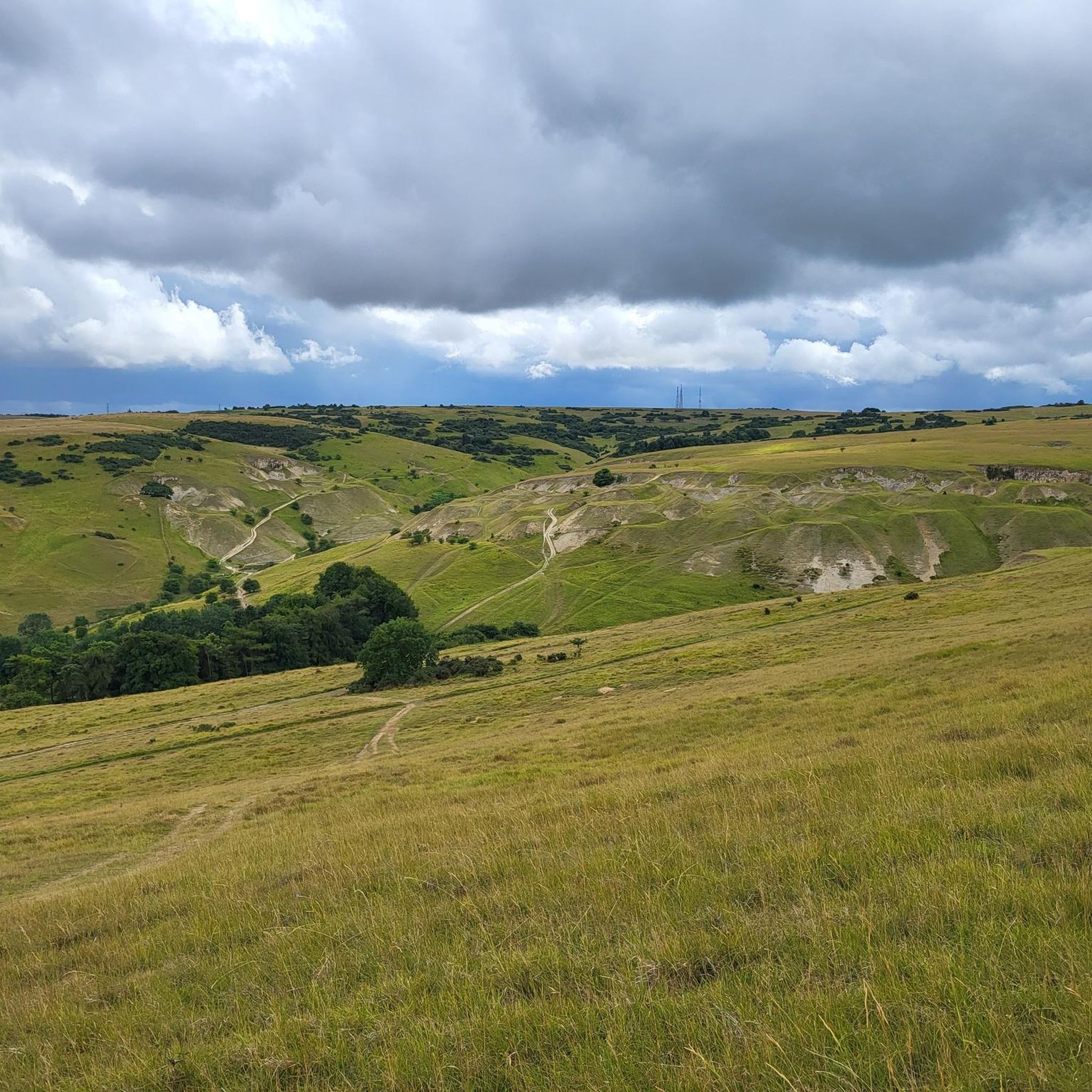
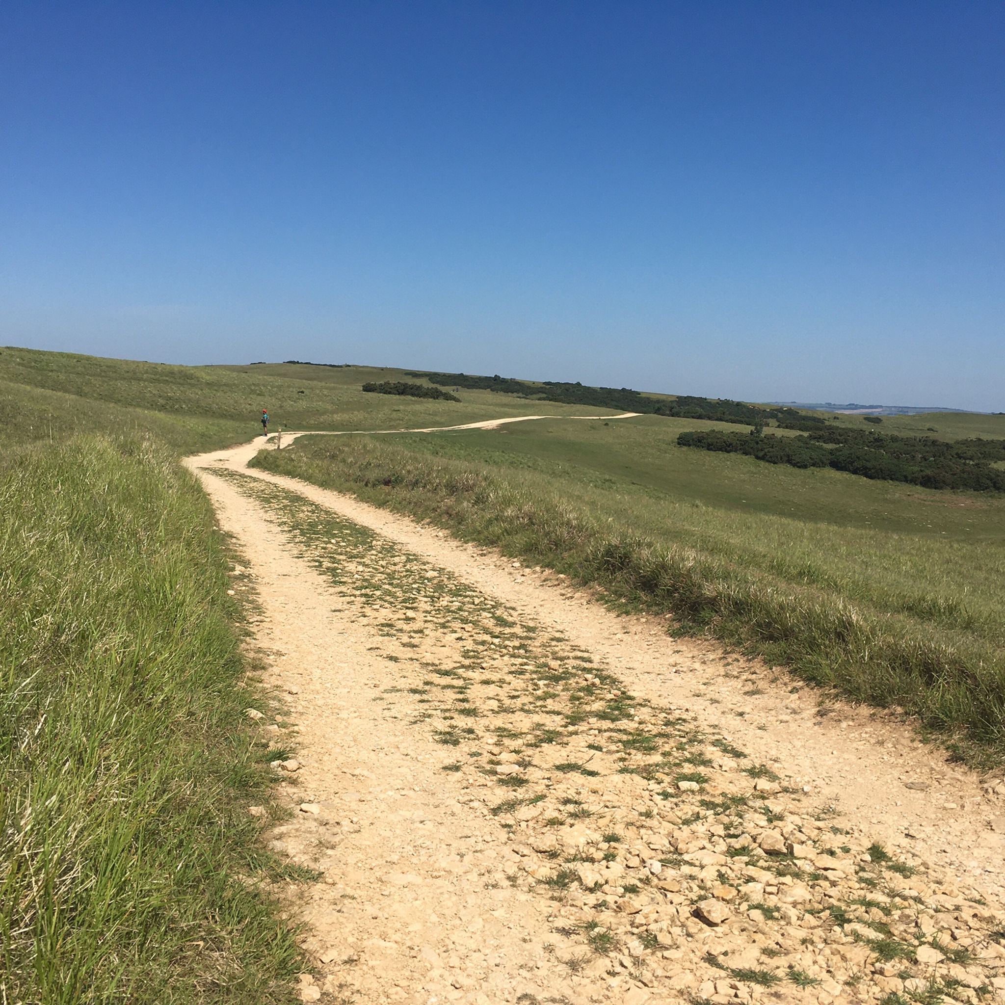
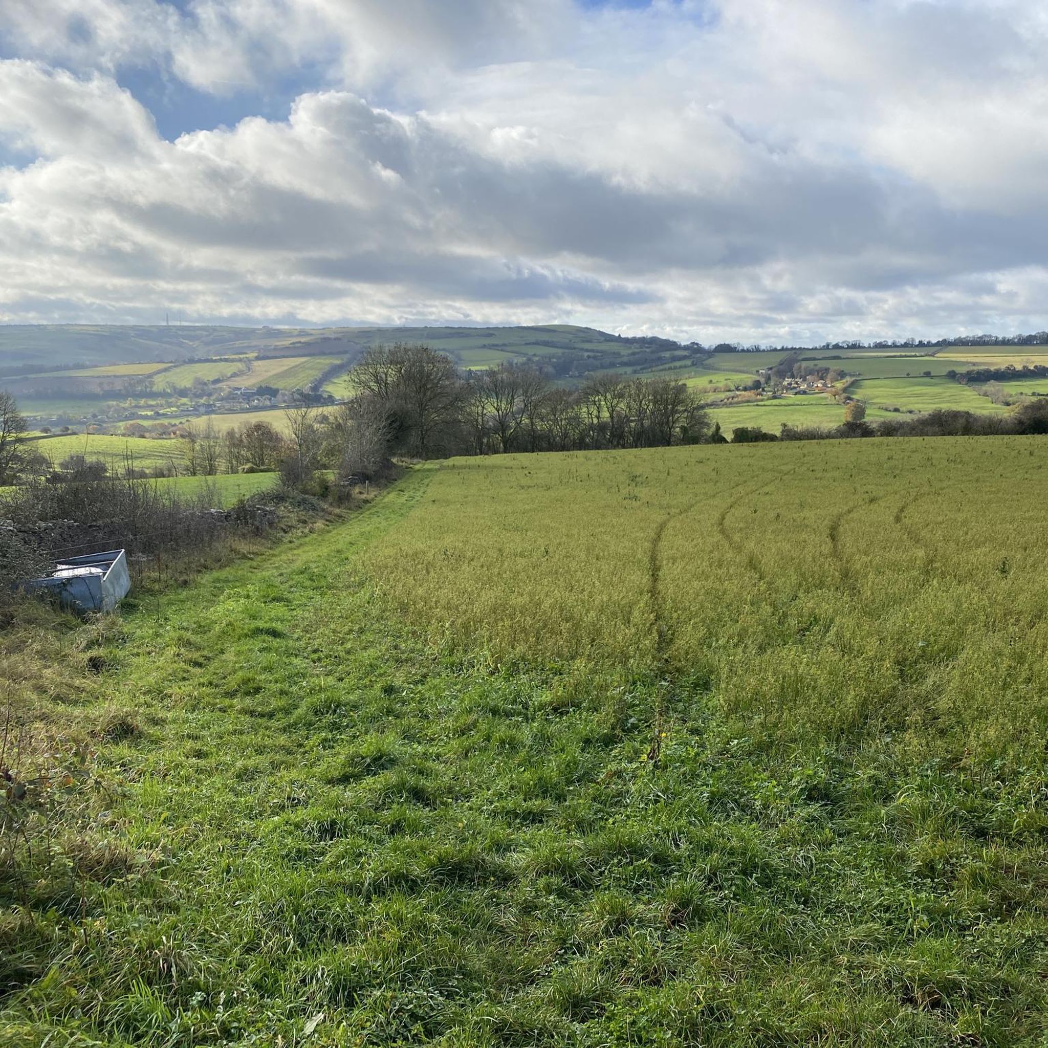
Tips from the Community

A picturesque and shady spot to rest and take in the views.
0
0
The truly expansive view across the Severn Valley to the distant Malvern Hills and beyond.
0
0
The steep descent (or climb!) through Breakheart Plantation is one of the highlights of this section of the Cotswold Way. Some superb trees.
0
0
The rather wonderful Belas Knap, a restored long barrow high on Humblebee How above WInchcombe. Well worth exploring!
0
0

Beech with bench. It is a very nice resting place with a view.
0
0

Added to the collection: komoot.com/de-de/collection/3600632/-naturdenkmaeler-besondere-baeume-und-weitere-schaetze-der-natur
0
0

Take a walk up the steep slope to the bench in the top of the hill. You will not be disappointed !!!
0
0

Frequently Asked Questions
How many hiking trails are available around Prescott?
Prescott offers an extensive network of hiking trails, with over 600 routes documented on komoot. These trails cater to all skill levels, from easy strolls to challenging mountain ascents, allowing you to explore the diverse landscapes of the Bradshaw Mountains.
What are some easy hiking options suitable for beginners or families in Prescott?
For an easy and scenic experience, consider the Cleeve Hill loop, which is 3.8 miles long. The region also features trails like the Lynx Lake loop, known for its peaceful, pine-shaded environment and partially paved sections, making it accessible for various users. The Constellation Loop is another great option for beginners, offering rocky granite outcroppings and lush riparian vegetation over 2.6 miles.
Are there any dog-friendly hiking trails in Prescott?
Many trails in the Prescott area are dog-friendly, but it's always best to check specific trail regulations before heading out. Generally, trails within the Prescott National Forest allow dogs, provided they are on a leash. The Peavine Trail, which connects to Watson Lake, is a popular choice for walking with dogs due to its easy, flat terrain.
What is the best time of year to go hiking in Prescott?
Prescott's mild climate makes it an excellent hiking destination year-round. Spring brings wildflowers and pleasant temperatures, while fall offers comfortable conditions and beautiful foliage. Even in summer, mornings are enjoyable for hiking, and mild winters mean trails are often accessible when other mountain areas are snow-covered. The town's elevation at over 5,000 feet provides a refreshing escape from hotter desert regions.
Are there any circular hiking routes in Prescott?
Yes, Prescott has several excellent circular routes. The iconic Thumb Butte Trail is a 2.5-mile loop offering panoramic views. The Watson Lake Loop is a moderate 4.8-mile path providing stunning views of the lake and its unique Granite Dells. For a longer adventure, the Prescott Circle Trail is a comprehensive 56-mile loop that encircles the city, which can be enjoyed in shorter segments.
What kind of natural features or landmarks can I expect to see on Prescott's trails?
Prescott's trails showcase diverse natural beauty. You'll encounter unique geological formations like the massive granite boulders of the Granite Dells, especially around Watson Lake. Many trails wind through extensive ponderosa pine forests, offering shade and a cooler environment. From higher elevations in the Bradshaw Mountains, you can enjoy panoramic views. Highlights like The Single Beech offer specific points of interest.
Are there any challenging hikes for experienced hikers in the Prescott area?
For experienced hikers seeking a challenge, the Granite Mountain Trail is an excellent choice. This 8.1-mile route features a steady incline to the summit, leading through diverse ecosystems and offering breathtaking panoramic views. It's a wilderness trail suitable for those looking for a more strenuous adventure.
What do other hikers say about the trails in Prescott?
The hiking routes in Prescott are highly regarded by the komoot community, holding an average rating of 4.7 stars from over 1100 reviews. Nearly 10,000 hikers have used komoot to explore the varied terrain, often praising the stunning views, diverse landscapes, and well-maintained paths.
Are there opportunities for other outdoor activities besides hiking around Prescott?
Absolutely! Prescott is an outdoor recreation hub. Beyond hiking, you can enjoy mountain biking, rock climbing, fishing, boating, kayaking, and camping. Watson Lake and Lynx Lake are particularly popular for water-based activities and birdwatching, complementing the extensive trail system.
Are there any historical or cultural attractions near the hiking trails?
While the focus is on natural beauty, the region does have points of interest. You might find historical sites like Belas Knap Long Barrow or man-made monuments such as Parsons Folly on Bredon Hill. These can offer a glimpse into the area's past and provide additional points of exploration during your visit.
What are the options for parking at Prescott trailheads?
Many popular trailheads around Prescott, such as those for Thumb Butte, Watson Lake, and Lynx Lake, offer designated parking areas. It's advisable to arrive early during peak seasons or weekends, as spots can fill up quickly. Some areas may require a small day-use fee.
Most popular attractions around Prescott

Get inspired with the komoot mobile app


Explore more
Browse the best Hikes in other regions.
