The best walks and hikes around Draycott In The Moors
4.5
(739)
5,296
hikers
314
hikes
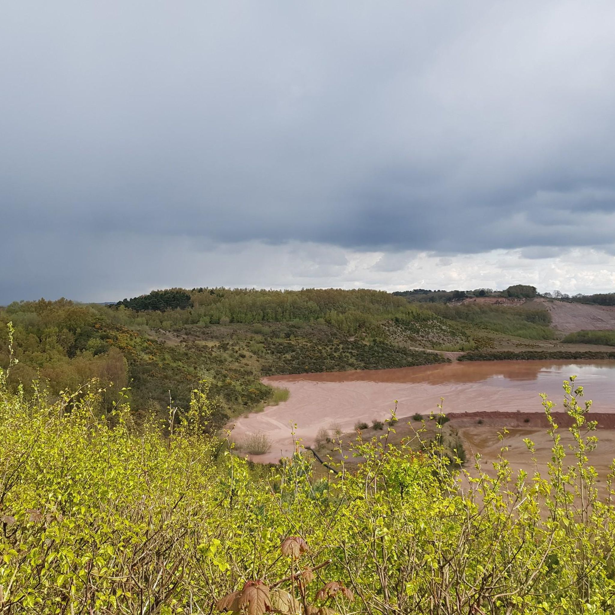
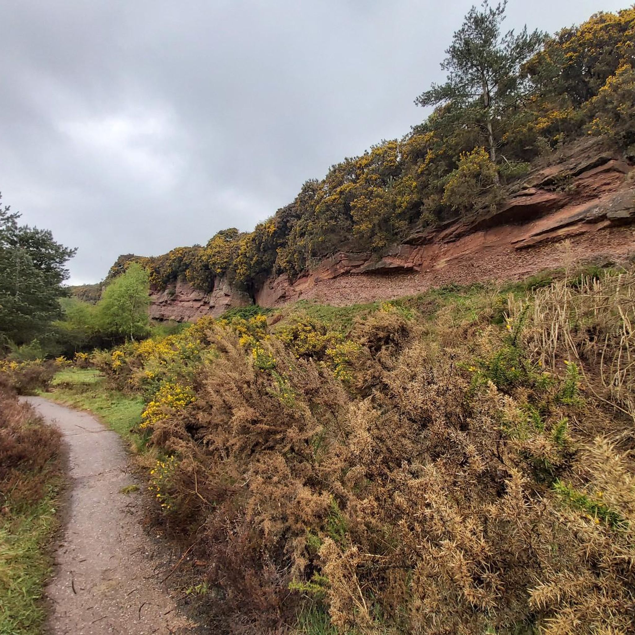
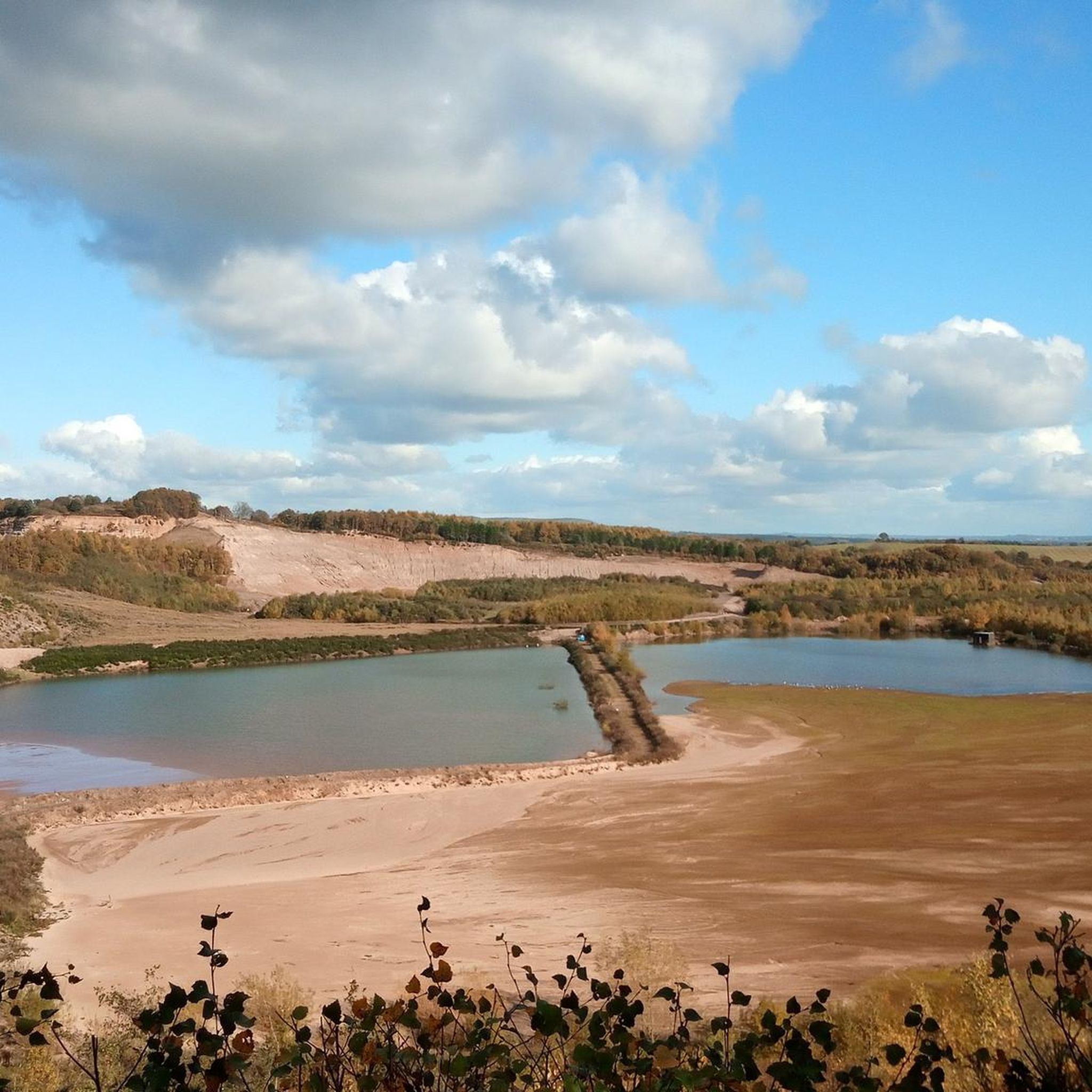
Hiking around Draycott In The Moors offers diverse natural features and varied terrain in Staffordshire, situated between Stoke-on-Trent and Uttoxeter. The area is characterized by picturesque woodlands like Threap Wood and is enhanced by the presence of the River Blythe. Hikers can explore a network of footpaths that include charming natural elements such as waterfalls and stepping stones on tributaries of the Churnet River. The Draycott In The Moors hiking terrain provides options ranging from gentle paths to more challenging…
Last updated: July 6, 2026
7
hikers
6.84km
01:49
70m
70m
Easy hike. Great for any fitness level. Easily-accessible paths. Suitable for all skill levels.
5
hikers
5.33km
01:27
70m
70m
Easy hike. Great for any fitness level. Easily-accessible paths. Suitable for all skill levels.

Sign up for free
6
hikers
Easy hike. Great for any fitness level. Easily-accessible paths. Suitable for all skill levels.
3
hikers
10.3km
02:50
160m
160m
Moderate hike. Good fitness required. Easily-accessible paths. Suitable for all skill levels.
5
hikers
4.96km
01:17
30m
30m
Easy hike. Great for any fitness level. Easily-accessible paths. Suitable for all skill levels.
Get access to more routes and recommendations from other explorers.
Sign up for free
Already have an account?
Our route recommendations are based on thousands of hikes, rides, and runs completed by other people on komoot.
Start today with a free account
Your next adventure awaits.
Login or Signup

Tips from the Community


There’s no such thing as too many oatcakes when you’re a Stokie! 😋
0
0
Never have been lost for words as I was when I opened that door to this absolutely stunning church! It certainly has the ‘WOW!’ factor for sure!!!! This certainly is a must visit!
0
0
A half-timbered building dating from the 17th-century.
0
0
St Giles Catholic Church, known as ‘Pugin’s Gem’ as it was designed by Augustus Pugin for the then Earl of Shrewsbury. The heraldic Lions of the Earls of Shrewsbury are present at the main entrance. The tower and spire are 200 feet high, a striking feature in the town, and much of the church is ornate as befits Pugin’s style. The interior is particularly elaborate and rich in colour.
0
0
A great little shop selling freshly made, filled and unfilled oatcakes and pikelets. Open - Thu-Sat 6am-2pm Sun 7am - 11:30am
0
0
This is a gorgeous ‘old’ pub - converted from an old bakers into a pub 7 years ago. Well worth a visit.
0
0

Frequently Asked Questions
How many hiking trails are available in Draycott In The Moors?
Draycott In The Moors offers an extensive network of footpaths, with over 300 hiking routes available on komoot. These trails cater to a wide range of preferences and abilities.
What kind of hiking difficulty levels can I expect in Draycott In The Moors?
The area provides a diverse range of difficulty levels. You'll find over 180 easy routes, more than 120 moderate trails, and a few challenging options for experienced hikers. This ensures there's something for every fitness level.
Are there family-friendly hiking options in Draycott In The Moors?
Yes, Draycott In The Moors has many easy hikes suitable for families. Routes like the Eves Lane to Huntley Loop from Cheadle are relatively short and have minimal elevation gain, making them ideal for a leisurely family outing.
Are there any circular walking routes in Draycott In The Moors?
Many of the trails in Draycott In The Moors are circular, offering convenient starting and ending points. The local parish council has even published details of three distinct circular routes, and komoot features numerous loop trails, such as the The Baker's Arms – Stone Fountain loop from Cheadle.
What natural features or landmarks can I see along the hiking trails?
Hikers can discover picturesque woodlands like Threap Wood, and charming natural elements such as a pretty waterfall and stepping stones on a tributary of the Churnet River. The River Blythe also adds to the scenic beauty. For specific points of interest, consider visiting Dimmingsdale Mill Pond, a popular spot for walkers, or the historic Croxden Abbey Ruins.
Are there any good viewpoints on the hikes in Draycott In The Moors?
While specific named viewpoints directly on the trails are not extensively highlighted, the diverse terrain and woodlands often provide scenic vistas. For a dedicated viewpoint, you might explore areas around Downs Banks Millennium Viewpoint, which offers expansive views of the surrounding landscape.
What do other hikers enjoy the most about hiking in Draycott In The Moors?
The komoot community highly rates the hiking experience in Draycott In The Moors, with an average score of 4.5 stars from over 600 reviews. Hikers often praise the picturesque woodlands, the diverse network of footpaths, and the variety of routes suitable for all ability levels.
Are there any long-distance hiking options for more experienced hikers?
For those seeking a challenge, Draycott In The Moors offers longer and more demanding routes. An example is the Hawksmoor Wood – Oakamoor Weir and Sluice Gates loop from Cheadle, which covers nearly 20 km with significant elevation gain and takes over five hours to complete, requiring very good fitness.
Are there places to eat or drink near the hiking trails?
Yes, there are options for refreshments. The Black Lion Pub, Consall Forge is a notable spot. Some routes, like the "Stone Fountain – Ye Olde Oatcake Shoppe loop from Cheadle," even hint at local eateries, providing opportunities to refuel after your hike.
Is Draycott In The Moors suitable for dog walking?
The extensive network of footpaths and woodlands in Draycott In The Moors makes it a great area for dog walking. Many trails are suitable for dogs, but always ensure your dog is under control, especially near livestock, and check for any specific local restrictions or signage.
What is the terrain like for hiking in Draycott In The Moors?
The terrain in Draycott In The Moors is varied, ranging from gentle field-paths and accessible woodland trails to more challenging routes with notable elevation gains. You'll encounter picturesque woodlands, open fields, and areas near the River Blythe and its tributaries.
Most popular attractions around Draycott In The Moors

Get inspired with the komoot mobile app


Explore more
Browse the best Hikes in other regions.
