The best walks and hikes around Clungunford
4.5
(270)
1,591
hikers
119
hikes
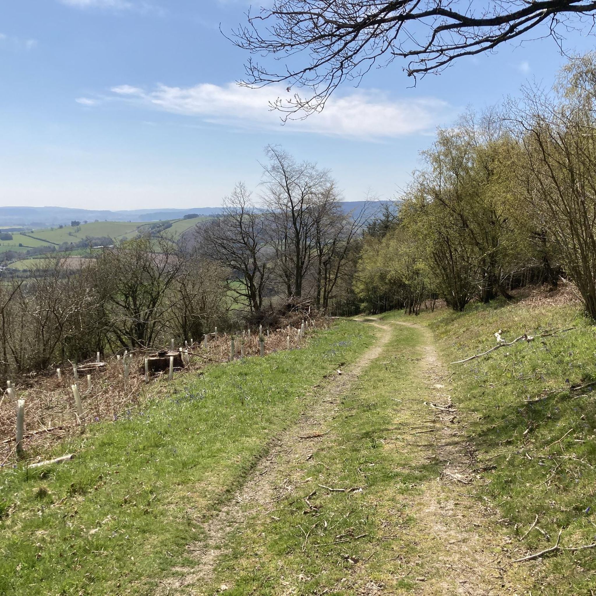
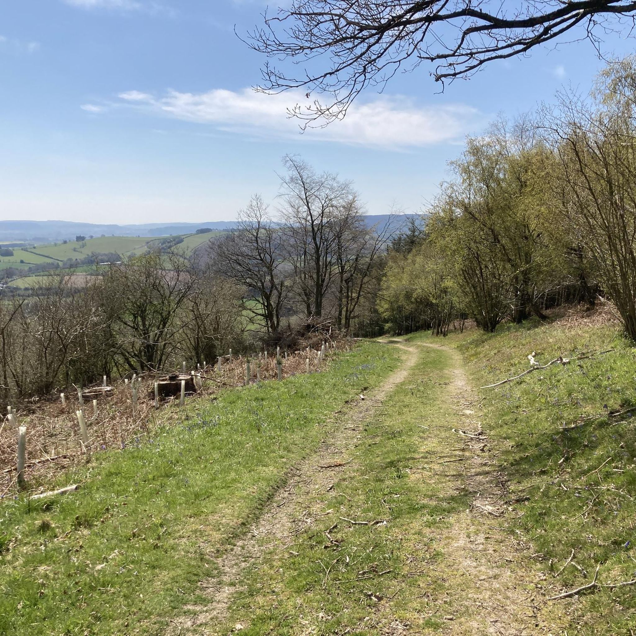
Hiking around Clungunford offers access to the diverse landscapes of the Shropshire Hills Area of Outstanding Natural Beauty. The region features a tapestry of rolling countryside, dense woodlands, and open meadows, providing varied terrain for exploration. Key physical features include the meandering River Clun Valley, the expansive heathland plateau of The Long Mynd, and the dramatic rocky tors of The Stiperstones. This area provides a range of trails from gentle riverside paths to more challenging hill climbs.
Best hiking trails around Clungunford
- The most popular hiking route is Burrow Hillfort loop — Shropshire Hills, a 7.7 miles (12.5 km) trail that takes 3 hours 39 minutes to complete. This route explores the ancient Burrow Hillfort and offers views across the Shropshire Hills.
- Another top favourite among local hikers is Hopton Woods & Hopton Castle loop — Shropshire Hills, a moderate 6.4 miles (10.3 km) path. This trail leads through the woodlands of Hopton and past the historic ruins of Hopton Castle.
- Local hikers also love the Burrow Hillfort & Hopesay Hill loop from Aston on Clun, a 6.3 miles (10.2 km) trail leading through rolling hills and past the Burrow Hillfort, often completed in about 3 hours 4 minutes.
- Hiking around Clungunford is defined by rolling countryside, dense woodlands, and river valleys. The network offers options for different ability levels, from easy strolls to more strenuous climbs.
- The routes in Clungunford are highly rated by the komoot community with an average score of 4.4 stars from over 200 reviews. More than 1,400 hikers have used komoot to explore Clungunford's varied terrain.
Last updated: August 15, 2026
4.4
(5)
31
hikers
12.5km
03:39
350m
350m
The Burrow Hillfort loop in the Shropshire Hills offers a moderate hiking experience, covering 7.7 miles (12.5 km) with an elevation gain of 1145 feet (349 metres). You can expect to complete it in about 3 hours and 39 minutes. The trail features varied terrain, from leisurely climbs to steep, rocky sections, winding through rolling hills, moorland plateaus, and ancient woodlands. As you ascend, you will be rewarded with incredible panoramic views across Shropshire from the hillfort's summit, making the effort worthwhile.
While the trail is generally accessible, some parts require sure-footedness due to their steep and rocky nature. The area around the nearby village of Hopesay adds to the charm of the surroundings. Access to the hillfort's ramparts and ditches is now made easier by a permissive path from the Shropshire Way, which was established after 2008, improving upon previous long and steep climbs.
The most significant feature of this route is the Iron Age Burrow Hillfort, considered one of Shropshire's best examples. This impressive archaeological site boasts three entrances, four sets of ramparts and ditches forming its tear-shaped stronghold, and two natural springs within its confines. Excavations have even uncovered
4.3
(4)
17
hikers
10.3km
03:05
320m
320m
Embark on the Hopton Woods & Hopton Castle loop, a moderate hiking experience in the Shropshire Hills that spans 6.4 miles (10.3 km) with an elevation gain of 1043 feet (318 metres). This trail typically takes around 3 hours and 5 minutes to complete, offering a diverse landscape of rolling hills, winding streams, and dense woodlands. As you hike, you will encounter varied terrain, from forest tracks to farmland and streamside paths, with several sturdy stiles along the way. The route features both flowing downhill sections and significant climbs, including a notable ascent from the woodland's base to its highest point, rewarding you with panoramic views. You can expect to see the historic Hopton Castle ruins, a key visual landmark, as you explore the area.
Planning your visit to this trail means preparing for undulating terrain and varied path surfaces, which can include paved sections, asphalt, gravel, and unsurfaced tracks. Since Hopton Woods is also a popular mountain biking destination, be aware that you might share certain sections of the trail with cyclists. The conditions of the unsurfaced paths can change with the weather and season, sometimes presenting natural features like roots. While the trail is generally accessible for most skill levels, a good level of fitness will help you enjoy the climbs.
This loop is nestled within the Shropshire Hills Area of Outstanding Natural Beauty, providing a rich tapestry of scenery. Beyond the natural beauty, the trail offers a journey through history, centered around Hopton Castle, a 12th-century medieval fortification. This castle played a significant role in the English Civil War, and information boards at the ruins provide insight into its past. Elevated viewpoints along the route, such as Hopton Titterhill, offer expansive vistas of the surrounding countryside, including distant landmarks like the Long Mynd, Caer Caradoc, the Wrekin, and the Roaches.

Sign up for free
6
hikers
10.2km
03:04
320m
320m
Hike the moderate 6.4-mile Burrow Hillfort & Hopesay Hill loop from Aston on Clun for panoramic views and Iron Age history.
5.0
(1)
19
hikers
7.98km
02:22
230m
230m
Moderate hike. Good fitness required. Easily-accessible paths. Suitable for all skill levels.
4.0
(1)
8
hikers
18.9km
05:23
430m
430m
Hard hike. Very good fitness required. Easily-accessible paths. Suitable for all skill levels.
Get access to more routes and recommendations from other explorers.
Sign up for free
Already have an account?
Our route recommendations are based on thousands of hikes, rides, and runs completed by other people on komoot.
Start today with a free account
Your next adventure awaits.
Login or Signup

Tips from the Community

If there’s no room in the castle car park, there’s better space around the corner in the village
0
0

On the approach to Leintwardine, the trail passes along an ancient sunken lane with high tree lined banks on either side.
0
0
Just downstream of Downton Castle, the Teme runs through a winding wooded section, and there are a few open views such as this one.
0
0
Another view of the imposing Downton Castle, seen from the Herefordshire Trail that runs directly beneath it.
0
0
The view up to the castle from the bridge over the river Teme shows how imposing the place is, up on the hillside overlooking the Teme Valley. It is an 18th Century mock castle manor house, built on the fortune of one of the Industrial revolution Ironmasters who owned Bringewood Ironworks just downstream from here.
0
0
The gorge was formed by the river Teme forcing its way through a limestone ridge, and you can see the limestone where is forms the river bed below the bridge.
0
0
The magnificent bridge marks the end of the Downton Gorge, and you can just about get a view of both the bridge and the castle. The gorge is not open to the public unfortunately so this is as close as you can usually get.
0
0
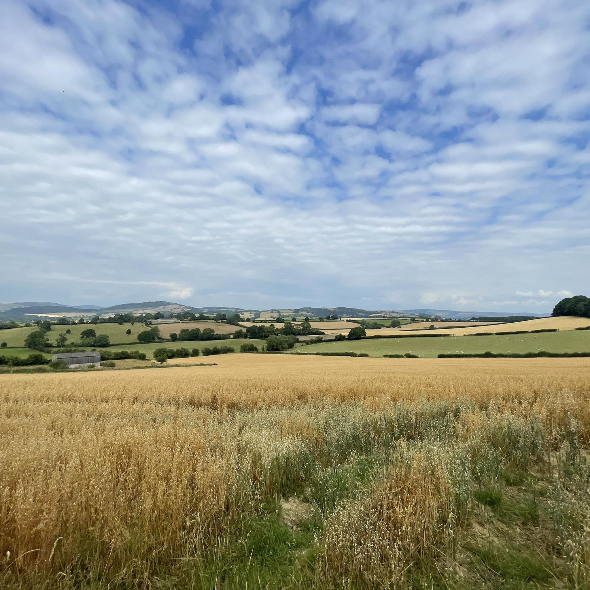
Another example of the tree covered ridges of the hills between Burrington and Downton, with farm land between.
0
0
Frequently Asked Questions
How many hiking trails are available around Clungunford?
There are over 100 hiking routes around Clungunford, catering to various skill levels. You'll find a good mix of easy strolls, moderate paths, and some more challenging climbs, all within the diverse landscapes of the Shropshire Hills.
What do other hikers enjoy most about the trails around Clungunford?
The trails around Clungunford are highly rated by the komoot community, with an average score of 4.4 stars from over 200 reviews. Hikers frequently praise the area's diverse landscapes, from rolling countryside and dense woodlands to tranquil riverside paths, and the peaceful retreat it offers within the Shropshire Hills AONB.
Are there any family-friendly hiking routes in Clungunford?
Yes, Clungunford offers several easy routes suitable for families. The area's gentle terrain, particularly along the River Clun Valley, provides accessible paths for all ages. For example, the View of the Shropshire Hills – Hopesay Hill loop from Hopesay is an easy option that offers scenic views without being too strenuous.
Are there dog-friendly hiking trails in the Clungunford area?
Many trails around Clungunford are suitable for dogs, offering open spaces and woodlands to explore. It's always recommended to keep dogs under control, especially near livestock, and to check local signage for any specific restrictions. The varied terrain, including parts of the Shropshire Hills AONB, provides plenty of opportunities for you and your canine companion.
Can I find circular hiking routes in Clungunford?
Yes, many of the hiking routes around Clungunford are circular, allowing you to start and finish at the same point. A popular example is the Burrow Hillfort loop — Shropshire Hills, which takes you through ancient landscapes and offers expansive views.
What historical sites or landmarks can I see while hiking near Clungunford?
The Clungunford area is rich in history. You can explore ancient sites like the Burrow Hillfort, an Iron Age hillfort. Another route, the Hopton Woods & Hopton Castle loop — Shropshire Hills, takes you past the ruins of Hopton Castle, a 12th-century fortification. The historic Offa's Dyke Path also runs nearby, offering walks steeped in ancient border history.
Are there any riverside walks in Clungunford?
Yes, the meandering River Clun carves through the area, offering numerous tranquil riverside paths. These routes provide gentle walks and opportunities to spot local flora and fauna, making them ideal for a relaxed stroll.
What are the most scenic areas for hiking around Clungunford?
For breathtaking views, explore the expansive heathland plateau of The Long Mynd, known for its heather and diverse wildlife. The dramatic ridge of The Stiperstones, with its rocky quartzite tors, also offers spectacular vistas. The Shropshire Hills AONB itself provides a tapestry of rolling countryside and dense woodlands, ensuring scenic beauty on most trails.
Is public transport available to access hiking trails in Clungunford?
While Clungunford is a rural area, some local bus services operate, connecting it to larger towns like Craven Arms and Ludlow. However, direct public transport access to specific trailheads might be limited. Planning your route in advance and checking local bus schedules is advisable. Many hikers prefer to drive to trail starting points.
Are there pubs or places to eat near the hiking routes in Clungunford?
Yes, the Shropshire Hills region is known for its welcoming country pubs. While specific pubs directly on every trailhead might vary, you'll find charming establishments in nearby villages that offer refreshments and meals. For a longer, more challenging hike that includes pub stops, consider The Sun and The Lion Pubs – Downton Gorge loop from Leintwardine.
What is the best time of year to go hiking in Clungunford?
Clungunford offers enjoyable hiking experiences throughout the year. Spring brings blooming wildflowers and fresh greenery, while summer provides longer daylight hours and warmer weather. Autumn is particularly scenic with vibrant foliage across the woodlands and hills. Even winter can be beautiful, with crisp air and potentially snow-dusted landscapes, though some higher routes might require more appropriate gear.
What kind of wildlife can I expect to see while hiking in Clungunford?
The diverse habitats of the Shropshire Hills AONB support a variety of wildlife. Along the River Clun, you might spot local flora and fauna. On The Long Mynd, look out for the green hairstreak butterfly and hunting merlins. The Stiperstones National Nature Reserve is home to red grouse, ravens, and stonechat, offering excellent opportunities for nature observation.
Most popular attractions around Clungunford

Get inspired with the komoot mobile app


Explore more
Browse the best Hikes in other regions.
