The 9 Most Amazing Peaks around Presteigne
Best mountain peaks around Presteigne are found in a landscape rich with hills and elevated natural features, situated on the border of Wales and England. This area provides numerous opportunities for hiking and offers expansive views of the surrounding countryside. While not towering in the traditional sense, these prominent hills deliver excellent outdoor experiences. The region is characterized by its diverse terrain, including ridges, wooded hills, and historical sites.
Best mountain peaks around Presteigne
- The most popular mountain peaks is…
Last updated: June 29, 2026
Hergest Ridge Summit
Highlight • Trail
Tip by

Cwm-Sanaham Hill Trig Point
Highlight • Viewpoint
Tip by

Sign up now to discover places like this
Get recommendations on the best single tracks, peaks, & plenty of other exciting outdoor places.
Sign up for free
Llanfair Hill Trig Point
Highlight • Trail
Tip by

Bluebell Woods on Shobdon Hill
Highlight • Summit
Tip by

The Whimble
Highlight • Viewpoint
To the …
Tip by

Sign up for free to discover even more peaks around Presteigne.
Sign up for free
Already have an account?
Start today with a free account
Your next adventure awaits.
Login or Signup



Tips from the Community


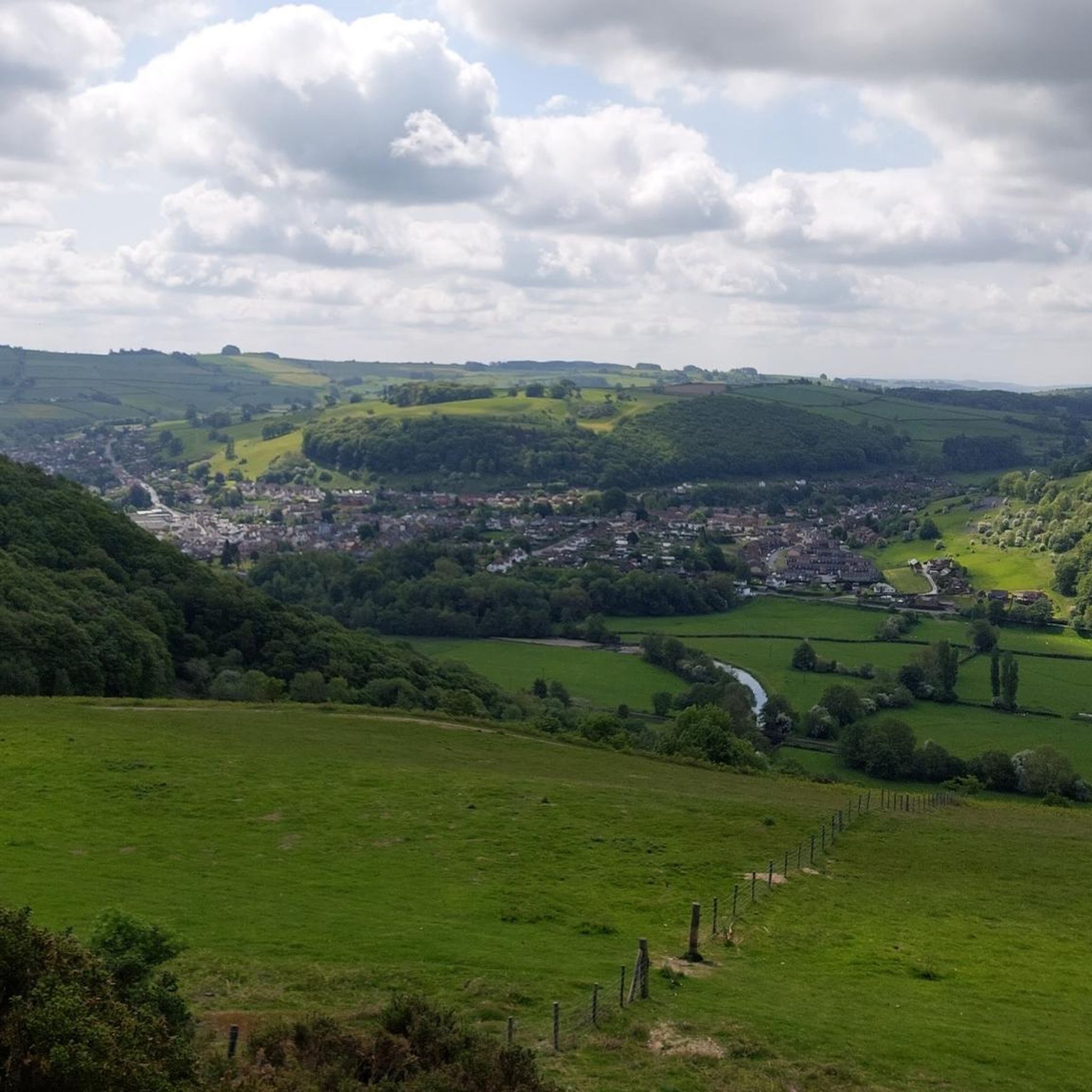
Mike Oldfield created an album called ‘Hergest Ridge’ in 1974 and lived at ‘The Beacon’ the cottage with a first floor extension on Offas Dyke path from Kington which is now a guest house. The golf course encompasses Bradnor Hill and there are benches and wooden shelters at various points. Views across several counties are well worth the walk. If you’re a horse person or just a calm, quiet person around animals you will probably make some pony friends
0
0

If you hike the Offa's Dyke Path, the passage over the Hergest Ridge is the highlight of the stage from Hay-on-Wye to Kington. Very beautiful views and distant vistas! The path itself does not lead directly over the summit, but you can of course incorporate that if you wish.
1
0

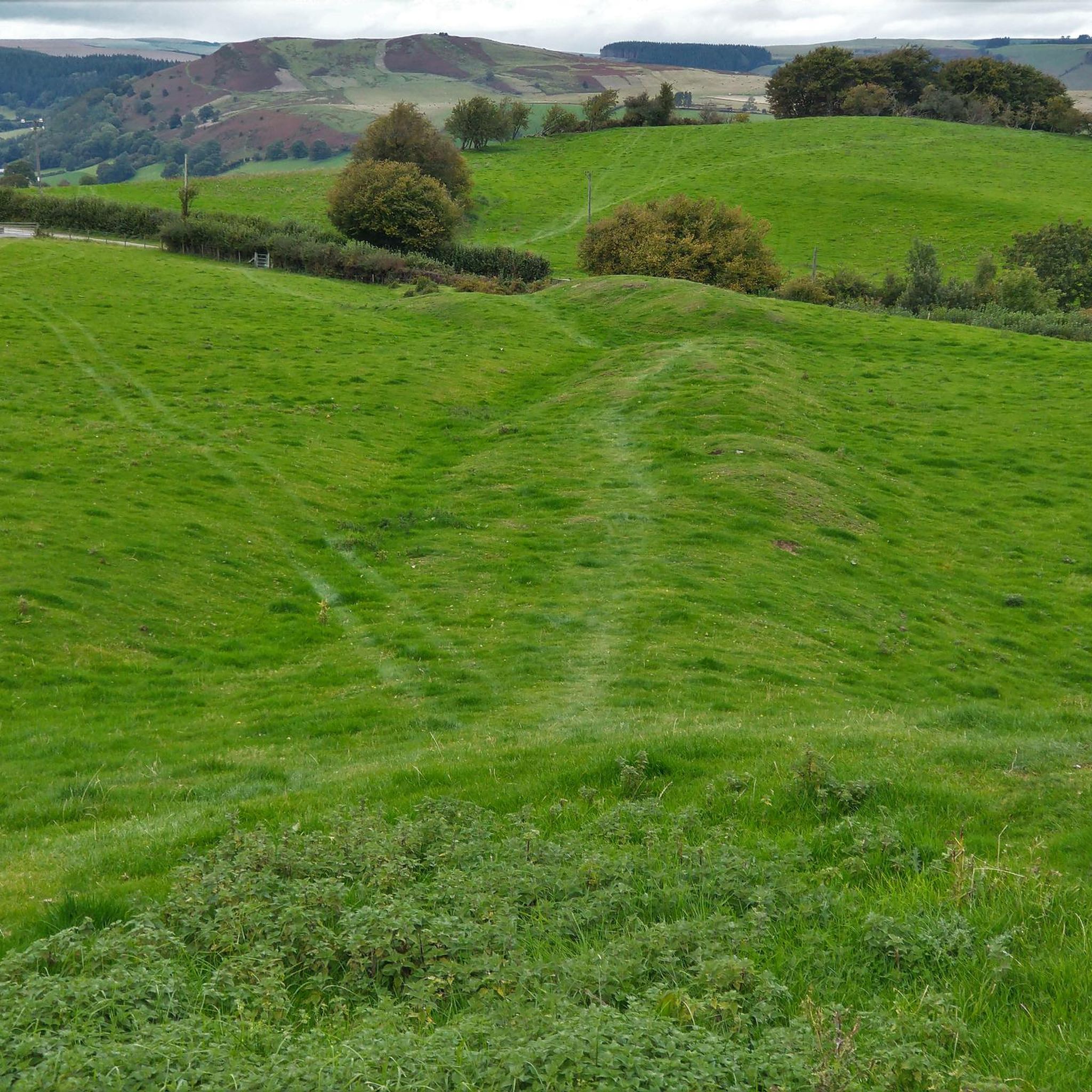
Cwm-Sanaham is an elevated hilltop located near Knighton in Shropshire. From this vantage point, you can enjoy wonderful panoramic views of the surrounding countryside across rolling hills, meandering streams and picturesque landscapes.
1
0

The Whimble has a striking conical shape. The summit is 599m and on a clear day offers great voews with the hill dropping away steeply on all sides. To the southeast, Hergest Ridge and the Black Mountains visible to the south. To the west and north the higher, flat-topped summits of the Radnor Range. To the northeast, Bache Hill.
3
0

Wearing a gorgeous woodland cloak, whale-backed Shobdon Hill is a 1,070-foot (326 m) Marilyn-listed summit in Herefordshire. Hikers ascending from the east are rewarded with splendid views across the valley to Mere Hill Wood. A path traverses the broad crest of the hill, with the occasional vista seen through gaps in the trees. The Mortimer Trail traverses the hill on its way west towards Wapley Hillfort.
1
0

Llanfair Hill lies near the Welsh/English border in Shropshire and has far-reaching views in every direction. Grassy and exposed the hill is also home to a stretch of Offa's Dyke and the long-distance footpath, Jack Mytton Way. There's a trig point at 1,410 feet (430 m).
1
0

Shobdon Hill is a wooded hill near Kinsham and has an unmarked summit. It is a UK listed Marilyn.
3
0
Frequently Asked Questions
What are some of the most notable mountain peaks to explore around Presteigne?
The region around Presteigne offers several prominent hills and 'peaks' for exploration. Hergest Ridge Summit is highly popular for its panoramic views and the Offa's Dyke National Trail. Another must-visit is Cwm-Sanaham Hill Trig Point, known for its impressive vistas across the Welsh valleys. For a blend of history and views, Wapley Hillfort offers an Iron Age site alongside scenic trails.
Which peaks offer the most expansive panoramic views near Presteigne?
Hergest Ridge Summit provides breathtaking panoramic views that, on clear days, can stretch to the hills of Shropshire, the Brecon Beacons, and the Malvern Hills. Cwm-Sanaham Hill Trig Point is also lauded for some of the most beautiful views in that part of Wales, stretching from Knighton to Knucklas. Additionally, Llanfair Hill Trig Point offers far-reaching views in all directions from its grassy, exposed terrain.
Are there options for both easy and challenging hikes among Presteigne's peaks?
Yes, the area caters to various fitness levels. While some ascents like Cwm-Sanaham Hill Trig Point can be steep and challenging, leading to rewarding vistas, many paths along ridges like Hergest Ridge Summit offer more moderate walking experiences. The broader area includes trails of varying difficulties, ensuring there's something for everyone.
Are the mountain peaks around Presteigne suitable for families or dog walkers?
Many of the trails around Presteigne's peaks are suitable for families and dog walkers, especially those with well-behaved dogs on leads. Hergest Ridge Summit, with its wide paths and presence of wild ponies, is a popular choice. Always check local signage for specific restrictions, especially concerning livestock like sheep and ponies.
What kind of natural features can I expect to see on these peaks?
You'll encounter a diverse landscape. Hergest Ridge Summit is known for its open ridge, sheep, and wild ponies. Shobdon Hill is characterized by its woodland, offering pleasant forest walks. Many peaks feature grassy, exposed terrain, providing clear views of the surrounding countryside and Welsh valleys.
Are there any historical sites on the mountain peaks near Presteigne?
Yes, Wapley Hillfort is a significant Iron Age hillfort, offering a glimpse into ancient history. While somewhat overgrown, it's recognized as a UK listed Marilyn. Additionally, sections of the historic Offa's Dyke National Trail traverse peaks like Hergest Ridge Summit and Llanfair Hill Trig Point, adding a historical dimension to your walk.
When is the best time of year to hike the peaks around Presteigne?
The best time to hike the peaks around Presteigne is generally during the spring, summer, and early autumn months (April to October) when the weather is milder and the days are longer. Clear days offer the most rewarding panoramic views. Winter hiking is possible but requires appropriate gear due to potentially colder temperatures and shorter daylight hours.
Can I find circular walks around the mountain peaks near Presteigne?
Yes, many of the trails around Presteigne's peaks can be incorporated into circular routes. The Offa's Dyke National Trail, which runs along peaks like Hergest Ridge Summit and Llanfair Hill Trig Point, often forms part of longer circular walks when combined with other local footpaths. The Mortimer Trail also crosses Shobdon Hill and near Wapley Hillfort, providing opportunities for varied loops.
What outdoor activities can I do near these mountain peaks?
Beyond hiking, the area around Presteigne offers various outdoor activities. You can explore numerous hiking routes, including options like the 'Highland – Wapley Hillfort loop'. For cyclists, there are many road cycling routes and touring bicycle routes, such as the 'Bike Shop – Rose Craft Shop & Cafe loop' or the 'Clun Castle loop'.
What do visitors enjoy the most about the mountain peaks around Presteigne?
Visitors frequently praise the breathtaking panoramic views, especially from spots like Hergest Ridge Summit and Cwm-Sanaham Hill Trig Point. The opportunity to walk sections of historic trails like Offa's Dyke Path, the presence of wild ponies, and the peaceful, natural charm of the landscape are also highly valued. The variety of trails, from challenging climbs to pleasant woodland walks, ensures a rewarding experience for many.
Is parking available near the trailheads for these peaks?
While specific parking details for every trailhead are not always listed, many popular hiking areas and trailheads around Presteigne, especially those accessing well-known peaks and national trails, typically have designated parking areas or roadside parking options. It's advisable to check local maps or specific route descriptions for parking information before your visit.
Are there any other notable hills or elevated areas in the vicinity of Presteigne?
Beyond the main peaks, the area boasts other significant elevated features. Bradnor Hill is known for hosting the highest golf course in England and offers 360-degree views. The Whimble provides panoramic views of Radnor Forest after a steep climb. These hills further enrich the walking landscape around Presteigne.
Most popular routes around Presteigne
Most popular attractions around Presteigne

Get inspired with the komoot mobile app


Explore more
See even more amazing summits around Presteigne with these guides:
