The best road cycling routes around Pannal And Burn Bridge
5.0
(2)
252
riders
14
rides
Road cycling around Pannal And Burn Bridge offers diverse terrain within the Nidderdale National Landscape, characterized by varied scenery and historical landmarks. The region features numerous cycling routes predominantly on paved surfaces, catering to different fitness levels. Cyclists can expect a mix of rolling countryside, significant elevation gains on some routes, and views of prominent natural features and historical sites. The area provides a compelling environment for road cycling, combining physical challenge with scenic exploration.
Best road cycling routes around…
Last updated: October 13, 2026
68
riders
89.5km
03:39
490m
490m
Moderate road ride. Good fitness required. Mostly well-paved surfaces and easy to ride.
45
riders
99.0km
04:40
1,250m
1,250m
Hard road ride. Very good fitness required. Mostly well-paved surfaces and easy to ride.

19
riders
85.1km
04:21
1,390m
1,390m
Hard road ride. Very good fitness required. Mostly well-paved surfaces and easy to ride.
53
riders
108km
05:02
1,190m
1,190m
Hard road ride. Very good fitness required. Some segments of this route may be unpaved and difficult to ride.
5.0
(1)
30
riders
24.9km
01:13
330m
320m
Moderate road ride. Good fitness required. Mostly well-paved surfaces and easy to ride.
Get access to more routes and recommendations from other explorers.
Already have an account?
Our route recommendations are based on thousands of hikes, rides, and runs completed by other people on komoot.
Start today with a free account
Your next adventure awaits.
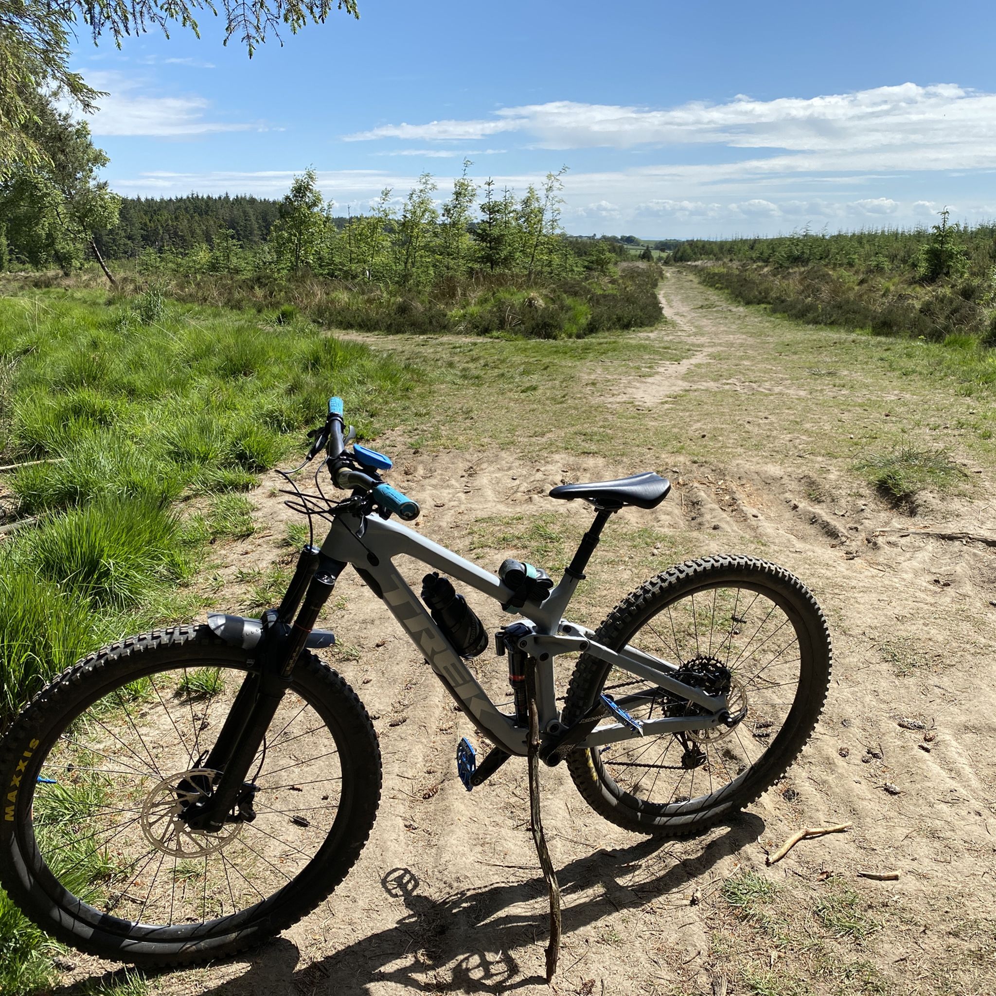

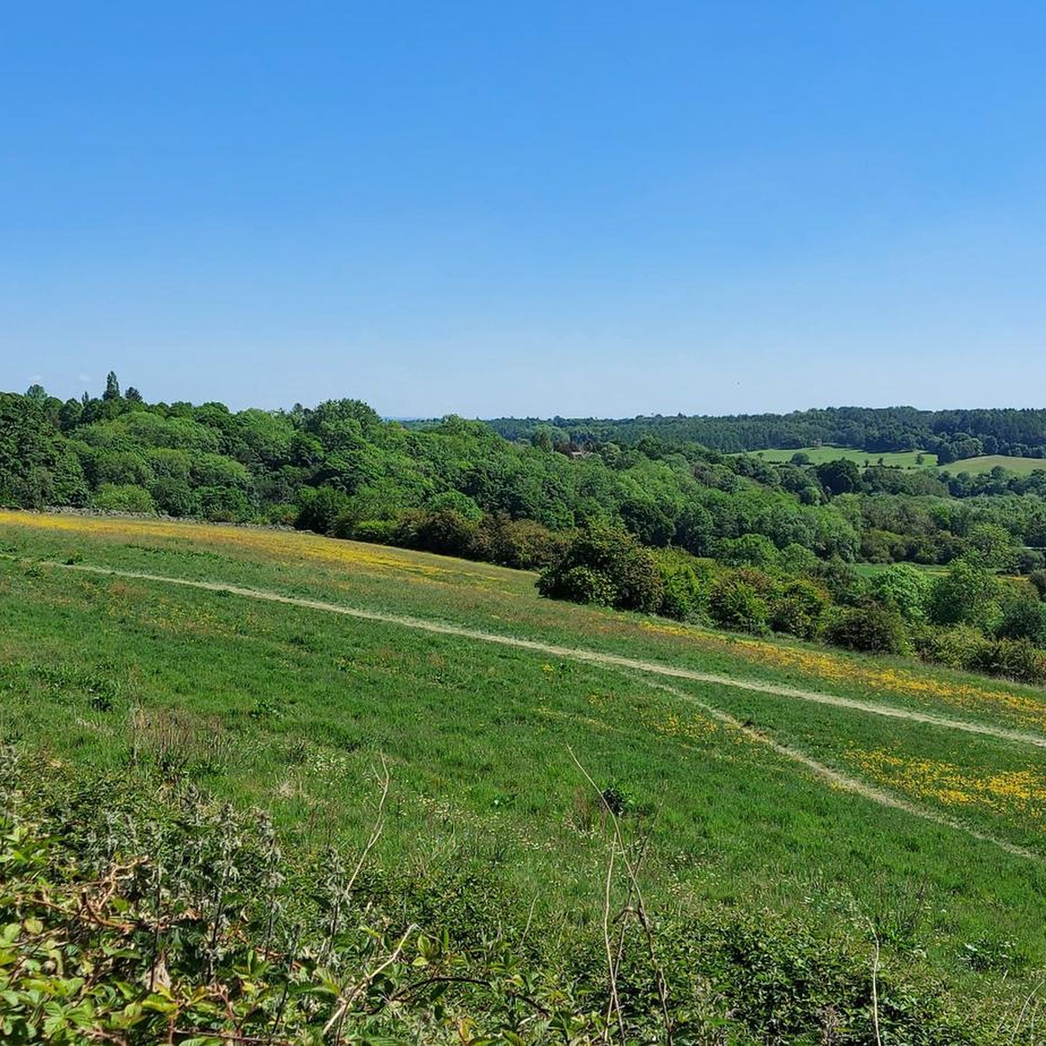

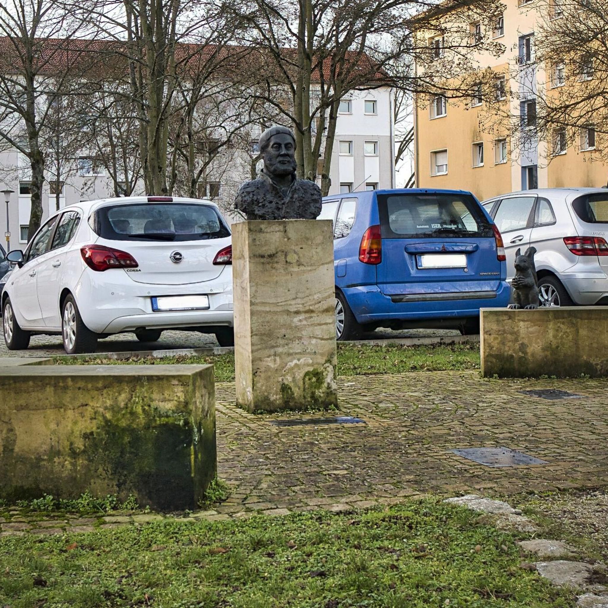
Tips from the Community

Man, it's raining cats and dogs out here! Why isn't there a roof on this place!
0
0


pace yourself !!!
0
0


Try the Fika Rooms for coffee and scone. Several other excellent cafes available.
0
0

Lindley Wood is a compensation reservoir, which means it is not linked to the supply of water to homes but is there to take excess water from Fewston and Swinsty reservoirs, which are nearby. This is why there is not much water in there.
0
0

Enjoy beautiful cycling on a smooth, well-paved road that winds through the peaceful Stainburn Moor.
1
0
Frequently Asked Questions
What types of road cycling routes can I find around Pannal and Burn Bridge?
The region offers a diverse range of road cycling routes, primarily on paved surfaces, catering to various fitness levels. You'll find everything from moderate loops to more challenging routes with significant elevation gains. The terrain includes rolling countryside and scenic views within the Nidderdale National Landscape.
Are there any challenging road cycling routes for experienced riders?
Yes, for experienced riders seeking a challenge, routes like the Back Road to Bolton Abbey – Bolton Priory Ruins loop from Pannal offer a substantial ride of 61.2 miles (98.5 km) with over 1000 meters of ascent. Another demanding option is the Farnley Climb – Rolling Country Road loop from Pannal, which covers 98.4 km with over 1250 meters of climbing.
What historical landmarks and natural features can I see along the road cycling routes?
Road cycling routes in this area often pass by significant historical landmarks and natural features. You can explore sites such as the Spofforth Castle Ruins, Ripley Castle and Bridge, and the impressive Knaresborough Castle and view over the River Nidd. For natural beauty, routes often feature the prominent gritstone outcrop of Almscliffe Crag, and you might encounter viewpoints like Little Alms Cliff Summit.
Are there any family-friendly road cycling routes in the area?
While many routes offer varying lengths, the region is generally known for its diverse terrain which can include significant climbs. For families, it's advisable to look for shorter, less elevated sections or routes described as 'moderate' that stick to paved surfaces. Always check the route details for elevation and distance to ensure it suits your family's fitness level.
What is the best time of year to go road cycling around Pannal and Burn Bridge?
The Nidderdale National Landscape offers beautiful scenery year-round. However, for optimal road cycling conditions, spring through autumn generally provides the most pleasant weather. Winter cycling is possible but be prepared for colder temperatures and potentially wet or icy conditions, especially on less-trafficked roads or higher elevations.
Where can I find parking for road cycling routes in Pannal and Burn Bridge?
Specific parking information for individual routes is best checked locally. However, both Pannal and Burn Bridge villages offer various parking options. Look for public car parks or designated street parking areas, keeping in mind local regulations and potential restrictions, especially during peak times.
Are there any road cycling routes that include pub or cafe stops?
Yes, many routes in the area are designed to pass through or near villages and towns that offer amenities. For example, the 'Kirby Lane – Scott's Arms Pub loop' mentioned in regional research suggests routes can incorporate local establishments. It's a good idea to plan your route with komoot to identify potential stops for refreshments in villages like Pannal, Burn Bridge, or nearby Harrogate.
How many road cycling routes are available in the Pannal and Burn Bridge area?
There are over 15 road cycling routes available around Pannal and Burn Bridge, ranging in difficulty from moderate to difficult. These routes are highly rated by the komoot community, with an average score of 5.0 stars.
What do other road cyclists enjoy most about cycling in Pannal and Burn Bridge?
The area is highly rated by the komoot community, with an average score of 5.0 stars. Reviewers often praise the diverse terrain, the mix of rolling countryside with challenging climbs, and the scenic views of historical landmarks and natural features within the Nidderdale National Landscape.
Can I reach the road cycling routes using public transport with my bike?
Public transport options to Pannal and Burn Bridge, such as train and bus services, may have policies regarding carrying bikes. It is recommended to check with specific operators like Northern Rail for train services to Pannal station or local bus companies operating in the Harrogate area for their current bike carriage policies before planning your journey.
Are there any specific permits or regulations for road cycling in the Nidderdale National Landscape?
Generally, road cycling on public roads and designated cycle paths in the Nidderdale National Landscape does not require special permits. However, always respect local signage, private land, and any specific regulations that might apply to certain areas or events. It's good practice to be aware of the Countryside Code.
Are there any routes that offer views of Almscliffe Crag?
Yes, several routes provide excellent views of Almscliffe Crag. A popular option is the Almscliffe Crag – View of the Valley loop from Pannal, a 30.8 km trail that offers direct views of this prominent natural landmark. Another route, the View of the Valley – Almscliffe Crag loop from Pannal, also passes by the crag, providing scenic vistas.
What is the longest road cycling route available from Pannal?
One of the longest road cycling routes starting from Pannal is the Back Road to Bolton Abbey – Bolton Priory Ruins loop from Pannal, which spans 61.2 miles (98.5 km) and takes approximately 4 hours 34 minutes to complete, leading through varied countryside and past historical ruins.
Most popular routes around Pannal And Burn Bridge
Most popular attractions around Pannal And Burn Bridge

Get inspired with the komoot mobile app


Explore more
Browse the best Road cycling routes in other regions.
