The best running trails around St. Margarets
4.3
(8)
541
runners
58
runs
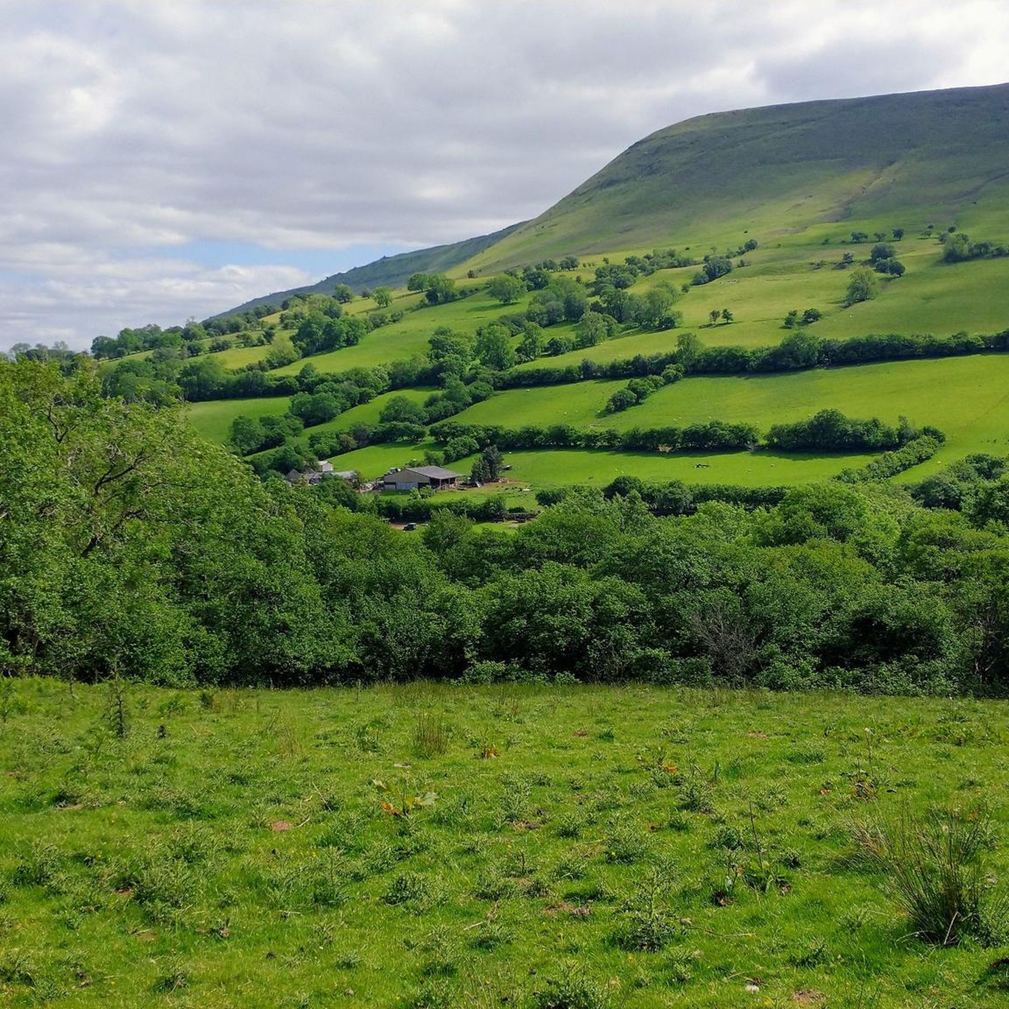
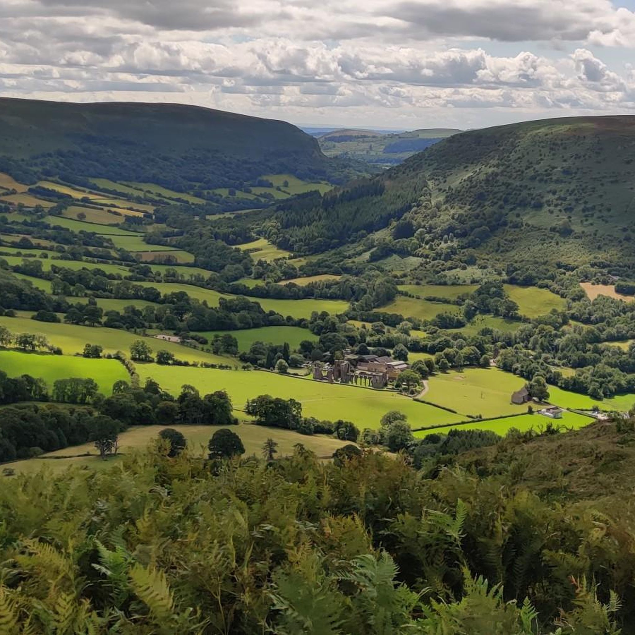
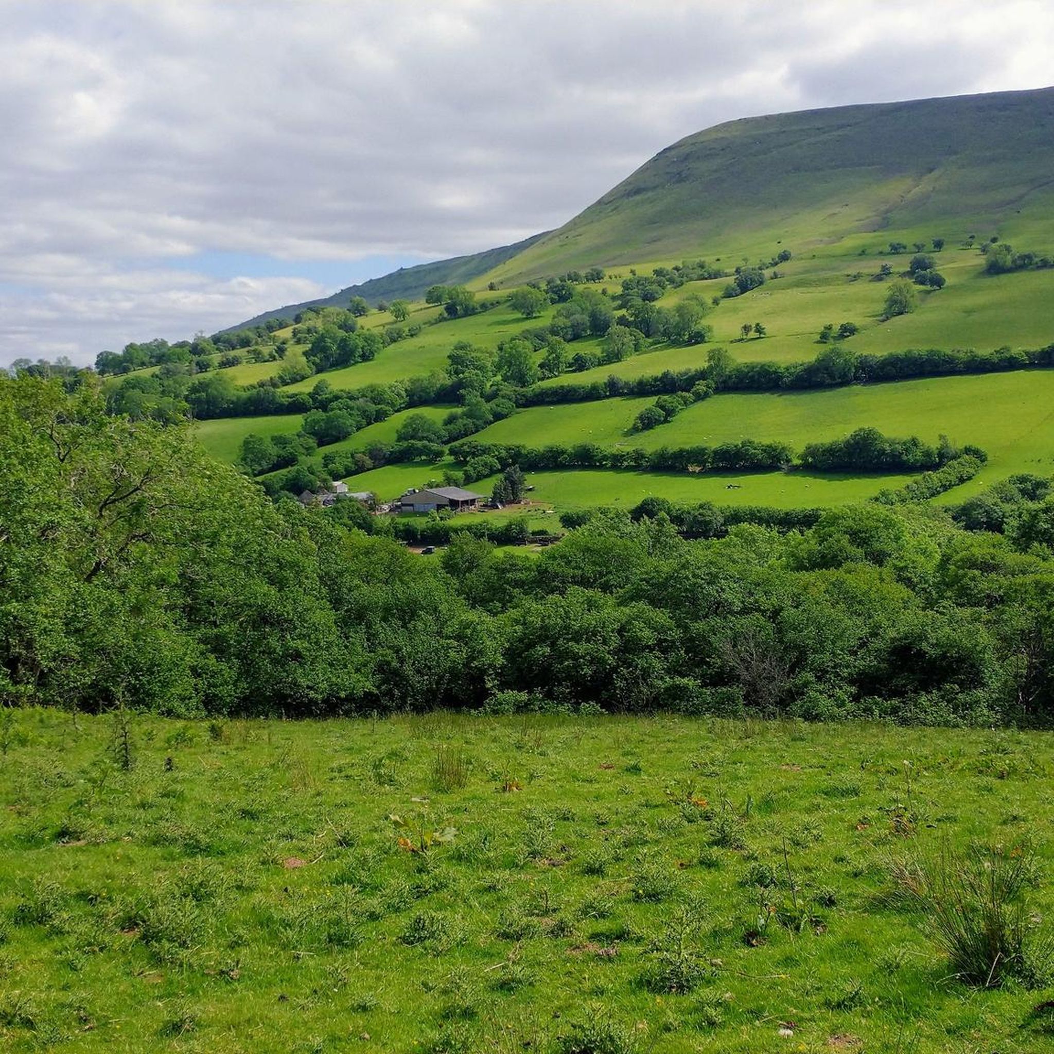
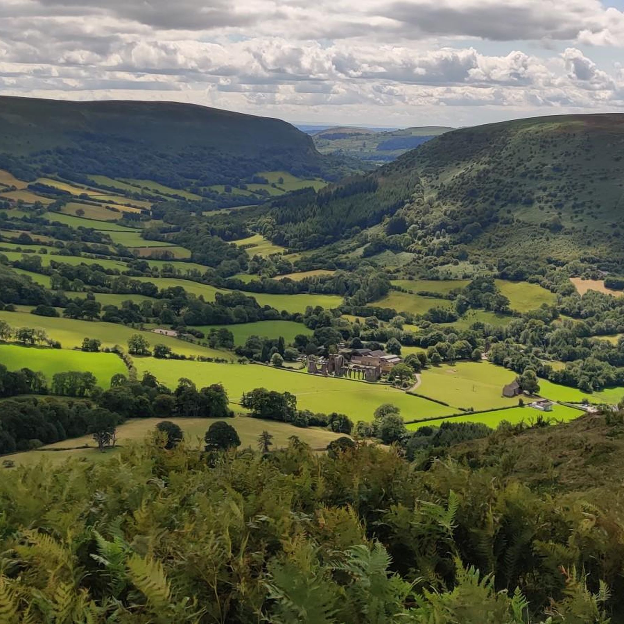
Jogging routes around St. Margarets offer a diverse landscape, characterized by rolling hills, river valleys, and elevated moorland. The region features a mix of agricultural land, wooded areas, and open country, providing varied terrain for runners. Elevations range from gentle riverside paths to more challenging climbs, with some routes reaching significant heights. This area is suitable for runners seeking both moderate and difficult running experiences.
Best jogging routes around St. Margarets
- The most popular jogging route is Llanthony Priory loop…
Last updated: October 7, 2026
12
runners
11.0km
01:11
130m
130m
Moderate run. Good fitness required. Mostly paved surfaces. Suitable for all skill levels.
10
runners
15.5km
01:57
410m
410m
Hard run. Very good fitness required. Mostly paved surfaces. Suitable for all skill levels.

7
runners
5.50km
00:35
90m
90m
Moderate run. Good fitness required. Mostly paved surfaces. Suitable for all skill levels.
8
runners
44.3km
06:11
1,960m
1,960m
Hard run. Very good fitness required. Mostly paved surfaces. Suitable for all skill levels.
6
runners
8.16km
00:52
100m
100m
Moderate run. Good fitness required. Mostly paved surfaces. Suitable for all skill levels.
Get access to more routes and recommendations from other explorers.
Already have an account?
Our route recommendations are based on thousands of hikes, rides, and runs completed by other people on komoot.
Start today with a free account
Your next adventure awaits.
Tips from the Community

Pen y Gadair Fawr stood at an impressive height of 800 metres, and is an subsidiary summit of the highest peak within the Black Mountains … and that is the summit that is of Waun Fach-(811m). Pen y Gadair Fawr is the second highest peak that’s located in the Black Mountains in south-eastern Wales. Marked by a medium-sized cairn, it is a much more distinguished top than its parent 1.5 km to the northwest. Its 658 metres high top Pen Twyn Mawr is about 2 km to the southeast.
0
0

The end of the Cat's Back Ridge, and the high point before Hay Bluff.
0
0
Perched on the edge of the escarpment, it gives fine views across the Wye Valley, and all the way to the Brecon Beacons.
0
0

St Michael's and All Angels Church is situated in the centre of the attractive village of Ewyas Harold. It is a stunning Norman-influenced, but mainly English Gothic, church. It dates from the 13th century, and apparently the walls of the tower are seven foot thick, hinting at it being the primary building at one point and used for protection purposes. The tower houses six bells, which are rung weekly.
0
0
This was the highest point on this walk, and a fine view to the north and west.
0
0
A fine viewpoint, but the cairn has gone (was getting a bit big).
0
0
Frequently Asked Questions
How many running routes are available in the St. Margarets area?
There are over 60 dedicated running routes around St. Margarets, offering a wide range of experiences for all abilities.
What kind of terrain can I expect on running trails around St. Margarets?
The St. Margarets area is characterized by rolling hills, river valleys, and elevated moorland. You'll find a mix of agricultural land, wooded areas, and open country, providing varied terrain from gentle riverside paths to more challenging climbs.
Are there running options for different fitness levels in St. Margarets?
Absolutely. The routes in St. Margarets cater to various fitness levels. You'll find 3 easy routes, 29 moderate routes, and 28 difficult routes, ensuring there's a suitable challenge for everyone.
What do other runners say about the routes in St. Margarets?
The running routes in St. Margarets are highly rated by the komoot community, with an average score of 4.0 stars from over 5 reviews. More than 500 runners have already explored the varied terrain using komoot.
Are there any historical sites or landmarks to see while running in St. Margarets?
Yes, the region is rich in history and natural beauty. You can run past the impressive Llanthony Priory Ruins, or explore routes near Kentchurch Court and Grosmont Castle Ruins. The Dore Abbey – Ewyas Harold Church loop from Abbey Dore is a moderate route that passes by historical landmarks.
Are there any running routes with great viewpoints in St. Margarets?
For breathtaking views, consider routes that take you to higher elevations. The Black Hill Summit Trig Point – Car Park loop from Craswall offers panoramic vistas across open moorland. You can also find remarkable views from Hay Bluff and Twmpa (Lord Hereford’s Knob).
Are there any particularly challenging long-distance running routes in St. Margarets?
For experienced runners seeking a significant challenge, the Gospel Pass – Hay Bluff loop from Llanveynoe is a difficult 44.3 km (27.5 miles) route with nearly 2000 meters of elevation gain, offering an epic trail running experience.
Are there any moderate-difficulty running loops for a good workout?
Yes, a popular moderate option is the Dore Abbey – Ewyas Harold Church loop from Abbey Dore. This 10.9 km (6.8 miles) path offers a mix of open fields and historical sights, typically completed in about 1 hour 11 minutes.
Can I find shorter, moderate running loops in the area?
Certainly. The Running loop from Lower Wern-ddu Farm is a moderate 5.5 km (3.4 miles) route, perfect for a quicker run, usually taking around 35 minutes to complete.
Are there any specific trails or paths that are part of a larger network?
Yes, the area around St. Margarets features parts of the Offa's Dyke Path, a long-distance trail that offers excellent opportunities for trail running and exploring the borderlands.
What is the most popular running route in St. Margarets?
The most popular running route among the komoot community is the Llanthony Priory loop from Longtown. This difficult 15.6 km (9.7 miles) trail features significant elevation gain through varied terrain and takes about 2 hours 23 minutes to complete.
Is the St. Margarets area suitable for trail running?
Absolutely. With its rolling hills, river valleys, and open moorland, St. Margarets offers an ideal environment for trail running. Many routes feature natural surfaces and challenging ascents, providing a true trail running experience.
Most popular routes around St. Margarets
Most popular attractions around St. Margarets

Get inspired with the komoot mobile app


Explore more
Browse the best Running Trails & Routes in other regions.
