The best walks and hikes around Spittle Hill
4.7
(131)
1,354
hikers
49
hikes
Hiking around Spittle Hill features a landscape characterized by river valleys, historical sites, and woodlands. The terrain is generally gentle, with low elevation gains, making it accessible for various activity levels. The area offers a network of trails that often follow waterways and explore local natural and historical points of interest.
Best hiking trails around Spittle Hill
- The most popular hiking route is View of the River Bann – Mountsandel Fort loop from Causeway Hospital, a 2.8 miles (4.5…
Last updated: November 9, 2026
5.0
(2)
31
hikers
Easy hike. Easily walkable paths.
5.0
(2)
28
hikers
4.00km
01:03
30m
30m
Easy hike. Easily walkable paths.

30
hikers
6.76km
01:46
50m
50m
Easy hike. Easily walkable paths.
3.0
(1)
14
hikers
3.23km
00:52
40m
40m
Easy hike. Easily walkable paths.
12
hikers
Easy hike. Easily walkable paths.
Get access to more routes and recommendations from other explorers.
Already have an account?
Our route recommendations are based on thousands of hikes, rides, and runs completed by other people on komoot.
Start today with a free account
Your next adventure awaits.
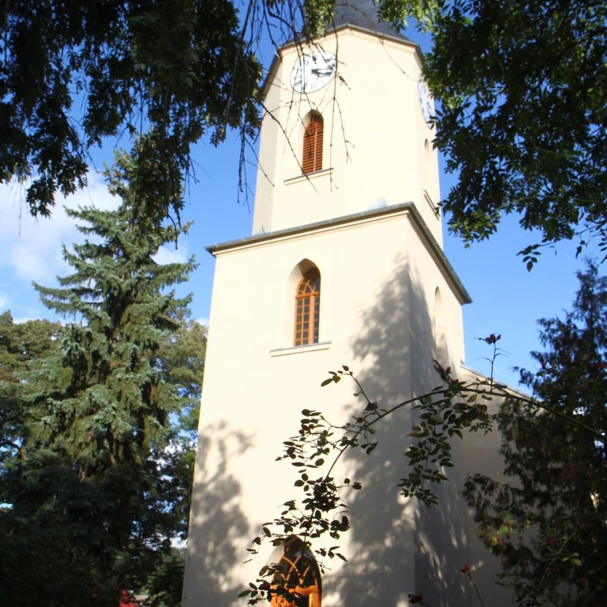

Tips from the Community

Portstewart Strand is a sweeping two-mile beach at the edge of town and forms a fitting finale (or start!) to the Causeway Coast Way. The viewpoint is from St. Patrick’s Well, a small spring long associated with local tradition.
1
0

Mountsandel Fort is a prehistoric fort dating to the Mesolithic period that was reused in the Irish Middle Ages (10th to 11th centuries). Located in Coleraine, County Derry, the fort consists of a huge grassy mound hollowed out in the middle, overlooking the River Bann. A must-see for lovers of mysterious monuments!
1
0

Lovely big wide windswept beach with fabulous views to Mussenden Temple (Downhill) and across to Donegal. You can take your car on to the beach (NT charges apply) or park in Portstewart and walk round the cliff path.
2
0

Locally known as 'The Strand,' this treasure of golden sand is located right next to the mouth of the River Bann and a field with 6,000-year-old sand dunes that have been declared as an Area of Special Scientific Interest.
2
0

You can walk along a well defined forest path from the small car park near Coleraine Courthouse and from the Fort, you can see great views of the Salmon Leap (Weir) and Coleraine.
1
0
Frequently Asked Questions
How many hiking trails are available around Spittle Hill?
There are over 50 hiking routes available around Spittle Hill, offering a variety of options for different preferences and skill levels. The komoot community has explored these trails over 1000 times.
Are there easy hiking trails suitable for beginners in Spittle Hill?
Yes, Spittle Hill is very beginner-friendly, with 36 out of 52 routes classified as easy. An excellent option for those starting out is the Mountsandel Fort – Mountsandel Fort loop from Coleraine, which is an easy 2.5-mile (4.0 km) path exploring historical surroundings.
What are the typical lengths of hiking trails around Spittle Hill?
The hiking trails around Spittle Hill are generally shorter, making them ideal for leisurely walks or half-day excursions. Many routes, like the Somerset Forest loop from Causeway Hospital, are around 2-3 miles (3-5 km) in length.
Are there circular walks available in Spittle Hill?
Yes, many of the trails in Spittle Hill are circular, allowing you to start and end at the same point. For example, the Mountsandel Fort – View of the River Bann loop from Causeway Hospital offers a scenic circular route.
Is there parking available near the hiking trails in Spittle Hill?
Parking is generally available at or near the starting points of many trails, particularly in areas close to towns like Coleraine or near popular attractions. It's advisable to check specific trailhead information for detailed parking options.
Are dogs allowed on the hiking trails in Spittle Hill?
Most trails in the Spittle Hill area are dog-friendly, but it's always recommended to keep dogs on a leash, especially near livestock or in nature reserves, and to clean up after them. Always respect local signage regarding pet access.
What kind of natural scenery can I expect to see while hiking in Spittle Hill?
Hikers in Spittle Hill can expect to enjoy diverse scenery, including tranquil river valleys, lush woodlands, and views of the River Bann. The terrain is generally gentle, characterized by low elevation gains.
Are there any historical landmarks or attractions to see along the hiking trails?
Yes, the area is rich in history. Many trails pass by significant sites such as Mountsandel Fort, one of Europe's oldest known settlements. Further afield, you can explore historical sites like Dunluce Castle Ruins or Downhill House Ruins.
What do other hikers enjoy the most about hiking in Spittle Hill?
The komoot community highly rates hiking in Spittle Hill, with an average score of 4.7 stars from over 100 reviews. Hikers frequently praise the area's accessible trails, scenic river views, and the blend of natural beauty with historical interest.
Are there any challenging hikes for experienced hikers in Spittle Hill?
While the majority of trails are easy, there are a few routes that offer a moderate challenge for more experienced hikers. Out of the 52 routes, 14 are classified as moderate and 2 as difficult, providing options for those seeking a more strenuous experience.
Can I find viewpoints with panoramic vistas in the Spittle Hill area?
Yes, the region offers several spots with excellent views. While hiking, you'll often encounter scenic overlooks of the River Bann. For broader vistas, consider visiting Magheracross Viewpoint, which is a popular spot in the wider area.
Are there options for family-friendly walks in Spittle Hill?
Absolutely. The gentle terrain and numerous easy, shorter routes make Spittle Hill ideal for families with children. Trails like the Motte and Bailey loop from Coleraine offer an engaging and manageable experience for all ages.
Most popular attractions around Spittle Hill

Get inspired with the komoot mobile app


Explore more
Browse the best Hikes in other regions.
