The best road cycling routes around Bühlerzell
4.6
(335)
4,304
riders
228
rides
Road cycling routes around Bühlerzell traverse a landscape characterized by rolling hills, green meadows, and extensive forests within the Schwäbisch Hall district. The region is situated at the foot of the Hohenloher Ebene, offering varied terrain that includes the Kocher valley and the wooded ridges of the Limpurg mountains. Cyclists encounter engaging inclines and descents, alongside riverine paths along the Kocher and Jagst rivers.
Best road cycling routes around Bühlerzell
- The most popular road cycling route is Scenic Road in…
Last updated: October 7, 2026
4.6
(7)
40
riders
Easy road ride. Great for any fitness level. Mostly well-paved surfaces and easy to ride.
4.5
(4)
81
riders
41.6km
01:46
340m
340m
Moderate road ride. Good fitness required. Mostly well-paved surfaces and easy to ride.

5.0
(1)
27
riders
Moderate road ride. Great for any fitness level. Some segments of this route may be unpaved and difficult to ride.
5.0
(1)
42
riders
52.0km
02:24
550m
550m
Moderate road ride. Good fitness required. Mostly well-paved surfaces and easy to ride.
9
riders
35.1km
01:43
380m
380m
Moderate road ride. Good fitness required. Mostly well-paved surfaces and easy to ride.
Get access to more routes and recommendations from other explorers.
Already have an account?
Our route recommendations are based on thousands of hikes, rides, and runs completed by other people on komoot.
Start today with a free account
Your next adventure awaits.
Popular around Bühlerzell
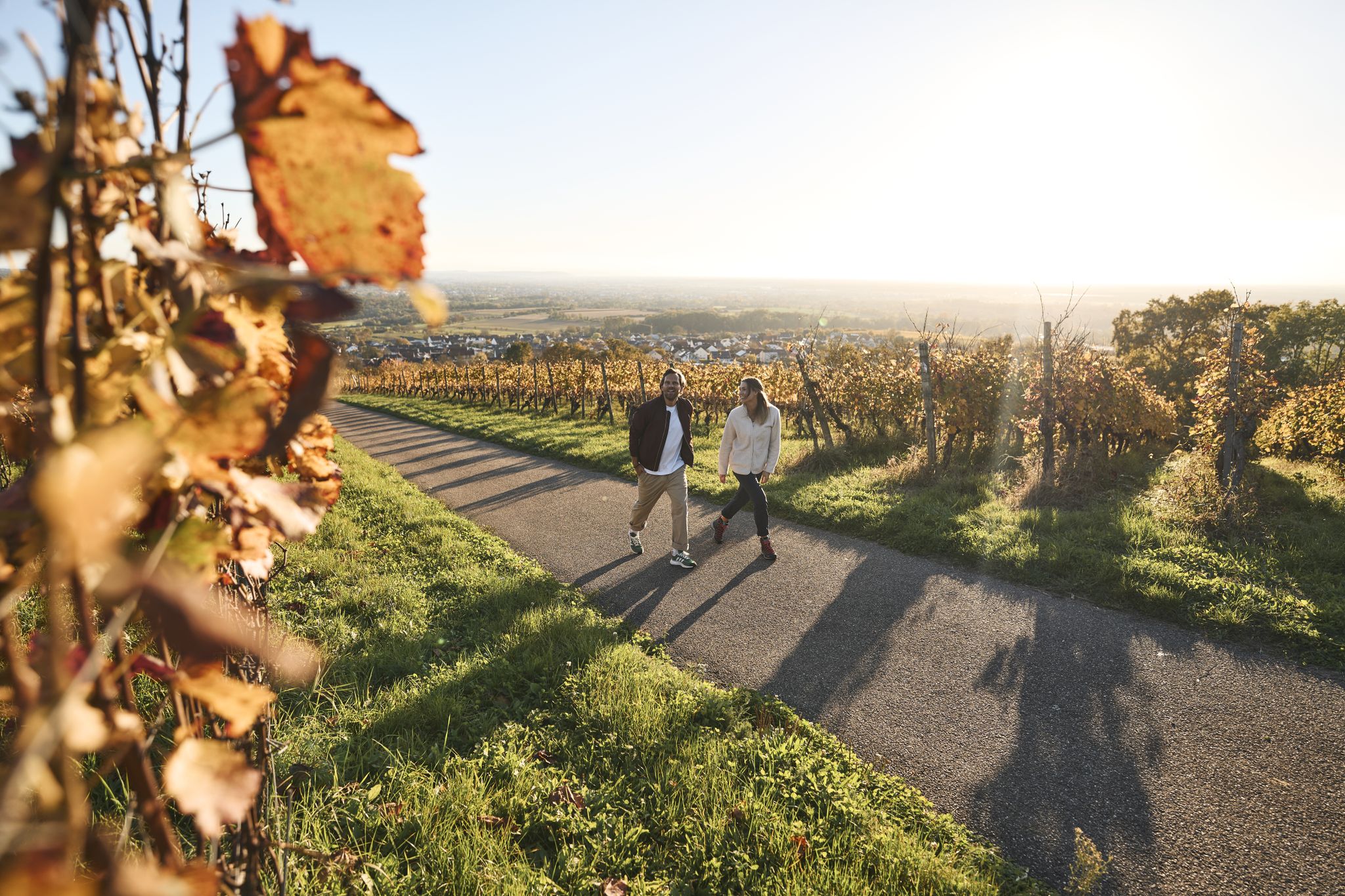
Fine drops and local cuisine – gourmet hiking in the Süden ganz oben
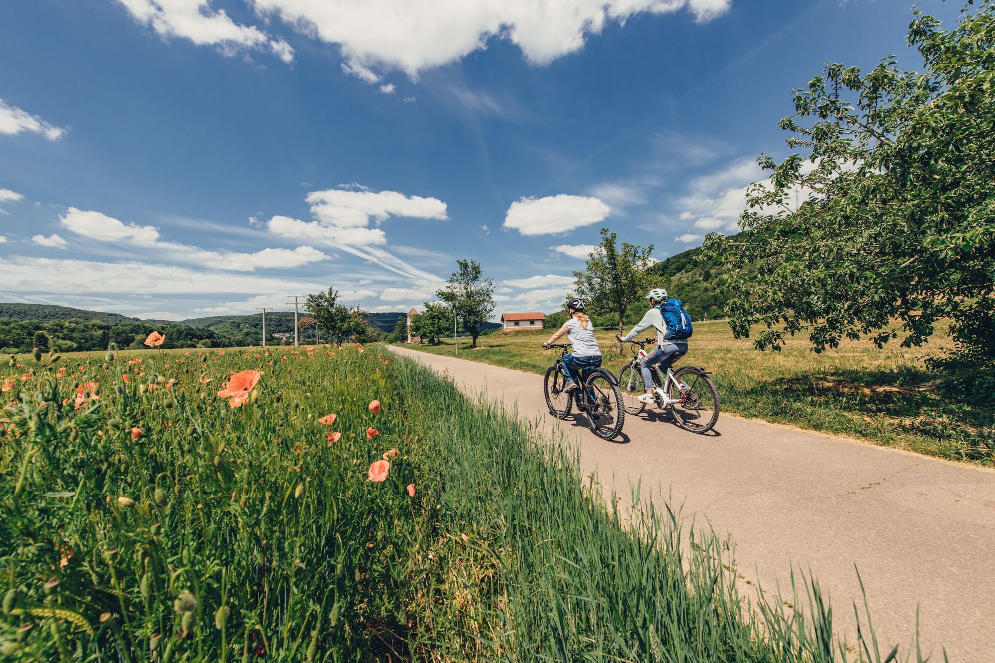
Real insider tips for cycle paths in northern Baden-Württemberg
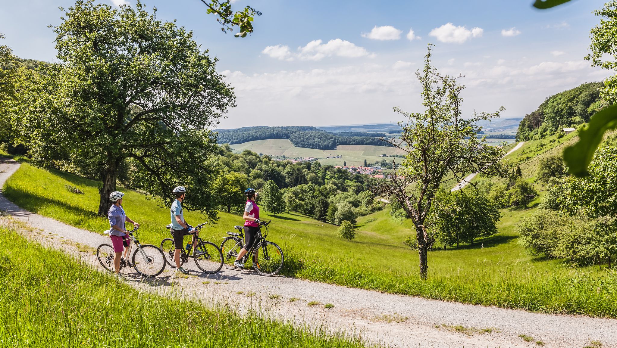
Between Odenwald & vineyards – cycling along Kocher, Jagst & Neckar
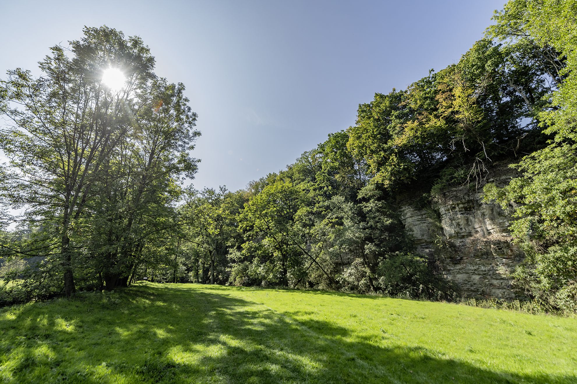
Wandern im Hohenloher Bühlertal – Auf Entdeckerpfaden durchs Naturidyll
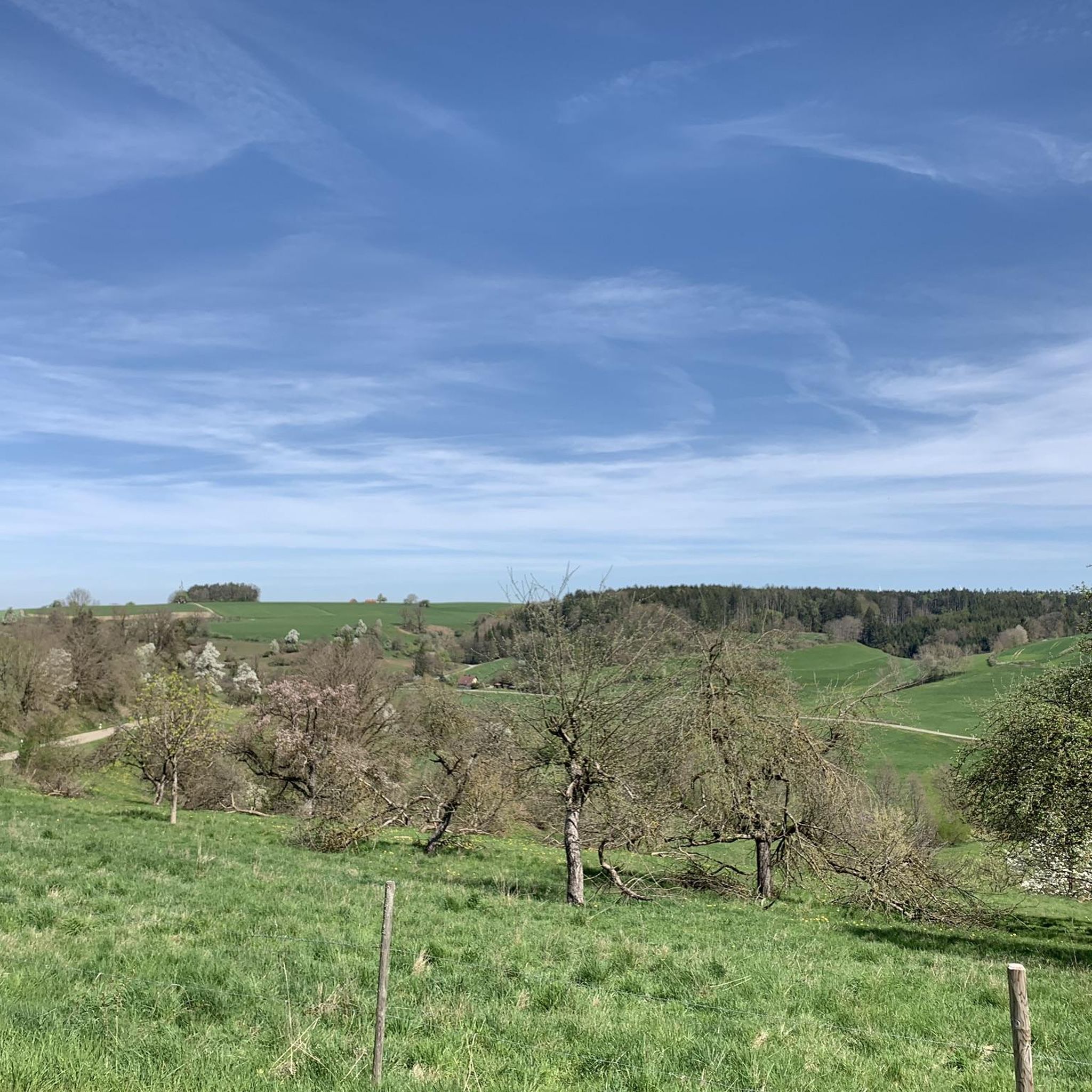
Cycling around Bühlerzell
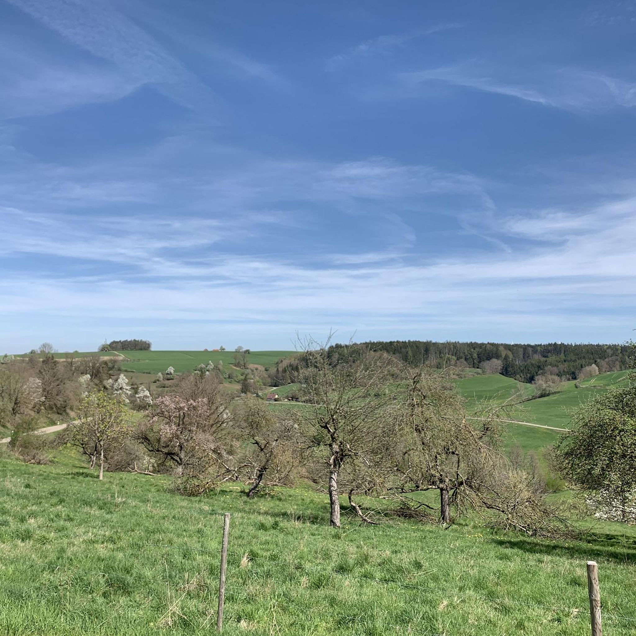
Hiking around Bühlerzell
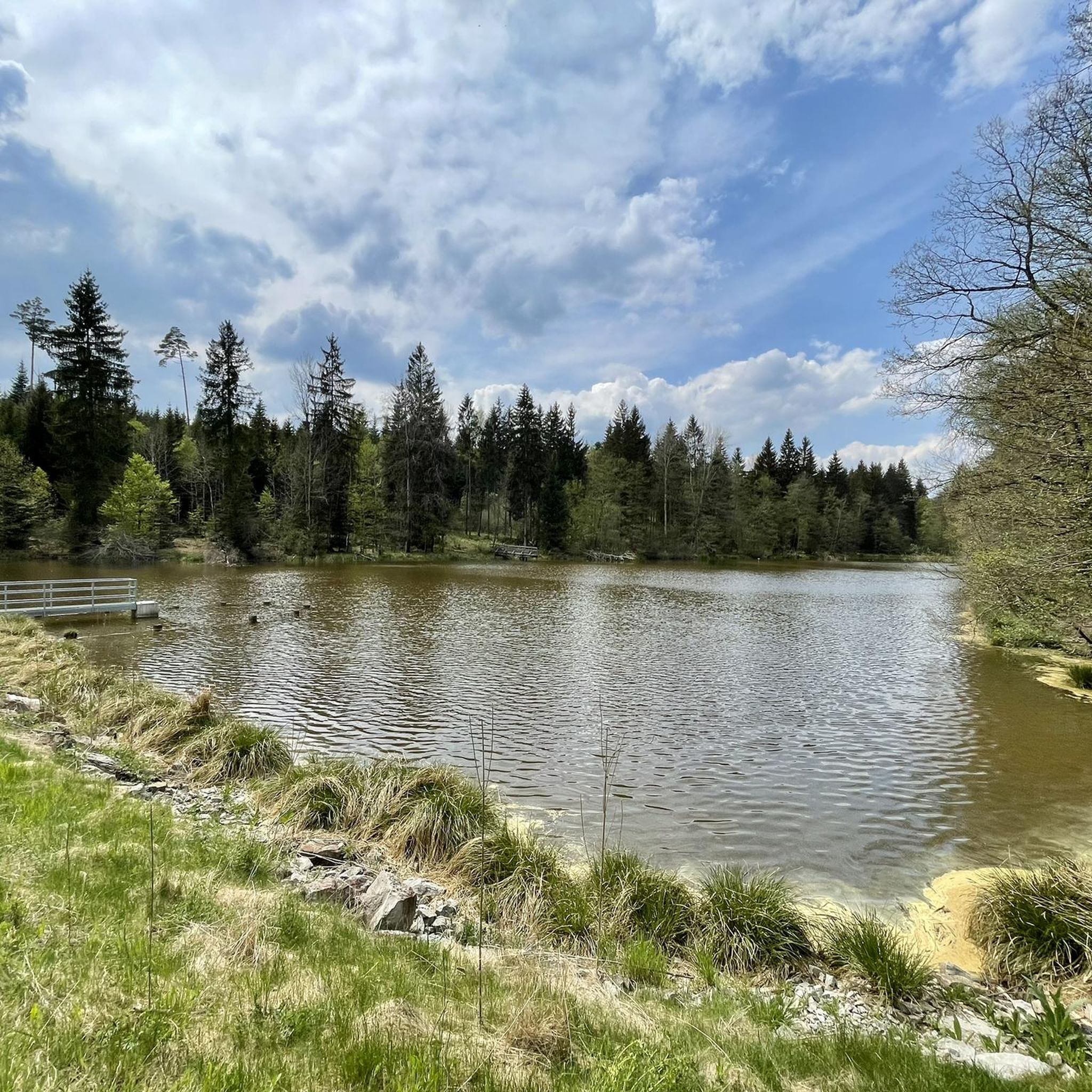
Running Trails around Bühlerzell
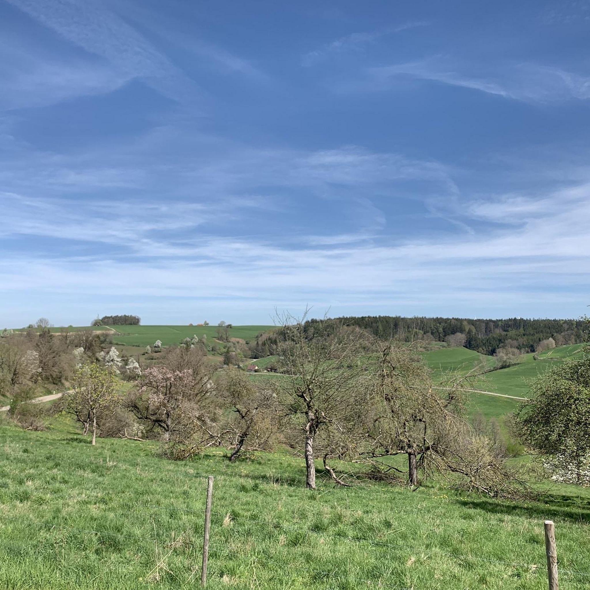
MTB Trails around Bühlerzell

Gravel biking around Bühlerzell
Other adventures around Bühlerzell


Tips from the Community

An impressive castle perched just above Untergröningen.
0
0

Beautiful view of the Kocher Valley towards Westheim
1
0

Untergröningen Castle near Abtsgmünd stands on a mountain above the Kocher Valley. Originally built in the 16th century in the Renaissance style, it was remodeled in the 18th century in the Baroque style.
2
0


The neo-Gothic basilica was built in 1877/79 from ashlar masonry. Its nave, consisting of a central nave and two narrow side aisles, is supported by buttresses. The choir flanking tower on the south wall of the recessed, three-sided choir to the east of the central nave is essentially the late Gothic choir tower of a previous building. The upper part of the tower houses the clock tower and the belfry, in which three church bells have hung since 2007. Atop it sits an eight-sided, bent-roofed spire. The restored church furnishings are almost completely preserved. The organ was built in 1956 as Opus 629 by Späth Orgelbau.
1
1
The Roman Catholic parish church of St. Mary is located in Bühlerzell, a municipality in the Schwäbisch Hall district of Baden-Württemberg. The building is registered as a historic monument with the Baden-Württemberg State Office for Monument Preservation. The parish belongs to the Schwäbisch Hall deanery in the Rottenburg-Stuttgart diocese.
1
1

A large art market takes place there before Christmas.
2
1

The beautiful town hall is, alongside the castle, the absolute highlight of Obersontheim—please forgive this superlative. Driving along the main street through Obersontheim, you'll automatically pass it.
2
2
Frequently Asked Questions
How many road cycling routes are available in Bühlerzell?
Bühlerzell offers a wide selection of road cycling routes, with over 260 tours available. These routes cater to various skill levels, ranging from easy to difficult.
What is the typical terrain for road cycling in Bühlerzell?
The region around Bühlerzell is characterized by a diverse landscape, ideal for road cycling. You'll encounter rolling hills, picturesque valleys, and extensive forests. Routes often follow riverine paths along the Kocher and Jagst rivers, providing a mix of engaging inclines, descents, and scenic flat sections.
Are there road cycling routes suitable for beginners in Bühlerzell?
Yes, Bühlerzell has a good selection of easy road cycling routes, with 35 options available. An example is the Scenic Road in Bühleral loop from Bühlertann, which is 19.3 miles (31.1 km) long and offers scenic views through the Bühleral area.
Are there challenging road cycling routes for experienced cyclists in Bühlerzell?
For experienced cyclists seeking a challenge, Bühlerzell offers 34 difficult routes. Many moderate routes also feature significant elevation gains. For instance, the Einkorn Climb – Hinterruhlberg Chapel loop from Bühlertann is a moderate 31.8 miles (51.2 km) route with over 600 meters of elevation gain, including the notable Einkorn Climb.
What natural features can I expect to see along the road cycling routes?
Road cycling in Bühlerzell allows you to experience diverse natural beauty. You'll ride through green meadows, quiet forest areas, and along the scenic Kocher and Jagst rivers. The region also features idyllic valleys, ponds, and lakes, with notable viewpoints like the 'Schafstallblick' offering panoramic views.
Are there any cultural landmarks or attractions to visit during a road cycling tour?
Yes, you can incorporate cultural stops into your road cycling tours. The region's well-signposted paths often lead past historic half-timbered houses. While not directly on every route, nearby attractions like Langenburg Castle and Schöntal Monastery are popular destinations that can be included in longer itineraries. You might also encounter the Ruins of St. Bartholomäus Church, Anhausen.
Are there waterfalls along the road cycling routes in Bühlerzell?
While the primary focus of road cycling routes is the open road, the broader region around Bühlerzell does feature several waterfalls that could be visited as part of a longer tour or detour. Notable waterfalls include the Waterfall in Naturpark Schwäbisch-Fränkischer Wald, Wimbach Waterfall, Nägelesbach Waterfall, and Sulzdorf Waterfalls.
Can I find circular road cycling routes in Bühlerzell?
Yes, Bühlerzell is an excellent starting point for various circular road cycling tours. The region offers varied circular routes that traverse the Kocher valley and the wooded ridges of the Limpurg mountains. Many routes, like the Einkorn Climb – Geifertshofen Village Cheese Dairy loop from Bühlertann, are designed as loops.
What do other road cyclists enjoy the most about road cycling in Bühlerzell?
The road cycling routes in Bühlerzell are highly rated by the komoot community, with an average score of 4.6 stars from over 260 reviews. Cyclists often praise the varied terrain, the scenic views through valleys and forests, and the well-maintained, well-signposted paths that make navigation straightforward.
Are there any long-distance road cycling trails that pass through Bühlerzell?
Yes, Bühlerzell is part of a larger network of cycling routes. The longer 'Kocher-Jagst-Trail,' a 200 km long-distance trail through the Hohenlohe region, passes through the area, offering extensive cycling opportunities. Additionally, the 'LimpurgTour' (87 km) and the 'Wälder route' (117 km) are dedicated routes in the vicinity.
When is the best time of year for road cycling in Bühlerzell?
The best time for road cycling in Bühlerzell is generally during the warmer months, from spring through autumn. During this period, the weather is most favorable for enjoying the scenic landscapes, and the paths are in optimal condition. Summer offers long daylight hours, while spring and autumn provide pleasant temperatures and vibrant natural colors.
Are there options for food and drink stops along the road cycling routes?
While specific cafes and pubs are not listed for every route, the region's picturesque villages often offer opportunities for breaks. You might find local eateries or snack stations. For example, the Einkorn Climb – Geifertshofen Village Cheese Dairy loop from Bühlertann passes by a village cheese dairy, and the Lamm Inn Brewery – Geifertshofen Village Cheese Dairy loop from GVV Oberes Bühlertal suggests a brewery stop.
Most popular routes around Bühlerzell
Most popular attractions around Bühlerzell

Get inspired with the komoot mobile app


Explore more
Browse the best Road cycling routes in other regions.
