The best walks and hikes around Lake Radomno
4.6
(51)
663
hikers
59
hikes
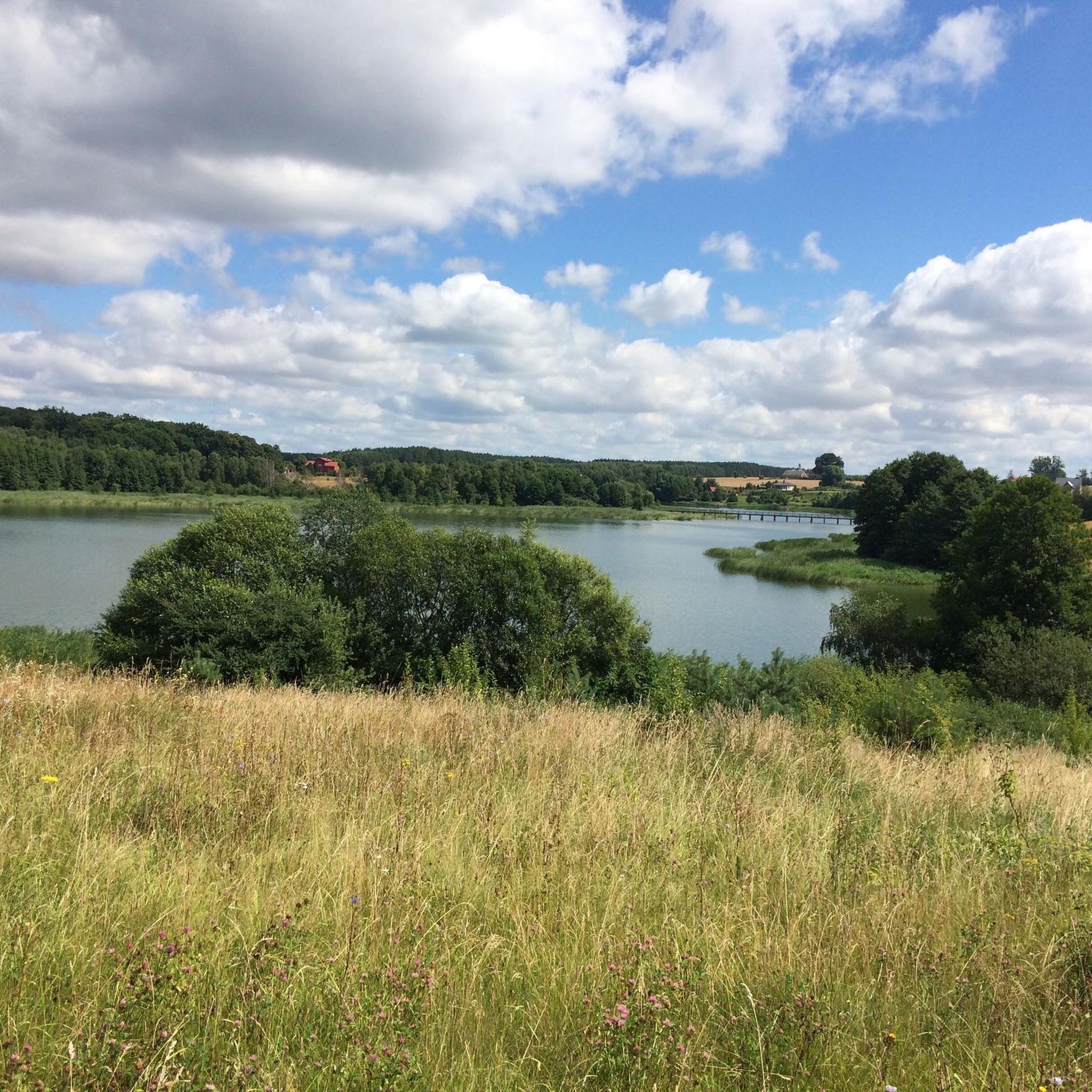
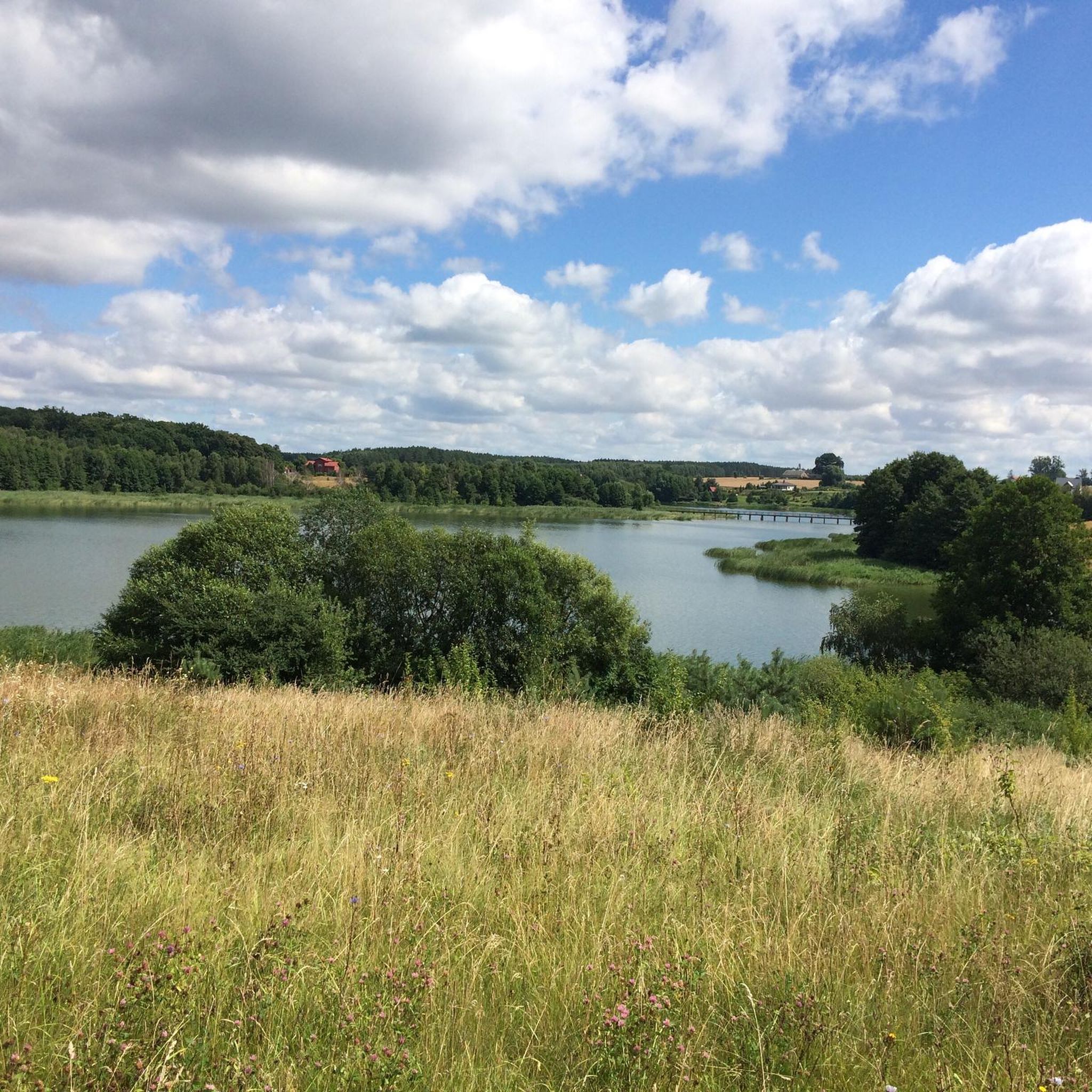
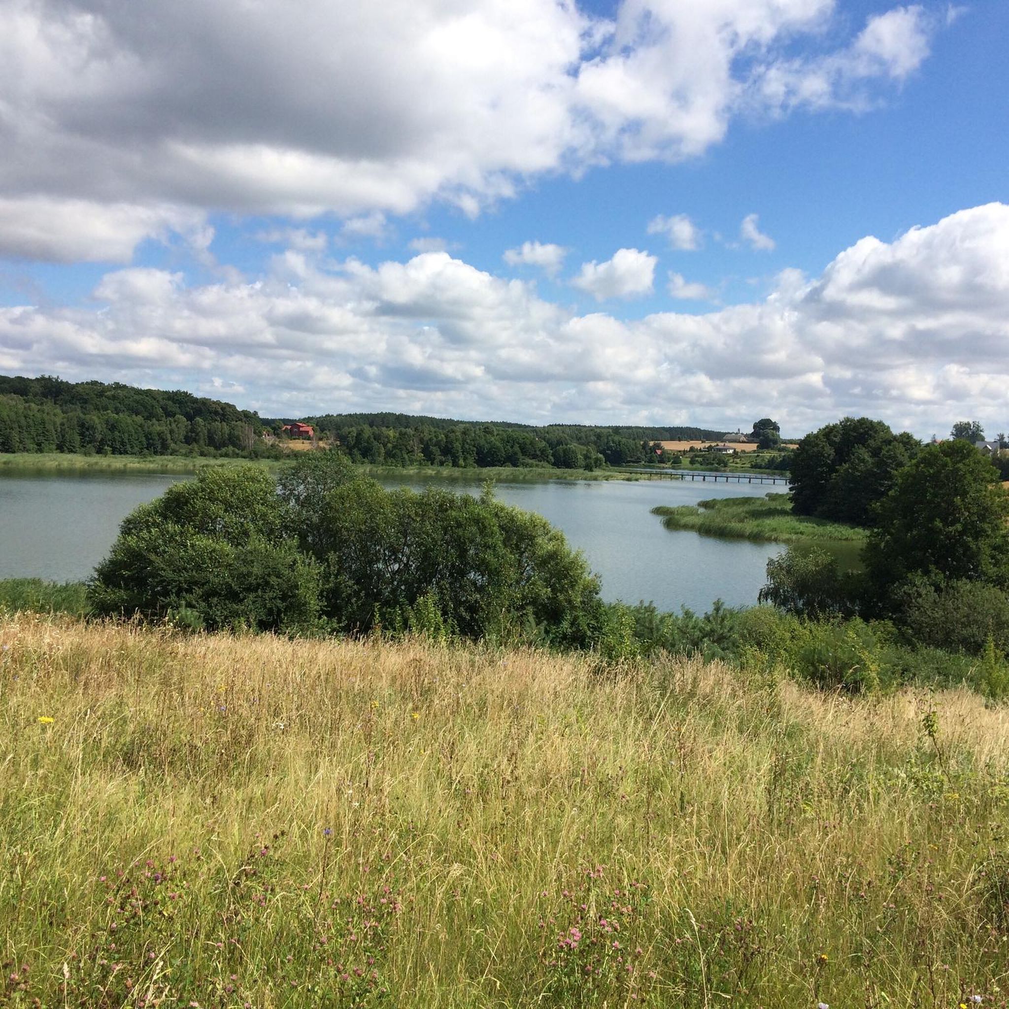
Hiking around Lake Radomno offers diverse terrain shaped by its glacial origin, featuring a highly fragmented lake with three elongated bays and a wooded island. The northern shores are characterized by forests, while the southern areas transition into arable fields, providing varied scenery for hikers. The Struga River, flowing from the lake, adds a natural feature with its meandering course through reeds and dense forests. This region provides a network of trails that showcase both the lake's unique physical characteristics…
Last updated: October 15, 2026
21
hikers
10.9km
02:50
70m
70m
Moderate hike. Good fitness required. Easily-accessible paths. Suitable for all skill levels.
4.8
(4)
10
hikers
5.49km
01:25
30m
30m
Easy hike. Great for any fitness level. Easily-accessible paths. Suitable for all skill levels.

5.0
(1)
13
hikers
10.1km
02:38
70m
70m
Moderate hike. Good fitness required. Easily-accessible paths. Suitable for all skill levels.
4.0
(1)
11
hikers
8.38km
02:12
60m
60m
Moderate hike. Good fitness required. Easily-accessible paths. Suitable for all skill levels.
3.7
(3)
9
hikers
16.0km
04:10
110m
110m
Moderate hike. Good fitness required. Easily-accessible paths. Suitable for all skill levels.
Get access to more routes and recommendations from other explorers.
Already have an account?
Our route recommendations are based on thousands of hikes, rides, and runs completed by other people on komoot.
Start today with a free account
Your next adventure awaits.


Tips from the Community


Frequently Asked Questions
How many hiking trails are available around Lake Radomno?
There are over 50 hiking routes around Lake Radomno, offering a variety of experiences. These trails are highly rated by the komoot community, with an average score of 4.5 stars.
What types of terrain can I expect on hikes around Lake Radomno?
The terrain around Lake Radomno is diverse due to its glacial origin. You'll find paths winding through forests, along the lake's fragmented shoreline with its three elongated bays, and across open arable fields. The Struga River also adds a natural feature with its meandering course through reeds and dense forests.
Are there easy hiking options suitable for beginners or casual walkers?
Yes, Lake Radomno offers many accessible options. Approximately 40 of the available routes are rated as easy. An example of an easy route is the Lake Mały Jeziorak loop from Iława, which is just over 3 km long.
Are there any specific marked trails in the Lake Radomno area?
Yes, the region features two notable marked tourist routes. The Yellow Trail (TO-231), part of the extensive European E-11 trail, passes along the western shores of Lake Skarlin and through villages before reaching Lake Radomno. The Red Trail (TO-2215) connects Nowe Miasto Lubawskie directly with Radomno, offering views of the Drwęca Valley.
What natural features or viewpoints can I discover while hiking?
Hikers can enjoy the unique glacial landscape of Lake Radomno itself, with its fragmented shape, three bays, and a picturesque wooded island. The surrounding forests and open fields provide varied scenery, and the Struga River offers views of unspoiled nature as it meanders through reeds and dense woodlands.
Are there any circular hiking routes around Lake Radomno?
Yes, many routes around Lake Radomno are designed as loops. For instance, the Iława Główna Railway Station – Mill Island loop from Iława Główna is a popular circular trail, as is the Iława City Hall. – Promenade loop from Iława Główna.
Is Lake Radomno a good destination for family-friendly hikes?
The diverse landscape and numerous easy to moderate trails make Lake Radomno suitable for families. The varied scenery, including forests and lake views, can keep younger hikers engaged. Many of the shorter, easier loops are ideal for family outings.
What is the best time of year to go hiking around Lake Radomno?
The region's natural beauty, with its forests and lake, is enjoyable across seasons. Spring and autumn offer pleasant temperatures and vibrant colors, while summer provides opportunities to combine hiking with other outdoor activities. Winter hiking is also possible, though conditions may vary.
Are there options for longer, more challenging hikes?
While most routes are easy to moderate, there are longer options for those seeking more challenge. For example, the Iława Główna railway station – Silmsee loop from Iława Główna is a moderate 16.2 km trail that typically takes over 4 hours to complete, leading through varied landscapes.
What do other hikers say about the trails in Lake Radomno?
The hiking trails around Lake Radomno are highly regarded by the komoot community, holding an average rating of 4.5 out of 5 stars from over 40 reviews. Hikers frequently praise the diverse scenery, which includes picturesque lake views, tranquil forests, and charming rural landscapes.
Is there public transport available to reach the hiking areas around Lake Radomno?
The Red Trail (TO-2215) conveniently begins near the former PKP Nowe Miasto Lubawskie station, suggesting public transport access to that starting point. For other trailheads, local public transport options may be available, or personal vehicle access might be more practical.
Are there any amenities like cafes or accommodation near the hiking trails?
While specific amenities directly on the trails are limited to preserve the natural environment, the nearby settlements like Nowe Miasto Lubawskie and Iława, where some routes originate, offer various cafes, restaurants, and accommodation options for hikers.
Most popular routes around Lake Radomno

Get inspired with the komoot mobile app


Explore more
Browse the best Hikes in other regions.
