The best walks and hikes around Węgielsztyn
4.8
(22)
385
hikers
42
hikes
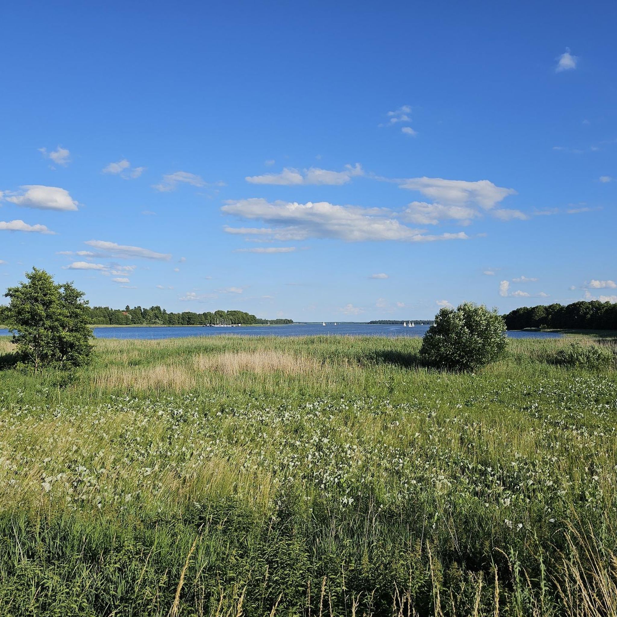
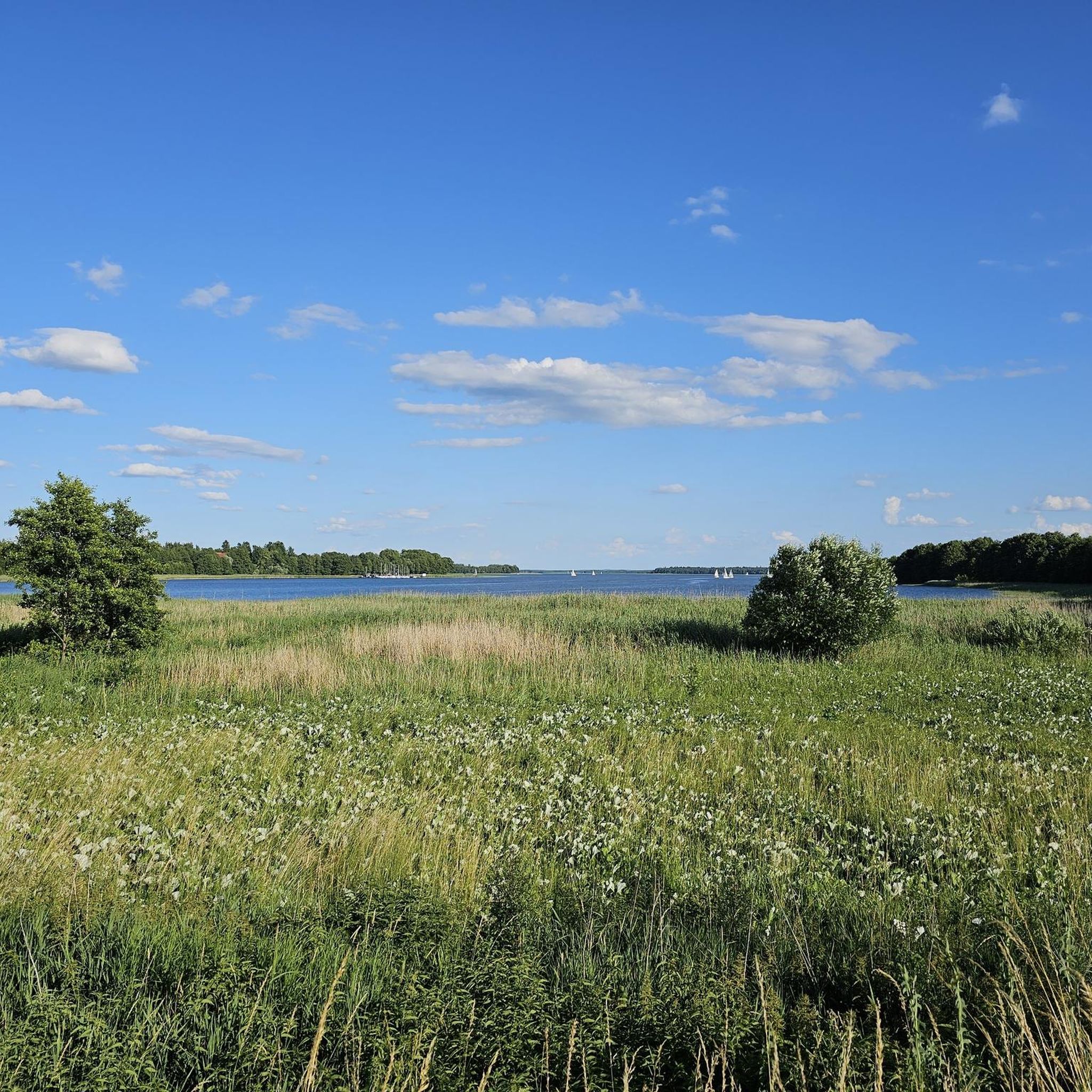
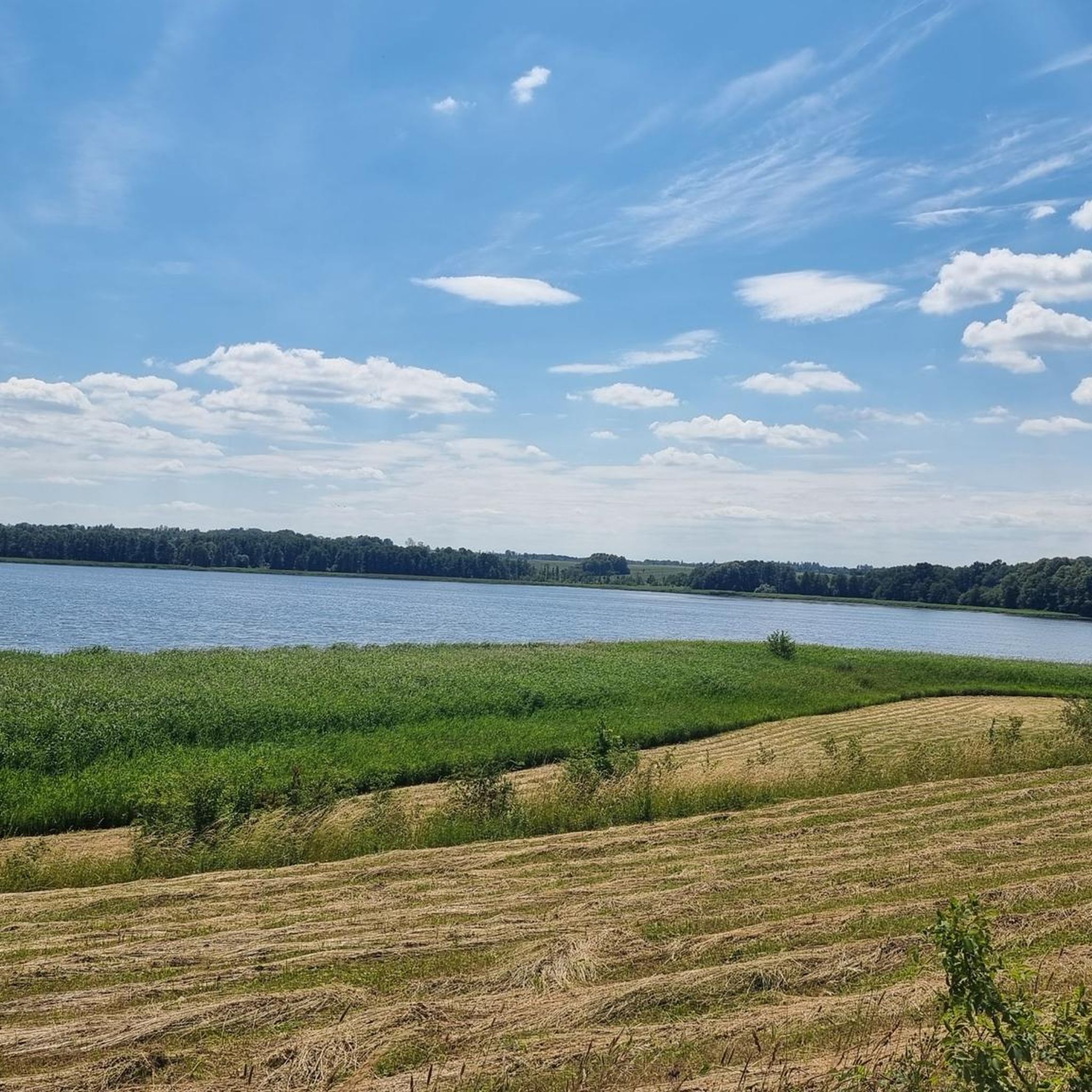
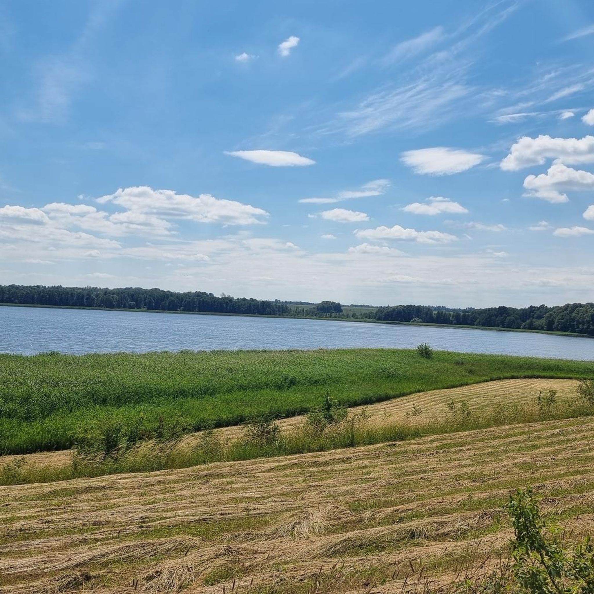
Hiking trails around Węgielsztyn traverse a post-glacial landscape within Poland's Masurian Lake District. The region is characterized by abundant forests, numerous interconnected lakes, and gentle hills. Węgielsztyn is situated on the eastern shore of Jezioro Węgielsztyńskie, offering routes along its perimeter and through adjacent woodlands. The terrain includes historical earthworks and paths along canals and rivers.
Best hiking trails around Węgielsztyn
- The most popular hiking route is Leśniewo Górne Lock loop from Przystań, a 7.1 miles (11.5 km) trail…
Last updated: June 25, 2026
5.0
(1)
10
hikers
11.4km
02:57
60m
60m
Moderate hike. Good fitness required. Easily-accessible paths. Suitable for all skill levels.
3
hikers
11.5km
02:59
60m
60m
Moderate hike. Good fitness required. Easily-accessible paths. Suitable for all skill levels.

Sign up for free
26
hikers
1.60km
00:25
10m
10m
Easy hike. Great for any fitness level. Easily-accessible paths. Suitable for all skill levels.
7
hikers
10.1km
02:36
50m
50m
Moderate hike. Good fitness required. Easily-accessible paths. Suitable for all skill levels.
5.0
(6)
18
hikers
Moderate hike. Good fitness required. Easily-accessible paths. Suitable for all skill levels.
Get access to more routes and recommendations from other explorers.
Sign up for free
Already have an account?
Our route recommendations are based on thousands of hikes, rides, and runs completed by other people on komoot.
Start today with a free account
Your next adventure awaits.
Login or Signup

Tips from the Community

Good access to the bunkers from the MPR route
0
0

You can't really get any further here, so back we go and along the road.
0
0
You can walk around behind the Fürstenau upper lock, but you should wear sturdy shoes. It can be a bit slippery on the slope. Caution: Pigeons live in the lock; don't be alarmed, they only flutter around when disturbed.
0
0

No entry, as on any railway bridge ;-)
0
0

To get from the left side of the canal to the right, you have to carry bicycles or other devices up a steep embankment.
0
0

An old disused railway bridge, located much higher than the single track along the Masurian Canal.
0
0
Zwierzyniecki Róg - Trygort is a beautiful beach with a bar and piers. Across the street is a camping site and clean container toilets.
0
0

Quite impressive, after such a long time. The 5 zloty entrance fee is fine.
0
0
Frequently Asked Questions
How many hiking trails are available around Węgielsztyn?
There are over 30 hiking routes around Węgielsztyn, catering to various preferences and skill levels. You'll find a good mix of easy strolls and more moderate treks through the region's diverse landscape.
What kind of terrain can I expect on hikes in Węgielsztyn?
The terrain around Węgielsztyn is characterized by its post-glacial landscape within the Masurian Lake District. You can expect diverse paths through abundant forests, along the shores of numerous interconnected lakes like Jezioro Węgielsztyńskie, and over gentle hills. Some routes also feature historical earthworks and follow canals or rivers.
Are there easy hiking trails suitable for beginners or casual walkers?
Yes, Węgielsztyn offers plenty of easy hiking options. More than 20 of the available routes are classified as easy. For example, the Paid Private Parking – View of the Lower Lock loop from Kaczory is a short, easy path offering views of the Lower Lock, taking about 25 minutes to complete.
What are some notable natural attractions or landmarks to see while hiking in Węgielsztyn?
Hikers can enjoy the serene beauty of Jezioro Węgielsztyńskie, explore paths along the Węgorzewo Canal and Węgorapa River, known for their pleasant walking and opportunities to observe waterfowl. The region also features remnants of Old Prussian defensive earthworks, adding a historical dimension to your walk.
Are there any circular hiking routes in the Węgielsztyn area?
Yes, many of the trails around Węgielsztyn are designed as circular routes, allowing you to start and end at the same point. A popular moderate option is the Leśniewo Górne Lock loop from Przystań, which is about 7.1 miles (11.5 km) long and explores the area around the lock.
What do other hikers enjoy most about hiking in Węgielsztyn?
The area is highly rated by the komoot community, with an average score of 4.8 stars from over 20 reviews. Hikers often praise the peaceful lakeside paths, the dense woodlands, and the blend of natural beauty with historical features found along the routes.
Is Węgielsztyn suitable for family-friendly hikes?
Absolutely. With a significant number of easy routes, Węgielsztyn is well-suited for families. The gentle terrain and scenic lakeside paths provide enjoyable experiences for all ages. Shorter, easy loops are ideal for walks with children.
Can I bring my dog on the hiking trails in Węgielsztyn?
Generally, the natural trails and forest paths around Węgielsztyn are suitable for dogs, provided they are kept under control, especially in areas with wildlife or near other hikers. Always ensure to follow local regulations regarding pets in natural areas.
What is the best time of year to go hiking in Węgielsztyn?
The spring, summer, and early autumn months (May to October) are generally the best times for hiking in Węgielsztyn. During these periods, the weather is pleasant, the landscapes are vibrant, and all trails are typically accessible. Summer offers lush greenery and lake activities, while autumn brings beautiful foliage.
Are there any longer, more challenging routes for experienced hikers?
While Węgielsztyn is known for its accessible trails, there are some longer, moderate options. For instance, the Leśniewo Górne Lock – Masurian Canal loop from Leśniewo is a moderate 11.5-mile (18.5 km) route that offers a more extended exploration of the region's canals and locks.
Are there any viewpoints along the hiking trails in Węgielsztyn?
While specific designated viewpoints are not extensively highlighted, the region's post-glacial landscape, with its gentle hills and numerous lakes, naturally offers many scenic vistas. Paths along Jezioro Węgielsztyńskie and routes like the Paid Private Parking – View of the Lower Lock loop from Kaczory provide picturesque views of the water and surrounding nature.
Is public transport available to access hiking trails in Węgielsztyn?
Węgielsztyn is a village within the Gmina Węgorzewo. While local bus services might connect to nearby towns, direct public transport to specific trailheads might be limited. It's advisable to check local bus schedules or consider personal transport for maximum flexibility when accessing the hiking routes.
Where can I find parking near the hiking trails in Węgielsztyn?
Parking availability can vary depending on the specific trailhead. For routes starting from populated areas or attractions, designated parking spots are often available. For example, the Paid Private Parking – View of the Lower Lock loop from Kaczory explicitly mentions parking in its name, indicating options near that starting point.
Most popular routes around Węgielsztyn

Get inspired with the komoot mobile app


Explore more
Browse the best Hikes in other regions.
