The best cycling routes around Navamorcuende
5.0
(1)
352
riders
57
rides
Touring cycling around Navamorcuende offers routes through a landscape characterized by hills, mountain passes, and river valleys. The region features varied terrain, including areas with significant elevation changes and scenic viewpoints. Water features such as reservoirs and historical elements like medieval bridges are also present along many routes.
Best touring cycling routes around Navamorcuende
- The most popular touring cycling route is Puerto de Pedro Bernardo – Serranillos Pass loop from Pedro Bernardo, a 38.1 miles (61.3 km) trail that…
Last updated: October 5, 2026
11
riders
71.3km
06:26
1,350m
1,350m
Hard bike ride. Very good fitness required. You may need to push your bike for some segments of this route.
7
riders
52.4km
03:57
1,310m
1,320m
Hard bike ride. Very good fitness required. Mostly paved surfaces. Suitable for all skill levels.

6
riders
Moderate bike ride. Good fitness required. Mostly paved surfaces. Suitable for all skill levels.
7
riders
63.1km
05:40
1,380m
1,380m
Hard bike ride. Very good fitness required. Mostly paved surfaces. Suitable for all skill levels.
7
riders
Hard bike ride. Very good fitness required. Mostly paved surfaces. Suitable for all skill levels.
Get access to more routes and recommendations from other explorers.
Already have an account?
Our route recommendations are based on thousands of hikes, rides, and runs completed by other people on komoot.
Start today with a free account
Your next adventure awaits.
Popular around Navamorcuende



Tips from the Community

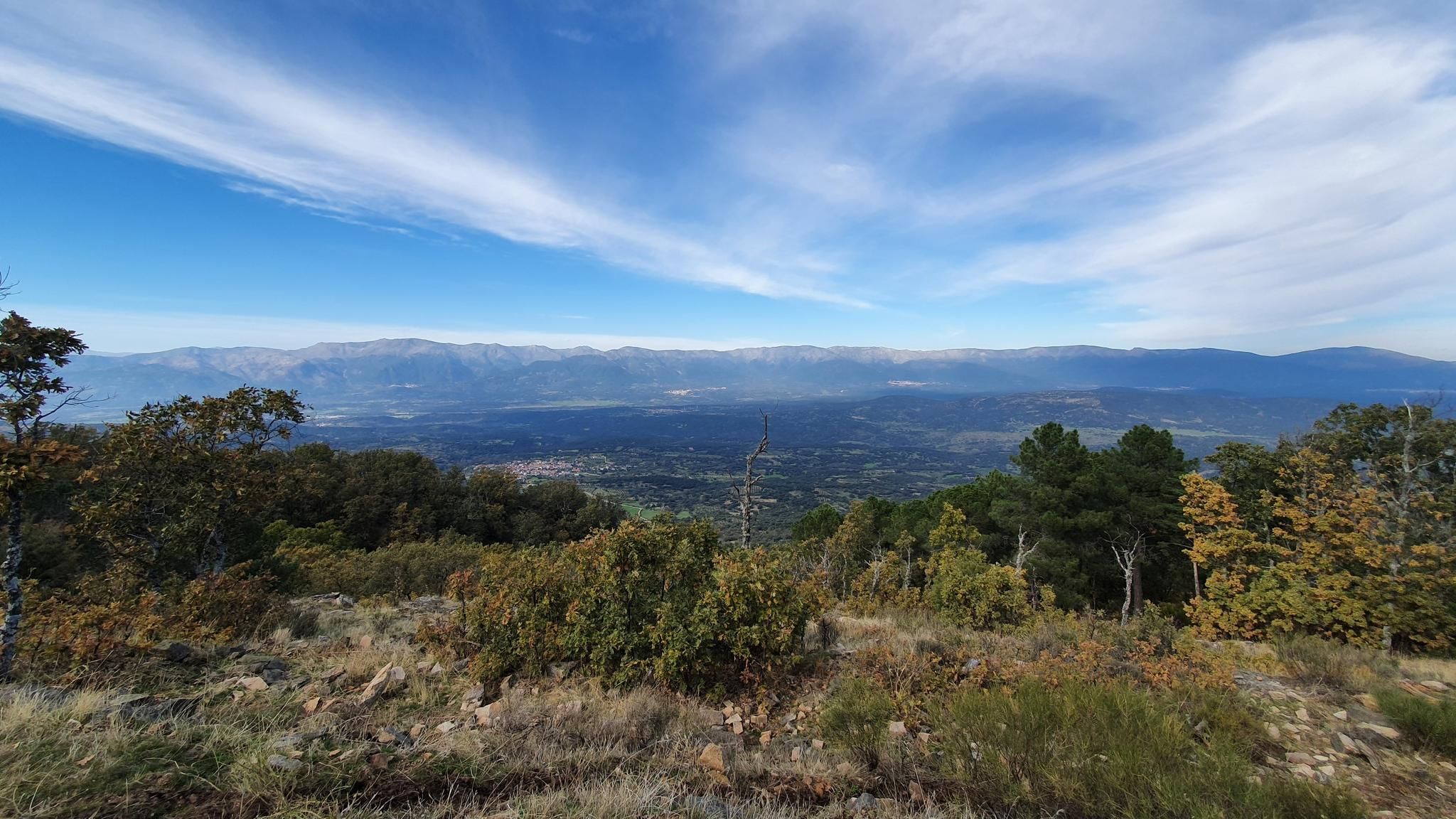
The Mijares Pass is one of the great mountain passes in the Sierra de Gredos, highly prized by cyclists for its length, elevation gain, and scenic beauty. Maximum gradient: 11% (on short ramps before Mijares). There are several steep sections in the villages and near the Horcajo area, as well as another one 2 km from the summit.
1
0

You cool down very quickly up here, especially when it's windy.
7
0

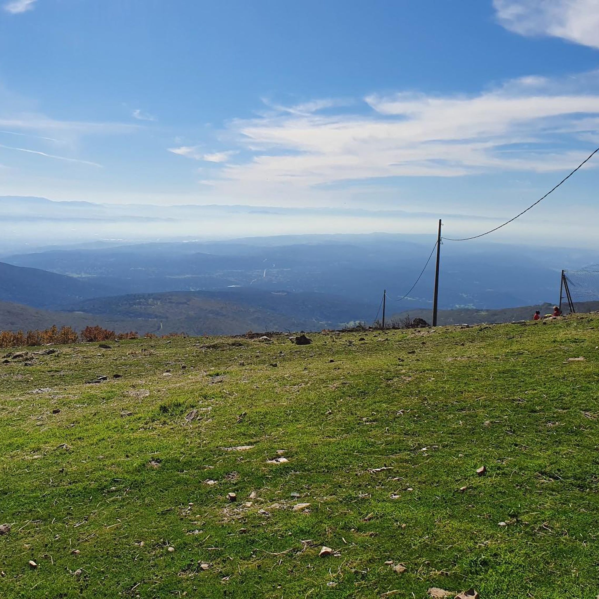
Highest point 1580 on this route, there is a large parking lot to enjoy the view.
16
0

El Real de San Vicente is located at the foot of the mountain range from which it takes its name, in a prime setting for outdoor activities. Its location is associated with military settlements in the 11th and 12th centuries. Remains of its millennia-long occupation are preserved in the village.
0
0
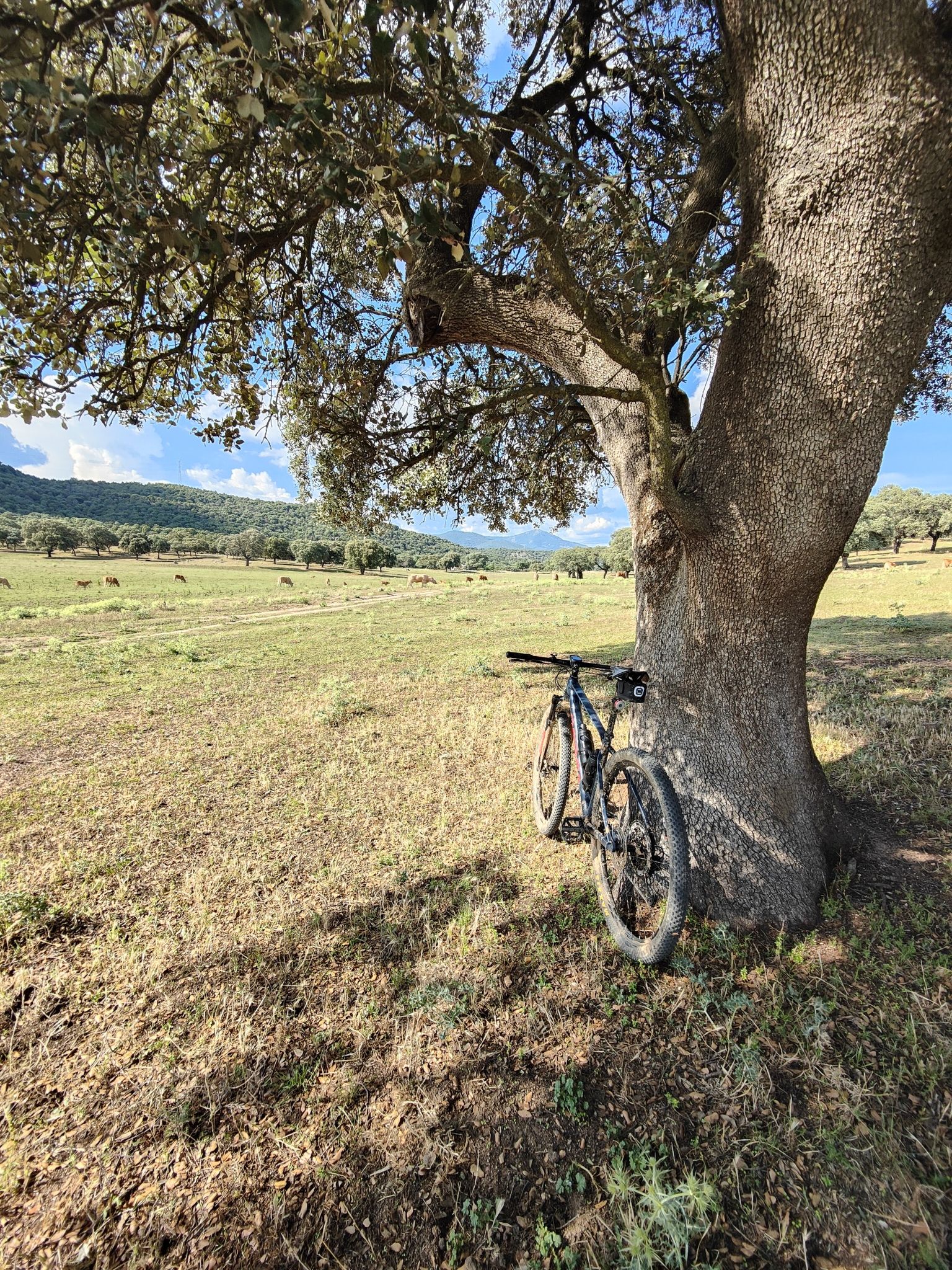
Cervera de los Montes is a town in Toledo located in the foothills of the Sierra de San Vicente mountains, in the middle of the dehesa (pasture). Its traditional town center is very well preserved and exudes a distinctly rural atmosphere.
0
0
At the foot of the San Vicente mountain range lies San Román de los Montes, a town whose historical importance is evident in the impressive 16th-century Roll of Justice, crowned with four dog heads, found in its historic center.
0
0

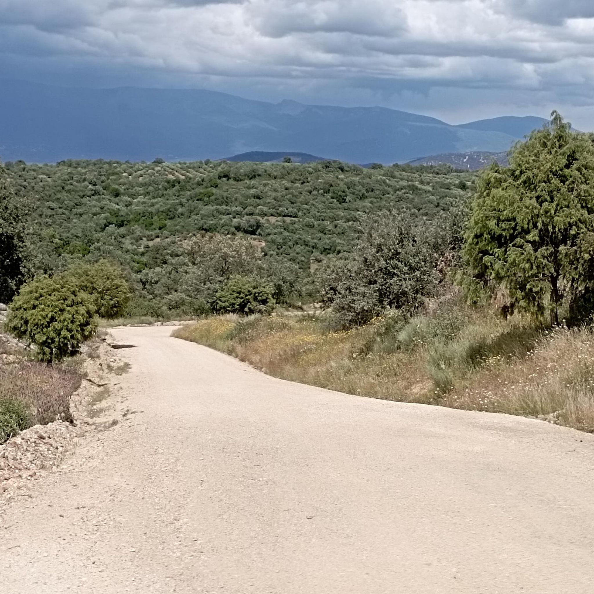
A legendary mountain pass in the Vuelta a España and in the Gredos mountain range, along with Serranillos, Peña Negra, Pedro Bernardo, and Puerto del Pico. It's a namesake of Serranillos, as it connects the same valleys, running parallel. Like Serranillo, it's a pass with a gentle, continuous gradient and uneven, bumpy asphalt, which is typical of this area. A pass of thermal contrasts: in winter, you're freezing cold, and in summer, you can die of heat.
0
0
La Portiña is a small reservoir located north of Talavera de la Reina on the Portiña stream and next to the natural surroundings of the Berrocal mountain range.
1
0
Frequently Asked Questions
How many touring cycling routes are available around Navamorcuende?
There are over 50 touring cycling routes available around Navamorcuende, offering a wide range of options for different skill levels and preferences. The region is known for its varied terrain, including hills, mountain passes, and river valleys.
Are there any easy or beginner-friendly touring cycling routes in Navamorcuende?
While many routes in Navamorcuende feature significant elevation changes, there is at least one easy touring cycling route available. For beginners, it's advisable to check the elevation profiles and distances carefully. The region generally caters to cyclists looking for more challenging experiences.
Which routes offer the most challenging climbs and mountain passes?
For cyclists seeking a challenge, the region offers numerous difficult routes. A notable option is the Puerto de Pedro Bernardo – Serranillos Pass loop from Pedro Bernardo, which covers 38.1 miles (61.3 km) with substantial elevation gain. Another demanding route is the Aquelcabos Medieval Bridge – Puerto de Pedro Bernardo loop from Pedro Bernardo, combining historical sights with significant ascents.
Are there circular touring cycling routes around Navamorcuende?
Yes, many of the touring cycling routes in Navamorcuende are designed as loops, allowing you to start and finish at the same point. Examples include the Mirador del Rollo – Pedro Bernardo loop from Pedro Bernardo and the Puerto de Pedro Bernardo – Serranillos Pass loop from Pedro Bernardo.
Can I find routes that feature historical landmarks or cultural points of interest?
Absolutely. The region's routes often incorporate historical elements. For instance, the Aquelcabos Medieval Bridge – Puerto de Pedro Bernardo loop from Pedro Bernardo passes by the Aquelcabos Medieval Bridge. You might also encounter the Rollo de Justicia of Castillo de Bayuela near some routes.
Are there touring cycling routes that pass by water features or reservoirs?
Yes, several routes in the Navamorcuende area feature water elements. The La Portiña Reservoir – Water Spout loop from Castillo de Bayuela is a great example, offering views of the La Portiña Reservoir. You might also encounter natural pools like Mijares natural pool or waterfalls such as El Chorro Waterfall.
Which routes offer the best panoramic viewpoints?
Many routes in Navamorcuende are designed to showcase the region's scenic beauty. The Mirador del Rollo – Pedro Bernardo loop from Pedro Bernardo is specifically highlighted for its panoramic viewpoints. You can also expect stunning vistas from mountain passes like El Piélago Pass.
What is the best time of year to go touring cycling in Navamorcuende?
The best time for touring cycling in Navamorcuende is typically during spring and autumn when temperatures are milder and the landscape is vibrant. Summer can be very hot, especially in the valleys, while winter might bring colder temperatures and potentially snow at higher elevations, making some mountain passes challenging or inaccessible.
Is parking available near the touring cycling routes?
While specific parking information for each route start point isn't detailed, most towns and villages in the Navamorcuende region, such as Pedro Bernardo or Castillo de Bayuela, offer public parking options. It's advisable to check local parking regulations upon arrival.
What do other touring cyclists say about the routes in Navamorcuende?
The touring cycling routes around Navamorcuende are highly rated by the komoot community, with an average score of 5.0 stars. Cyclists often praise the challenging climbs, the diverse terrain, and the beautiful mountain and river valley scenery. Over 300 touring cyclists have used komoot to explore the area.
Are there any routes that pass through unique natural landscapes like forests or dehesas?
Yes, the region features diverse natural landscapes. Some routes may take you through areas with a Dehesa Landscape, characterized by scattered trees and pastures, offering a unique cycling experience. The varied terrain ensures a mix of open views and more sheltered sections.
Most popular attractions around Navamorcuende

Get inspired with the komoot mobile app


Explore more
Browse the best Cycling routes in other regions.
