The best running trails around Los Barrios De Bureba
51
runners
12
runs
Jogging around Los Barrios De Bureba offers diverse terrain within the province of Burgos, Spain. The region is characterized by its integration with the Montes Obarenes-San Zadornil Natural Park, featuring mountainous landscapes and dense forests of beeches, oaks, and yews. Riverine environments, including the Oca and Ebro rivers and their gorges, provide scenic backdrops for running. The area also incorporates sections of the Camino Natural Santander-Mediterráneo, a greenway offering relatively flat paths through natural and historical settings.
Best jogging routes…
Last updated: July 8, 2026
2
runners
11.7km
01:35
330m
330m
This difficult 7.2-mile (11.7 km) jogging route ascends to San Torcaz from Santuario de Doña Casilda, gaining 1097 feet (334 metres).
9.82km
01:25
390m
390m
A difficult 6.1-mile (9.8 km) jogging route in Montes Obarenes-San Zadornil Natural Park, featuring 1280 feet (390 metres) of elevation gain

Sign up for free
15
runners
13.3km
01:52
490m
490m
Hard run. Very good fitness required. Mostly paved surfaces. Suitable for all skill levels.
7
runners
12.7km
01:48
500m
500m
Hard run. Very good fitness required. Mostly paved surfaces. Suitable for all skill levels.
19
runners
29.5km
04:11
1,300m
1,290m
Hard run. Very good fitness required. Mostly paved surfaces. Suitable for all skill levels.
Get access to more routes and recommendations from other explorers.
Sign up for free
Already have an account?
Our route recommendations are based on thousands of hikes, rides, and runs completed by other people on komoot.
Start today with a free account
Your next adventure awaits.
Login or Signup

Tips from the Community

A true boundary between zones, crossed by a road, just at an altitude of 1,000 metres.
1
0
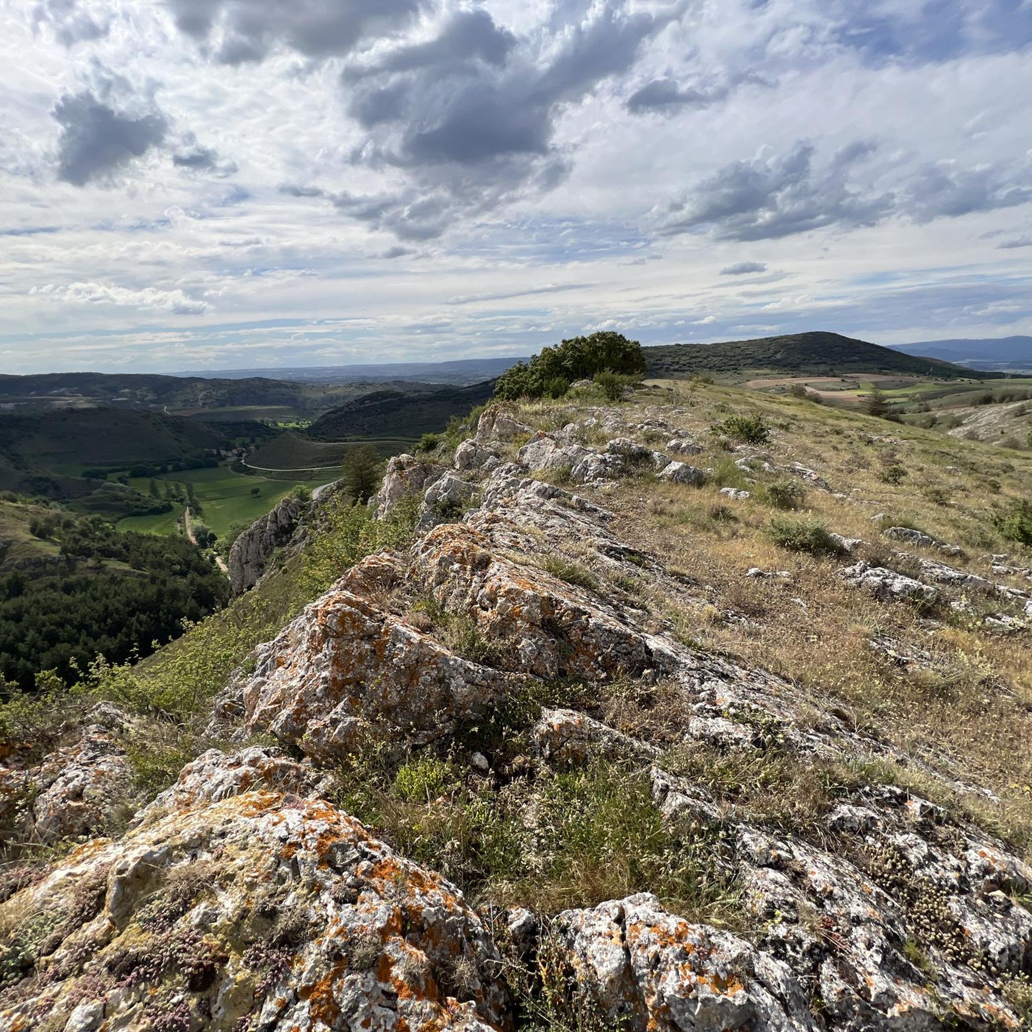
A delightful viewpoint of the entire Bureba area.
1
0

a highly recommended area for hiking.
0
0
A good route, coming from the south.
2
0
One of the points of tribute to the beloved Félix Rodriguez de la Fuente, a true reference in the childhood of those of my generation.
1
0
Right next to the town, it is worth it.
1
0
The best watchtower in the surroundings, I love the place.
1
0
The second time I visit it, and the second time it amazes me, a delight.
1
0
Frequently Asked Questions
How many running routes are available around Los Barrios De Bureba?
There are over 5 dedicated running routes in the Los Barrios De Bureba area, with a total of 7 routes listed in this guide. Most of these are challenging, offering significant elevation changes and varied terrain.
What kind of terrain can I expect on the running trails in Los Barrios De Bureba?
The terrain around Los Barrios De Bureba is quite varied, characterized by mountainous landscapes and dense forests within the Montes Obarenes-San Zadornil Natural Park. You'll also find riverine environments along the Oca and Ebro rivers, and sections of the Camino Natural Santander-Mediterráneo, which is a greenway offering more gentle paths. Expect significant elevation changes on many routes.
Are there any easy or beginner-friendly running routes in the area?
Most of the running routes around Los Barrios De Bureba are classified as difficult, featuring notable elevation gains and challenging terrain. There is one moderate route, but no easy routes are listed in this guide, making the area more suitable for experienced runners seeking a challenge.
Can I find circular running routes near Los Barrios De Bureba?
Yes, several routes are designed as loops. For example, the Santorcaz and Santa Casilda Loop offers a 7.2-mile (11.7 km) challenging run, and the Navas, Alto de – Pan Perdido loop from Navas de Bureba is another excellent circular option, covering 7.9 miles (12.8 km) through elevated landscapes.
What natural features or landmarks can I see while running in Los Barrios De Bureba?
The region is rich in natural beauty. You can encounter impressive mountain passes like Portillo de Busto and Altotero Pass. There are also several peaks such as El Cueto and Summit of Pan Perdido, offering stunning views. The Montes Obarenes-San Zadornil Natural Park itself is an ecological haven with diverse forests.
Are there any specific permits required for running in the Montes Obarenes-San Zadornil Natural Park?
While the Montes Obarenes-San Zadornil Natural Park is a protected area, general running on established trails typically does not require specific permits for individual recreational use. However, it's always advisable to check local regulations or park authority websites for any updates, especially for larger groups or organized events.
Are the running routes in Los Barrios De Bureba suitable for families?
Given that most routes in this guide are classified as difficult with significant elevation changes, they may not be ideal for young children or families seeking very easy, flat paths. The Camino Natural Santander-Mediterráneo, a 'vía verde' (greenway), offers sections that are generally flatter and more accessible, which might be more suitable for families, though specific family-friendly running routes are not highlighted in this guide.
What is the longest running route available in this guide?
The longest running route featured is the La Mojolla – Mirador de la Bureba loop from Poza de la Sal, which spans 15.9 miles (25.6 km) and includes over 3,700 feet (1,100 meters) of elevation gain, making it a very challenging option for experienced runners.
Are there any historical or cultural points of interest along the running trails?
Yes, the region offers cultural points of interest. The Camino Natural Santander-Mediterráneo passes through the tastefully reconstructed Oña station, and the town of Oña itself is a fairy-tale-like place with a monastery and cobblestone streets. While running, you might also encounter examples of Romanesque art and traditional Burebana architecture.
What do other runners say about the trails in Los Barrios De Bureba?
More than 20 runners have used komoot to explore Los Barrios De Bureba's varied terrain. They often praise the challenging nature of the routes, the stunning natural parklands, and the scenic river gorges, making it a rewarding destination for those who enjoy a demanding run amidst nature.
Is public transport available to access the running routes around Los Barrios De Bureba?
Public transport options directly to the trailheads might be limited in this rural area. It is generally recommended to use a car to access many of the starting points for these running routes. Some sections of the Camino Natural Santander-Mediterráneo might be accessible via local bus services to nearby towns like Oña, but direct access to all routes is best by private vehicle.
Can I bring my dog on the running trails in Los Barrios De Bureba?
Many natural trails in Spain, especially within natural parks like Montes Obarenes-San Zadornil, generally permit dogs, often requiring them to be on a leash to protect wildlife and ensure the safety of other users. It's always best to check specific signage at trailheads or the park's official guidelines for any particular restrictions.
Most popular routes around Los Barrios De Bureba
Most popular attractions around Los Barrios De Bureba

Get inspired with the komoot mobile app


Explore more
Browse the best Running Trails & Routes in other regions.
