The best running trails around Fuentesaúco De Fuentidueña
5.0
(2)
18
runners
8
runs
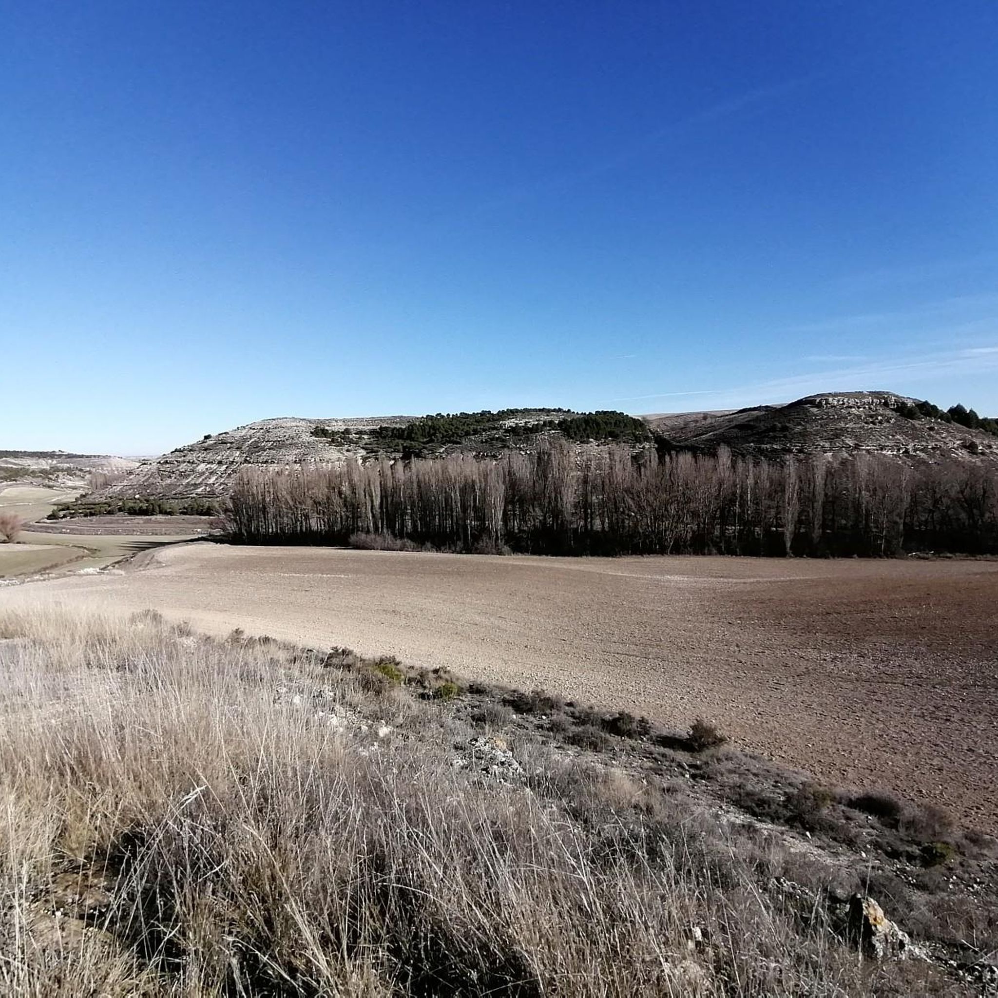
Jogging routes around Fuentesaúco De Fuentidueña traverse a tranquil agricultural landscape characterized by expansive cereal crop fields and scattered holm oak forests. Situated at an altitude of over 890 meters, the region features gentle elevation changes suitable for running. The area is also known for its natural springs and historical elder bushes, contributing to a varied rural environment for outdoor activities.
Best jogging routes around Fuentesaúco De Fuentidueña
- The most popular jogging route is Running loop from Hontalbilla, a…
Last updated: July 11, 2026
6
runners
Moderate run. Good fitness required. Mostly paved surfaces. Suitable for all skill levels.
3
runners
8.02km
00:50
30m
30m
Moderate run. Good fitness required. Mostly paved surfaces. Suitable for all skill levels.

Sign up for free
3
runners
9.47km
00:59
40m
40m
Moderate run. Good fitness required. Mostly paved surfaces. Suitable for all skill levels.
5.0
(1)
3
runners
9.44km
01:03
60m
60m
Moderate run. Good fitness required. Mostly paved surfaces. Suitable for all skill levels.
5.0
(1)
3
runners
9.88km
01:06
70m
70m
Moderate run. Good fitness required. Mostly paved surfaces. Suitable for all skill levels.
Get access to more routes and recommendations from other explorers.
Sign up for free
Already have an account?
Our route recommendations are based on thousands of hikes, rides, and runs completed by other people on komoot.
Start today with a free account
Your next adventure awaits.
Login or Signup
Popular around Fuentesaúco De Fuentidueña
Tips from the Community

Between the town of San Miguel de Bernuy and the Villa de Fuentidueña, the Duratón River has excavated a deep canyon that is filled with the waters of the Las Vencias reservoir. The spectacular views of the cuts that the river has traced in its path are mixed with remains of an old fortress, a hermitage and a convent. There are vultures and we can see griffon vultures in their majestic flight. Among the activities that this attractive place offers us is sailing in a canoe or canoe from San Miguel de Bernuy to the end of the reservoir, enjoying the silence and delighting in the observation of nature.🌞😎
3
0

In one of the meanders of the Embalse de las Vencías, large walls are erected on both sides of the bank that are used by vultures and their young. They nest in these walls and you have to be alert not to scare them. They are seen flying through the sky, huge wings!
1
0

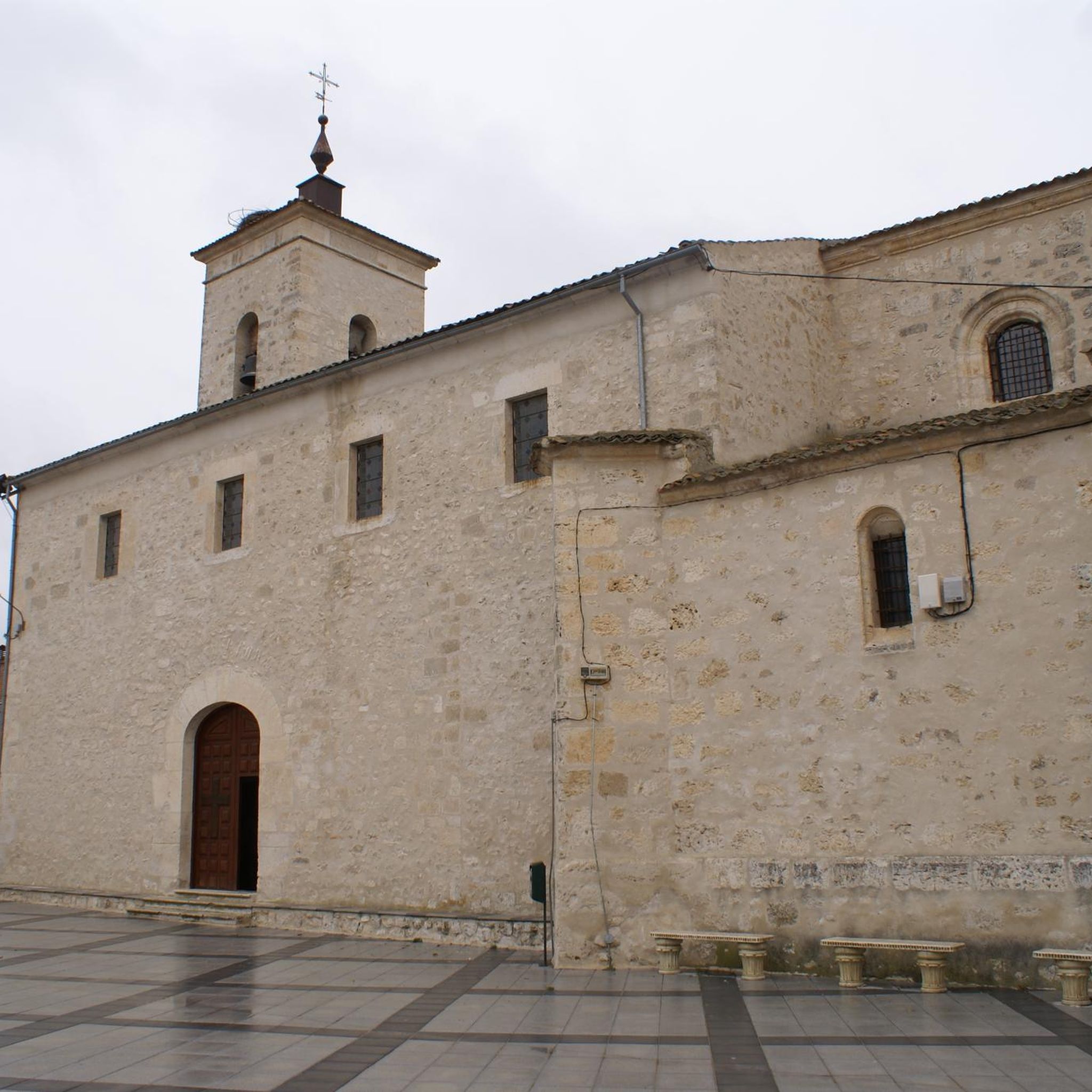
Located in the north of the province of Segovia, bordering the province of Valladolid, in the town of Olombrada you can visit the church of San Vicente and ride through the streets of this small and pretty town.
1
0
Beautiful views of the Vencias reservoir rolling along a path parallel to it. A real luxury for mountain bike enthusiasts.
1
0
Beautiful views of the Vencias reservoir next to the Chiringuito El rincón de Pibe, an ideal place to take a break before continuing with the route.
1
0
The population of Olombrada is located in the north of the province of Segovia, already bordering the province of Valladolid. The municipality is also part of Moraleja de Cuéllar and Vegafría, one to the east and the other to the west.
0
0
Frequently Asked Questions
How many running routes are available in the Fuentesaúco De Fuentidueña area?
There are 4 dedicated running routes around Fuentesaúco De Fuentidueña listed on komoot, all offering a moderate challenge. These routes are highly rated by the community.
What kind of terrain can I expect on the running trails around Fuentesaúco De Fuentidueña?
The running trails primarily traverse a tranquil agricultural landscape, featuring expansive cereal crop fields and scattered holm oak forests. You'll experience gentle elevation changes, making for a varied rural environment. The Running loop from Hontalbilla, for instance, offers views of these characteristic agricultural fields.
Are there any circular running routes in the region?
Yes, all the listed running routes in the Fuentesaúco De Fuentidueña area are circular loops. For example, the Running loop from Adrados and the Running loop from Frumales are both popular circular options, winding through the rural landscape.
What are some notable landmarks or attractions I can see while running near Fuentesaúco De Fuentidueña?
While running, you might encounter historical elements such as the 'Tenadas de Traslesa' (old sheepfolds) and the venerable 'Encina del Otero' (a centennial holm oak) on local trails like the Ruta 'Monte del Concejo'. Beyond the immediate routes, nearby attractions include the historic Castle and village of Fuentidueña, the charming settlement of Sacramenia, and even views of vulture nests.
Is Fuentesaúco De Fuentidueña suitable for beginner runners or those looking for easy routes?
The routes in this area are generally classified as moderate in difficulty. While there are no routes specifically marked as 'easy' in the komoot data, the gentle elevation changes and well-defined paths through agricultural fields and holm oak forests make them accessible for most runners with a reasonable fitness level. The Ruta 'Monte del Concejo' is described as an easy, signposted trail.
What is the best time of year to go running in Fuentesaúco De Fuentidueña?
Given the continental Mediterranean climate, spring and autumn offer the most comfortable conditions for running. During summer, it's best to plan your runs for the cooler parts of the day, such as early mornings or late evenings, to avoid the midday heat.
Are the running trails around Fuentesaúco De Fuentidueña dog-friendly?
The rural and agricultural nature of the trails, often passing through open fields and forests, generally makes them suitable for running with dogs. However, it's always advisable to keep dogs on a leash, especially when passing through agricultural areas or near livestock, and to respect local regulations regarding pets.
What do other runners enjoy most about jogging in Fuentesaúco De Fuentidueña?
The running routes in Fuentesaúco De Fuentidueña are highly rated by the komoot community, with an average score of 5.0 stars from 2 reviews. Runners often praise the tranquil agricultural landscape, the varied scenery of cereal fields and holm oak forests, and the peaceful, unurbanized environment ideal for a serene run.
Are there any longer running options for those seeking a greater challenge?
While all listed routes are moderate, some offer a longer distance. The Olombrada loop from Olombrada is the longest at nearly 10 kilometers, taking around 1 hour and 6 minutes to complete, providing a good option for those looking to extend their run.
Can I find places to relax or refuel after a run in Fuentesaúco De Fuentidueña?
Within the village, you'll find a park next to the church and a town plaza equipped with a fronton, tables, and swings. These offer pleasant spaces for warm-ups, cool-downs, or post-jog relaxation. While specific cafes or restaurants aren't detailed for the routes themselves, the village provides local amenities.
Are there any routes that pass by water features or natural springs?
The village's name, 'Fuentesaúco,' derives from its numerous natural springs ('fuentes naturales'). The 'Fuente de los Tres Arcos' (Fountain of Three Arches) is a popular local landmark. While specific running paths directly along a river are not detailed, the presence of these springs and a river suggests accessible areas that might offer pleasant, shaded spots for walks or light jogging.
Most popular routes around Fuentesaúco De Fuentidueña
Most popular attractions around Fuentesaúco De Fuentidueña

Get inspired with the komoot mobile app


Explore more
Browse the best Running Trails & Routes in other regions.
