The best road cycling routes around Villacastín
3.8
(4)
351
riders
33
rides
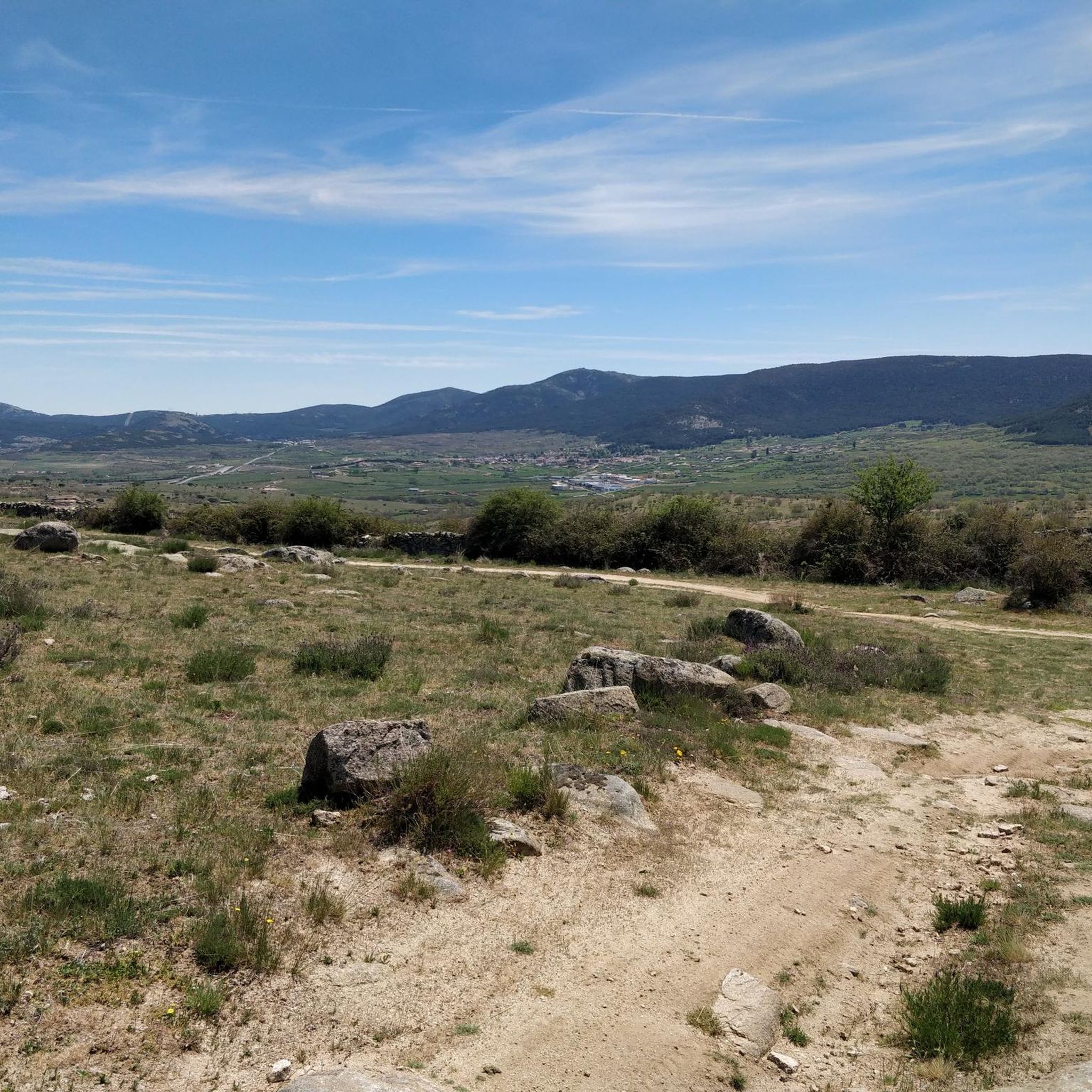
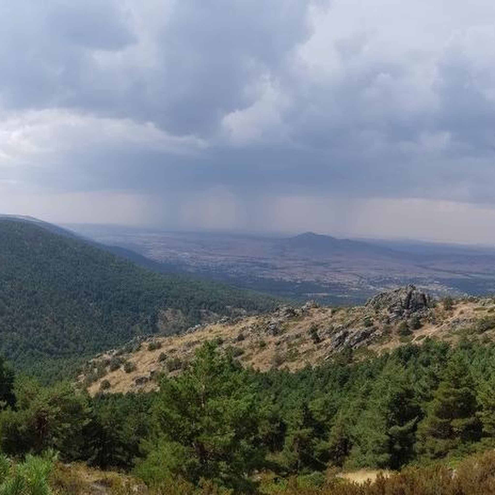
Road cycling around Villacastín features routes traversing the central Spanish plateau, characterized by open plains, rolling hills, and occasional mountain passes. The region's terrain offers varied gradients, from long, steady climbs to flatter sections across agricultural landscapes. Elevations typically range from moderate ascents to more significant climbs in areas like the Sierra de Guadarrama foothills.
Best road cycling routes around Villacastín
- The most popular road cycling route is Puertos de la Lancha y de la Cruz de Hierro — circular…
Last updated: July 5, 2026
5
riders
128km
06:22
1,950m
1,950m
Hard road ride. Very good fitness required. Mostly well-paved surfaces and easy to ride.
12
riders
36.8km
01:40
310m
310m
Moderate road ride. Good fitness required. Mostly well-paved surfaces and easy to ride.

Sign up for free
12
riders
71.7km
03:03
570m
570m
Moderate road ride. Good fitness required. Mostly well-paved surfaces and easy to ride.
11
riders
95.1km
04:20
930m
930m
Hard road ride. Very good fitness required. Some segments of this route may be unpaved and difficult to ride.
13
riders
59.4km
02:51
850m
850m
Moderate road ride. Good fitness required. Mostly well-paved surfaces and easy to ride.
Get access to more routes and recommendations from other explorers.
Sign up for free
Already have an account?
Our route recommendations are based on thousands of hikes, rides, and runs completed by other people on komoot.
Start today with a free account
Your next adventure awaits.
Login or Signup
Tips from the Community

The bridge located in Moñibas (Segovia) is a small stone bridge, very characteristic of traditional Castilian rural architecture.
4
0

Turn around and you see the bridge and the alcazar... what a view!
0
0

Information about the “Acueducto de Segovia” and many more photos can be found in the corresponding hiking highlight at => https://www.komoot.com/de-de/highlight/4225055
3
0

Fantastic construction, it impressed me as much as the first time I saw it as a child.
3
0

The Paseo de San Marcos in Segovia is a charming corner that is worth exploring. Although it is not as well known as the historic center, it offers a unique experience and impressive views.
3
0
The Segovia Aqueduct is an impressive architectural structure that dates back to the 1st century AD. C. and was built by the Romans during the occupation of Hispania. Its main function was to supply water to the city of Segovia, transporting it from the mountains to the urban center. The aqueduct carries the waters of the Fuenfría spring, located in the mountains about 17 kilometers from the city, to the center of Segovia. The water is collected in a cistern called El Caserón and then taken through an ashlar canal to a second tower known as Casa de Aguas. After traveling more than 15 km, you arrive at the city. The Segovia Aqueduct is a heraldic symbol of the city and one of the most impressive works that the Romans left in their vast empire. If you ever have the opportunity to visit, I recommend that you do so. It's really amazing! 😊🏛️
13
0
The San Lázaro Bridge, located in Segovia, is a historical testimony that connects the city with its past and its natural environment. The bridge has a length of approximately 225 meters and has seven visible arches and one buried under Paseo Echegaray.
2
0
Frequently Asked Questions
How many road cycling routes are available around Villacastín?
There are over 35 road cycling routes around Villacastín, offering a diverse range of experiences from moderate loops to challenging mountain passes.
Are there road cycling routes suitable for beginners in Villacastín?
Yes, Villacastín offers some routes suitable for beginners. There is at least one easy route, and 14 moderate routes that can be a good starting point for those looking for less strenuous rides. These typically feature rolling terrain and open landscapes.
What kind of terrain can I expect on road cycling routes near Villacastín?
Road cycling around Villacastín features routes traversing the central Spanish plateau, characterized by open plains, rolling hills, and occasional mountain passes. You'll find varied gradients, from long, steady climbs to flatter sections across agricultural landscapes.
Are there challenging road bike climbs in the Villacastín area?
Absolutely. The region is known for significant elevation gains, especially in areas like the Sierra de Guadarrama foothills. There are 20 difficult routes, including those that tackle mountain passes such as Puertos de la Lancha y de la Cruz de Hierro — circular desde Villacastín.
What do other road cyclists say about the routes in Villacastín?
The road cycling routes in Villacastín are highly rated by the komoot community, with an average score of 4.0 stars. Cyclists often praise the varied terrain, from open plains to challenging mountain passes, and the scenic agricultural landscapes.
Are there any long-distance road cycling options near Villacastín?
Yes, for those seeking longer rides, routes like Puertos de la Lancha y de la Cruz de Hierro — circular desde Villacastín cover nearly 128 km, offering significant distance and elevation gain. Another long option is Arco de la Fuencisla – Aqueduct of Segovia loop from Muñopedro, which is also over 128 km.
Can I find circular road cycling routes around Villacastín?
Many of the road cycling routes in Villacastín are designed as loops, allowing you to start and finish in the same location. Examples include the popular Puertos de la Lancha y de la Cruz de Hierro — circular desde Villacastín and Bridge – Muñopedro Straights loop from Bercial.
What natural attractions can I see along the road cycling routes?
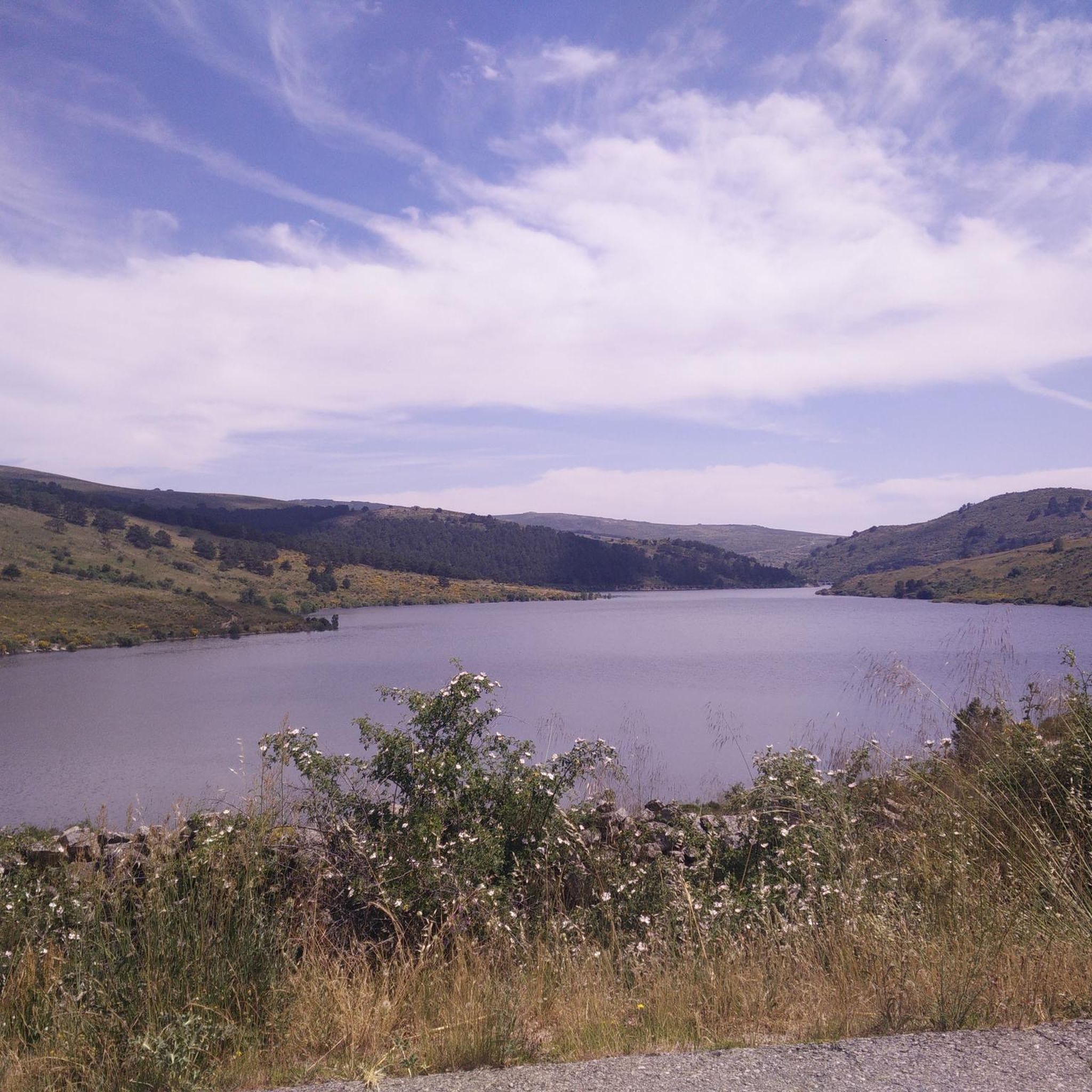
As you cycle, you might encounter natural monuments and viewpoints. Notable spots include the Mirador del Canchal and the Risco de los Dineros Viewpoint, offering panoramic views of the landscape. You could also pass by the Navalperal de Pinares Reservoir.
Are there any historical or cultural landmarks near the cycling routes?
Yes, some routes may take you near significant landmarks. For instance, the Arco de la Fuencisla – Aqueduct of Segovia loop from Muñopedro passes by the historic Aqueduct of Segovia. You might also encounter the Monument of the Three Provinces (Madrid, Segovia, and Ávila).
What are the typical summer conditions for road cycling in Villacastín?
Summers in Villacastín, being on the central Spanish plateau, can be warm and dry. It's advisable to start rides early in the morning to avoid the midday heat and ensure you carry sufficient water. The open plains offer little shade, so sun protection is essential.
Are there any routes that offer a mix of rural roads and agricultural areas?
Yes, many routes in the region traverse rural roads and agricultural landscapes. The Fuente de Juarros de Riomoros loop from Zarzuela del Monte is a good example, leading you through these characteristic areas.
Can I find routes that include mountain passes?
Definitely. The region's proximity to the Sierra de Guadarrama foothills means several routes incorporate mountain passes. The Puerto de la Lancha is a notable mountain pass that features in some of the more challenging rides.
Most popular attractions around Villacastín

Get inspired with the komoot mobile app


Explore more
Browse the best Road cycling routes in other regions.
