
The best running trails around Ventosilla Y Tejadilla
22
runners
6
runs
Jogging around Ventosilla Y Tejadilla offers a unique opportunity to explore the natural beauty of this region within the Sierra Norte de Guadarrama Natural Park. The area is characterized by its diverse vegetation, including ancient junipers, holm oaks, poplars, and ash trees, which line many of the running routes. Runners will encounter a rugged terrain with limestone formations and varied landscapes, providing a dynamic environment for outdoor activity. These natural features contribute to a visually appealing and engaging experience for joggers.
Best jogging routes around Ventosilla Y Tejadilla
- The most popular jogging route is Alto del Pinar – Cerro del Sabinar loop from Arcones, a 10.0 miles (16.1 km) trail that takes 2 hours 17 minutes to complete. This challenging route features significant elevation gain through varied terrain.
- Another top favourite among local runners is Mirador de Pedraza loop from Matabuena, a moderate 8.6 miles (13.8 km) path. This route offers scenic views, including the Mirador de Pedraza, and winds through natural landscapes.
- Local runners also love the Mirador estelar de Casla loop from Casla, a 5.9 miles (9.5 km) trail leading through diverse natural surroundings, often completed in about 1 hour 9 minutes.
- Jogging around Ventosilla Y Tejadilla is defined by diverse woodlands, rugged terrain, and scenic viewpoints. The network of routes offers options for different ability levels, from moderate runs to more challenging trails.
- The guide includes highly-rated routes that showcase the best of the region's landscape. More than 20 runners have used komoot to explore Ventosilla Y Tejadilla's varied terrain.
Last updated: June 28, 2026
4
runners
5.34km
00:35
50m
50m
Moderate run. Good fitness required. Mostly paved surfaces. Suitable for all skill levels.
3
runners
6.96km
00:46
50m
50m
Moderate run. Good fitness required. Mostly paved surfaces. Suitable for all skill levels.

Sign up for free
4
runners
16.1km
02:17
700m
700m
Hard run. Very good fitness required. Mostly paved surfaces. Suitable for all skill levels.
2
runners
9.53km
01:09
220m
220m
Moderate run. Good fitness required. Mostly paved surfaces. Suitable for all skill levels.
2
runners
13.8km
01:37
190m
190m
Moderate run. Good fitness required. Mostly paved surfaces. Suitable for all skill levels.
Our route recommendations are based on thousands of hikes, rides, and runs completed by other people on komoot.
Start today with a free account
Your next adventure awaits.
Login or Signup

Frequently Asked Questions
What kind of terrain can I expect on the running routes in Ventosilla y Tejadilla?
The terrain around Ventosilla y Tejadilla is generally rugged, characterized by limestone formations and diverse woodlands. You'll encounter a mix of ancient junipers, holm oaks, poplars, and ash trees, especially in the valleys. This varied landscape provides a dynamic and engaging experience for runners.
Are there any easy or beginner-friendly running routes in the area?
While many routes offer a moderate challenge, there are options suitable for those looking for an easier run. For example, the Charca del Barrero loop from Arcones is a moderate 5.3 km route with minimal elevation gain, making it a good choice for a less strenuous outing.
Where can I find challenging running trails in Ventosilla y Tejadilla?
For a more demanding run, consider the Alto del Pinar – Cerro del Sabinar loop from Arcones. This difficult 16.1 km trail features significant elevation gain, offering a robust workout through varied terrain.
What natural features or landmarks can I see while jogging in Ventosilla y Tejadilla?
The region is rich in natural beauty. You can discover the stunning Chorrera de los Litueros Waterfall, also known as Chorro de Somosierra, which offers picturesque views. Another notable natural landmark is the Robregordo Holly Forest, a 'forest fantasy' with diverse trees. The Mirador de Pedraza loop from Matabuena also offers scenic viewpoints.
Are there any circular running routes available?
Yes, many of the running routes in Ventosilla y Tejadilla are designed as loops. Examples include the Charca del Barrero loop from Arcones, the Alto del Pinar – Cerro del Sabinar loop from Arcones, and the Mirador estelar de Casla loop from Casla, all offering convenient circular paths.
Is Ventosilla y Tejadilla a good destination for family-friendly running or walking?
The diverse network of trails includes options suitable for families. While specific 'easy' routes are not explicitly listed, the natural beauty and varied landscapes provide an enjoyable setting for family outings. The Charca del Barrero loop from Arcones, being shorter and moderate, could be a good starting point for families.
Can I bring my dog on the running trails in Ventosilla y Tejadilla?
Ventosilla y Tejadilla is part of the Sierra Norte de Guadarrama Natural Park. While specific dog regulations for jogging routes are not detailed, it's generally advisable to keep dogs on a leash in natural park areas to protect wildlife and ensure a pleasant experience for all users. Always check local signage for specific rules.
What is the best time of year to go running in Ventosilla y Tejadilla?
The region's diverse flora, including vibrant undergrowth with chicory, mallow, orchids, and wild roses, suggests that spring and early summer would be particularly beautiful for running, offering a colorful and fragrant experience. Autumn would also be scenic with changing foliage. The name 'Ventosilla' hints at a windy location, suggesting fresh air for physical activity year-round.
Are there any historical sites or cultural points of interest along the routes?
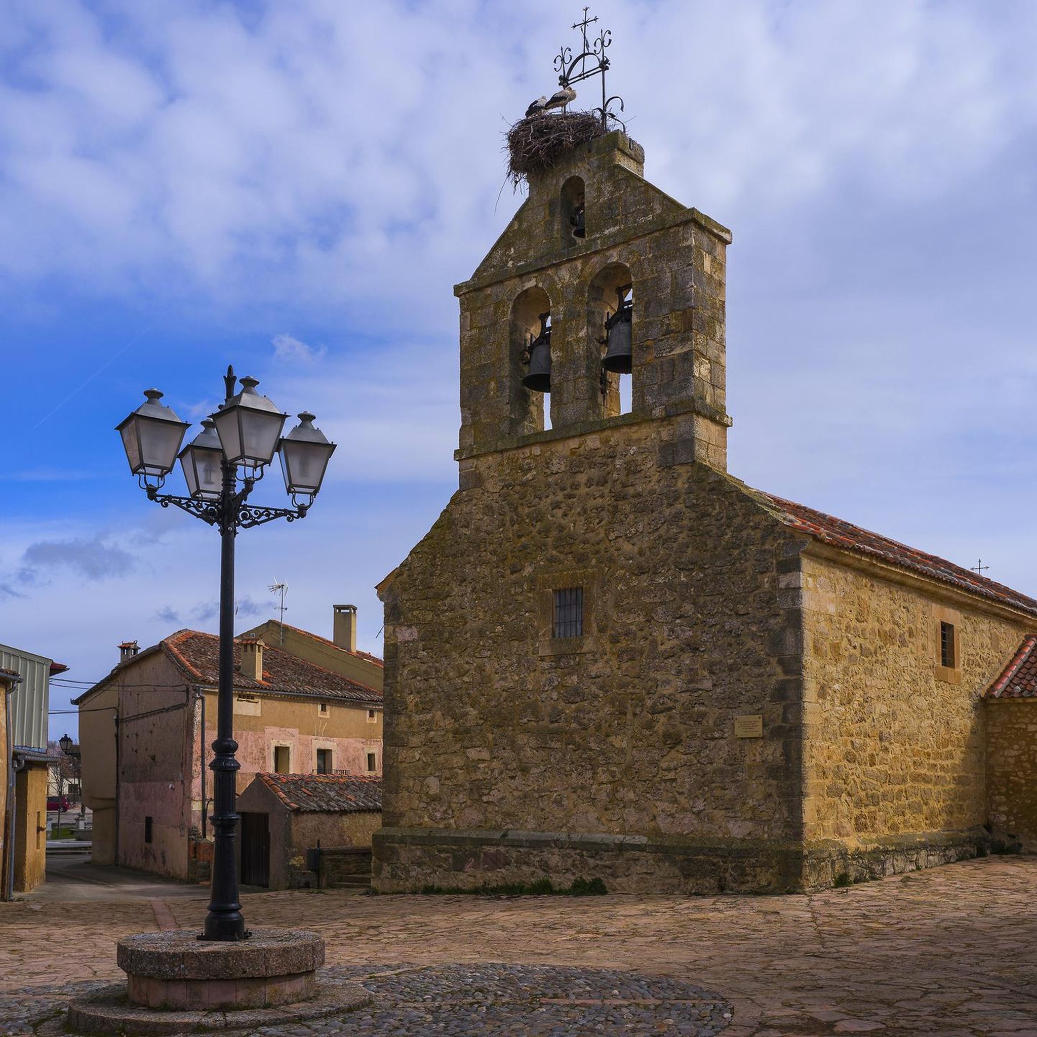
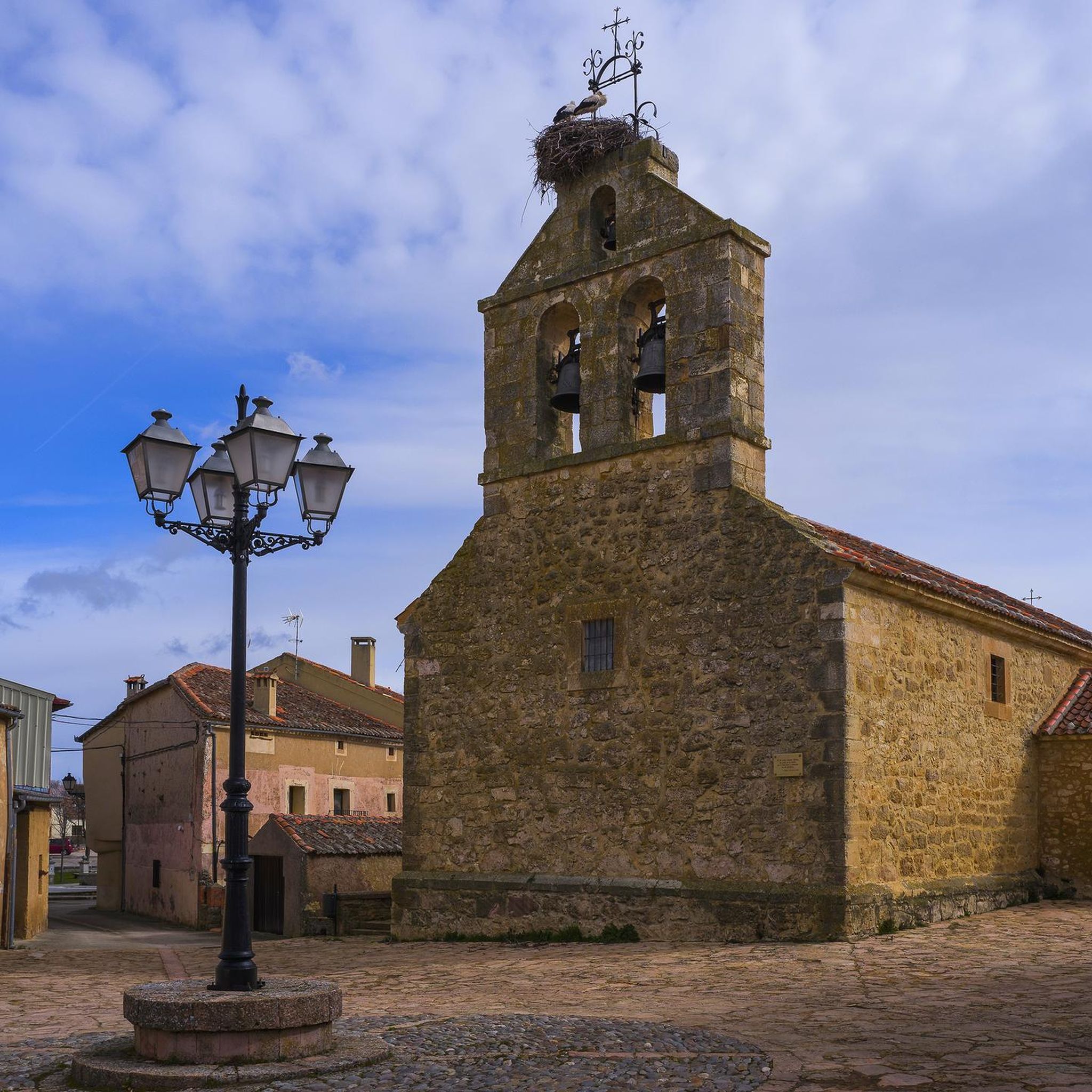
Yes, beyond its natural allure, the municipality boasts historical elements. You might encounter a stretch of Roman road, a preserved horseshoeing forge ('Potro de Herrar'), and an old smithy ('Fragua'). The Romanesque Church of Nuestra Señora de Tejadilla is also a significant historical landmark in the area, adding cultural interest to your run.
Is there public transport or parking available near the trailheads?
While the guide doesn't specify public transport options directly to trailheads, the region is accessible. For parking, many routes, especially those starting from villages like Arcones, Matabuena, or Casla, typically have designated or informal parking areas nearby. It's recommended to check specific route details on Komoot for more precise parking information.
Are there any regulations or permits required for running in the Sierra Norte de Guadarrama Natural Park?
As Ventosilla y Tejadilla falls within the Sierra Norte de Guadarrama Natural Park, there may be general regulations regarding activities to preserve the environment. While specific permits for jogging are not typically required, it's always good practice to respect park rules, stay on marked trails, and avoid disturbing wildlife. No specific permit requirements for running are mentioned in the provided data.
What is the Senda del Río San Juan, and is it suitable for running?
The Senda del Río San Juan is an 8.5 km trail along the San Juan River, starting from the Church of Nuestra Señora de Tejadilla and leading to the hermitage of Nuestra Señora de los Remedios. It's accompanied by ash, willow, and poplar trees and includes a riverside recreational area. This route is highlighted as suitable for running and cycling, offering a refreshing natural setting.
Most popular routes around Ventosilla Y Tejadilla
Most popular attractions around Ventosilla Y Tejadilla

Get inspired with the komoot mobile app


Explore more
Browse the best Running Trails & Routes in other regions.
