The best walks and hikes around Masegoso
4.6
(8)
38
hikers
8
hikes
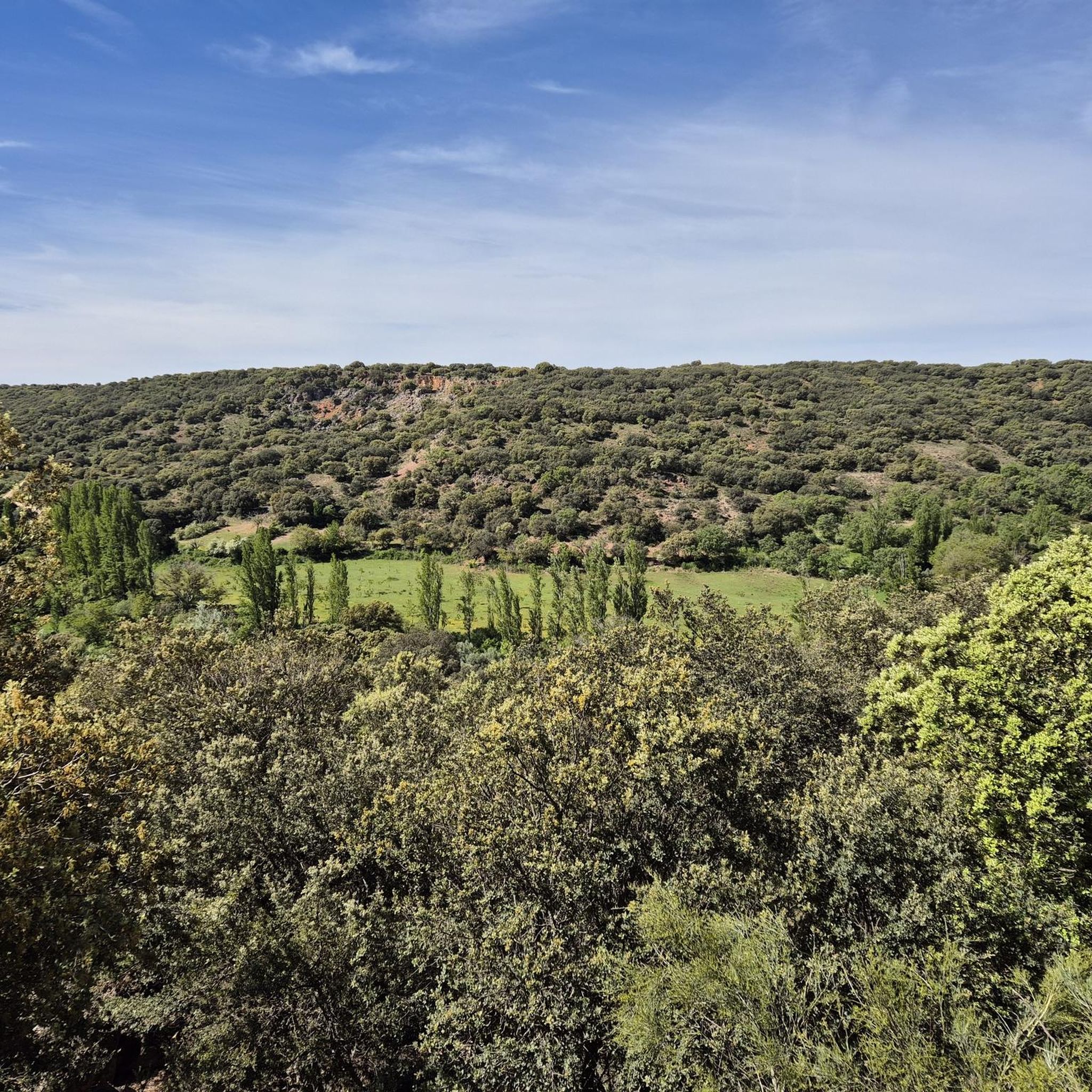
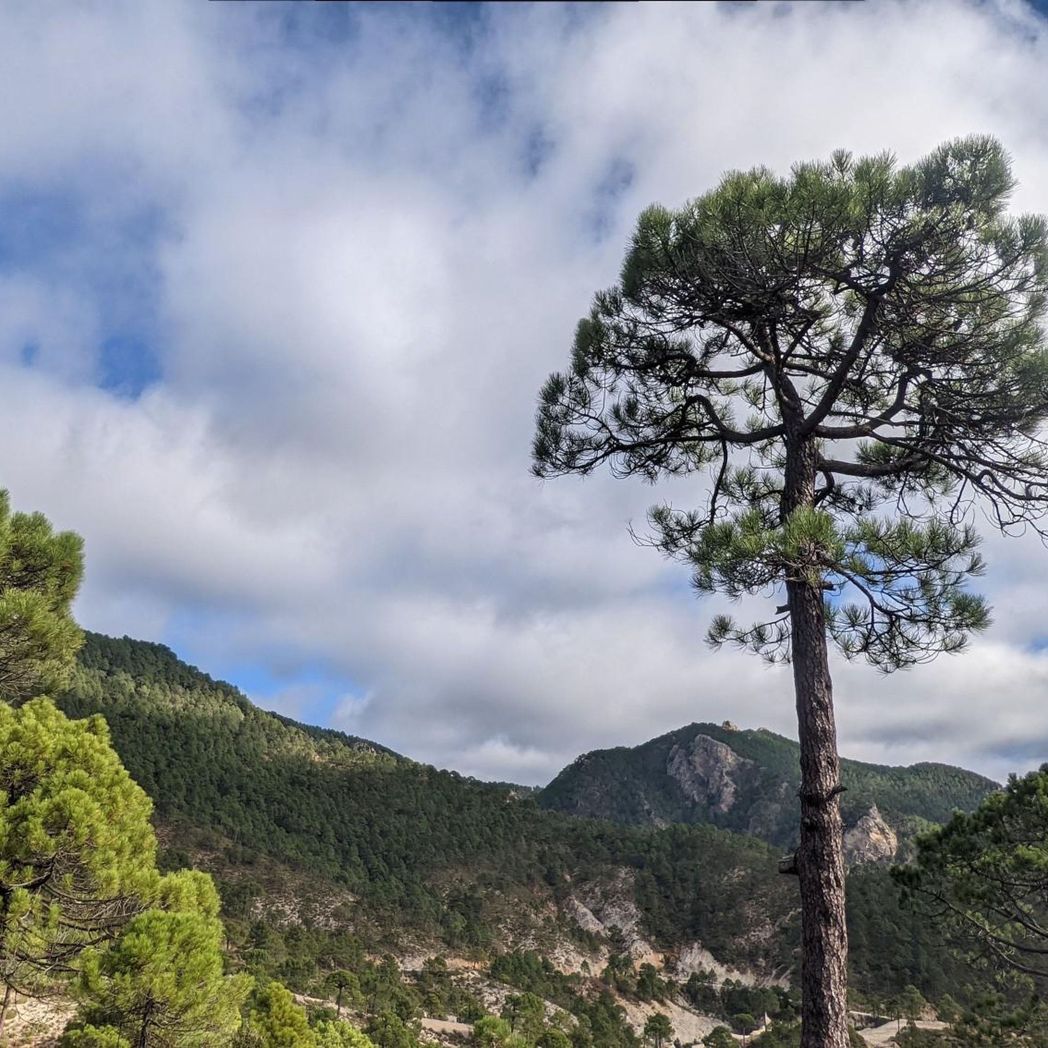
Hiking around Masegoso offers diverse natural landscapes within the Sierra de Alcaraz and its association with the Sierra de Albarracín. The region features a continental climate at altitudes exceeding 3,280 feet (1,000 meters), providing varied terrains for exploration. Key geographical features include karstic lagoons like Laguna del Arquillo, the source of the Cabriel River at Ojos del Cabriel, and riverine canyons. The landscape is characterized by oak, pine, and juniper forests, alongside pastures and fertile plains.
Best hiking trails around…
Last updated: June 24, 2026
19.2km
05:10
240m
240m
Hard hike. Very good fitness required. Easily-accessible paths. Suitable for all skill levels.
3.0
(1)
11
hikers
10.8km
03:26
440m
440m
Moderate hike. Good fitness required. Easily-accessible paths. Suitable for all skill levels.

Sign up for free
5.0
(2)
6
hikers
6.17km
01:53
220m
210m
Easy hike. Great for any fitness level. Easily-accessible paths. Suitable for all skill levels.
5.0
(2)
5
hikers
8.62km
02:16
70m
70m
Moderate hike. Good fitness required. Easily-accessible paths. Suitable for all skill levels.
5.0
(1)
5
hikers
17.0km
05:16
620m
610m
Hard hike. Very good fitness required. Easily-accessible paths. Suitable for all skill levels.
Get access to more routes and recommendations from other explorers.
Sign up for free
Already have an account?
Our route recommendations are based on thousands of hikes, rides, and runs completed by other people on komoot.
Start today with a free account
Your next adventure awaits.
Login or Signup

Tips from the Community

Don Quijote Route From Albacete to Alcaraz and Bienservida The conversion of the old Baeza-Utiel railway line into a Via Verde offers nature lovers a unique route from Albacete to Bienservida, a town on the border with the province of Jaén. Along the way, there are tunnels and old train stations through which no train ever ran and where no passengers ever waited. The town of Robledo, near which we are, is one of the highlights of this special path. Its old station has been converted into rural accommodation.
0
0

Small town nestled in the Madera River valley. Surrounded by an impressive riverside forest. It is worth stopping to visit it.
2
0

Surrounded by nature and wild adventure on the slopes of Pico de La Almenara, the town of Paterna is located on the geographical limit between the leafy mountains and the arid land of Hidalgo.
1
0
A remote town in the Alcaraz mountain range, it is located in a protected natural area. Good place if you need water - it has a drinking fountain and a supermarket.
2
0

This tunnel, known as "Túnel de Los Chospes", is about 400 meters long and was built at the beginning of the 20th century. It is necessary to take some precautions, since in some sections the tunnel can be dark and slippery.
1
0
This path is known as "Sendero de Los Chospes" or "Route of Los Chospes". The route begins in the center of the town and is approximately 6 kilometers long. During the tour, you can enjoy the nature and landscape of the area, as well as some of the most outstanding monuments of Los Chospes, such as the church of San Juan Bautista or the old flour mill.
1
0
A few meters from the road you can find a rest area with shade, drinking water and informative signs.
3
0
The Madera River is an important tributary of the Júcar River. It is surrounded by riverside forests.
1
0
Frequently Asked Questions
How many hiking trails are available around Masegoso?
There are over 10 hiking trails around Masegoso, offering a variety of experiences. These routes range from easy walks suitable for beginners to more challenging treks for experienced hikers.
What kind of terrain can I expect on hikes in Masegoso?
Hiking in Masegoso offers diverse terrain, characteristic of the Sierra de Alcaraz and Sierra de Albarracín. You'll encounter karstic lagoons, river sources, and extensive forests of pine, juniper, and oak. The landscape also features pastures and fertile plains, with a continental climate at altitudes exceeding 1,000 meters.
Are there any family-friendly hiking options in Masegoso?
Yes, Masegoso offers trails suitable for families. For an easier option, consider the Paterna del Madera loop from Paterna del Madera, which is 3.8 miles (6.2 km) and typically takes less than 2 hours to complete with minimal elevation gain.
Can I find circular hiking routes in the Masegoso area?
Many of the trails around Masegoso are circular, allowing you to start and end at the same point. A notable example is the Laguna del Arquillo Loop from Los Chospes, which is a challenging 11.9 miles (19.2 km) route exploring the significant Laguna del Arquillo Natural Monument.
Are there any waterfalls to see on hikes near Masegoso?
Yes, the region is known for its beautiful waterfalls. The Molino de San Pedro Waterfall, with its 6 to 12-meter drop into a crystal-clear pool, is a popular spot for a refreshing dip. The Herrería Waterfall, also known as the 'Hidden Waterfall,' is another natural gem on the Cabriel River, often found along routes that include the Ojos del Cabriel.
What natural features or landmarks can I explore while hiking?
The Masegoso area is rich in natural beauty. You can visit the Laguna del Arquillo Natural Monument, a significant draw with marked routes and a viewpoint offering stunning sunsets. The Ojos del Cabriel, where the Cabriel River originates with its characteristic turquoise waters, is another prominent feature. Additionally, you might encounter the Masegoso River Viaduct and various tunnels of the Vía Verde de la Sierra de Alcaraz.
What is the best time of year to go hiking in Masegoso?
Given its continental climate at altitudes exceeding 1,000 meters, Masegoso offers varied conditions. Spring and autumn generally provide pleasant temperatures for hiking. Summers can be warm, while winters can be cold, but the diverse landscapes are appealing year-round depending on your preference for weather and trail conditions.
What do other hikers say about the trails in Masegoso?
The routes in Masegoso are highly rated by the komoot community, with an average score of 4.3 stars. Hikers often praise the diverse natural landscapes, the beauty of features like Laguna del Arquillo and the waterfalls, and the variety of trails suitable for different fitness levels.
Are there any moderate difficulty hikes for those with some experience?
Yes, there are several moderate trails. The Río Madera – Batán del Puerto loop from Paterna del Madera is a popular moderate option, covering 6.7 miles (10.8 km) and navigating through riverine landscapes with views of local flora.
What are the more challenging hiking routes in Masegoso?
For experienced hikers, Masegoso offers several difficult routes. The Las Coronillas Trail loop from Refugio del Mal Paso is a challenging 10.5 miles (17 km) trek with significant elevation gain, providing a rewarding experience.
Are there any specific places to explore near the hiking trails?
Beyond the trails, you can explore the tranquil rural setting of the region. The nearby Sierra de Albarracín is characterized by its rich water features, including the Cabriel River flowing through a sinuous karstic canyon, surrounded by extensive pine forests, junipers, and oaks.
Most popular attractions around Masegoso

Get inspired with the komoot mobile app


Explore more
Browse the best Hikes in other regions.
