The best road cycling routes around Pontils
4.8
(28)
1,216
riders
53
rides
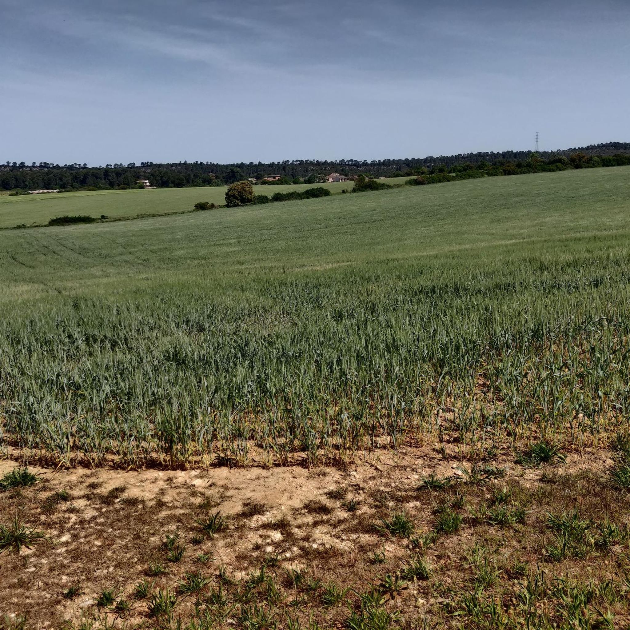
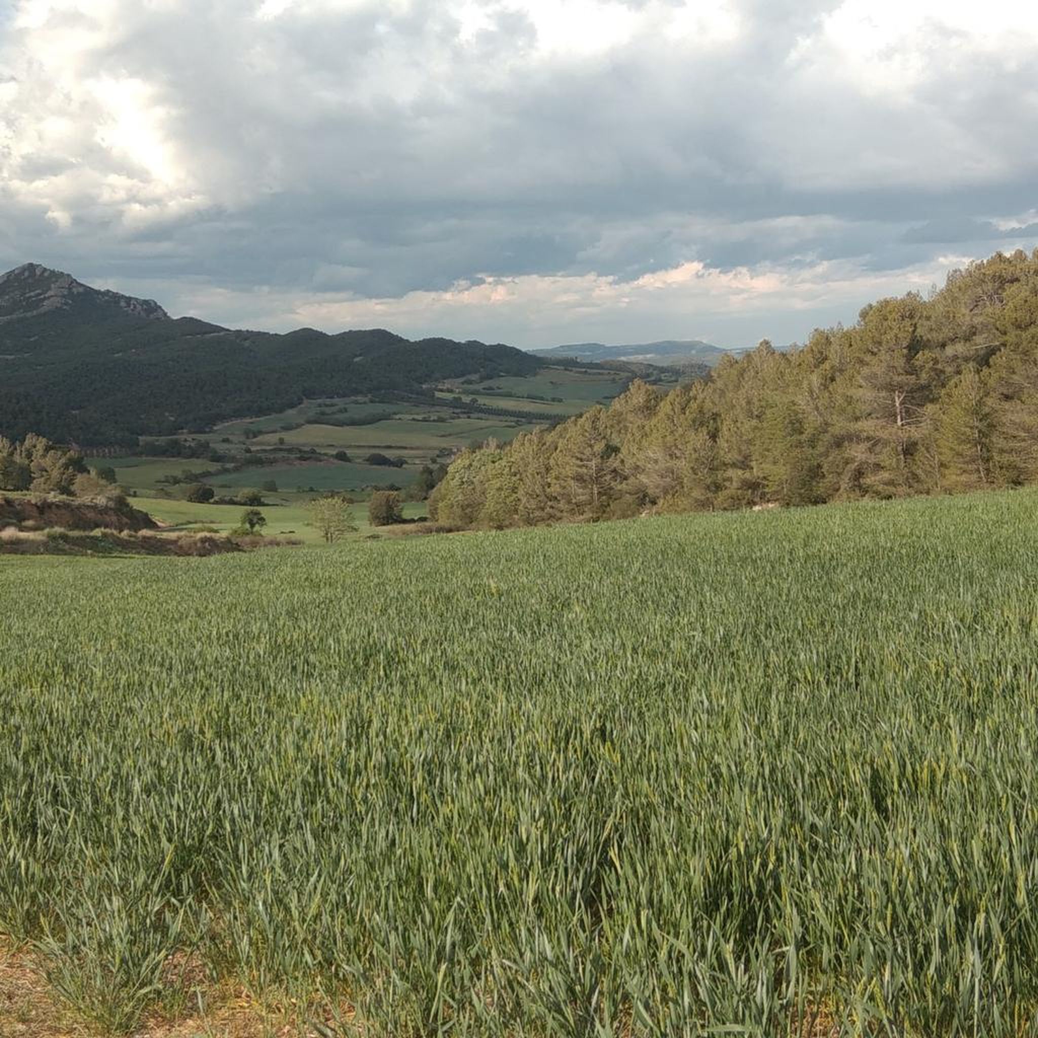
Road cycling around Pontils features a landscape characterized by rolling hills, agricultural areas, and scattered woodlands. The terrain includes moderate ascents and descents, typical of inland Catalonia, offering varied gradients for cyclists. Routes often connect small villages and traverse open countryside, providing views of the surrounding rural environment.
Best road cycling routes around Pontils
- The most popular road cycling route is Collet de la Serra – View of La Creu de Lavit loop from la Llacuna, a 39.2 miles…
Last updated: August 21, 2026
41
riders
67.2km
03:14
850m
850m
Moderate road ride. Good fitness required. Some segments of this route may be unpaved and difficult to ride.
18
riders
41.4km
01:52
440m
440m
Moderate road ride. Good fitness required. Mostly well-paved surfaces and easy to ride.

Sign up for free
14
riders
35.1km
01:44
500m
500m
Moderate road ride. Good fitness required. Mostly well-paved surfaces and easy to ride.
10
riders
31.8km
01:28
350m
350m
Moderate road ride. Good fitness required. Mostly well-paved surfaces and easy to ride.
19
riders
Moderate road ride. Good fitness required. Mostly well-paved surfaces and easy to ride.
Get access to more routes and recommendations from other explorers.
Sign up for free
Already have an account?
Our route recommendations are based on thousands of hikes, rides, and runs completed by other people on komoot.
Start today with a free account
Your next adventure awaits.
Login or Signup
Popular around Pontils
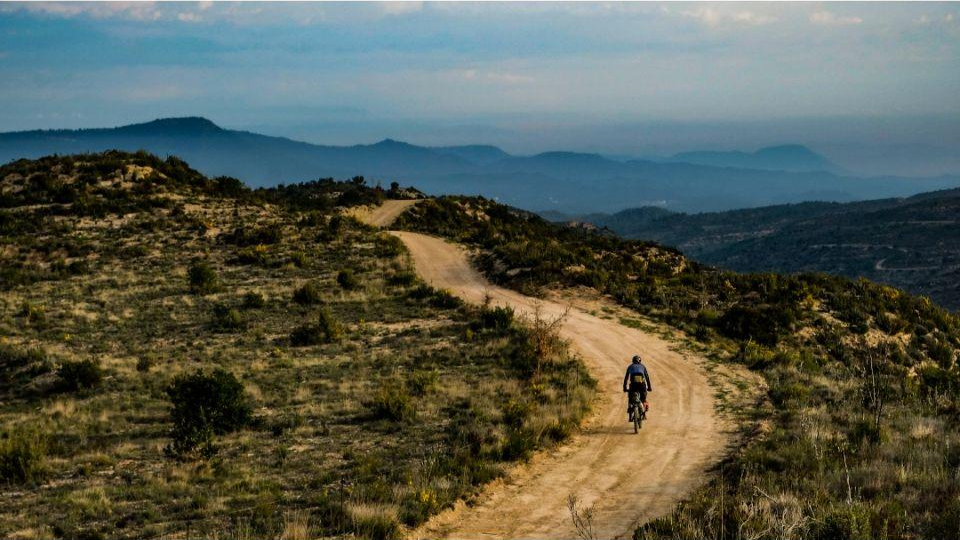
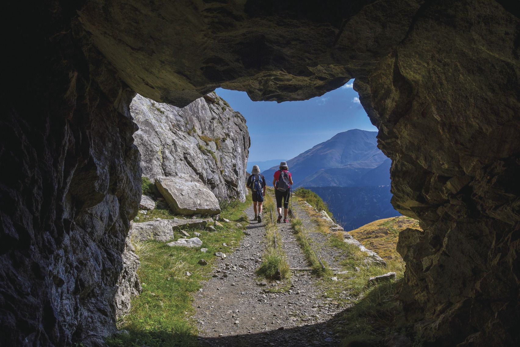
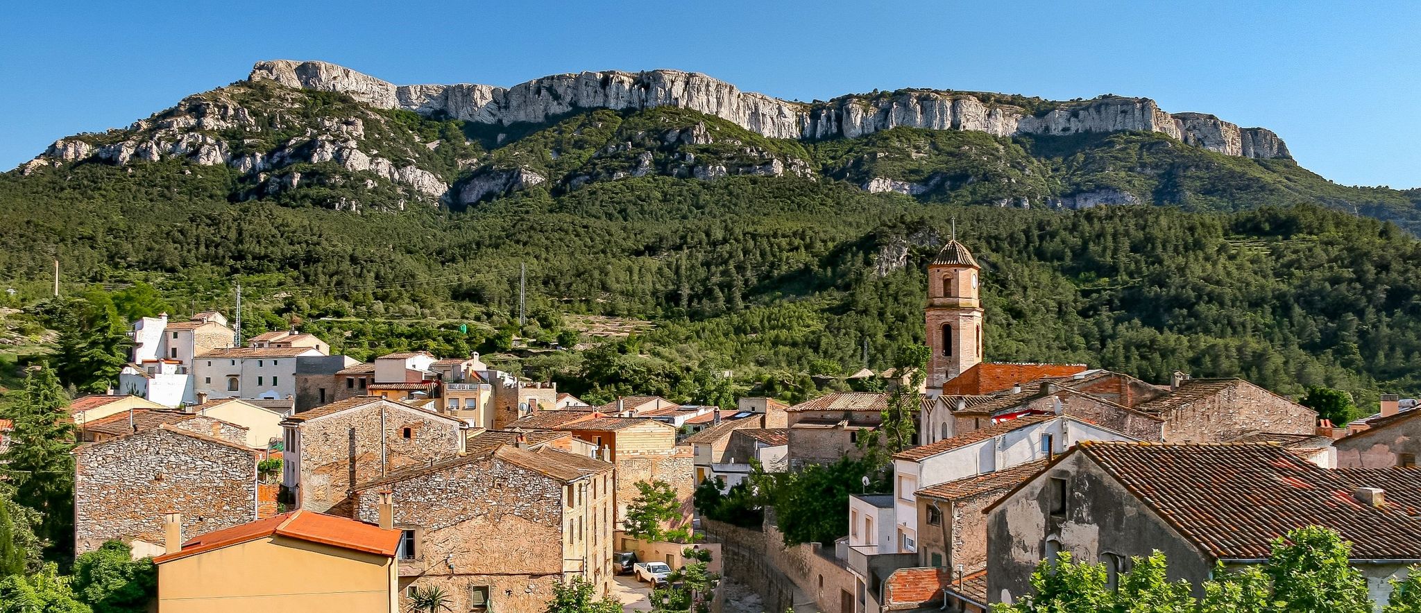
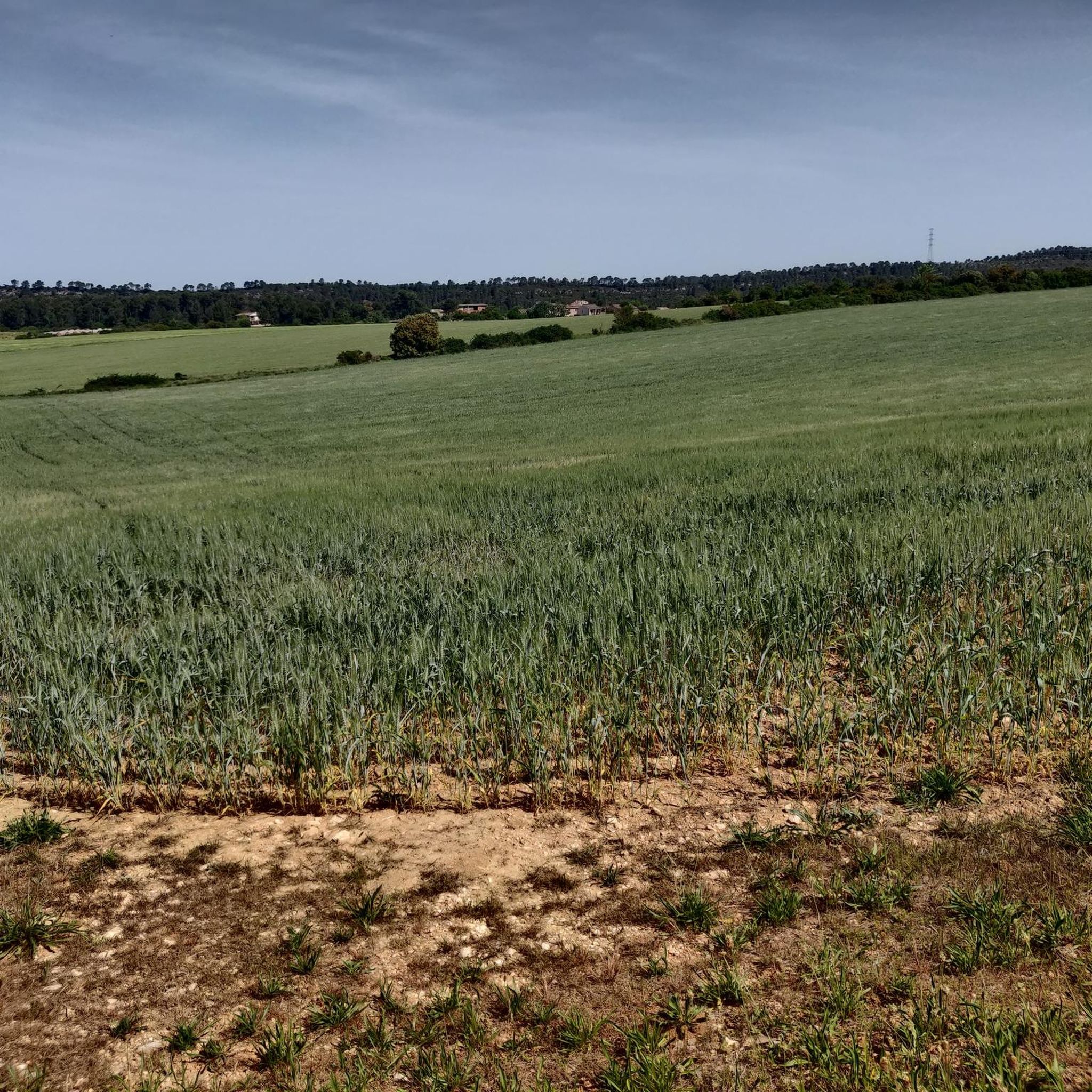

Other adventures around Pontils


Tips from the Community

Vallfogona de Riucorb is a municipality in the Conca de Barberà region, located near the Corb river and on the border with the Urgell region. Previously called "Vallfogona de Lorda" or "de Corbell" or "de Comalats",[1] which was historically the seat of a lordship, Templar subcommand and Templar and Hospitaller command, called Comanda de Vallfogona. It is located on the borders with Segarra, a region to which it had previously and historically always belonged, and Urgell. As a border term, administrative divisions have affected it variably since it belongs to the province of Tarragona, to the judicial district of Valls, but had been of Cervera and Montblanc; until 1957 it was of the bishopric of Vic and then passed to the archdiocese of Tarragona. In the 1980s XX became part of the Conca de Barberà region to make the regions coincide with the provincial limits of Tarragona and that of Segarra with the province of Lleida. Source: Wikipedia
0
0

Not just this road, the entire area is a myriad of beautiful roads and spectacular walls. It's the Ardennes of Catalonia.
0
0

Parking area 🅿️ Restaurant and starting point for the different routes in the area.
0
0

town with medieval charm to reach or from which to depart on the multiple routes, around "la Vall del Corb". Climatic refuge between L'Urgell and La Segarra and from there you can connect with Conca de Barberá
0
0
Through the Camí de la Serra you reach the town of Forès, with one of the well-known classical walls. The prize is the spectacular view you'll have from above of the entire Conca de Barberà, a panorama you'll never forget.
0
0
It is the quintessential wall of the Segarra region. It's simply spectacular. It has beauty and above all toughness. It is 850 meters long with a maximum slope of 20.5%, which is at the end of the wall when you reach the town. The beauty of the wall lies in the fact that you can see the town of Forés in the background and you know that you have to climb to the top in a short space... and above all in the views from the town. Forés is one of the most beautiful places in Catalonia without a doubt. For more details, visit the website of the "Clásica dels Murs de Cervera" -- classicadelsmurs.cat
0
0

The Vallfogona de Riucorb spa was built in 1901 to take advantage of the thermal waters that spring up in the area. It is one of several spas that are spread throughout this region.
0
0
Guimerà is simply spectacular. Its historic center is built in stone, as well as its church and tower. If you get lost in its streets it is as if you get into a time machine that transports you to the Middle Ages.
0
0
Frequently Asked Questions
What kind of terrain can I expect when road cycling around Pontils?
Road cycling around Pontils features a landscape characterized by rolling hills, agricultural areas, and scattered woodlands. The terrain includes moderate ascents and descents, typical of inland Catalonia, offering varied gradients for cyclists.
How many road cycling routes are available around Pontils?
There are nearly 50 road cycling routes available around Pontils, offering a wide range of options for different skill levels and preferences.
What is the general difficulty level of road cycling routes in Pontils?
The routes in Pontils cater to various abilities. You'll find 1 easy route, 34 moderate routes, and 14 difficult routes, ensuring options for both casual riders and experienced cyclists seeking a challenge.
Are there challenging road cycling routes with significant elevation around Pontils?
Yes, for those seeking a challenge, there are 14 difficult routes. For example, the Collet de la Serra – View of La Creu de Lavit loop from la Llacuna covers 63.1 km with over 985 meters of elevation gain.
Can beginners find suitable road cycling routes in Pontils?
Absolutely. While there is 1 designated easy route, many of the 34 moderate routes are also suitable for beginners looking to gradually increase their endurance. These routes offer a balanced ride through the local landscape.
Are there any circular road cycling routes around Pontils?
Yes, many routes around Pontils are designed as loops. For instance, the La Llacuna loop from la Llacuna is a popular moderate 51.3 km circular path, and the Santa Coloma de Queralt – Plaça Major loop from Cal Mensa is another great option.
What kind of landmarks or attractions can I see along the road cycling routes?
The routes often connect small villages and traverse open countryside, providing views of the surrounding rural environment. You can also find historical sites and viewpoints. For example, you might encounter highlights such as Sant Miquel de Montclar or Roc del Cogulló Viewpoint. There are also several castles in the wider area, including Selma Castle and Miralles Castle.
What do other road cyclists enjoy most about road cycling in Pontils?
The area is highly rated by the komoot community, with an average score of 4.8 stars from over 29 reviews. Cyclists often praise the varied terrain, the connections between small villages, and the scenic views of the rural environment.
Are there any routes that pass through towns or villages where I can find cafes?
Many routes connect small villages, offering opportunities to stop. For example, the La Llacuna loop from la Llacuna starts and ends in the village of La Llacuna, which would likely have amenities. Similarly, the Santa Coloma de Queralt – Plaça Major loop from Cal Mensa leads through rural roads and past small towns.
What is the typical length of road cycling routes in Pontils?
The routes vary in length, but many are substantial. For example, the Collet de la Serra – View of La Creu de Lavit loop from la Llacuna is 63.1 km, while the Pontons - Torrelles de Foix – L'Avellà loop from la Llacuna is 54.1 km. You'll find options ranging from shorter rides to longer, more demanding tours.
Are there any specific routes that offer particularly scenic viewpoints?
While specific viewpoints are often integrated into routes, you can look for routes that pass by highlights such as Roc del Cogulló Viewpoint or those that traverse higher elevations like Montagut Peak (962 m) for expansive views of the surrounding landscape.
Most popular attractions around Pontils

Get inspired with the komoot mobile app


Explore more
Browse the best Road cycling routes in other regions.
