The best cycling routes around San Bartolomé De Pinares
4.8
(10)
448
riders
64
rides
Touring cycling around San Bartolomé De Pinares offers a diverse landscape, featuring a mix of plains, gentle hills, and challenging mountain passes. The region's varied topography, including the Sierra de Villafranca, provides continuous ascents and descents suitable for different cycling preferences. Well-maintained asphalt roads often lead through natural landscapes, offering panoramic views. This area is characterized by its varied terrain, making it a compelling destination for touring cyclists.
Best touring cycling routes around San Bartolomé De Pinares
- The most popular…
Last updated: July 1, 2026
5.0
(1)
10
riders
43.3km
03:00
820m
820m
Hard bike ride. Very good fitness required. Mostly paved surfaces. Suitable for all skill levels.
10
riders
Hard bike ride. Very good fitness required. Mostly paved surfaces. Suitable for all skill levels.

Sign up for free
13
riders
35.5km
03:30
600m
600m
Hard bike ride. Very good fitness required. You may need to push your bike for some segments of this route.
5.0
(1)
8
riders
Hard bike ride. Very good fitness required. You may need to push your bike for some segments of this route.
8
riders
61.0km
04:07
1,040m
1,040m
Hard bike ride. Very good fitness required. Mostly paved surfaces. Suitable for all skill levels.
Get access to more routes and recommendations from other explorers.
Sign up for free
Already have an account?
Our route recommendations are based on thousands of hikes, rides, and runs completed by other people on komoot.
Start today with a free account
Your next adventure awaits.
Login or Signup
Tips from the Community

Observatory within the tour.
0
0

The cycle trip continues along the lane of the Jacobean route until it connects with the Cebreros highway. The route continues along the side of the road, passing through the popular port of Arrebatacapas and another descent to Cebreros, a mountain town with a wine-growing tradition that would be a good place to finish the second stage when organized as a three-day trip. The Camino de Levante descends from the port along a mountain path that is quite technical and difficult by bicycle, suitable for trail experts and everyone can choose. The path begins next to the port sign and ends where the road enters the urban complex. The track goes down the road, crosses the town and continues the descent along the old Camino Real de Toledo, used by the funeral procession of Isabel la Católica when they carried her remains from Medina del Campo to Granada. At the Cebreros exit there are remains of the old medieval road and on the Alberche River there are the monumental bridges of Valsordo and Santa Yusta, used since Roman times, although they have undergone several reconstructions throughout history. The climb coincides with the last arrows of the Camino de Levante and deviates through the Puente Nuevo urbanization towards San Martín de Valdeiglesias, following the markings of the GR-10 long-distance path, with several hard ramps on the Camino de la Aliseda.
0
0

The Hermitage of Santisimo Cristo de Gracia may date from the late 15th century. The ranchers' brotherhood was founded in this hermitage.
1
0

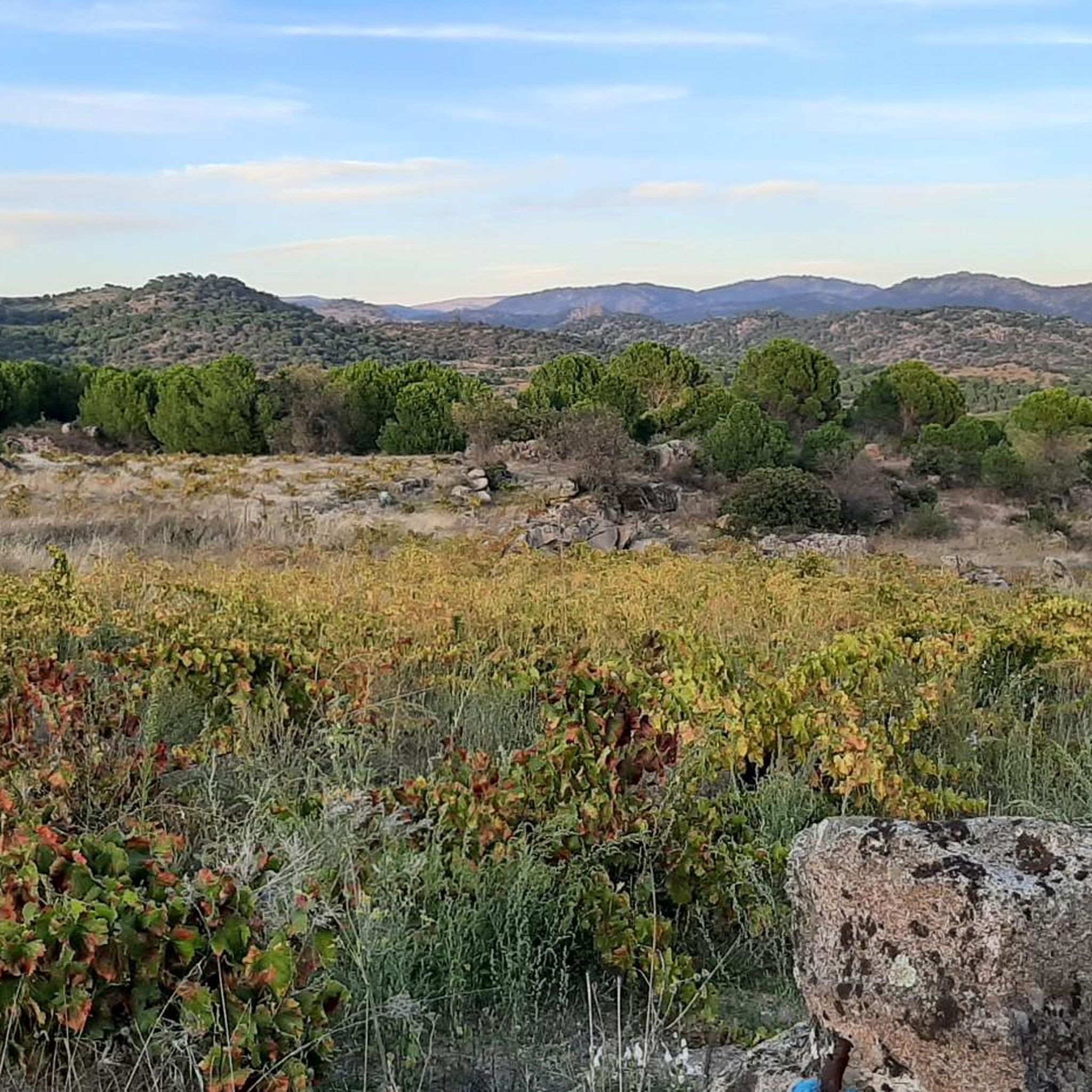
The center of Santa Cruz de Pinares has a great natural diversity, where it is flagged by the Cuerda de los Polvisos to the north, with springs, a leafy oak grove, pine groves and natural pools.
1
0
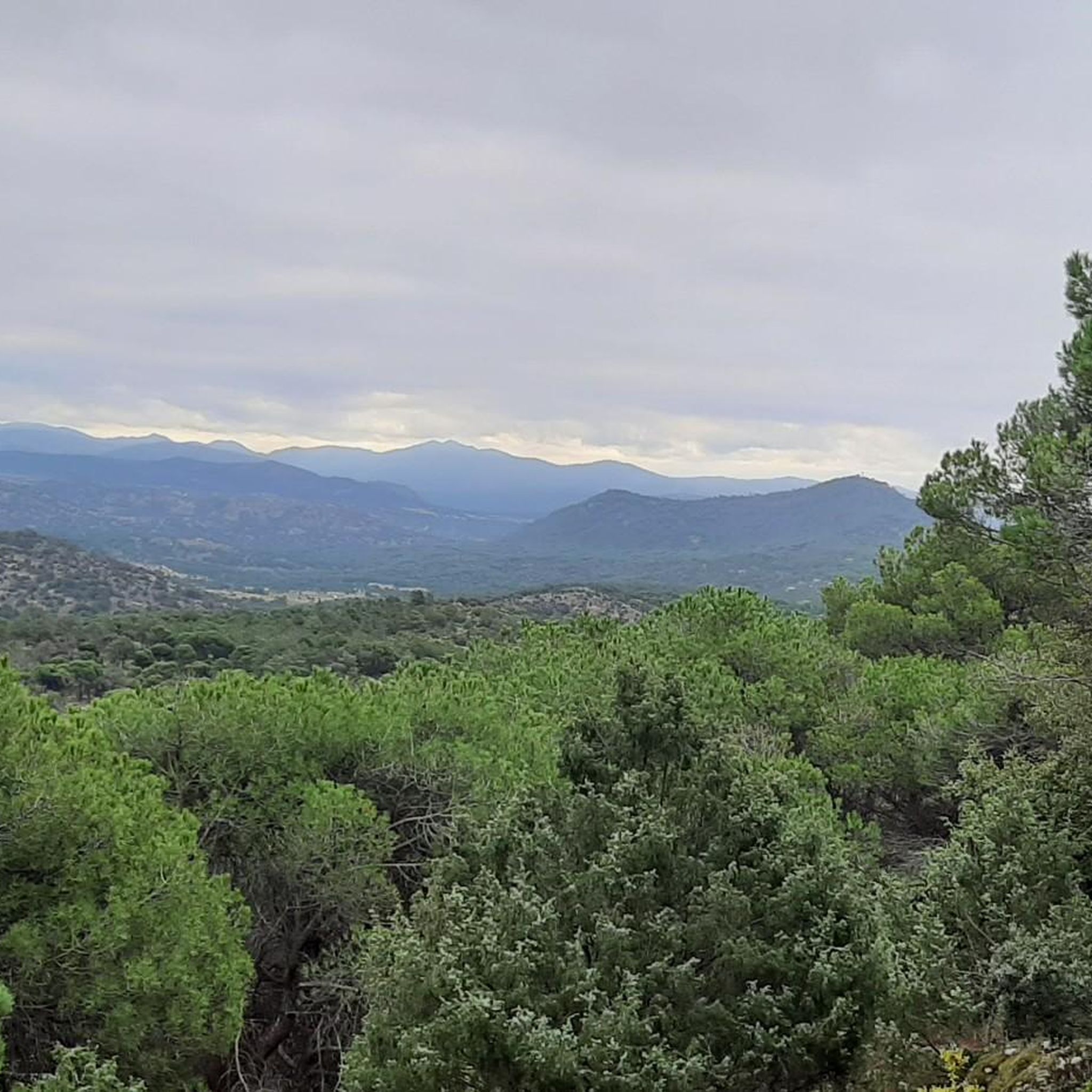
From this point there are very nice and wide views of the town of Cebreros and in the background, Cerro Guisando, one of the last mountains of the Sierra de Gredos on the east side.
1
0
In the Alberche Valley there is this beautiful bridge that crosses the Río Becedas and is of Roman origin made with stones from the area. It's worth getting there!
1
0
Small stone bridge that goes over the Arroyo de la Pizarra. The path that passes near the bridge is called Camino Rasueros.
1
0

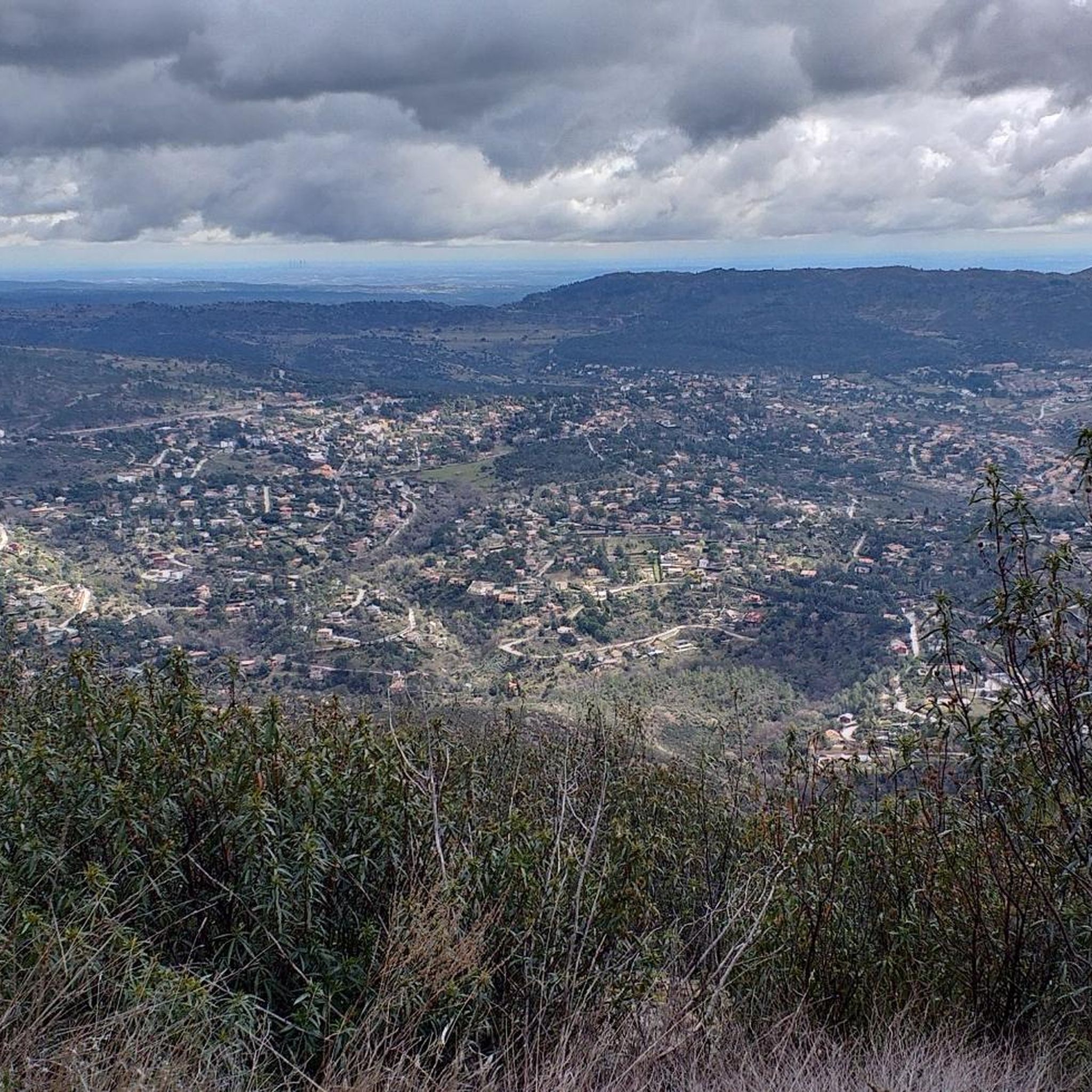
From the Burguillo reservoir dam you can see a spectacular panoramic view of the sheet of water surrounded by mountains and forests.
1
0
Frequently Asked Questions
How many touring cycling routes are available in San Bartolomé De Pinares?
There are over 70 touring cycling routes in San Bartolomé De Pinares, offering a wide variety of options for different skill levels and preferences.
What kind of terrain can I expect on touring cycling routes in San Bartolomé De Pinares?
The region features a diverse topography, including a mix of plains, gentle hills, and challenging mountain passes. You'll find continuous ascents and descents, with many routes utilizing well-maintained asphalt roads. The Steep climb on the GR 10 between Zarzalejo and Robledo de Chavela is an example of a challenging segment.
What is the best time of year for touring cycling in San Bartolomé De Pinares?
San Bartolomé De Pinares enjoys a mild climate for much of the year, making it suitable for touring cycling without significant seasonal limitations. Spring and autumn generally offer the most pleasant temperatures for longer rides.
Are there touring cycling routes suitable for beginners in San Bartolomé De Pinares?
While many routes are classified as difficult, there are a few easier options available. For example, a circuit around a local reservoir is described as less physically demanding. Overall, there are 3 easy and 8 moderate routes to choose from.
Where can I find challenging touring cycling routes in the area?
For experienced cyclists seeking a challenge, the region offers numerous difficult routes. The Historic center of Cebreros – Puerto de Arrebatacapas loop from Herradón-La Cañada is a difficult 32.0-mile (51.5 km) path with challenging climbs and extensive panoramic views. The Ascent to Puerto del Pico is also known for its steep angles and inclines.
Are there any circular touring cycling routes in San Bartolomé De Pinares?
Yes, many of the touring cycling routes in the area are loops. A popular example is the Puente de Rasueros – Historic center of Cebreros loop from Cebreros, which is 22.9 miles (36.8 km) long and leads through varied landscapes.
What natural features or viewpoints can I see along the touring cycling routes?
The Sierra de Villafranca provides a stunning backdrop for many routes. You can also explore various 'miradores' (viewpoints) such as Mirador del Canchal and Risco de los Dineros Viewpoint, which offer panoramic views. The El Burguillo Reservoir and Navalperal de Pinares Reservoir are also notable natural features.
Are there any historical or cultural landmarks to explore while cycling?
Yes, the region offers points of interest beyond cycling. You might encounter the 'Ruta de la mina' (Mine Route) which explores the area's historical landscape. The Puente Mocha over the Cofio River is a picturesque bridge. Near Las Navas del Marqués, there's also a 'Sculpture Route' in Dehesa Boyal.
Are there family-friendly touring cycling options in San Bartolomé De Pinares?
While specific family-friendly touring routes are not detailed, the 'Sculpture Route' near Las Navas del Marqués is described as an easy path ideal for families. Less physically demanding options like a reservoir circuit could also be suitable for families.
What do other cyclists say about touring cycling in San Bartolomé De Pinares?
The touring cycling routes in San Bartolomé De Pinares are highly rated by the komoot community, with an average score of 4.4 stars from over 10 reviews. More than 400 touring cyclists have used komoot to explore the region's varied terrain, often praising the scenic vistas and diverse landscapes.
What is the average duration of touring cycling routes in this region?
The duration of routes varies significantly based on distance and difficulty. For example, the Views of Hoyo de Pinares – La Escondida loop from El Hoyo de Pinares, a 26.9-mile (43.3 km) difficult trail, typically takes about 3 hours to complete. Longer routes can take upwards of 4 hours.
Are the touring cycling routes in San Bartolomé De Pinares mostly paved?
Many of the routes in the area feature mostly paved surfaces, often on well-maintained asphalt roads. However, some routes might include unpaved or more technical segments, which are generally more suitable for experienced cyclists.
Most popular routes around San Bartolomé De Pinares
Most popular attractions around San Bartolomé De Pinares

Get inspired with the komoot mobile app


Explore more
Browse the best Cycling routes in other regions.
