The best road cycling routes around Sariegos
4.2
(81)
4,707
riders
137
rides
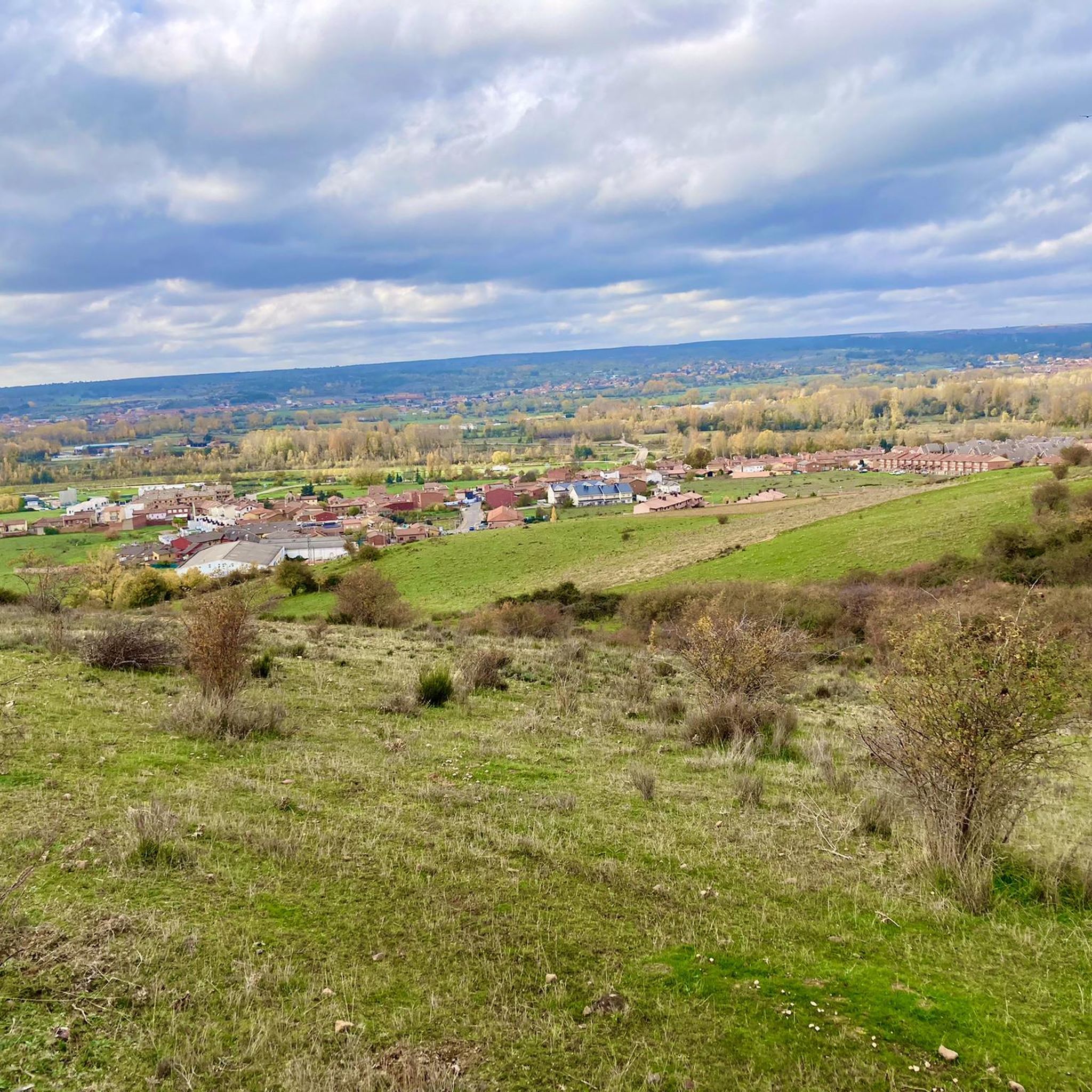
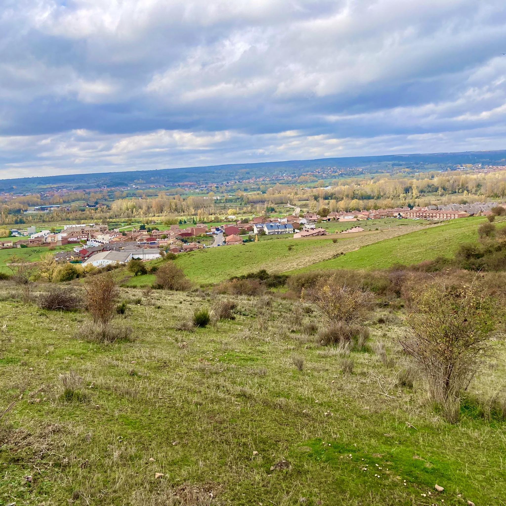
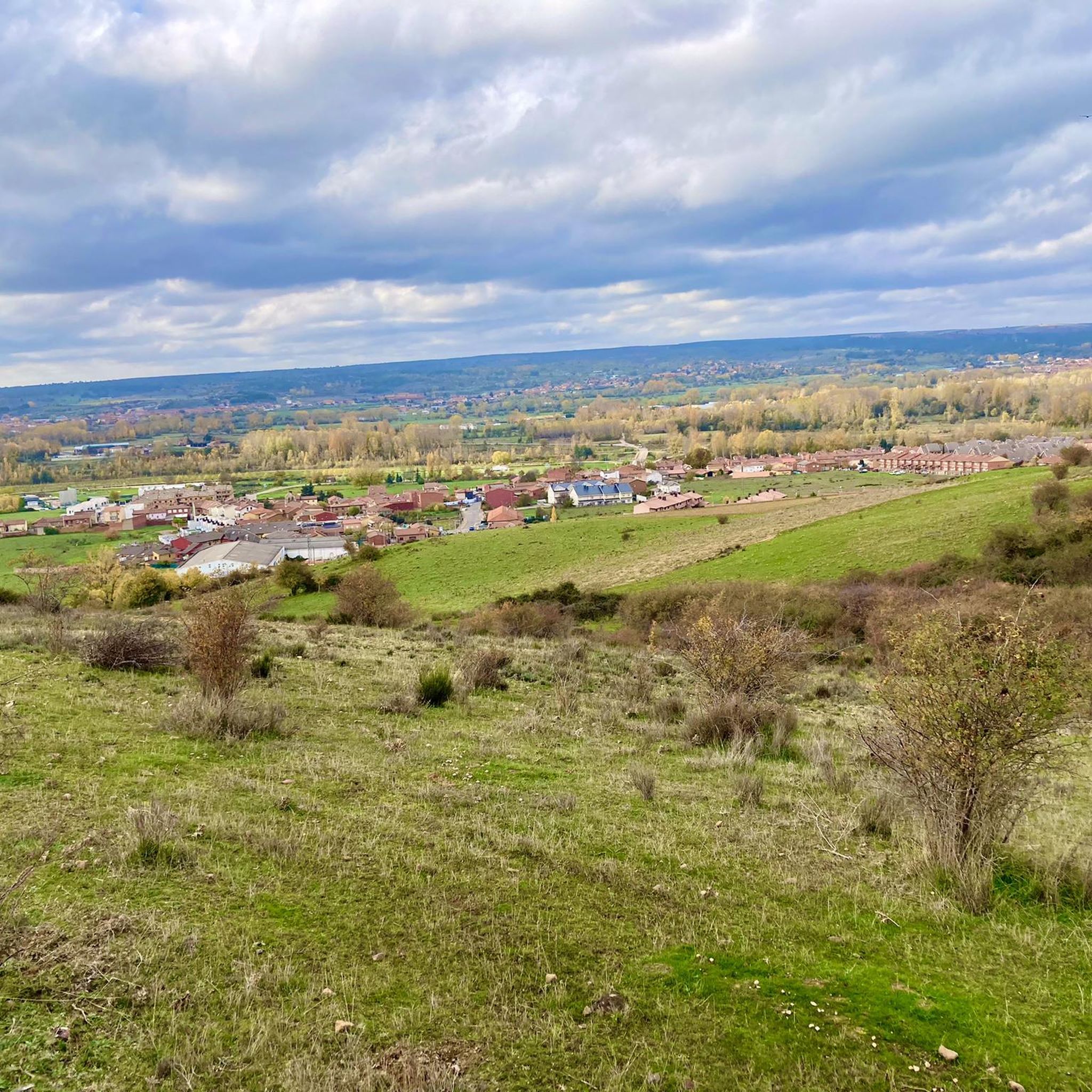
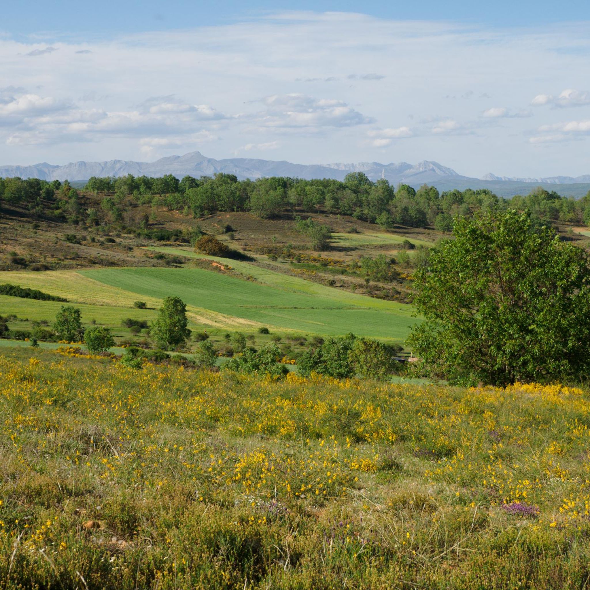
Road cycling routes around Sariegos present a varied topography, ranging from flat river plains to challenging mountainous terrain. The Bernesga River valley provides predominantly flat routes, while areas to the east feature abrupt elevation increases. To the west, ascents are gentler but progressive, offering endurance tests for road cyclists. This blend of terrain caters to a wide range of cycling abilities and preferences.
Best road cycling routes around Sariegos
- The most popular road cycling route is Vegacervera Gorge – Matueca…
Last updated: July 2, 2026
4.5
(4)
109
riders
107km
04:48
1,010m
1,010m
Hard road ride. Very good fitness required. Mostly well-paved surfaces and easy to ride.
4.0
(4)
109
riders
45.7km
02:06
430m
430m
Moderate road ride. Good fitness required. Mostly well-paved surfaces and easy to ride.

Sign up for free
5.0
(1)
59
riders
106km
04:42
1,020m
1,020m
Hard road ride. Very good fitness required. Mostly well-paved surfaces and easy to ride.
5.0
(1)
64
riders
99.9km
04:18
780m
780m
Moderate road ride. Good fitness required. Mostly well-paved surfaces and easy to ride.
60
riders
79.5km
03:16
510m
510m
Moderate road ride. Good fitness required. Mostly well-paved surfaces and easy to ride.
Get access to more routes and recommendations from other explorers.
Sign up for free
Already have an account?
Our route recommendations are based on thousands of hikes, rides, and runs completed by other people on komoot.
Start today with a free account
Your next adventure awaits.
Login or Signup

Tips from the Community

Nocedo Waterfall, also known as Cola de Caballo Waterfall, is one of the most accessible and spectacular natural spots in the Central León Mountains, located near Nocedo de Curueño, in the municipality of Valdepiélago. Approximately 4 meters high, it was formed by the Valdecésar stream as it negotiates a steep drop on its way to the Curueño River.
4
0

The Vegacervera Gorges are a protected natural area in the north of the province of León, Castile and León, Spain, near Asturias. • It is an impressive canyon carved by the Torío River, with limestone walls that exceed 100 meters in height and, in some sections, barely 15 meters wide. • The area encompasses municipalities such as Vegacervera, Cármenes, Matallana de Torío, and Valdepiélago.
0
0

Alfa Zone in La Robla, an amazing place with very nice descents for any level, preferably when it's not too hot.
1
0

Sculpture near the main road that leads to Asturias. Made of iron on a stone plinth and next to it a wagon of those used in the mines of this area to extract mineral. Mining past of the town that until recently had a thermal power plant.
1
0

It is 50 meters from the road. It is accessed by some footbridges. Bike on the shoulder Please be calm: be discreet
0
0

Easy 6 km climb on the CL626 road to Alto de Olleros from La Magdalena with an average gradient of 3.3% at 1180 masl.
1
0
Tapia de la Ribera is a small town in the Luna River valley on the banks of the Selga de Ordás reservoir. Near the river, on the outskirts of the village, are the ruins of a 14th century castle of which only the watchtower remains.
1
0
Frequently Asked Questions
How many road cycling routes are available around Sariegos?
There are over 140 road cycling routes available around Sariegos, offering a wide range of options for different skill levels and preferences.
What types of terrain can I expect when road cycling in Sariegos?
Sariegos offers a diverse topography for road cyclists. You'll find predominantly flat routes along the Bernesga River valley, ideal for leisurely rides. As you move away from the river, particularly to the east, the terrain becomes more challenging with abrupt elevation increases. To the west, ascents are gentler but progressive, providing endurance tests. Mountainous zones with peaks like Hoja (1004 m) and La Camparona (1066 m) also offer significant climbs and panoramic views.
Are there road cycling routes suitable for beginners or those seeking an easier ride?
Yes, Sariegos has numerous options for beginners. Approximately 33 routes are classified as easy, often found along the flat river plains of the Bernesga River valley. These routes are perfect for leisurely rides or warm-ups.
What are some challenging road cycling routes for experienced riders?
For experienced riders seeking a challenge, Sariegos offers routes with significant elevation gain. One such route is the Vegacervera Gorge – Matueca de Torío Church loop from Villa Romana, a difficult 66.7-mile (107.4 km) trail with over 1000 meters of elevation gain, taking about 4 hours 47 minutes to complete.
Are there any loop road cycling routes in Sariegos?
Yes, many road cycling routes in Sariegos are designed as loops, allowing you to start and end at the same point. An example is the Villa Romana de Navatejera – Portillín loop from Villa Romana, a moderate 28.4-mile (45.7 km) path that offers a mix of terrain.
What landmarks or points of interest can I see along road cycling routes near Sariegos?
While cycling in Sariegos, you're close to the city of León, which offers several historical and cultural attractions. You could visit the iconic León Cathedral, explore the Roman City Walls of León, or see the San Marcelo Square and the Lion Sculpture. These can be great additions to your cycling trip.
What do other road cyclists enjoy most about road cycling in Sariegos?
The road cycling routes around Sariegos are highly rated by the komoot community, with an average score of 4.3 stars from over 50 reviews. Cyclists often praise the varied terrain, which caters to all abilities, from the flat Bernesga River plains to the challenging climbs in the mountainous zones.
What is the best season for road cycling in Sariegos?
Given the varied topography, spring and autumn generally offer the most pleasant conditions for road cycling in Sariegos, with milder temperatures. Summer can be warm, especially in the river plains, while mountainous areas might offer cooler temperatures. Always check local weather forecasts before heading out.
Are there any road cycling routes that pass through scenic natural features?
Yes, several routes in Sariegos take you through scenic natural features. For instance, the Matueca de Torío Church – Vegacervera Gorge loop from Villaquilambre, a 65.9-mile (106.1 km) trail, leads through varied landscapes including the notable Vegacervera Gorge, offering impressive views.
Are there options for moderate-difficulty road cycling routes?
Absolutely. Sariegos features a significant number of moderate-difficulty routes, with approximately 87 available. These routes offer a good balance of distance and elevation, such as the La Robla Town Center – Convento de San Marcos loop from Villa Romana, a 99.9-kilometer route with around 780 meters of elevation gain.
Can I find routes that are a good length for a half-day ride?
Yes, there are many routes suitable for a half-day ride. For example, the Villa Romana de Navatejera – Portillín loop from Villa Romana is a moderate 28.4-mile (45.7 km) path that can be completed in about 2 hours 6 minutes, making it ideal for a shorter excursion.
Most popular attractions around Sariegos

Get inspired with the komoot mobile app


Explore more
Browse the best Road cycling routes in other regions.
