The best walks and hikes around Mambrillas De Lara
4.5
(29)
175
hikers
45
hikes
Hiking around Mambrillas De Lara offers diverse landscapes, characterized by rolling hills, dense forests, and open countryside. The region features varied terrain, including paths through the Sierra de las Mamblas and routes exploring local dolmens and woodlands. These trails provide opportunities to experience the natural environment and historical sites of the area.
Best hiking trails around Mambrillas De Lara
- The most popular hiking route is Sierra de las Mamblas — circular desde Covarrubias, a 8.9 miles (14.3 km) trail…
Last updated: August 17, 2026
5.0
(2)
15
hikers
14.3km
04:38
640m
640m
Moderate hike. Good fitness required. Mostly accessible paths. Sure-footedness required.
3.0
(1)
8
hikers
17.7km
04:55
330m
330m
Moderate hike. Good fitness required. Mostly accessible paths. Sure-footedness required.

Sign up for free
1
hikers
11.9km
03:37
400m
400m
Moderate hike. Good fitness required. Mostly accessible paths. Sure-footedness required.
4.0
(1)
2
hikers
20.0km
05:42
450m
450m
Hard hike. Very good fitness required. Mostly accessible paths. Sure-footedness required.
5.0
(1)
3
hikers
9.87km
02:42
150m
150m
Moderate hike. Good fitness required. Mostly accessible paths. Sure-footedness required.
Get access to more routes and recommendations from other explorers.
Sign up for free
Already have an account?
Our route recommendations are based on thousands of hikes, rides, and runs completed by other people on komoot.
Start today with a free account
Your next adventure awaits.
Login or Signup
Tips from the Community

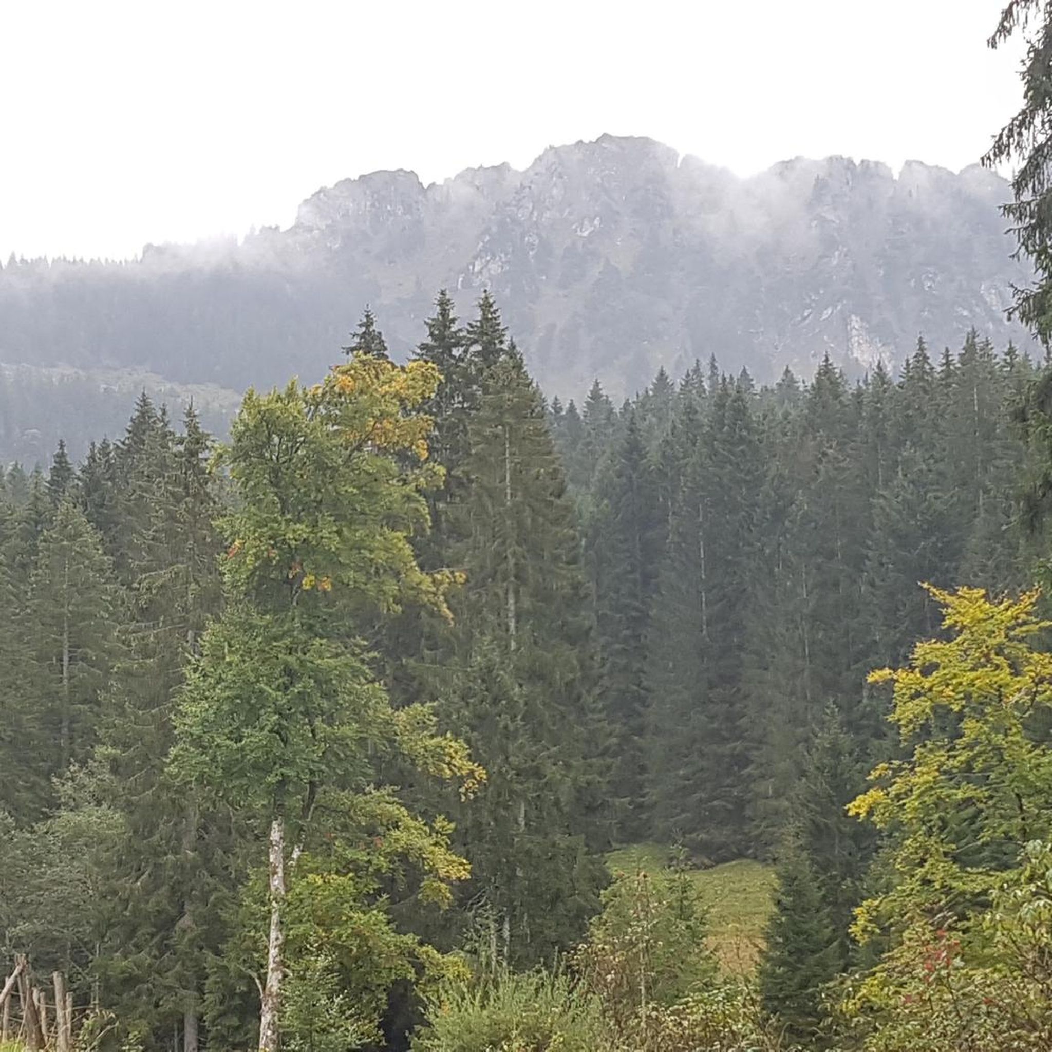
El Castillejo (1,347 m) is a twin peak located in the Sierra de las Mamblas, 5 km north of the town of Covarrubias (Burgos). It owes its name to its natural defensive rock formations. On its summit, an artificial cavity is preserved that served as a strategic watchtower. The mountain offers a spectacular panoramic view of the Arlanza valley and the Sierra de la Demanda. At its foothills lies the Hermitage of Our Lady of Mamblas (Ermita de Nuestra Señora de Mamblas). The terrain features rocky barriers that served as a defensive settlement in antiquity.
0
0

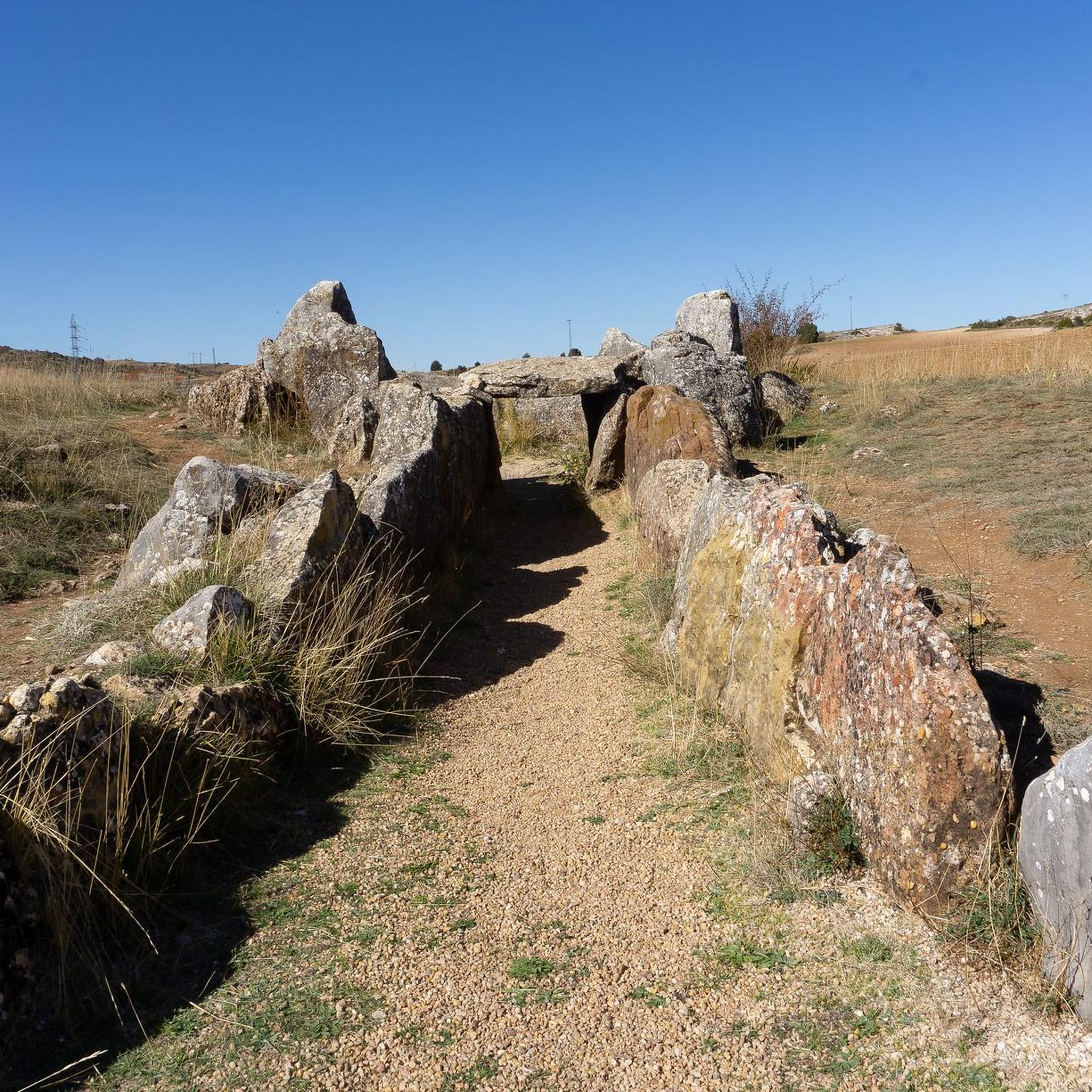
The Cubillejo/Mazariegos dolmen is considered the prototype of the megalithic passage tomb and preserves, on one of the large stone blocks that form its structure, a series of interesting rock carvings.
0
0
Ideal places for mountain biking and hiking routes
0
0
Impressive 7th century hermitage, if you pass near Quintanilla de las Viñas or the Lara area, don't miss it.
0
0

This beautiful town is a tourist destination where we find shops, accommodation and fountains.
0
0
Frequently Asked Questions
How many hiking trails are there in Mambrillas De Lara?
Mambrillas De Lara offers a diverse range of hiking experiences with over 35 trails. These routes vary in difficulty, catering to different preferences, from easy strolls to more challenging treks through the region's varied landscapes.
What is the best time of year to go hiking in Mambrillas De Lara?
The best time to hike in Mambrillas De Lara is typically during spring (April to June) and autumn (September to October). During these seasons, the weather is mild and pleasant, and the natural scenery, with blooming wildflowers or vibrant autumn foliage, is particularly beautiful. Summer can be warm, while winter offers a different, often quieter, experience.
Are there any easy or family-friendly hiking options in Mambrillas De Lara?
Yes, Mambrillas De Lara has several easy and family-friendly hiking options. There are 6 routes classified as easy, perfect for a relaxed outing with children or those preferring less strenuous walks. These trails often explore the gentler rolling hills and woodlands of the area.
Are there challenging hikes available in Mambrillas De Lara?
For those seeking a challenge, Mambrillas De Lara offers 3 difficult routes. One such demanding trail is the Mirador de las Penas del Tuero por Retuerta — circular desde Covarrubias, which covers over 20 km and includes significant elevation changes, rewarding hikers with expansive views.
What kind of natural landscapes can I expect to see on the trails?
The hiking trails in Mambrillas De Lara showcase diverse natural landscapes, including rolling hills, dense forests, and open countryside. You'll find paths winding through the Sierra de las Mamblas, ancient woodlands like Enraizados Forest, and agricultural lands, providing a rich variety of scenery.
Are there any historical sites or landmarks to see while hiking?
Yes, the region is rich in history. You can explore sites like the Dolmen of Cubillejo de Lara, an ancient megalithic structure. The Quintanilla de las Viñas, Peñalara, and Cubillejo Dolmen Loop is a great route that specifically explores these historical sites alongside natural scenery.
Are there any good viewpoints in the area?
Hikers can enjoy several scenic viewpoints in Mambrillas De Lara. The Peñas del Tuero Viewpoint offers panoramic vistas of the surrounding landscape. Additionally, the Alto de Peña Alta (1078 m) provides elevated perspectives of the region.
What do other hikers enjoy the most about hiking in Mambrillas De Lara?
The komoot community highly rates hiking in Mambrillas De Lara, with an average score of 4.5 stars from over 20 reviews. Hikers often praise the varied terrain, the opportunity to explore both natural beauty and historical sites, and the well-maintained paths that make for an enjoyable experience.
Are there any circular hiking routes in Mambrillas De Lara?
Many of the trails in Mambrillas De Lara are circular, offering convenient starting and ending points. For example, the Hortigüela, Enraizados Forest and San Cristóbal Loop is a popular circular route that takes you through a beautiful forest and past local landmarks.
What should I bring for a hike in Mambrillas De Lara?
When hiking in Mambrillas De Lara, it's advisable to bring appropriate footwear for varied terrain, water, snacks, and sun protection. Depending on the season, layers of clothing are recommended. For longer routes, a map or GPS device is useful, though many trails are well-marked.
Is Mambrillas De Lara suitable for winter hiking?
Winter hiking in Mambrillas De Lara is possible, offering a quieter and often picturesque experience. However, conditions can vary, with colder temperatures and potential for frost or light snow. It's essential to check weather forecasts, wear warm, waterproof clothing, and be prepared for shorter daylight hours. Some trails might be less accessible depending on snow cover.
Are there any trails that pass through unique natural features?
Yes, some trails in Mambrillas De Lara lead through unique natural features. The region is known for its ancient forests, such as the Enraizados Forest, which you can experience on routes like the Hortigüela, Enraizados Forest and San Cristóbal Loop. These areas offer a chance to connect with the local flora and fauna.
Most popular attractions around Mambrillas De Lara

Get inspired with the komoot mobile app


Explore more
Browse the best Hikes in other regions.
