The best walks and hikes around Dłubniański Park Krajobrazowy
4.6
(1400)
25,932
hikers
545
hikes
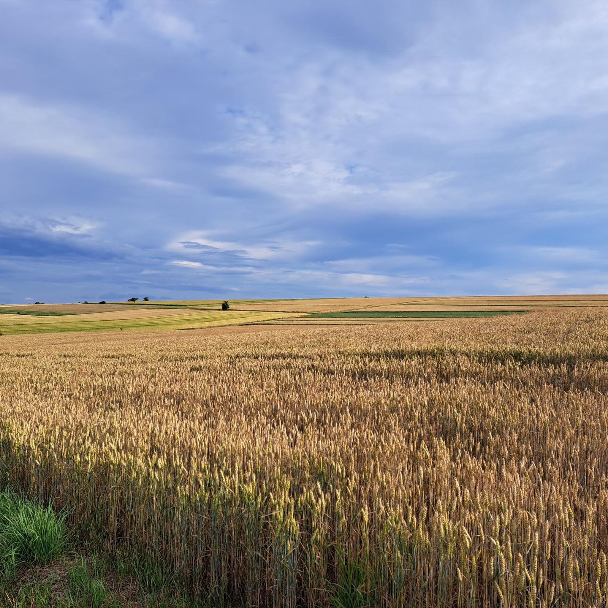
Hiking around Dłubniański Park Krajobrazowy offers diverse terrain characterized by picturesque limestone rock formations and the meandering Dłubnia River. The park is rich in natural water resources, including numerous cold springs and the striking Jordan karst spring. This landscape provides varied hiking opportunities, from gentle paths along river valleys to routes exploring geological features.
Best hiking trails around Dłubniański Park Krajobrazowy
- The most popular hiking route is Hydrographers' Spring – Monastery in Imbramowice loop from Imbramowice, a 7.9 miles…
Last updated: October 17, 2026
5.0
(2)
24
hikers
12.3km
03:18
150m
150m
Moderate hike. Good fitness required. Easily-accessible paths. Suitable for all skill levels.
5.0
(2)
27
hikers
12.0km
03:12
130m
130m
Moderate hike. Good fitness required. Easily-accessible paths. Suitable for all skill levels.

5
hikers
2.55km
00:42
40m
50m
Easy hike. Great for any fitness level. Easily-accessible paths. Suitable for all skill levels.
4.9
(46)
443
hikers
Moderate hike. Good fitness required. Easily-accessible paths. Suitable for all skill levels.
5.0
(2)
26
hikers
10.1km
02:49
180m
180m
Moderate hike. Good fitness required. Easily-accessible paths. Suitable for all skill levels.
Get access to more routes and recommendations from other explorers.
Already have an account?
Our route recommendations are based on thousands of hikes, rides, and runs completed by other people on komoot.
Start today with a free account
Your next adventure awaits.

Tips from the Community

The source is located on private property. Entrance fee 10 zł.
0
0

A great place for a souvenir photo :)
0
0

Now part of the Collection https://www.komoot.com/de-de/collection/3600632/-naturdenkmaeler-besondere-baeume-und-weitere-schaetze-der-natur
1
0

At least the parking meters in the valley here accept debit cards. That wasn't the case everywhere. The castle itself is unspectacular; apart from the views of the valley, only the entrance gate is impressive. The tower itself offers almost no views, just a continuous loop of films with beautiful aerial shots.
1
0

The castle in Ojców is one of the most interesting ruins on the Trail of the Eagles' Nests, located on Castle Hill in the Ojców National Park. It was built in the 14th century on the initiative of Casimir the Great and served as a royal guardhouse. The characteristic defensive tower, entrance gate and fragments of walls, which have undergone conservation work in recent years, have survived to this day. Currently, you can visit not only the courtyard, but also the interior of the tower and the new viewing platform with a panorama of the Prądnik Valley.
3
1

View of the magnificent Krakow Gate and nearby rocks to the west, and on the other side (east) the Crown Mountain, Glove and Ciemna Caves. A wonderful place in the Prądnik Valley. You are also at the Spring of Love (well, you're lucky!) - a karst spring. The water flowing out of it falls into a reservoir carved in the shape of a heart. There is a bench next to it, so your legs can rest too.
1
0
A beautiful viewing terrace overlooking Ojców. There is a good board indicating which hills/mountains are ahead of you. Those rocks below are impressive! You can see the Krakow Gate and Rusztowa Mountain from here.
1
0
Ruins of King Casimir the Great's castle (14th century). Today, the remaining fortifications, some residential quarters, a tower, and an entrance gate remain. The castle also offers beautiful views of the Prądnik Valley, with Chełmowa Góra to the south. Tickets are required to enter.
2
0
Frequently Asked Questions
What kind of landscape and natural features can I expect to see while hiking in Dłubniański Park Krajobrazowy?
Dłubniański Park Krajobrazowy is known for its picturesque landscapes, often compared to "Little Ojców." You'll encounter distinctive limestone rock formations, such as Durszlak and Sokół, and the meandering Dłubnia River. The park is also rich in water resources, featuring dozens of natural cold springs and pulsating springs. A notable highlight is the Jordan karst spring, forming a beautiful turquoise lake.
Are there easy hiking trails suitable for families or beginners in Dłubniański Park Krajobrazowy?
Yes, Dłubniański Park Krajobrazowy offers a variety of trails, with over 300 easy routes suitable for any fitness level. A great option for a gentle walk is the Hiking loop from Michałowice, which is 2.6 km long and can be completed in about 42 minutes, leading through gentle landscapes.
What historical and cultural attractions can I discover along the trails?
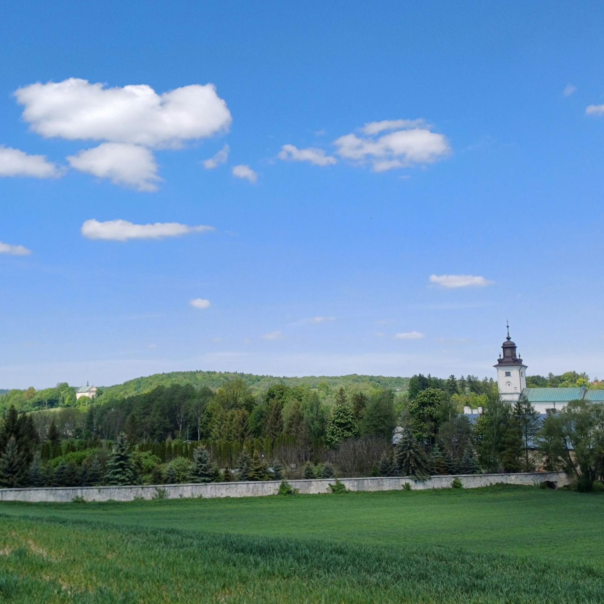
Beyond its natural beauty, the park is dotted with historical and cultural points of interest. You can find old churches, wayside chapels, and nobleman's manor houses. Notable examples include the Baroque monastery complex of the Norbertine nuns, the wooden Church of the Holy Trinity in Iwanowice, and the Church of St. Nicholas in Wysocice. Near the Jordan Spring, you can also see the historic Popielów Manor. For specific religious buildings, consider visiting Monastery in Imbramowice or St. Nicholas Church in Wysocice.
Are there any waterfalls or unique water features to see?
Yes, the park is rich in water resources. You can explore numerous natural cold springs and pulsating springs. The Jordan karst spring is particularly striking, forming a crystal-clear lake with a beautiful turquoise hue. Additionally, you can find Waterfalls on the Dłubnia 😉, which are a popular highlight for hikers.
What do other hikers enjoy most about Dłubniański Park Krajobrazowy?
The area is highly rated by the komoot community, with an average score of 4.6 stars from over 1100 reviews. Hikers often praise the diverse terrain, the distinctive limestone rock formations, and the serene environment created by the Dłubnia River and numerous natural springs. Over 21,000 hikers have used komoot to explore the varied terrain, indicating its popularity and appeal.
Are there any circular hiking routes in the park?
Yes, Dłubniański Park Krajobrazowy offers many circular routes. A popular moderate option is the Hydrographers' Spring – Monastery in Imbramowice loop from Imbramowice, which is 12.8 km long. Another well-liked loop is the Hydrographers' Spring loop from Glanów, a moderate 8.9 km path that explores the park's abundant water features.
Can I bring my dog on the hiking trails in Dłubniański Park Krajobrazowy?
Generally, Dłubniański Park Krajobrazowy is dog-friendly, allowing well-behaved dogs on leashes on most trails. However, it's always advisable to check specific trail regulations or local signage, especially near protected natural monuments or cultural sites, to ensure there are no restrictions.
What is the best time of year to go hiking in Dłubniański Park Krajobrazowy?
The park offers beautiful scenery throughout the year. Spring brings lush greenery and blooming wildflowers, while autumn showcases vibrant foliage. Summer is ideal for longer hikes, and even winter can be picturesque with snow-covered landscapes, though some paths might be more challenging. The best time largely depends on your preference for weather and trail conditions.
Are there any challenging routes for experienced hikers?
While the park has many easy and moderate trails, there are also over 10 difficult routes for those seeking a greater challenge. These routes often involve more significant elevation changes and require good fitness and sure-footedness. An example of a moderate route with more elevation is the Kraków Gate – Rękawica (The Glove) Rock Formation loop from gmina Skała, which covers 12.9 km with over 330 meters of ascent.
What are some of the unique rock formations I can see?
The park is famous for its distinctive limestone rock formations. Keep an eye out for interestingly named features such as Durszlak, Mały Chiński Murek, and Sokół. These geological formations add dramatic beauty and visual interest to the hiking experience. The Kraków Gate – Rękawica (The Glove) Rock Formation loop from gmina Skała specifically highlights one of these unique formations.
Are there any specific viewpoints or scenic spots recommended for hikers?
Many routes in Dłubniański Park Krajobrazowy offer scenic pathways and viewpoints, particularly those winding through the river valley or ascending to higher limestone formations. The 14th-century ruins of King Casimir the Great's castle, though requiring tickets for access, offer panoramic views of the Prądnik Valley, which is adjacent to the park and shares similar geological features.
Most popular routes around Dłubniański Park Krajobrazowy
Most popular attractions around Dłubniański Park Krajobrazowy

Get inspired with the komoot mobile app


Explore more
Browse the best Hikes in other regions.
