The best walks and hikes around Cabra Del Santo Cristo
4.5
(2)
17
hikers
2
hikes
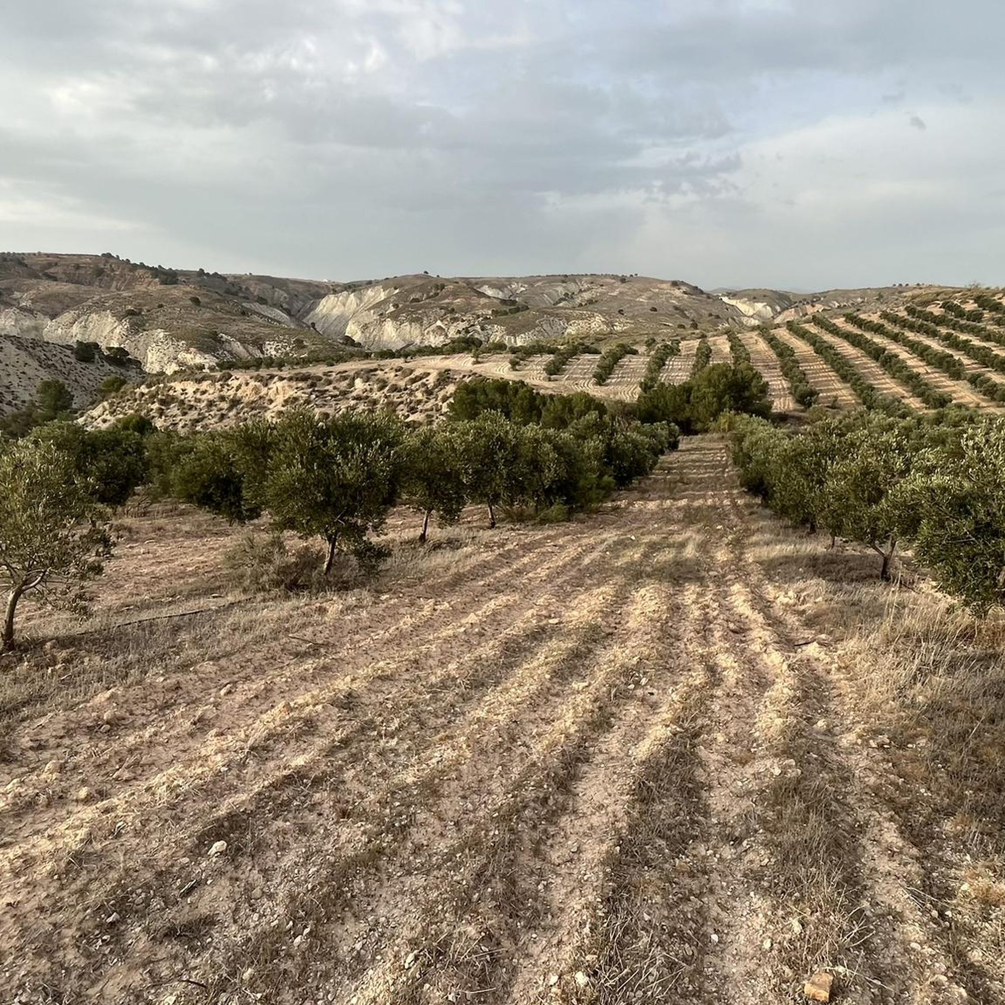
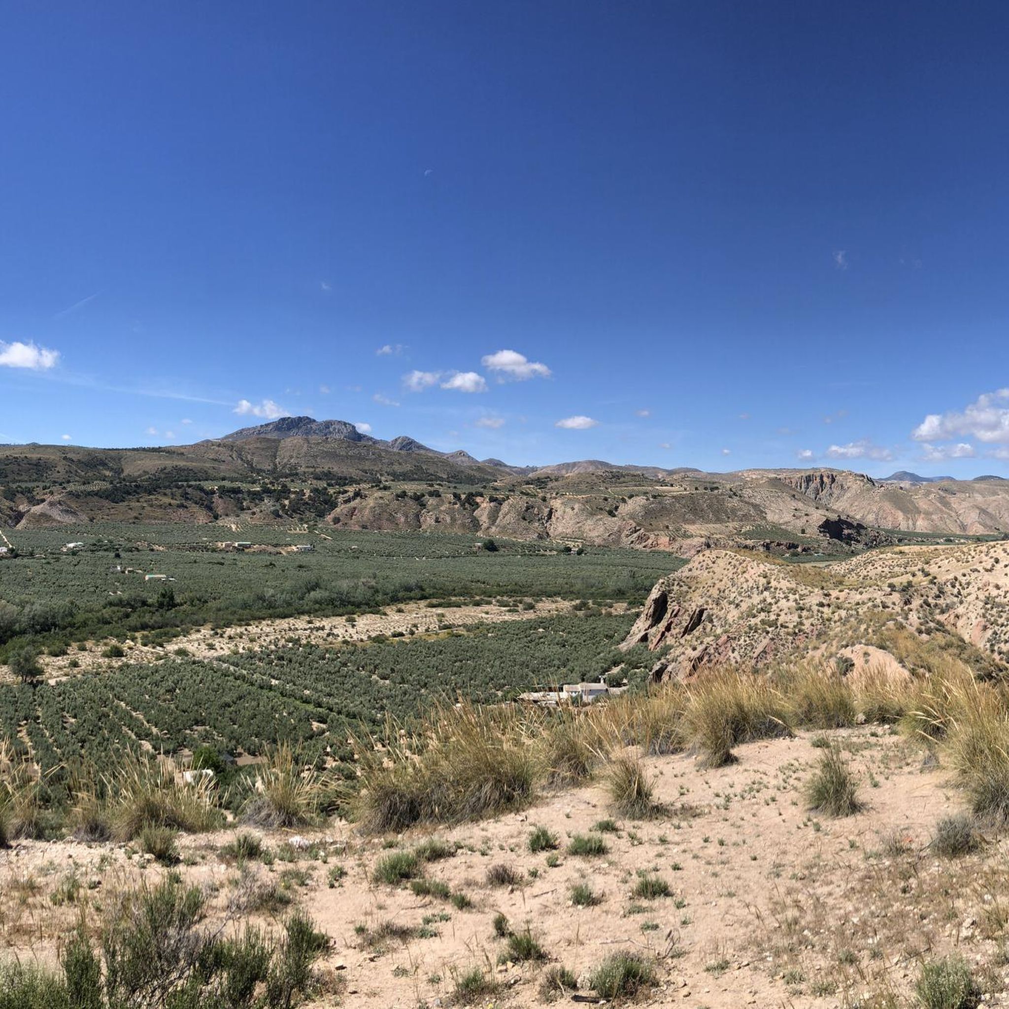
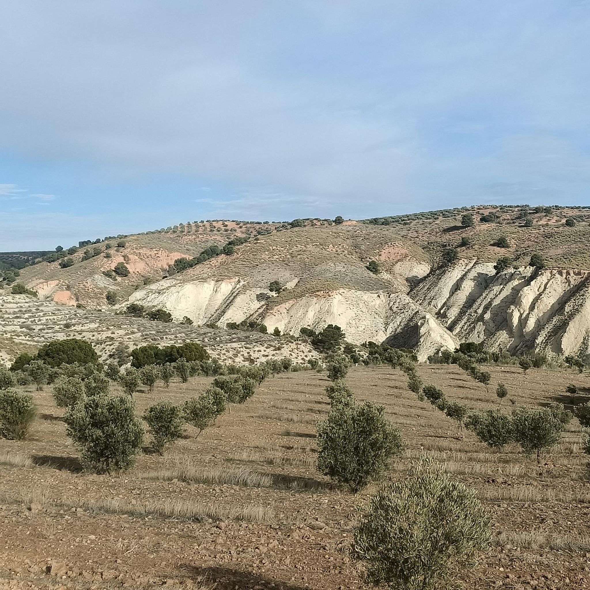
Hiking trails around Cabra Del Santo Cristo traverse a diverse landscape, transitioning from sub-desertic badlands and ramblas to medium-high mountain ranges within the Sierra Mágina foothills. The region features unique geological formations, including "Bad Lands" topography with ravines and deep gullies, alongside clear and dark sandstone mountains. Elevations vary significantly, with peaks like Cerro del Buitre reaching 4,701 feet (1433 m), offering a range of hiking challenges and scenic vistas.
Best hiking trails around Cabra Del Santo Cristo
- The most…
Last updated: July 11, 2026
6
hikers
8.50km
02:26
200m
200m
Moderate hike. Good fitness required. Easily-accessible paths. Suitable for all skill levels.
4.5
(2)
4
hikers
4.90km
01:25
130m
130m
Easy hike. Great for any fitness level. Easily-accessible paths. Suitable for all skill levels.

Sign up for free
5
hikers
19.2km
07:15
1,280m
1,280m
Hard hike. Very good fitness required. Easily-accessible paths. Suitable for all skill levels.
2
hikers
14.8km
05:38
1,040m
1,040m
Hard hike. Very good fitness required. Easily-accessible paths. Suitable for all skill levels.
Our route recommendations are based on thousands of hikes, rides, and runs completed by other people on komoot.
Start today with a free account
Your next adventure awaits.
Login or Signup
Tips from the Community

A real spectacle in its surroundings. From there you can see all the worlds, hence its name "Miramundos."
0
0
I loved it 😍🎈 "Where the earth touches the sky, there Mágina watches, eternal sentinel of the Holy Kingdom."
0
0

Good views from the summit. There is no area to take shelter, so it must be taken into account in adverse weather conditions.
1
0
The shelter has all the necessary elements to spend the night. A table for 4-6 people, 4 chairs and a wooden top where you can sleep. The views are spectacular from either side.
1
0

Summit located in the homonymous natural park in the province of Jaén. With its 2,167 m altitude, it is the highest peak in this province and is located on the dividing line between the municipalities of Albanchez de Mágina and Huelma.
1
0

Cabra del Santo Cristo is located in the Sierra Mágina, a massif that exceeds two thousand meters in height. The town is located in a hollow, surrounded by mountains and on one of the slopes that reach the Rambla del Royo.
0
0
This summit is located in the homonymous natural park in the province of Jaén. With its 2167 meters of altitude, it is the highest peak in this province and is located on the dividing line between the municipalities of Albanchez de Mágina and Huelma.
2
0

Frequently Asked Questions
What kind of landscapes can I expect to see while hiking around Cabra Del Santo Cristo?
The region offers a remarkably diverse landscape, transitioning from sub-desertic badlands with ravines and deep gullies to medium-high mountain ranges within the Sierra Mágina foothills. You'll encounter unique geological formations, including clear and dark sandstone mountains, and varied bioclimatic zones. Peaks like Cerro del Buitre reach 1433 meters, providing a wide range of scenic vistas and challenges.
Are there any family-friendly hiking options in Cabra Del Santo Cristo?
Yes, there are options suitable for families. For instance, the Balsa de Riego – Cerro Nebrillo loop from Cabra del Santo Cristo is an easy 3.0-mile (4.9 km) trail that takes about 1 hour 25 minutes, leading through varied local landscapes. This route offers a gentle introduction to the area's natural beauty.
What are some notable natural features or attractions to look out for on the trails?
Hikers can explore unique geological formations such as the 'Bad Lands' topography, including the impressive Puente de Tierra, and the bicolored Triassic clays and sandstones of Cerrillo de los Asperones and the Arenero. The area also boasts rich biodiversity, with native vegetation like esparto grass and holm oaks. A centennial holm oak, listed in the catalog of singular trees of Spain, can be found near the Cabra Station. You might also encounter the Source of the Cuadros River.
Are there any circular hiking routes available?
Yes, several routes are designed as loops. A popular moderate option is the Cabra del Santo Cristo loop from Cabra del Santo Cristo, which is 5.3 miles (8.5 km) long and offers views around the town. For a more challenging experience, consider the Miramundos Shelter – Pico Mágina Summit (2,167 m) loop from Cerro Gordo.
What is the best time of year to go hiking in Cabra Del Santo Cristo?
Given the region's diverse bioclimatic zones, including sub-desertic areas, spring and autumn generally offer the most pleasant hiking conditions with milder temperatures. Summer can be very hot, especially in the lower, more arid areas, while winter can bring colder temperatures to the higher mountain ranges like Sierra Mágina.
What is the difficulty level of hiking trails in this area?
The trails around Cabra Del Santo Cristo cater to various ability levels. You can find easy strolls through local landscapes, such as the Balsa de Riego – Cerro Nebrillo loop. There are also moderate routes like the Cabra del Santo Cristo loop, and challenging mountain treks with significant elevation gain, such as the Miramundos Shelter – Pico Mágina Summit loop.
Are there any historical or cultural sites I can visit near the hiking trails?
Beyond the natural beauty, the town of Cabra del Santo Cristo itself offers historical attractions. You can explore the old castle ruins on Cerro de San Juan, prehistoric remains in Cerro de los Choros, and architectural highlights like the Church of La Expectación. The surrounding agricultural landscapes, with olive groves and cereal fields, also reflect the region's cultural heritage.
What do other hikers say about the trails in Cabra Del Santo Cristo?
The routes in Cabra Del Santo Cristo are highly rated by the komoot community, with an average score of 4.5 stars. Hikers often praise the diverse terrain, from unique geological formations to panoramic mountain views, and the opportunity to experience both sub-desertic and mountainous environments.
Is public transport available to access hiking trailheads?
While Cabra del Santo Cristo is a town, direct public transport options specifically to remote trailheads might be limited. It's advisable to check local bus schedules for connections to the town itself, and then plan for local transport or a short drive to reach specific starting points for hikes. Many routes, like the Cabra del Santo Cristo loop, start directly from the town.
Are permits required for hiking in the Sierra Mágina Natural Park?
For casual hiking on established trails within the Sierra Mágina Natural Park, permits are generally not required. However, for specific activities, large groups, or access to restricted areas, it's always best to consult the official Sierra Mágina Natural Park authority for the most up-to-date regulations.
Can I bring my dog on the hiking trails?
Many trails in natural areas like Cabra del Santo Cristo are dog-friendly, especially if your dog is well-behaved and kept on a leash. However, specific regulations can vary, particularly within protected areas like the Sierra Mágina Natural Park. It's recommended to check local signage or park guidelines for any restrictions regarding dogs.
What kind of elevation changes can I expect on the trails?
The region is characterized by contrasting elevations. You can find routes with moderate ascents, such as the Cabra del Santo Cristo loop with about 200 meters of elevation gain. For more challenging hikes, the Miramundos Shelter loop from Cerro Gordo involves over 1000 meters of ascent, leading through mountainous terrain.
Most popular routes around Cabra Del Santo Cristo
Most popular attractions around Cabra Del Santo Cristo

Get inspired with the komoot mobile app


Explore more
Browse the best Hikes in other regions.
