The best walks and hikes around Cárcheles
4.5
(44)
238
hikers
21
hikes
Hiking around Cárcheles, located in the Sierra Sur of Jaén, Spain, offers access to an abrupt and mountainous landscape. The region is characterized by rugged topography, with native vegetation including holm oaks and gall oaks. Natural features like the Barranco del Monasterio and areas such as Cazalla and El Convento provide varied terrain for exploration.
Best hiking trails around Cárcheles
- The most popular hiking route is Cruz de la Chimba Trail, a 6.3 miles (10.1 km) trail that takes…
Last updated: July 10, 2026
4.8
(4)
15
hikers
10.1km
03:14
440m
430m
Moderate hike. Good fitness required. Easily-accessible paths. Suitable for all skill levels.
Hard hike. Very good fitness required. Mostly accessible paths. Sure-footedness required.

Sign up for free
4.8
(8)
43
hikers
Easy hike. Great for any fitness level. Easily-accessible paths. Suitable for all skill levels.
4.5
(2)
17
hikers
Moderate hike. Good fitness required. Easily-accessible paths. Suitable for all skill levels.
10
hikers
12.3km
03:57
510m
510m
Moderate hike. Good fitness required. Easily-accessible paths. Suitable for all skill levels.
Get access to more routes and recommendations from other explorers.
Sign up for free
Already have an account?
Our route recommendations are based on thousands of hikes, rides, and runs completed by other people on komoot.
Start today with a free account
Your next adventure awaits.
Login or Signup
Tips from the Community

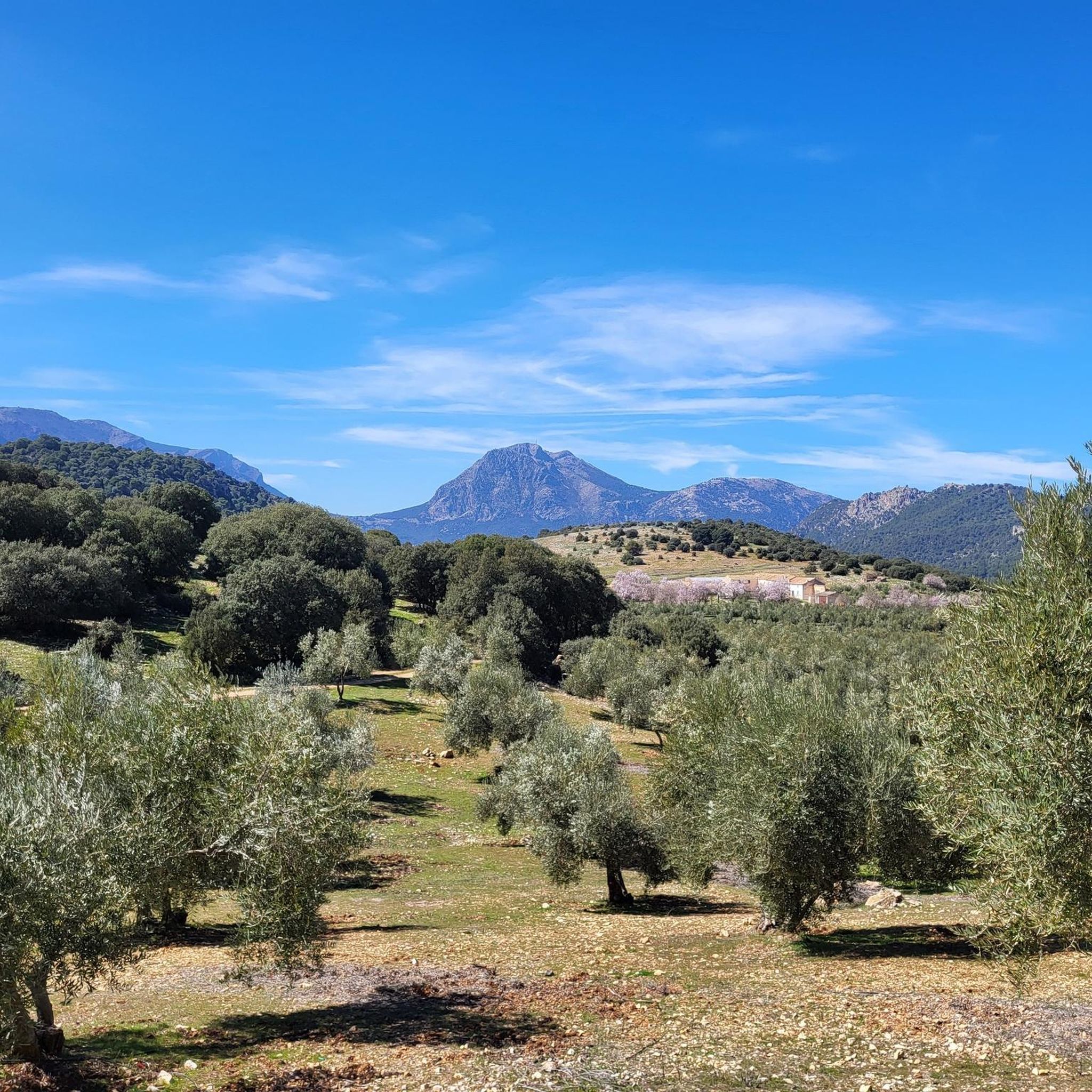
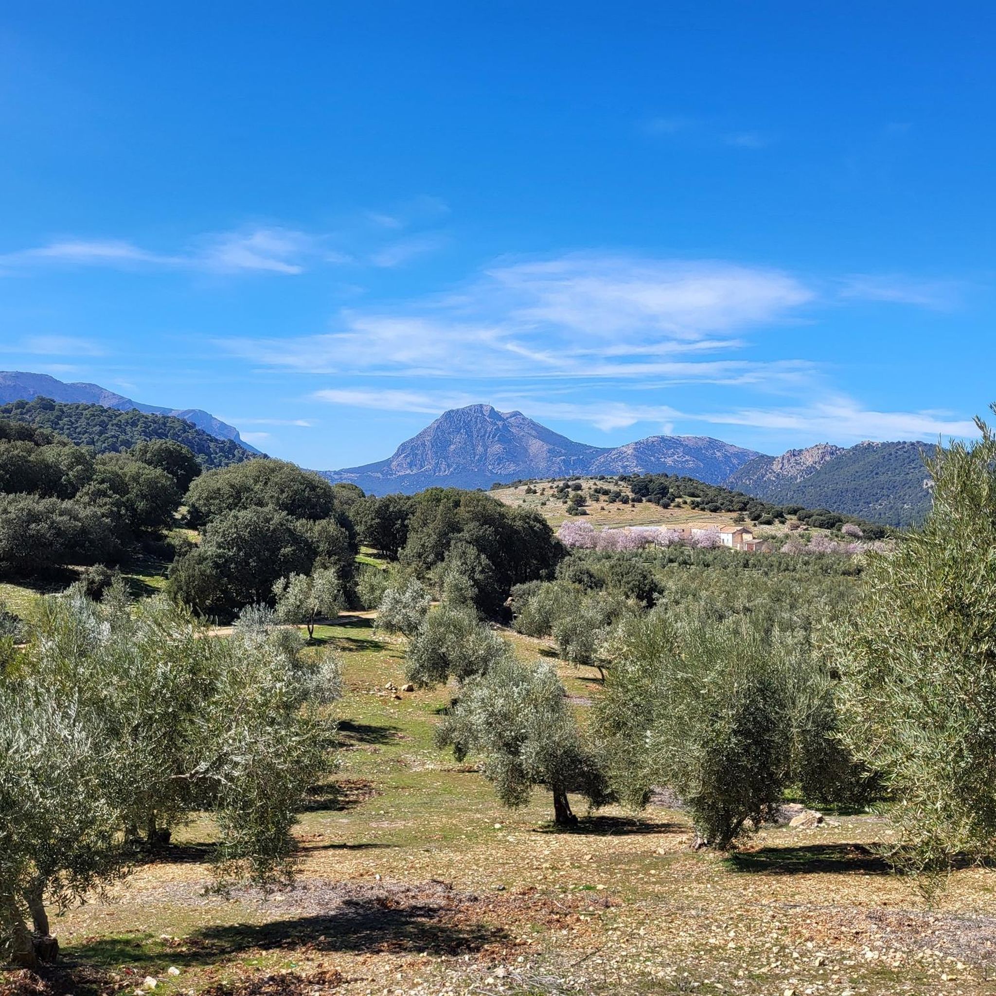
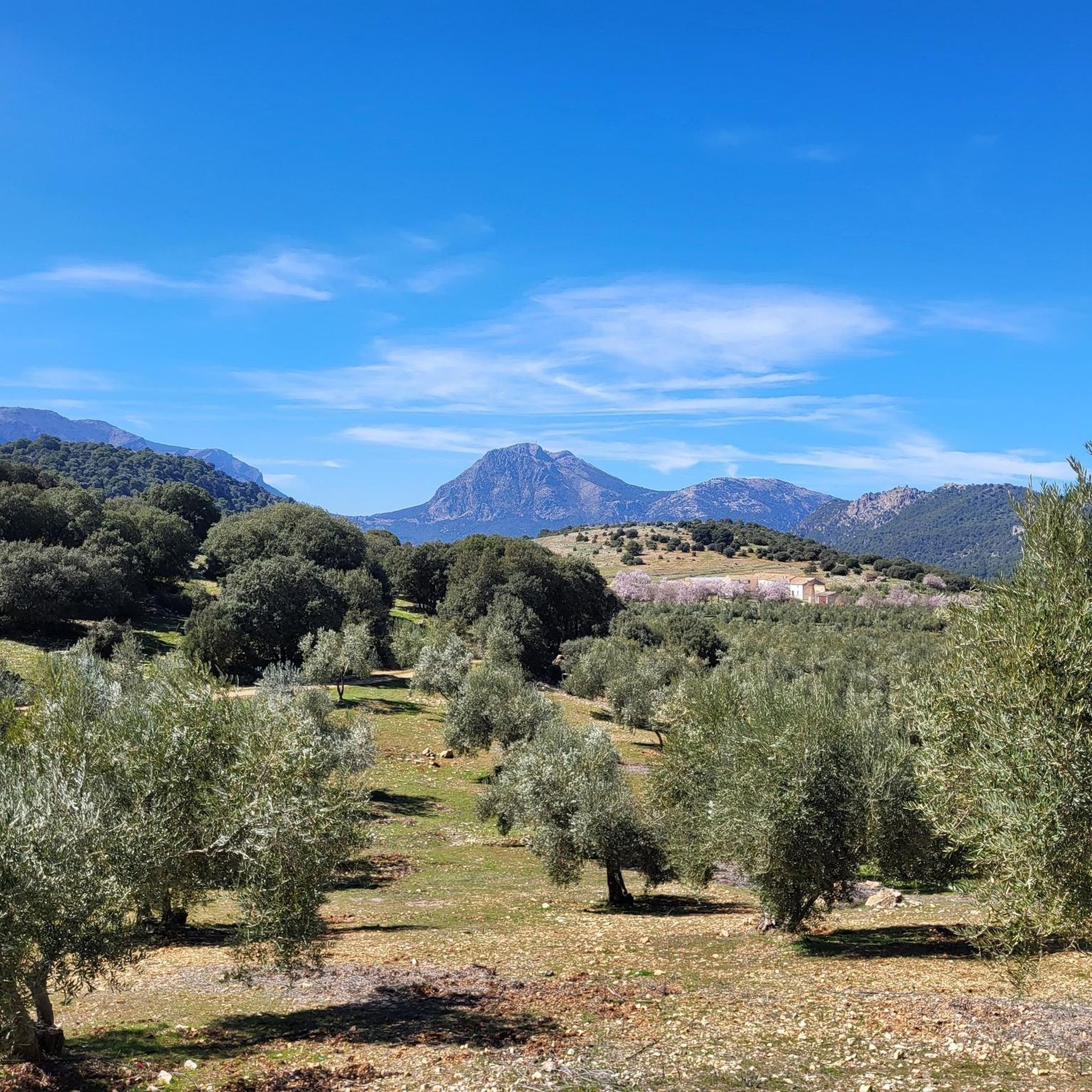
From this viewpoint, you can contemplate the impressive views of the Quiebrajano valley, the Otiñar, and the horizon can be seen: the Jabalcuz mountain range, Jaén, and the majestic La Pandera mountain range.
1
0

Small footbridge at the lowest point of the Cañada del Sabinar.
4
0


Small refuge at 1154 meters altitude, near the famous Cañada de las Hazadillas. Easily accessible and in a setting of singular beauty, it has become one of the most frequented routes in the Sierra Sur.
1
0
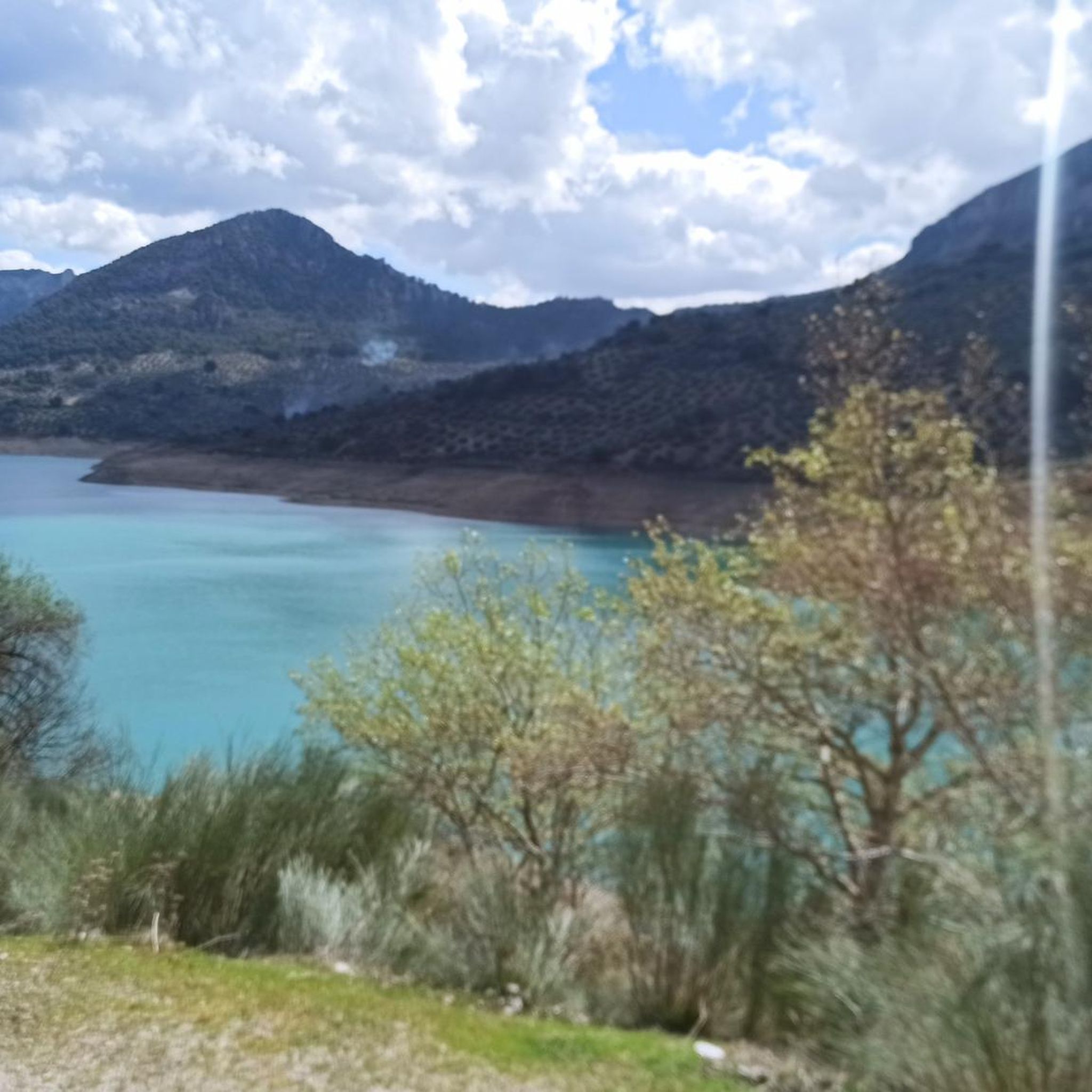
Viewpoint with panoramic views of the Quiebrajano reservoir and its surrounding mountains.
3
0
It is a small refuge at 1154 meters altitude, near the famous Cañada de las Hazadillas site. It is easily accessible and in a setting of singular beauty, it has become one of the most frequented routes in the Sierra Sur.
0
0
Viewpoint with wonderful views of the Quiebrajano valley, Otiñar and in the distance Jabalcuz and Jaén. In front of us, the majestic La Pandera is shown, with its 1872 meters of altitude.
1
1

Frequently Asked Questions
How many hiking trails are available in Cárcheles?
Cárcheles offers a diverse network of nearly 20 hiking routes, catering to various skill levels. You'll find everything from easy loops to more challenging ascents through its rugged and mountainous terrain.
Are there any easy hiking routes suitable for beginners or families in Cárcheles?
Yes, Cárcheles has several easy routes. A good option is the Cruz de la Calamba Refuge – Cruz de la Chimba Refuge loop from Sendero Cruz de la Chimba, which is 6.3 km long and typically takes under 2 hours to complete. These trails are perfect for those looking for a gentle introduction to the region's natural beauty.
What kind of natural features can I expect to see on the trails in Cárcheles?
The trails in Cárcheles showcase an abrupt and mountainous landscape, characterized by native vegetation such as holm oaks and gall oaks. You can explore diverse natural areas like the Barranco del Monasterio, Cazalla, and El Convento. Keep an eye out for historical stone-built fountains and watering troughs, remnants of the area's rural past.
Are there any circular hiking routes in Cárcheles?
Yes, Cárcheles offers several circular routes. For a challenging full-day hike, consider the Miradores del embalse del Quiebrajano - circular by the collado de la cañada del Sabinar, a difficult 22.5 km path with extensive views. A moderate option is the Valdearazo Bridge loop from Cerro Cortijuelo, covering 12.3 km.
What are some notable viewpoints or landmarks to visit while hiking in Cárcheles?
While hiking, you can discover several points of interest. The View of Quiebrajano Reservoir offers scenic vistas. For a historical touch, look for the Vítor of Carlos III. The region also features natural monuments like the Mojón Blanco summit and the Santa Coloma aquifer spring.
What do other hikers say about the trails in Cárcheles?
The hiking routes in Cárcheles are highly regarded by the komoot community, boasting an average score of 4.5 stars from over 40 reviews. Hikers frequently praise the varied terrain, from deep ravines to native forests, and the options available for different ability levels.
Are there any trails that lead to waterfalls or water features?
Yes, you can find water features in the area. The Fuente Cabra is a notable waterfall highlight. Additionally, the region is home to the La Charca de Pegalajar lake, offering serene spots to visit.
What is the best time of year to go hiking in Cárcheles?
Cárcheles, located in the south of Spain, generally offers pleasant hiking conditions during spring and autumn when temperatures are milder. Summer can be very hot, making early morning or late afternoon hikes preferable. Winter hiking is also possible, but be prepared for cooler temperatures in the mountainous areas.
Are there any longer, more challenging hikes for experienced hikers?
For experienced hikers seeking a challenge, the Miradores del embalse del Quiebrajano - circular by the collado de la cañada del Sabinar is a difficult 22.5 km route that involves significant elevation gain and offers extensive views. This trail provides a substantial adventure through the rugged landscape.
Is public transport available to reach hiking trailheads in Cárcheles?
While Cárcheles is accessible, specific public transport options directly to all trailheads might be limited due to its mountainous and rural nature. It's advisable to check local bus schedules for connections to the main towns of Cárchel or Carchelejo, and then plan for local transport or a short drive to reach specific starting points like the Barranco del Monasterio or the Cueva del Puerto de las Palomas.
Are there any specific areas or sites within Cárcheles that are particularly interesting to explore?
Beyond specific trails, the region offers several unique areas. The Barranco del Monasterio (Monastery Ravine) and the Cueva del Puerto de las Palomas (Cave of the Port of Pigeons) are notable natural sites. The Llanos de Palomares also contributes to the region's diverse environment, providing varied landscapes for exploration.
Most popular attractions around Cárcheles

Get inspired with the komoot mobile app


Explore more
Browse the best Hikes in other regions.
