The best walks and hikes around Tamajón
4.7
(162)
1,416
hikers
19
hikes
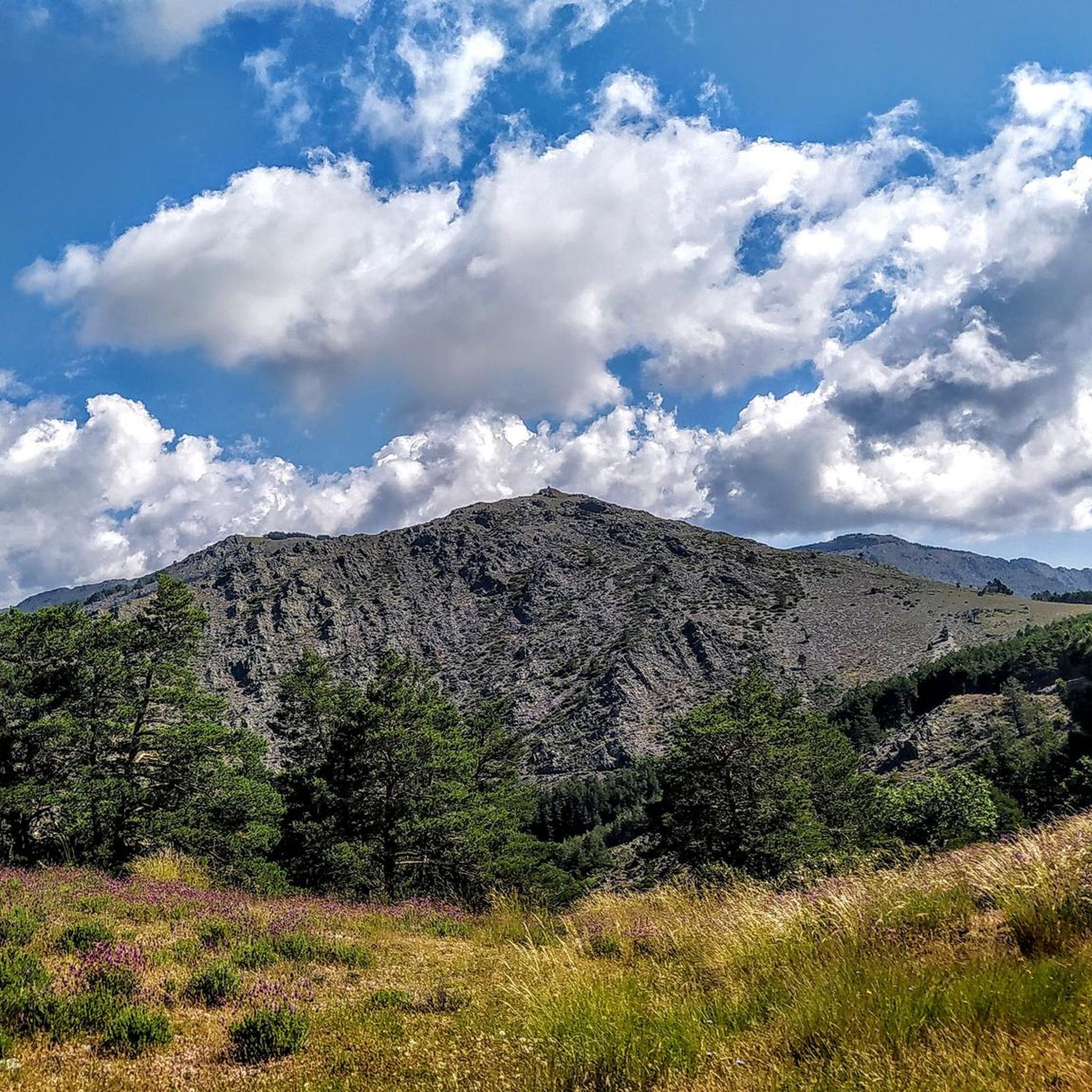
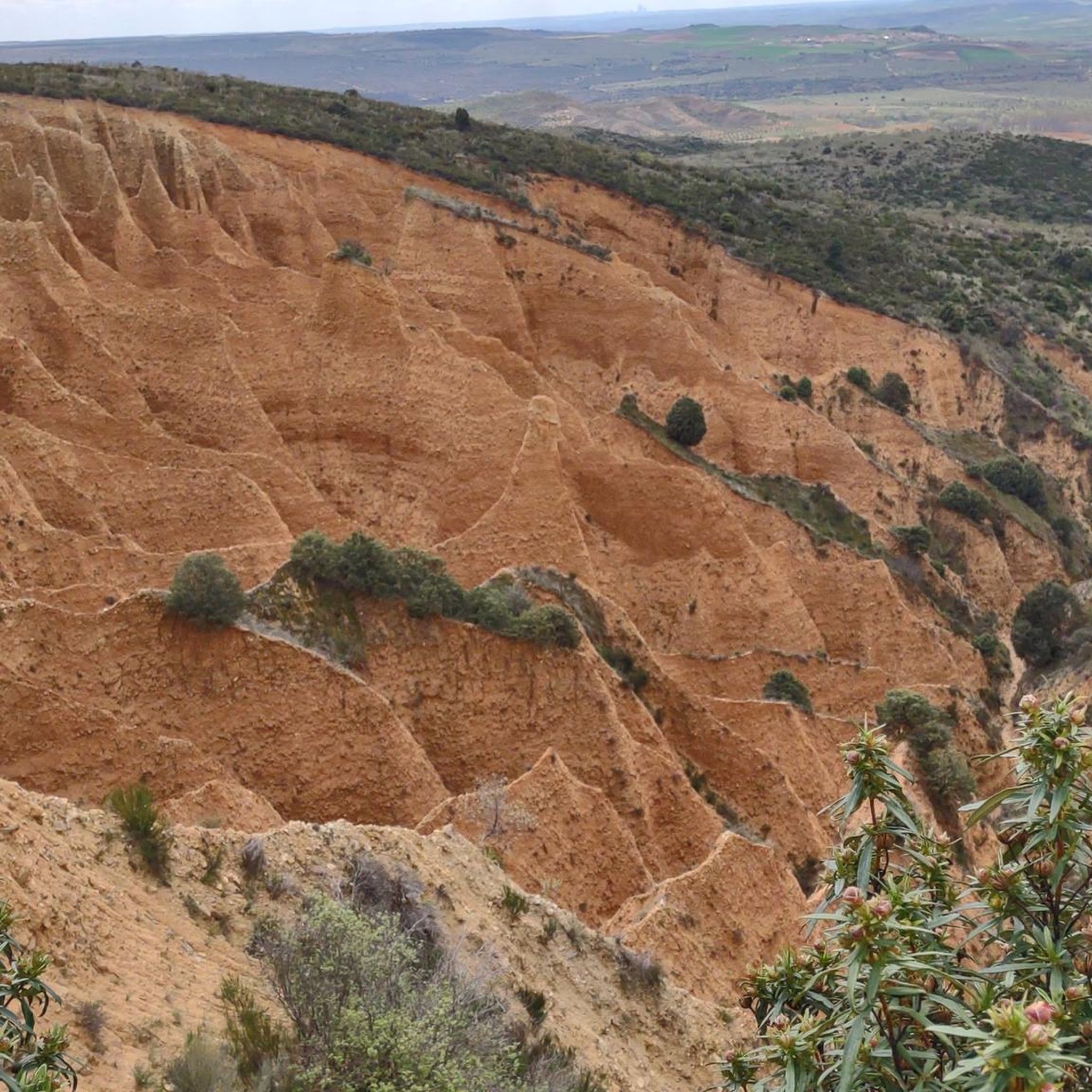
Hiking around Tamajón provides access to the Sierra Norte de Guadalajara Natural Park, an area defined by its mountainous landscape, varied forests, and unique geological formations. The region features valleys carved by rivers, ancient beech forests, and limestone rock sculptures. This diverse terrain offers a range of outdoor experiences for hikers.
Best hiking trails around Tamajón
- The most popular hiking route is The Vereda from the El Vado reservoir — circular through the Hoz de Vallosera (PR-GU 18), a…
Last updated: October 4, 2026
15
hikers
10.5km
02:53
170m
170m
Moderate hike. Good fitness required. Easily-accessible paths. Suitable for all skill levels.
3.3
(3)
14
hikers
12.6km
04:00
440m
440m
Moderate hike. Good fitness required. Mostly accessible paths. Sure-footedness required.

5.0
(1)
9
hikers
10.1km
03:19
410m
410m
Moderate hike. Good fitness required. Mostly accessible paths. Sure-footedness required.
4
hikers
6.52km
01:43
50m
50m
Easy hike. Great for any fitness level. Easily-accessible paths. Suitable for all skill levels.
5.0
(1)
9
hikers
18.7km
07:29
1,000m
1,000m
Hard hike. Very good fitness required. Mostly accessible paths. Sure-footedness required.
Get access to more routes and recommendations from other explorers.
Already have an account?
Our route recommendations are based on thousands of hikes, rides, and runs completed by other people on komoot.
Start today with a free account
Your next adventure awaits.

Other adventures around Tamajón

Tips from the Community

The Church of Our Lady of the Assumption, in Tamajón (Guadalajara), stands atop a small hill to the north of the town center, at an altitude of approximately 1,097 meters, within the Diocese of Sigüenza-Guadalajara. It was built in the 13th century in the Romanesque style, with significant renovations in the 16th century that introduced Renaissance influences. In the 12th century, the area belonged to the Common Lands of the Town and Territory of Atienza; in the 15th century, it passed to the Mendoza family.
3
0

Beautiful town in Guadalajara, with a plaza, church, several streams, and the Bonaval Monastery very close by.
0
0
In Tamajón, an excellent option for novice climbers is the Enchanted City of Tamajón. This area is known for its limestone rock formations and offers several bouldering routes accessible to beginners. Most routes have an average height of 5 meters, making them ideal for beginners. In addition, the area is very picturesque and provides a safe and pleasant environment for climbing.
4
0
The most popular route to ascend Pico Ocejón begins in Valverde de los Arroyos and is known for its scenic beauty and moderate difficulty. The hike is approximately 14.74 km and typically takes around 6 hours with stops. Along the way, hikers can enjoy spectacular views and the rich biodiversity of the area.
6
0
The Church of Our Lady of the Assumption in Tamajón, Guadalajara, is a beautiful example of 13th-century Romanesque architecture, with Renaissance reforms in the 16th century. Located on a small hill to the north of the town, this church stands out for its impressive façade and its rich history. The temple has a rectangular floor plan with three sections and three naves, with a flat chancel and a porticoed gallery on the south façade. Inside, you can admire mural paintings from different periods and Baroque and Gothic altarpieces that decorate the main altar and the side chapels.
5
0

The climb is hard, but it is worth it. Although we were not lucky enough to see all the scenery that should be seen from that height. The descent is almost harder than the ascent.
1
0
Beautiful Romanesque church with porticoed atrium.
0
1
At 2049 metres above sea level, it is one of the highest and most popular peaks for hiking in the region. There are several routes to climb Pico Ocejón, the most common being those starting from Majaelrayo and Valverde de los Arroyos. Both routes offer stunning landscapes and the opportunity to enjoy nature at its best.
6
0
Frequently Asked Questions
What types of hiking trails can I find around Tamajón?
Tamajón offers a diverse range of hiking trails within the Sierra Norte de Guadalajara Natural Park. You'll find everything from relatively easy walks through unique geological formations like the Ciudad Encantada de Tamajón to more demanding treks through mountainous terrain and ancient forests. The area features trails suitable for various experience levels, with 3 easy, 42 moderate, and 16 difficult routes available.
Are there any easy or family-friendly hiking options in Tamajón?
Yes, Tamajón has several options suitable for families and those looking for easier walks. The area around the Ciudad Encantada de Tamajón offers a relatively easy 9 km hiking route, perfect for nature lovers and families to explore its whimsical rock sculptures. Additionally, komoot lists 3 easy routes out of 61 total, ensuring there are gentle paths to enjoy.
Can I find circular hiking routes in the Tamajón area?
Absolutely. Circular routes are a great way to experience the diverse landscapes of Tamajón. For instance, an 18 km circular route connects the Ciudad Encantada de Tamajón with the picturesque village of Almiruete. Another popular option is the Retiendas Village loop from Tamajón, a 10.4 km trail that takes you through the local countryside.
What natural attractions or landmarks can I see while hiking near Tamajón?
The Tamajón area is rich in natural beauty and unique landmarks. You can explore the fascinating rock formations of the Enchanted City of Tamajón, or visit the ancient Hayedo de Tejera Negra Beech Forest, a UNESCO World Heritage site known for its spectacular autumn colors. Other notable features include the Despeñalagua Waterfall and the Aljibe Waterfall, as well as the impressive Pico Ocejón.
Are there any trails that pass through the Hayedo de Tejera Negra Beech Forest?
Yes, the Hayedo de Tejera Negra Beech Forest, a UNESCO World Heritage site, offers several beautiful hiking routes. Popular options include the 'Senda de Carretas,' a 6 km circular trail, and the longer 'Senda del Robledal,' a 17 km circular route. These trails are particularly stunning in autumn when the foliage changes color.
What is the best time of year to go hiking in Tamajón?
Tamajón offers a unique hiking experience throughout the year. The landscape transforms with the seasons, providing spectacular snow-covered mountains in winter, vibrant blooms in spring, cool forests in summer, and evocative colors in autumn, especially in the Hayedo de Tejera Negra. Your best time to visit depends on the scenery and weather conditions you prefer.
Are there any long-distance hiking paths that pass through Tamajón?
Yes, Tamajón is part of the Gran Recorrido GR-10, a long-distance path marked with white and red signs. This route offers extended trekking opportunities, passing through varied landscapes, including an undulating terrain near the Loma del Castillejo, where the ruins of an ancient Arab fortress are preserved.
What do other hikers say about the trails in Tamajón?
The hiking trails in Tamajón are highly regarded by the komoot community, with an impressive average rating of 4.7 stars from over 150 reviews. Hikers often praise the varied terrain, the unique geological formations, and the well-preserved natural environment of the Sierra Norte de Guadalajara Natural Park.
Are there any charming villages to explore near the hiking trails?
Yes, the region around Tamajón is dotted with charming villages that offer cultural interest. For example, the village of Almiruete, known for its distinctive black architecture, can be reached via an 18 km circular route from the Ciudad Encantada de Tamajón. Other nearby settlements include Valverde de los Arroyos and Campillo de Ranas.
Is there parking available for hikers in Tamajón?
While specific parking locations for all trails are not detailed, Tamajón is a popular starting point for hikes, and parking is generally available in and around the village. For routes like the El Vado Dam and Reservoir loop, there are designated parking areas such as 'Aparcamiento 1 «El Vado»' to facilitate access to the trails.
What is the most challenging hike in the Tamajón area?
Among the 61 routes listed, 16 are classified as difficult, offering more challenging experiences for seasoned hikers. These trails often feature significant elevation gains and longer distances, exploring the mountainous terrain of the Sierra Norte de Guadalajara Natural Park. For example, the Vereda from the El Vado reservoir is a moderate route with nearly 450 meters of elevation gain, providing a good challenge.
Are dogs allowed on the hiking trails in Tamajón?
The Sierra Norte de Guadalajara Natural Park, which encompasses Tamajón, generally welcomes dogs on trails, provided they are kept under control, especially to protect local wildlife and livestock. It's always recommended to check specific trail regulations or park guidelines for any restrictions, particularly in protected areas like the Hayedo de Tejera Negra.
Most popular attractions around Tamajón

Get inspired with the komoot mobile app


Explore more
Browse the best Hikes in other regions.
