The best road cycling routes around Cantagallo
4.9
(16)
2,760
riders
98
rides
Road cycling around Cantagallo offers challenging routes through the hilly terrain of Tuscany, characterized by significant elevation changes. The region features a mix of paved and quiet roads, ideal for road bikes, and connects to well-known Tuscan towns. Cyclists can expect demanding climbs and exhilarating descents amidst picturesque landscapes.
Best road cycling routes around Cantagallo
- The most popular road cycling route is Climb to La Covatilla (CE pass) — circular from Béjar, a 45.3 miles (72.9 km) trail that…
Last updated: October 14, 2026
9
riders
72.9km
04:21
1,640m
1,640m
Hard road ride. Very good fitness required. Mostly well-paved surfaces and easy to ride.
226
riders
70.7km
03:59
1,460m
1,460m
Hard road ride. Very good fitness required. Mostly well-paved surfaces and easy to ride.

124
riders
119km
07:08
2,700m
2,700m
Hard road ride. Very good fitness required. Mostly well-paved surfaces and easy to ride.
5.0
(2)
86
riders
36.9km
02:24
1,100m
1,100m
Hard road ride. Very good fitness required. Some segments of this route may be unpaved and difficult to ride.
51
riders
81.9km
04:09
1,370m
1,370m
Hard road ride. Very good fitness required. Mostly well-paved surfaces and easy to ride.
Get access to more routes and recommendations from other explorers.
Already have an account?
Our route recommendations are based on thousands of hikes, rides, and runs completed by other people on komoot.
Start today with a free account
Your next adventure awaits.
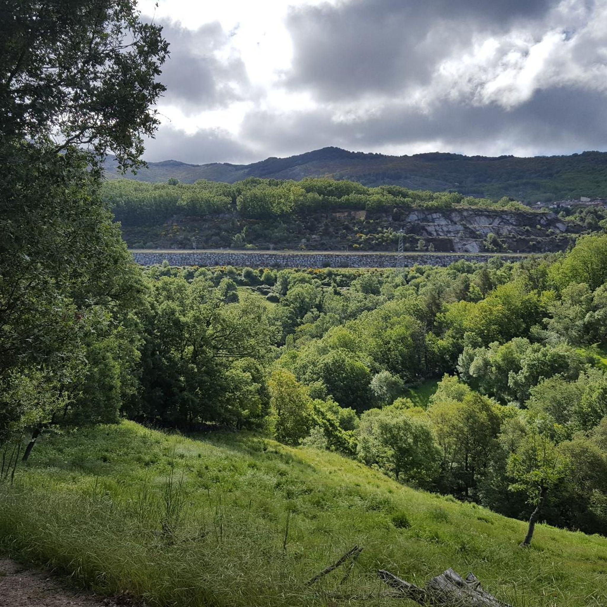
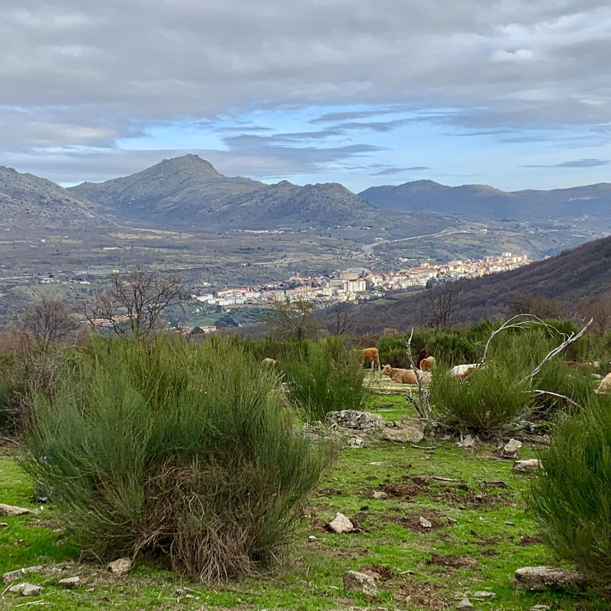
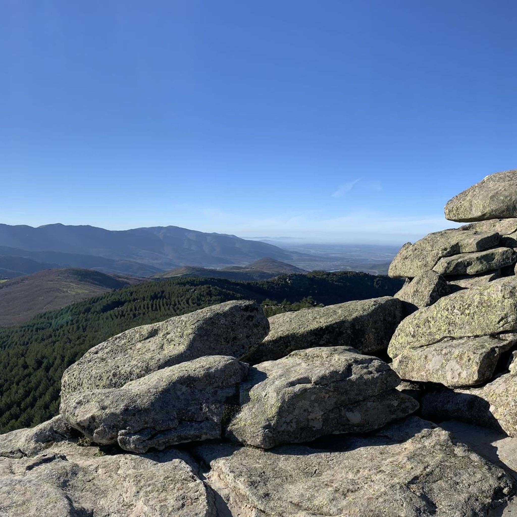
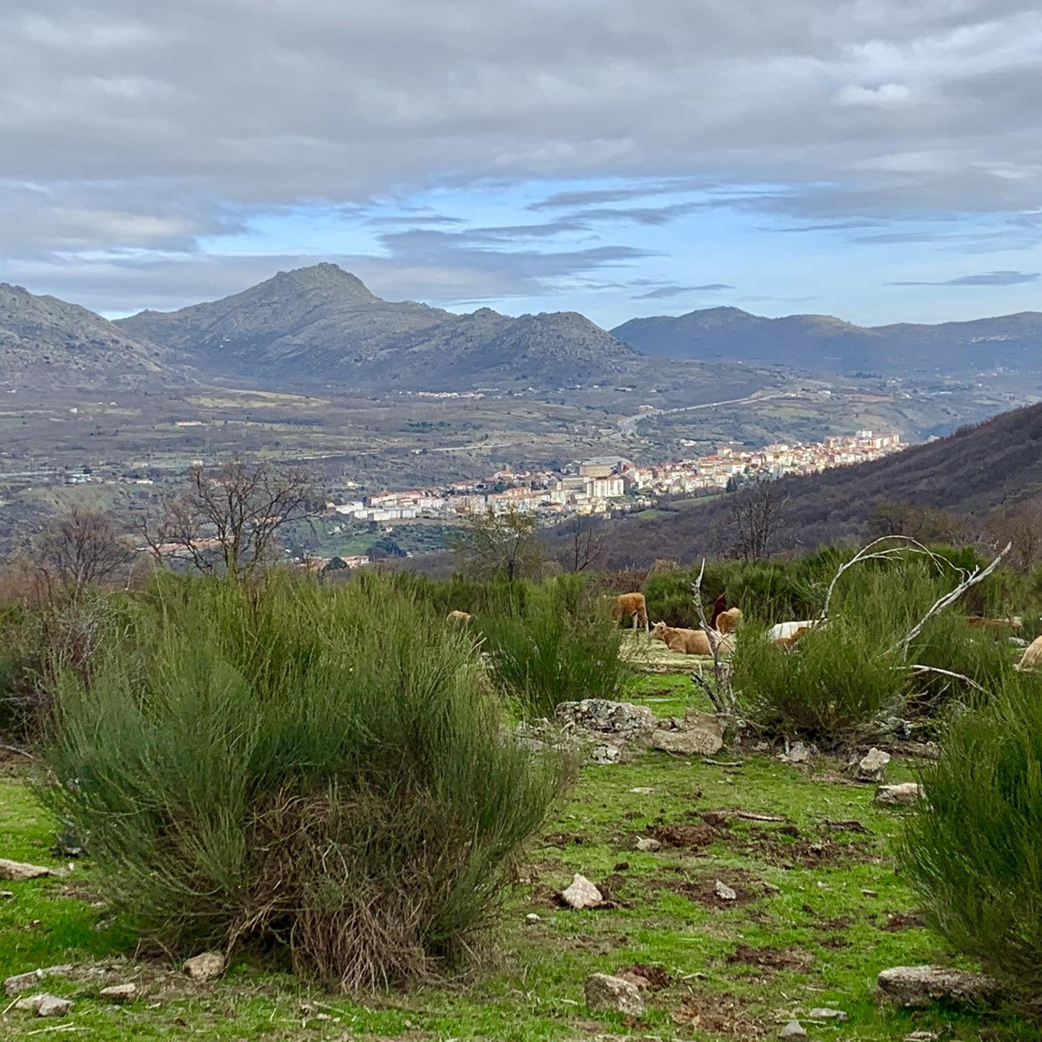

Tips from the Community

Hervás has beautiful architectural heritage such as the Davila palace, a parish church, the convent of the Trinitarian fathers etc. The largest collection of classic motorcycles in Europe!
15
0

What to see in Miranda del Castañar Medieval Walls: Over 600 meters remain intact, with four gates facing the cardinal directions: San Ginés, Nuestra Señora, La Villa, and El Postigo. Zúñiga Castle: A 15th-century fortress, symbol of the former County of Miranda. Although the interior is not open to the public, its exterior and keep are impressive. Square Bullring: Considered one of the oldest in Spain, built in the 16th century on the site of the former parade ground. Church of Santiago and San Ginés: Gothic in style (13th-16th centuries), with a detached 17th-century bell tower. Houses with Coats of Arms: More than 80 noble coats of arms adorn the facades, reflecting the town's aristocratic past.
8
0
Miranda del Castañar, one of the most beautiful villages in Spain, is located in the Sierra de Francia (Salamanca): Founded in 1213 by Alfonso IX of León as a town and council, it was the administrative capital of the Sierra de Francia. In the 15th century, the County of Miranda was created under the control of the Zúñiga family, consolidating its strategic importance.
9
0
The Soto Bridge, also known as the Roman Bridge of Sotoserrano, is a historic stone structure that spans the Alagón River in the Las Batuecas-Sierra de Francia Natural Park. It is located in the town of Sotoserrano, famous for being at the confluence of three rivers: the Alagón, the Francia, and the Cuerpo de Hombre. The bridge is one of the town's symbols and a key point on several hiking and cycling routes.
2
0
The Soto Bridge, also known as the Roman Bridge of Sotoserrano, is a historic stone structure that spans the Alagón River in the Las Batuecas-Sierra de Francia Natural Park. It is located in the town of Sotoserrano, famous for being at the confluence of three rivers: the Alagón, the Francia, and the Cuerpo de Hombre. The bridge is one of the town's symbols and a key point on several hiking and cycling routes.
1
0

17 kilometers of mountain pass (on both sides, Ambroz Valley from Hervás or Jerte Valley from Cabezuela del Valle). From Cabezuela del Valle, the first 12 kilometers average an average gradient of 7%, with some 10% gradients, and from the 12th kilometer onward, there are some rest stops with wonderful views. This side has a gradient of approximately 900 meters, up to 1,430 meters.
0
0

an ideal place to stop to get supplies and rest while admiring the views.
0
0

Very steep climb of about 15 km (4% on average with some sections at 7%). The asphalt is good and with many trees that provide pleasant shade on hot days.
0
0
Frequently Asked Questions
How many road cycling routes are available around Cantagallo?
There are over 100 road cycling routes around Cantagallo, offering a wide range of options for different skill levels. You'll find everything from moderate rides to very challenging ascents.
What is the general difficulty level of road cycling routes in Cantagallo?
Road cycling in Cantagallo is known for its challenging topography. Most routes feature significant elevation changes, with 61% classified as difficult and 38% as moderate. Only a small percentage are considered easy, making it an ideal destination for cyclists seeking a physical challenge.
Are there any circular road cycling routes in Cantagallo?
Yes, many routes around Cantagallo are circular, allowing you to start and end in the same location. Examples include the challenging Climb to La Covatilla (CE pass) — circular from Béjar, or the slightly less demanding Ventorro Pelayo Viewpoint – Ascent to Puerto de Cristóbal loop from Cantagallo.
What kind of landscapes and natural features can I expect to see while cycling in Cantagallo?
Cantagallo offers breathtaking Tuscan landscapes, including golden hills, vineyards, and historic villages. You'll encounter demanding climbs and exhilarating descents, with routes often traversing picturesque countryside and connecting to well-known Tuscan destinations. The region is characterized by its hilly or mountainous terrain.
What are some notable mountain passes I can cycle through near Cantagallo?
The region around Cantagallo is rich with mountain passes that offer challenging climbs and stunning views. You can explore passes like Puerto de Béjar, Hell's Pass, and Travieso Pass, which are popular among road cyclists.
Are there any scenic viewpoints or natural monuments along the routes?
Absolutely. Many routes offer opportunities to enjoy panoramic views and natural beauty. Highlights include the View of the Ambroz Valley and Reservoir, Navamuño Reservoir Views, and the natural monument of Hoya Moros.
What do other cyclists say about road cycling in Cantagallo?
The road cycling routes in Cantagallo are highly rated by the komoot community, with an average score of 4.9 stars from over 10 reviews. Cyclists often praise the challenging ascents, rewarding descents, and the scenic views of the Tuscan countryside.
What kind of road surfaces can I expect on the routes?
While primarily suited for road cycling, the routes feature a mix of surfaces. They are mostly paved, with significant portions of asphalt, quiet roads, and dedicated cycleways, ensuring a smooth experience for road bikes. Some routes might also include sections of the iconic 'Strade Bianche' (white roads), offering a unique Tuscan cycling challenge.
Can I find routes that connect to other famous Tuscan towns?
Yes, Cantagallo serves as an excellent base or waypoint for routes connecting to renowned Tuscan destinations. Cyclists can embark on journeys towards Florence, Prato, San Giovanni Valdarno, and even further afield to areas like Chianti and the Crete Senesi, immersing themselves in the authentic Tuscan experience.
Are there any lakes or reservoirs accessible by road bike near Cantagallo?
Yes, you can find several beautiful lakes and reservoirs in the vicinity. Routes may pass by or offer views of places like Navamuño Dam, Trampal Lagoons, and the Baños Reservoir, providing scenic stops during your ride.
What is a good route for an advanced road cyclist looking for a long and challenging ride?
For advanced cyclists seeking a significant challenge, the Puerto de Béjar – Honduras Pass loop from Béjar is an excellent choice. This difficult route spans 118.5 km and features over 2,600 meters of ascent, typically taking around 7 hours to complete through mountainous terrain.
Are there any moderate road cycling routes suitable for a less intense but still engaging ride?
Yes, for a moderate yet engaging ride, consider the Ventorro Pelayo Viewpoint – Ascent to Puerto de Cristóbal loop from Cantagallo. This route covers approximately 49.2 km with around 677 meters of elevation gain, offering a balanced challenge and scenic views.
Most popular routes around Cantagallo
Most popular attractions around Cantagallo

Get inspired with the komoot mobile app


Explore more
Browse the best Road cycling routes in other regions.
