The best road cycling routes around Zarza-Capilla
34
riders
9
rides
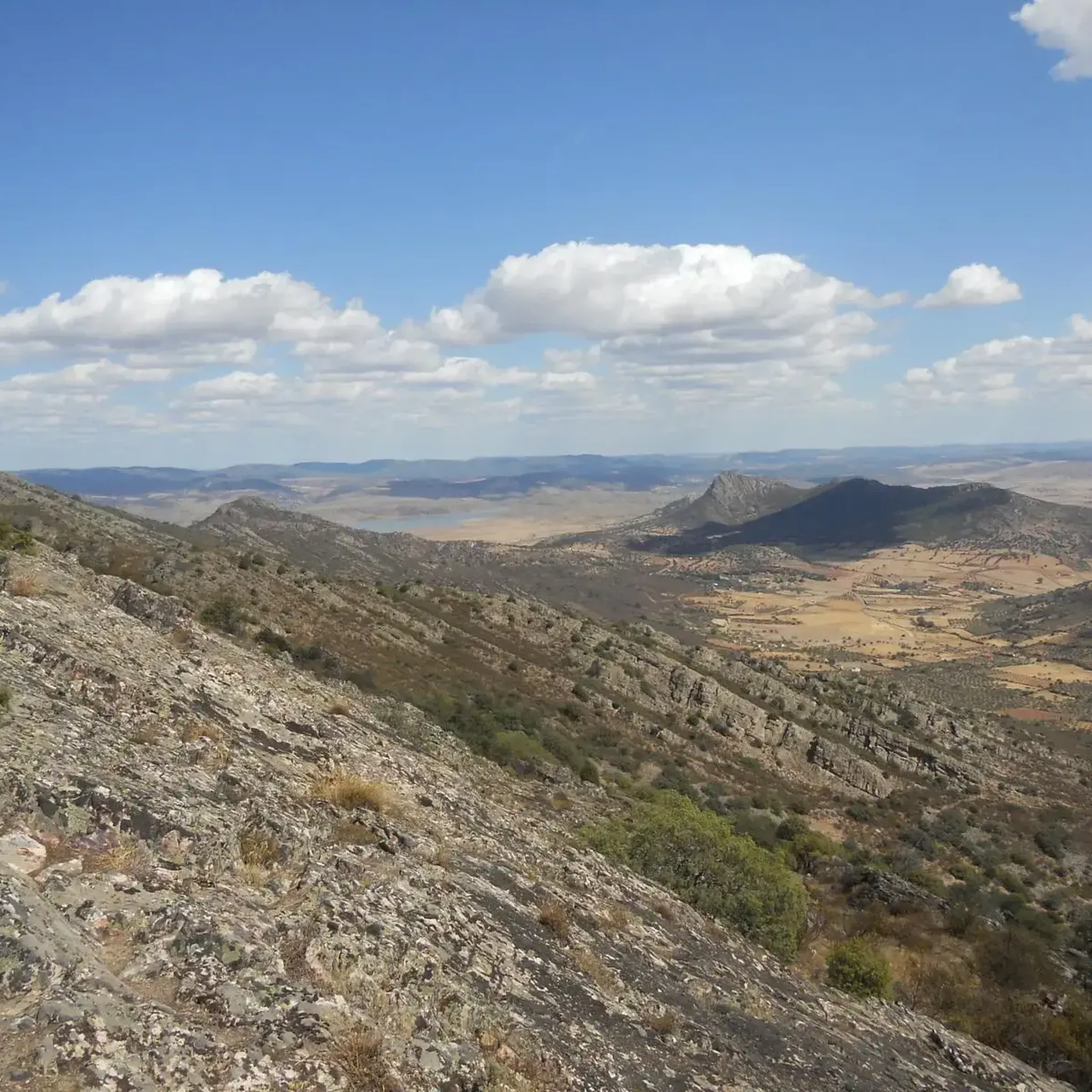
Road cycling routes around Zarza-Capilla traverse a diverse landscape characterized by mountainous sierras, expansive plains, and the presence of the Embalse de La Serena reservoir. The region's topography is accidented, with a significant portion featuring slopes exceeding 20%, providing challenging climbs and descents. Cyclists can expect varied terrain, from the heights of the Sierra del Torozo and Sierra de las Poyatas to the contrasting views of the Valle de los Pedroches and the steppe-like plains of La Serena. This environment offers a demanding experience for road cyclists seeking elevation changes and scenic backdrops.
Best road cycling routes around Zarza-Capilla
- The most popular road cycling route is Villages of La Serena: Peñalsordo and Capilla — circular from Cabeza Del Buey, a 60.1 miles (96.7 km) trail that takes about 4 hours 23 minutes to complete. This difficult route offers a circular journey through the villages of La Serena.
- Another top favourite among local road cyclists is Almaden from Belalcazar — circular via Hinojosa del Duque, a difficult 78.4 miles (126.2 km) path. This is the longest route in the selection, featuring significant elevation gain.
- Local road cyclists also love the Cabeza de Buey – Capilla and its Castle loop from Cabeza Del Buey, a 46.6 miles (75.0 km) trail leading through the area around Capilla and its castle, often completed in about 3 hours 39 minutes.
- Road cycling around Zarza-Capilla is defined by mountainous sierras, expansive plains, and the Embalse de La Serena reservoir. The network offers options for easy, moderate, and difficult ability levels.
- The guide includes highly-rated routes that showcase the best of the region's landscape. More than 30 road cyclists have used komoot to explore Zarza-Capilla's varied terrain.
Last updated: July 10, 2026
96.7km
04:23
1,060m
1,060m
Hard road ride. Very good fitness required. Some segments of this route may be unpaved and difficult to ride.
126km
05:33
1,190m
1,190m
Hard road ride. Very good fitness required. Some segments of this route may be unpaved and difficult to ride.

Sign up for free
9
riders
75.0km
03:39
990m
990m
Hard road ride. Very good fitness required. Mostly well-paved surfaces and easy to ride.
9
riders
81.9km
04:03
1,170m
1,170m
Hard road ride. Very good fitness required. Some segments of this route may be unpaved and difficult to ride.
6
riders
49.4km
02:09
420m
420m
Moderate road ride. Good fitness required. Mostly well-paved surfaces and easy to ride.
Get access to more routes and recommendations from other explorers.
Sign up for free
Already have an account?
Our route recommendations are based on thousands of hikes, rides, and runs completed by other people on komoot.
Start today with a free account
Your next adventure awaits.
Login or Signup

Tips from the Community

The Plaza de Toros de Almadén, also known as Plaza Nueva, is a historical monument located in Almadén (Ciudad Real, Spain) and is famous worldwide for its characteristic and unique hexagonal floor plan. Built between 1752 and 1752 for the famous mercury mines in the area
0
0
The Almadén Mining Park (Ciudad Real, Spain) is the largest mercury deposit in the world, declared a [UNESCO](0.5.4, 0.5.5) World Heritage Site. It offers an underground journey into mining history, starting from Roman times up to 2003, the year the activity closed.
1
0

A hexagonal shape, unique in the world. A complex of 24 two-story houses surrounds the bullring, forming a single block. Built between 1752 and 1765 at the initiative of Superintendent Francisco Javier de Villegas. Purpose: to provide employment for miners during forced work stoppages and to raise funds for the Royal Miners' Hospital of San Rafael through bullfights and the rental of houses. First bullfights: October 1752, with 21 bulls fought. Declared a Site of Cultural Interest in 1979 and a World Heritage Site by UNESCO in 2012 as part of the "Mercury Heritage: Almadén and Idrija."
9
0
It is a tribute to the miners who worked in the Almadén mercury mines, protagonists of more than 2,000 years of mining history. The idea arose in 1953, but it did not materialize until 1996, thanks to a public subscription and institutional contributions. It was inaugurated on September 8, 1996, coinciding with the feast day of Our Lady of the Mines.
7
0
Today it houses the Mining Museum and the Historical Archive of the Almadén Mines, with documents dating back to the 17th century. The visit includes: Room 1: History of the hospital and its role in occupational health. Room 2: The mercury metallurgy process and its technological evolution. Room 3: Life and customs of the region. Audiovisual displays, dioramas, and panels on diseases such as hydrargyrism and innovative treatments (the sauna-box, "the beach"). Dungeons where sick prisoners were treated. Exhibition of mining tools, machinery, and artifacts.
8
0
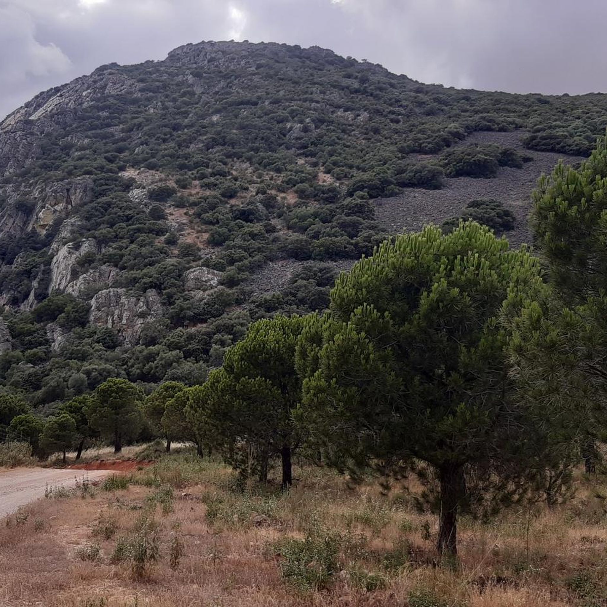
Cerro Masatrigo is a hill located in the municipality of Esparragosa de Lares. This hill is known for its almost perfect conical shape, which has earned it the nickname "the magic mountain." It rises 501 meters above sea level and 161 meters above the surrounding terrain. After the construction of the La Serena Dam, Cerro Masatrigo became a peninsula surrounded by the waters of the reservoir.
1
0
Cerro Masatrigo is a hill located in the municipality of Esparragosa de Lares. This hill is known for its almost perfect conical shape, which has earned it the nickname "the magic mountain." It rises 501 meters above sea level and 161 meters above the surrounding terrain. After the construction of the La Serena Dam, Cerro Masatrigo became a peninsula surrounded by the waters of the reservoir.
6
0
In the Alcudia Valley lies Almadén, a town linked to mining since ancient times, dyed with the reddish cinnabar of its cave paintings. The Romans opened up this land to extract the precious metal coveted in the empire as a dye, cosmetic or ointment. Since those times and despite the vagaries of exploitation or demand, Almadén has produced a third of the mercury consumed by humanity. The Almadén Mining Park offers us a trip to the interior of one of the oldest mines in the world. The park is completed with museums, interpretation centres and interesting displays of industrial archaeology. The Old School of Mine Foremen, created in the 18th century for the Study of Subterranean Geometry and Mineralogy. The House of the Superintendence located next to the mine allowed for greater control of it, of Baroque style only the enclosure remains. The San Rafael Miners' Hospital houses the historical archive of the Almadén Mines.
5
0
Frequently Asked Questions
How many road cycling routes are available around Zarza-Capilla, and what are their difficulty levels?
There are 9 road cycling routes available around Zarza-Capilla. The region is known for its challenging terrain, with 7 routes classified as difficult, 1 as moderate, and 1 as easy. This diverse selection caters to various skill levels, though a significant portion is geared towards experienced cyclists seeking elevation changes.
What kind of terrain and elevation can I expect on road cycling routes in Zarza-Capilla?
Road cycling in Zarza-Capilla features a highly varied and often challenging landscape. You'll encounter mountainous sierras like the Sierra del Torozo and Sierra de las Poyatas, with significant elevation changes. Approximately 80% of the area features slopes exceeding 20%, promising strenuous climbs and descents. Riders will also experience expansive plains and contrasting views between the rich Valle de los Pedroches and the steppe-like plains of La Serena.
Are there any notable landmarks or scenic viewpoints along the road cycling routes?
Yes, several routes offer access to impressive landmarks and viewpoints. You can cycle near the historic Castillo de Capilla, or ascend to the Ermita del Calvario (viewpoint) for panoramic vistas. Other scenic spots include the View from Peñón del Pez and the challenging climb to Cima de las Poyatas (856 m), which offers breathtaking views of the surrounding landscape.
What are the road conditions like for cycling in Zarza-Capilla?
The road conditions in Zarza-Capilla can be quite varied. While some routes offer paved surfaces, the region is known for its rugged character. Some roads, like the CO-9027, are described as having 'asfalto en mal estado' (asphalt in poor condition) but are highly praised for their beautiful scenery. Cyclists should be prepared for a mix of road surfaces, which can add to the adventurous experience.
Are there any circular road cycling routes available?
Yes, there are several excellent circular road cycling routes. A popular option is the Villages of La Serena: Peñalsordo and Capilla — circular from Cabeza Del Buey, a challenging 96.7 km journey. Another favorite is the Cabeza de Buey – Capilla and its Castle loop from Cabeza Del Buey, covering 75.0 km. These loops allow you to start and finish in the same location, making logistics easier.
What is the longest road cycling route in the area?
The longest road cycling route featured is Almaden from Belalcazar — circular via Hinojosa del Duque. This difficult path spans 126.2 km and includes significant elevation gain, offering a substantial challenge for experienced cyclists.
Are there any beginner-friendly road cycling routes in Zarza-Capilla?
While Zarza-Capilla is largely characterized by challenging terrain, there is at least one route classified as easy. For those new to road cycling in the region, it's advisable to seek out routes with minimal elevation gain and well-maintained surfaces to ease into the area's unique landscape.
What is the best time of year for road cycling in Zarza-Capilla?
Given the region's climate, spring and autumn are generally the most favorable seasons for road cycling in Zarza-Capilla. These periods offer milder temperatures, making the challenging climbs and longer distances more enjoyable. Summers can be very hot, and some routes may have less shade, so early morning or late afternoon rides are recommended if cycling during peak summer months.
Can I find cafes or places to rest along the road cycling routes?
While the guide focuses on the routes themselves, many of the circular routes pass through or near villages such as Cabeza del Buey, Peñalsordo, and Capilla. These villages typically offer local cafes, restaurants, or small shops where cyclists can refuel and rest. It's always a good idea to check opening hours, especially in smaller, more remote locations.
What are the most challenging road cycling routes for advanced riders?
For advanced riders seeking significant challenges, Zarza-Capilla offers several difficult routes. The Villages of La Serena: Peñalsordo and Capilla — circular from Cabeza Del Buey and Almaden from Belalcazar — circular via Hinojosa del Duque are prime examples, both featuring substantial distances and considerable elevation gains. The region's topography, with 80% of its area having slopes over 20%, ensures a demanding experience.
Are there any routes that offer views of the Embalse de La Serena reservoir?
Yes, the municipality's territory includes approximately 180 hectares bathed by the Embalse de La Serena. While specific routes are not detailed to hug the reservoir's edge, the diverse landscape means that some routes will offer glimpses or panoramic views of this significant wetland area, adding to the scenic beauty of your ride.
What makes road cycling in Zarza-Capilla unique compared to other regions?
Road cycling in Zarza-Capilla stands out due to its exceptionally accidented topography, with a high percentage of steep slopes, offering a truly challenging experience. The striking contrast between the green Valle de los Pedroches and the steppe-like plains of La Serena, combined with the presence of the Embalse de La Serena reservoir and proximity to the UNESCO Global Geopark Villuercas-Ibores-Jara, provides a unique blend of natural beauty and demanding terrain not commonly found elsewhere.
Most popular attractions around Zarza-Capilla

Get inspired with the komoot mobile app


Explore more
Browse the best Road cycling routes in other regions.
