The best walks and hikes around Peñalba De Ávila
5
hikers
16
hikes
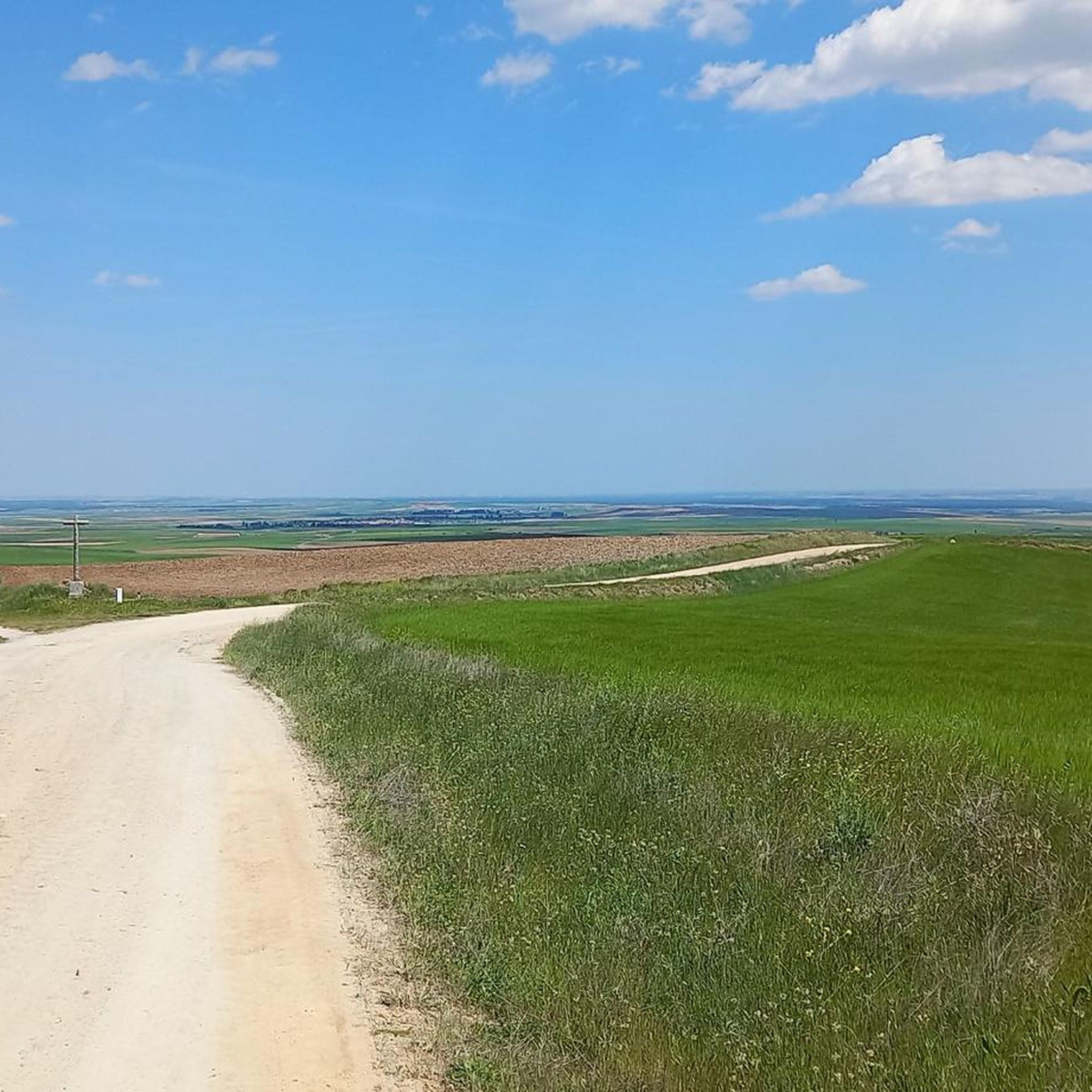
Hiking around Peñalba De Ávila offers diverse terrain where the Sierra de Ávila foothills meet the plains of La Moraña. The region is situated at an altitude of 1,070 meters, providing varied landscapes including riverine environments along the Adaja River. Hikers can explore extensive oak groves and pine forests, as well as the area around the Embalse de Las Cogotas reservoir.
Best hiking trails around Peñalba De Ávila
- The most popular hiking route is La Presa del Embalse to Castro…
Last updated: July 1, 2026
5.29km
01:32
130m
130m
Easy hike. Great for any fitness level. Easily-accessible paths. Suitable for all skill levels.
1
hikers
5.76km
01:36
110m
110m
Explore the easy 3.6-mile Route of the Mills from Mingorría, a hike along the Adaja River past historic flour mills and granite formations.

Sign up for free
4
hikers
11.9km
03:15
190m
190m
Hike a moderate 7.4-mile (11.9 km) circular route from Cardeñosa to the historic Castro de Las Cogotas with reservoir views.
16.2km
04:25
240m
240m
Moderate hike. Good fitness required. Mostly accessible paths. Sure-footedness required.
8.98km
02:17
30m
30m
Hike the 5.6-mile Lagunas de La Moraña circular trail from El Oso, a moderate route through wetlands perfect for birdwatching.
Get access to more routes and recommendations from other explorers.
Sign up for free
Already have an account?
Our route recommendations are based on thousands of hikes, rides, and runs completed by other people on komoot.
Start today with a free account
Your next adventure awaits.
Login or Signup
Popular around Peñalba De Ávila

Tips from the Community

The Castro de las Cogotas reservoir dam, located in the province of Ávila, offers spectacular views that combine engineering, nature, and archaeology.
1
0
The Castro de Las Cogotas, located in the municipality of Cardeñosa (Ávila), is one of the most emblematic Iron Age archaeological sites on the Iberian Peninsula, especially linked to the Vetton people. It is situated on a hill next to the Adaja River, surrounded by holm oak groves, pastures, and fertile land. This location offered defensive advantages and abundant natural resources. The fort is open to the public and has an Interpretation Center that explains its history and characteristics. Periodic archaeological conferences are also held on the site.
2
0
Opened in 2017, the center offers a variety of educational and recreational activities, including guided tours, real-time bird watching via video cameras, and exhibits on local fauna and flora. The center also features dioramas, a screening room, and an observation deck, providing an immersive experience for visitors.
4
0
The museum allows visitors to explore the cultural and natural heritage of El Oso while enjoying a walk in the open air. It is a great way to learn more about the history and traditions of this small municipality in Ávila. 🌄😎🚶♂️
3
0
The Church of San Pedro Apóstol in El Oso, Ávila, is a parish church dating back to the 16th century. It stands out for its stone architecture, with three naves separated by large semicircular arches and a 17th-century Baroque main altarpiece. ⛪😎 In front of the church, there is the Stone Bear, also known as Verraco Vettón. This stone sculpture is part of the town's Open Air Museum and has great historical and cultural importance.🐻
4
0
The place name Mingorría retains Basque reminiscences, deriving from “mendi gorria,” which means “red mountain” or “red land.” This is observed in other cases in the province of Ávila, such as the town of Mendigorría in Navarra. In historical documents, Mingorría already appears as Ningorría, and it is believed that there was an assimilation due to the change of the liquid initials “M” to “N.” Another legend attributes the name of Mingorría to the notice that José Chinchurreta gave to monarch Felipe II, justifying the delay in the supply of granite during the works of the Monastery of El Escorial.
4
0

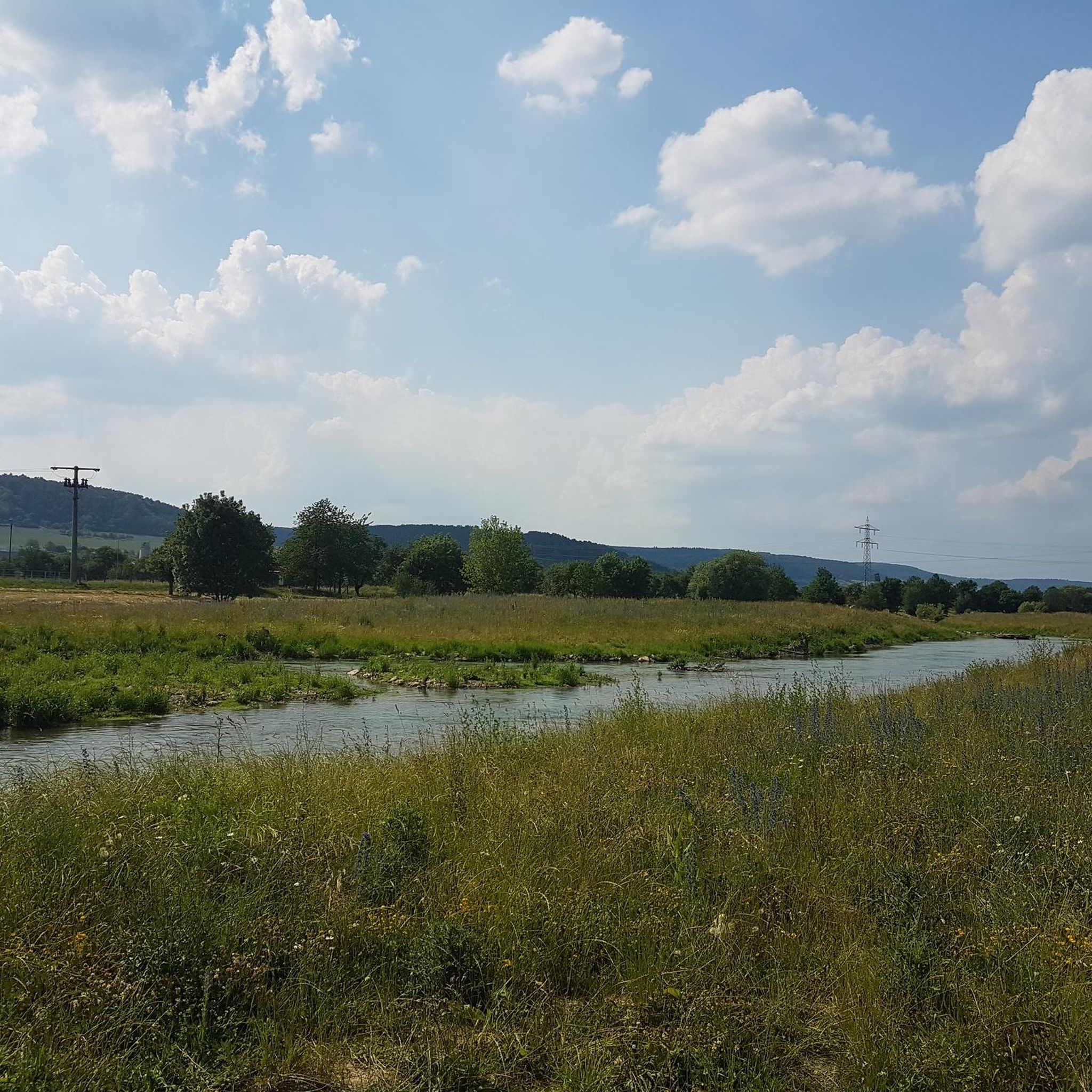
The Castro de las Cogotas reservoir dam, which retains the waters of the Adaja River, is an impressive structure. You can walk down to the river at the foot of the dam for a spectacular view of this powerful dam.
0
1
Along the way you reach the ruins of a medieval settlement, with building stones scattered on the ground of which only the main arch of a church remains standing.
2
0
Frequently Asked Questions
How many hiking trails are available in Peñalba de Ávila?
There are 15 hiking routes in Peñalba de Ávila, offering a variety of experiences from easy strolls to more challenging treks. The trails explore the unique transitional terrain where the Sierra de Ávila foothills meet the plains of La Moraña.
What kind of landscapes can I expect to see while hiking in Peñalba de Ávila?
Hikers in Peñalba de Ávila will encounter diverse landscapes, including the initial elevations of the Sierra de Ávila, expansive cereal fields of La Moraña, and riverine environments along the Adaja River. The area also features extensive oak groves and pine forests, providing shaded paths and rich natural scenery.
Are there any easy hiking trails suitable for beginners or families?
Yes, Peñalba de Ávila offers 3 easy hiking routes. A great option is La Presa del Embalse to Castro de las Cogotas — circular, which is 5.3 km long and takes about 1 hour 32 minutes, exploring the reservoir and the historic Castro de las Cogotas. Another easy choice is the Route of the Mills from Mingorría, a 5.8 km trail.
What are some notable landmarks or points of interest to see along the trails?
Many trails in the region feature significant landmarks. You can explore the ancient Castro de Las Cogotas, an Iron Age archaeological site offering historical insight and picturesque views. The Fuentes Claras Dam and Six Eyes Bridge are also points of interest, providing scenic spots along the Adaja River.
Are there any circular hiking routes in Peñalba de Ávila?
Yes, several circular routes are available. A popular moderate option is the Castro de las Cogotas Circular Trail, which is 11.9 km long. For a longer, moderate circular hike, consider Yacimiento de las Cogotas — circular desde Cardeñosa, spanning 16.2 km.
What is the best time of year to go hiking in Peñalba de Ávila?
Peñalba de Ávila offers pleasant hiking conditions during spring and autumn when temperatures are mild and the natural scenery is vibrant. Spring brings blooming flora, while autumn showcases beautiful fall colors in the oak and pine forests. Summer can be warm, making early morning or late afternoon hikes preferable, especially in shaded areas.
Are there any routes that pass by water features like rivers or reservoirs?
Yes, the region is characterized by its riverine environment. The Adaja River flows through the municipal area, and many routes, such as La Presa del Embalse to Castro de las Cogotas — circular, explore the area around the Embalse de Las Cogotas reservoir, offering picturesque views of the water.
What do other hikers say about the trails in Peñalba de Ávila?
The komoot community appreciates the varied terrain and natural beauty of Peñalba de Ávila. Hikers often highlight the peacefulness of the oak groves and pine forests, as well as the historical interest of sites like the Castro de Las Cogotas. The network offers options for different ability levels, from easy walks to more challenging routes.
Can I find trails that are suitable for birdwatching?
Absolutely. The diverse ecosystems, including riverine environments along the Adaja River and various forest types, make Peñalba de Ávila an excellent spot for birdwatching. The region's natural features attract a variety of bird species, providing a fascinating activity for nature lovers during their hikes.
Are there any longer, more challenging hikes for experienced trekkers?
Yes, for those seeking a greater challenge, there are 2 difficult routes available. Additionally, many of the 10 moderate routes, such as Yacimiento de las Cogotas — circular desde Cardeñosa (16.2 km), offer longer distances and more elevation gain, providing a rewarding experience for experienced hikers.
What is the highest point I can reach on a hike in Peñalba de Ávila?
While specific peak names aren't detailed for every route, Peñalba de Ávila is situated at an altitude of 1,070 meters, and some trails venture into the initial elevations of the Sierra de Ávila foothills. These routes will offer the most significant ascents and panoramic views of the surrounding plains and forests.
Most popular routes around Peñalba De Ávila
Most popular attractions around Peñalba De Ávila

Get inspired with the komoot mobile app


Explore more
Browse the best Hikes in other regions.
