The best MTB trails around Barillas
4.5
(31)
435
riders
128
rides
Mountain biking around Barillas, located in Guatemala's Huehuetenango department, offers routes through the Sierra de los Cuchumatanes, Central America's highest non-volcanic mountain range. The region features a varied topography with significant altitude differences, ranging from high-alpine riding to deep pine forests and tropical grasslands. This dynamic environment provides diverse terrain for mountain bikers, characterized by rugged mountains, numerous rivers, and natural attractions like Laguna Maxbal.
Best mountain bike trails around Barillas
- The most popular mountain bike trail is Tarazona –…
Last updated: October 7, 2026
4.5
(10)
45
riders
Moderate mountain bike ride. Good fitness required. Suitable for all skill levels.
5.0
(1)
19
riders
Moderate mountain bike ride. Good fitness required. Suitable for all skill levels.

3.0
(2)
12
riders
19.7km
01:09
90m
90m
Easy mountain bike ride. Great for any fitness level. Suitable for all skill levels.
8
riders
30.8km
02:16
110m
110m
Moderate mountain bike ride. Good fitness required. Suitable for all skill levels.
6
riders
32.3km
02:22
260m
260m
Moderate mountain bike ride. Good fitness required. Suitable for all skill levels.
Get access to more routes and recommendations from other explorers.
Already have an account?
Our route recommendations are based on thousands of hikes, rides, and runs completed by other people on komoot.
Start today with a free account
Your next adventure awaits.

Tips from the Community

The Ebro Bridge in Tudela is an impressive example of medieval architecture. Built of stone, it spans 360 meters and consists of 16 piers and 17 uneven arches. This bridge is fundamental to the history of Tudela, as it has been a strategic crossing over the Ebro River since its construction in the 12th and 13th centuries. Although tradition attributes its construction to King Sancho VII the Strong, some historians suggest it may be a reconstruction of an earlier Muslim bridge. Over the years, it has undergone numerous renovations to withstand floods and the ravages of time.
3
0

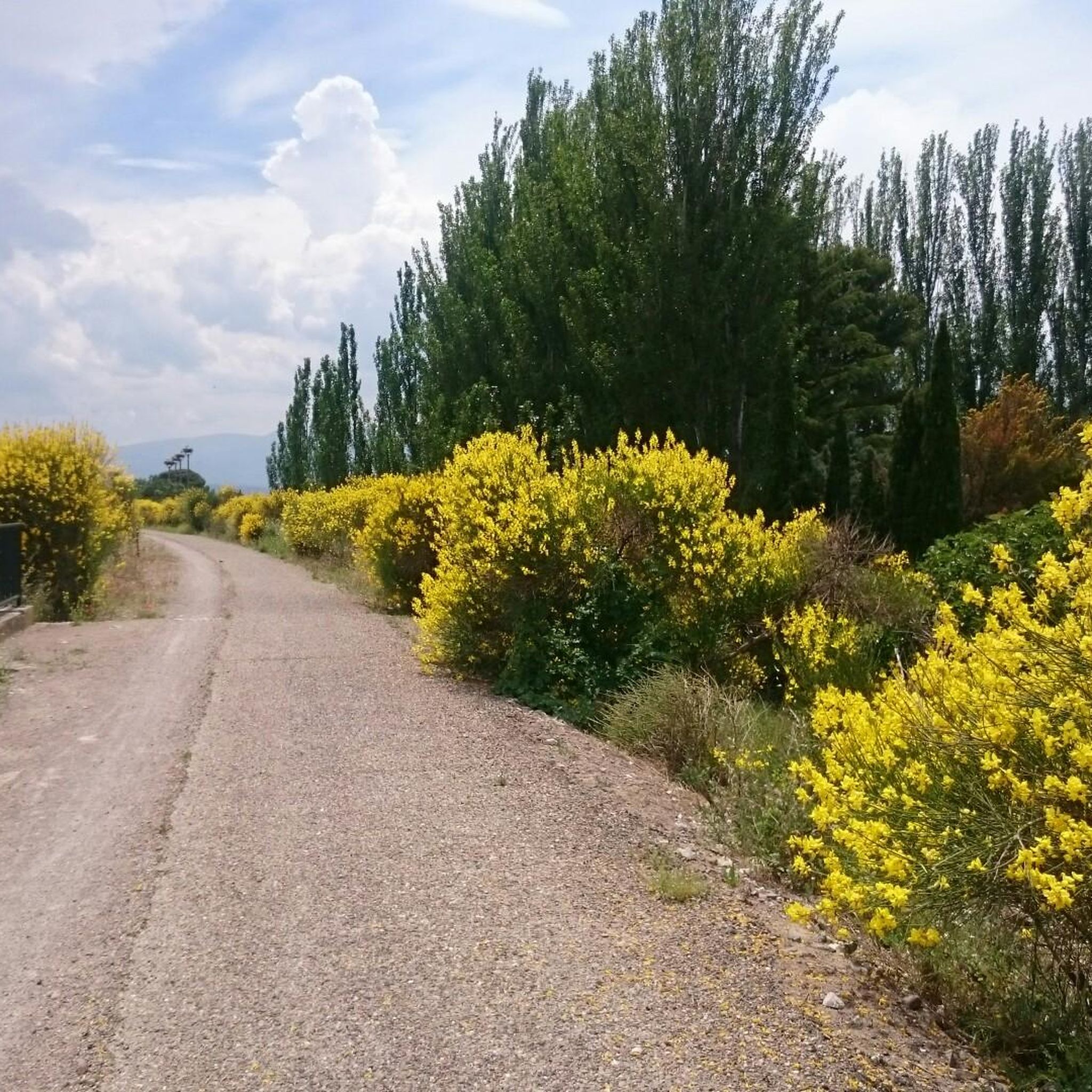
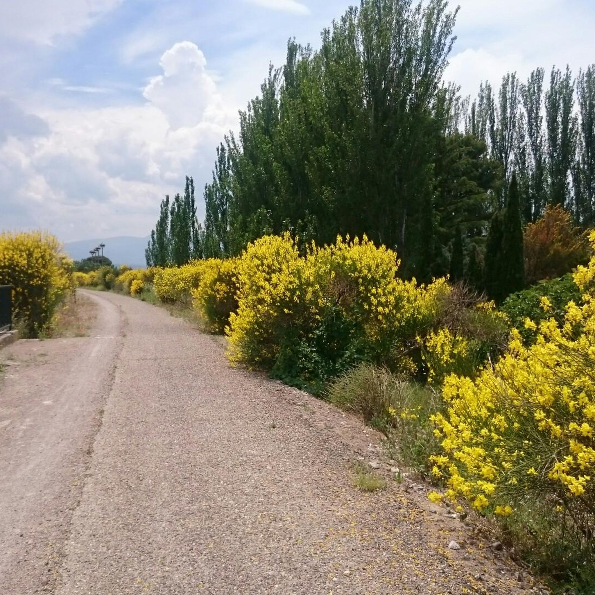
Stork's nest on the disused railway line
0
0

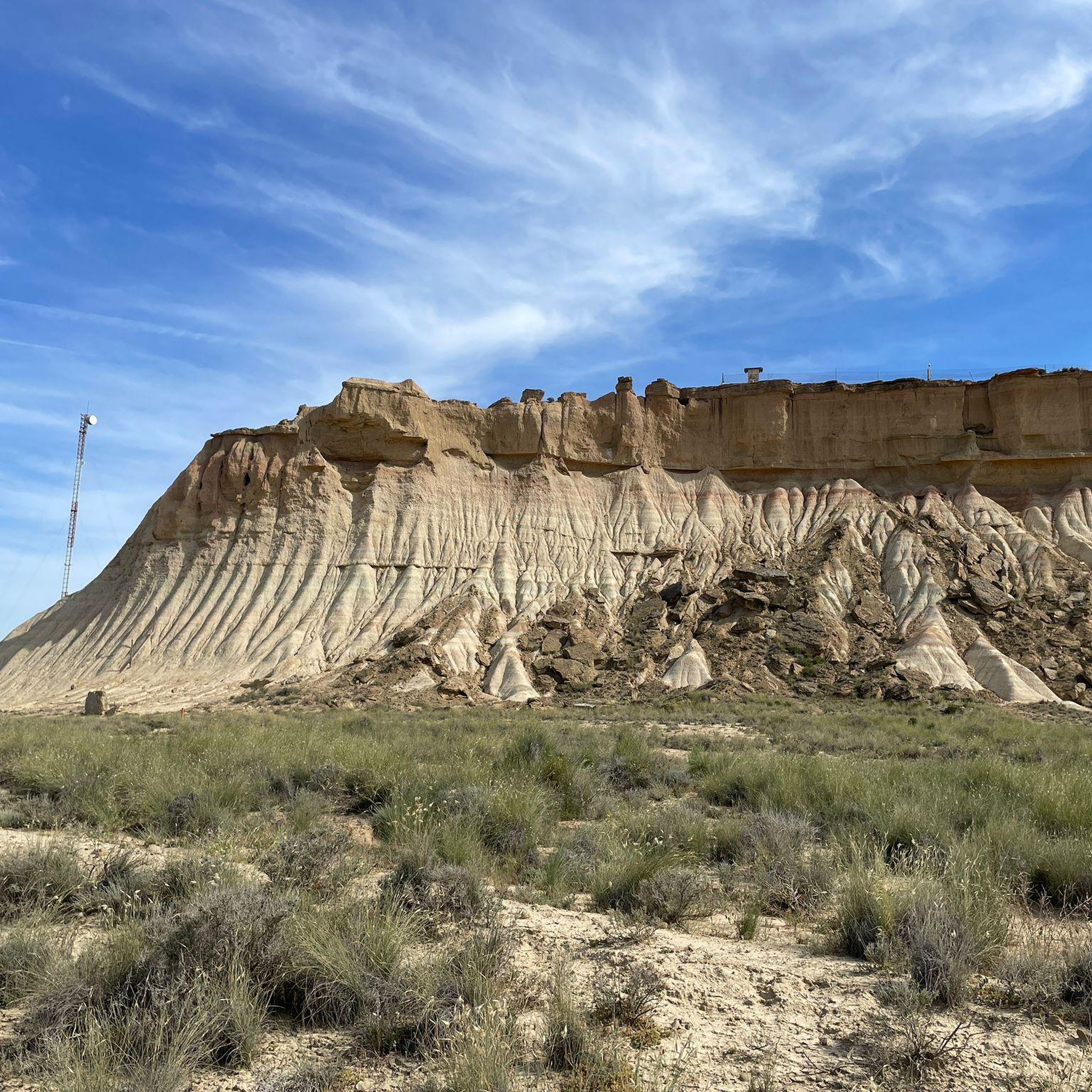
The Balcón de Pilatos is a unique observation post for birds of prey (accessible only on foot or by bike). Vultures, golden eagles, and Egyptian vultures are common in the Bardenas.
0
0

The Balcón de Pilatos is a plateau in the Bardenas that allows you to see it in its entirety from above. From here, you can see the Shooting Range; the Valfondo ravine; in the background to the right, "Las Cortinas"; to the left, "El Yugo," "La Estroza," etc. It has many "veres": in spring, it will be a beautiful green; in summer, a desert-like yellow-ochre, also beautiful to me; if it has rained beforehand, it will be a deep brown (don't even think about entering: you'll be trapped for several days, as many unfamiliar people are). Its characteristics are due to the deforestation carried out since ancient times to obtain wood to meet the needs of the new society following the unification of the Catholic Monarchs and the subsequent Imperial needs. At the beginning of the last century, the resin from the remaining pine trees was also used to make "pez" (one of the pitch ovens has been rehabilitated). Now we find ourselves with a territory that is declared a Natural Park in an attempt to "conserve" the natural disasters produced by the "wild deforestation" carried out: Bardenas Reales de Navarra is the fruit of human action that has turned an "immense Mediterranean forest" into a "semi-desert place with no possibility of recovery: It would not be bad if someone with greater environmental sensitivity thought about, and launched, a project to demonstrate the capacity for human environmental destruction instead of using European and military (NATO and Spanish) money to "conserve!?-exploit" for tourism purposes what a "Town Council" decides without control of a Democratic Parliament, in the best feudal style of those that still remain in our country. That's Bardenas!
1
0
This route follows trails that are sometimes vertiginous: it's a route for trial riders and cyclists with a high level of bike proficiency; it's not suitable for touring riders.
1
0

As we passed through Tudela, we were lucky enough to unwittingly witness the first running of the bulls of the town's festival. We were able to watch the running of the bulls (8:00 AM) from the hotel, right in front of the last curve before entering the square. Afterwards, we started our route toward Zaragoza-Pinseque.
0
0
Entrance to Tudela via the bridge over the Ebro River. Beautiful view of the old part of the city and the river.
0
0
Bridge over the river at the entrance to Tudela through the old town and cathedral
0
0
Frequently Asked Questions
How many mountain bike trails are available around Barillas?
There are over 90 mountain bike routes available around Barillas on komoot, offering a wide range of experiences for different skill levels.
What are the difficulty levels of mountain bike trails in Barillas?
The trails around Barillas cater to various skill levels. You'll find 9 easy routes, 62 moderate routes, and 22 difficult routes, ensuring options for beginners to experienced riders.
What kind of terrain can I expect when mountain biking in Barillas?
Mountain biking in Barillas offers highly technical, raw, and varied terrain within the Sierra de los Cuchumatanes. You can expect significant elevation changes, from high-altitude rocky areas to deep pine forests and tropical grasslands. The region is known for its dramatic landscapes, often referred to as 'The Alps of Guatemala'.
Are there any circular mountain bike trails in Barillas?
Yes, many routes around Barillas are designed as loops. For example, you could try the Hotel Aire de Bardenas – Balcón de Pilatos Viewpoint loop from Murchante, which is a moderate 43 km ride.
What do other mountain bikers enjoy most about the trails in Barillas?
The mountain bike trails in Barillas are highly rated by the komoot community, with an average score of 4.6 stars from over 20 reviews. Riders often praise the diverse ecosystems, the challenging high-alpine riding, and the expansive, treeless terrain that offers breathtaking views.
Are there any trails suitable for advanced mountain bikers?
Yes, Barillas offers 22 difficult routes for advanced mountain bikers. These trails often feature the rugged and technical terrain of the Sierra de los Cuchumatanes, providing a challenging experience with significant elevation changes and sustained descents.
What is the best time of year for mountain biking in Barillas?
Barillas experiences a tropical rainforest climate with heavy rainfall year-round. While this contributes to lush, vibrant landscapes, it's important to be prepared for wet conditions. The dry season (typically November to April) might offer more consistent riding conditions, but trails can be ridden year-round with appropriate gear.
Are there any scenic viewpoints along the mountain bike routes?
Given Barillas's location within the Sierra de los Cuchumatanes, many routes offer breathtaking views of the highest non-volcanic mountain range in Central America. The diverse topography, from rocky peaks to deep forests, provides numerous scenic overlooks.
What natural attractions can I explore near the mountain bike trails?
The region is rich in natural beauty. You can find features like the Rio Q'amb'alam waterfall, Nacimiento del Río San Juan, Laguna Maxbal, Cascada Pajaj, Laguna Tortuga, and Río Quisil. The Montañas Yolhuitz are also known for their ecological diversity and the Yolhuitz River.
Are there any cultural or historical landmarks nearby that I can visit?
While the focus is on natural landscapes, the broader Huehuetenango department has a rich cultural heritage. You can explore nearby attractions such as Tarazona, the Cathedral of Saint Mary of the Huerta of Tarazona, or the Bocal Dam.
Are there any moderate mountain bike trails for intermediate riders?
Yes, the majority of trails around Barillas are classified as moderate, with 62 such routes available. These trails offer a good balance of challenge and accessibility, perfect for intermediate riders looking to explore the varied landscapes. An example is the Mirador de la Diezma loop from Murchante, a 58 km ride with over 500m of elevation gain.
What is the average distance and elevation gain for mountain bike routes in Barillas?
The routes vary significantly. For instance, a moderate trail like the Balcón de Pilatos Viewpoint – Hotel Aire de Bardenas loop from Ablitas covers about 66 km with around 540m of elevation gain, while the Abadía Viewpoint – Tudela Bridge loop from Murchante is about 43 km with nearly 500m of ascent.
Most popular attractions around Barillas

Get inspired with the komoot mobile app


Explore more
Browse the best MTB trails in other regions.
