The best running trails around Santa María De Cayón
4.7
(3)
366
runners
20
runs
Jogging routes around Santa María De Cayón traverse a landscape characterized by soft, undulating hills and lush meadows within the Pas-Miera region of Cantabria, Spain. The area features a network of trails, including greenways and paths along river valleys, suitable for running. Elevations like Peña El Acebo and Monte Carceña provide varied terrain, from gentle riverside routes to more challenging ascents. This region offers diverse natural settings for outdoor activities.
Best jogging routes around Santa María De Cayón
- The most…
Last updated: July 6, 2026
30
runners
27.1km
03:23
1,010m
1,010m
Hard run. Very good fitness required. Mostly paved surfaces. Suitable for all skill levels.
25
runners
11.0km
01:08
40m
40m
Moderate run. Good fitness required. Mostly paved surfaces. Suitable for all skill levels.

Sign up for free
20
runners
22.1km
02:34
640m
640m
Hard run. Very good fitness required. Mostly paved surfaces. Suitable for all skill levels.
20
runners
14.9km
01:33
50m
50m
Moderate run. Good fitness required. Mostly paved surfaces. Suitable for all skill levels.
15
runners
5.71km
00:35
20m
20m
Moderate run. Good fitness required. Mostly paved surfaces. Suitable for all skill levels.
Get access to more routes and recommendations from other explorers.
Sign up for free
Already have an account?
Our route recommendations are based on thousands of hikes, rides, and runs completed by other people on komoot.
Start today with a free account
Your next adventure awaits.
Login or Signup
Frequently Asked Questions
How many running routes are available in Santa María De Cayón?
There are over 20 running routes around Santa María De Cayón, offering a variety of distances and difficulty levels. These routes are highly rated by the komoot community, with an average score of 4.5 stars.
Are there any easy or moderate running paths suitable for beginners or casual joggers?
Yes, Santa María De Cayón offers several moderate running paths. For instance, the Puente loop from Santa María de Cayón is a moderate 6.8-mile (11.0 km) path featuring gentle terrain along the river. Another good option is the Río Pisueña loop from La Penilla, which is a shorter 3.5-mile (5.7 km) moderate route.
What kind of terrain can I expect on the jogging routes in Santa María De Cayón?
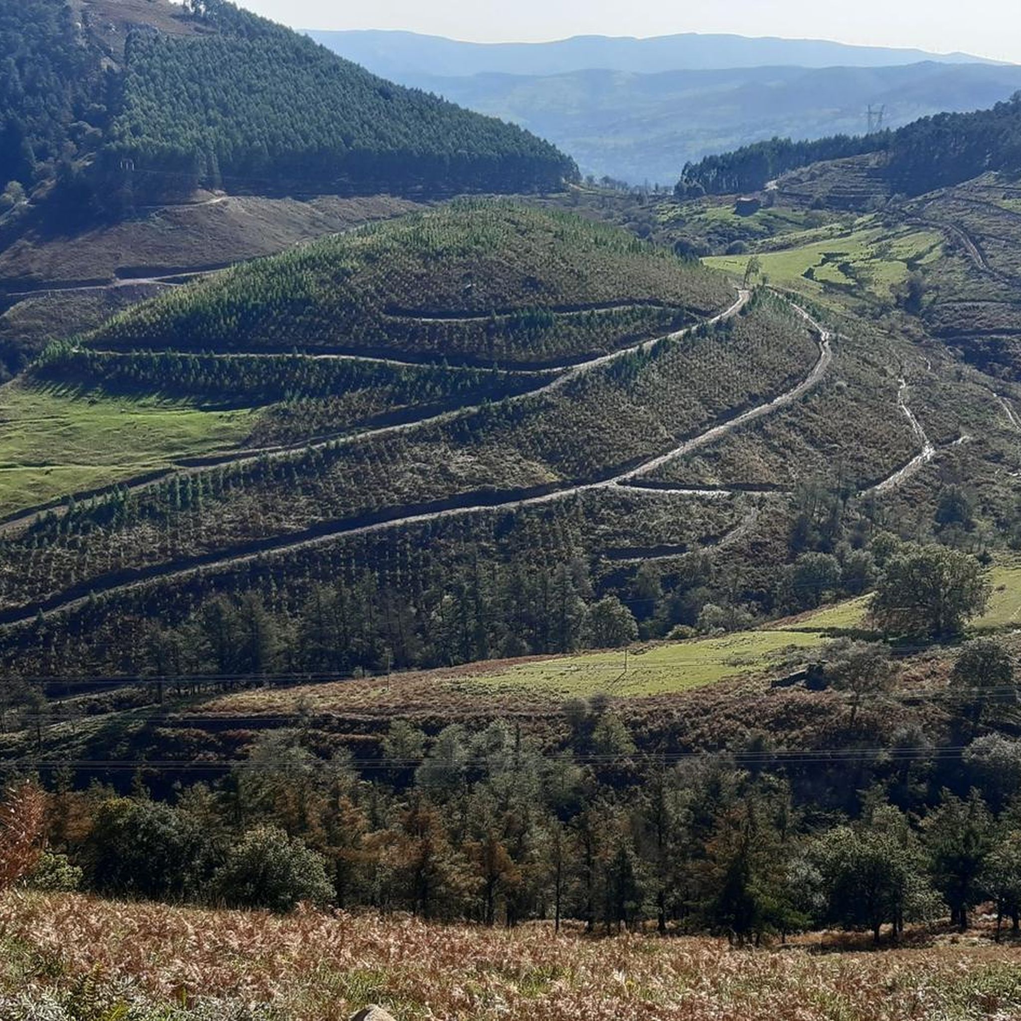
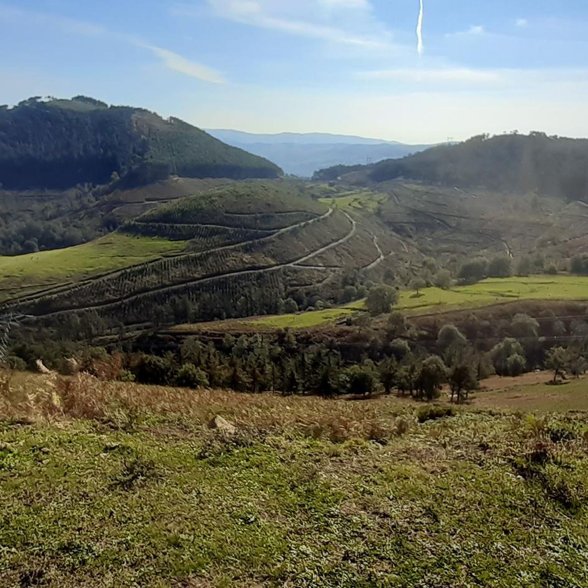
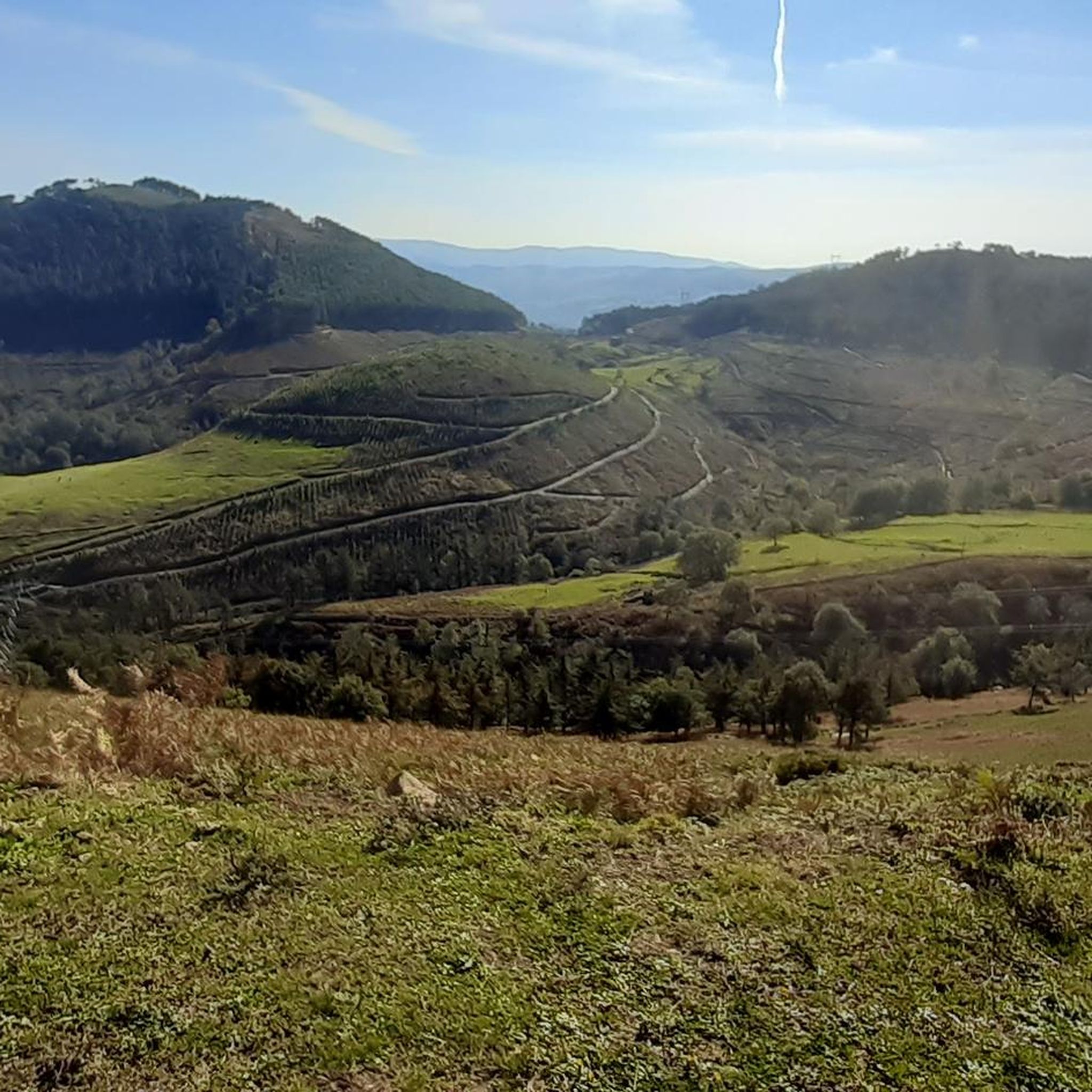
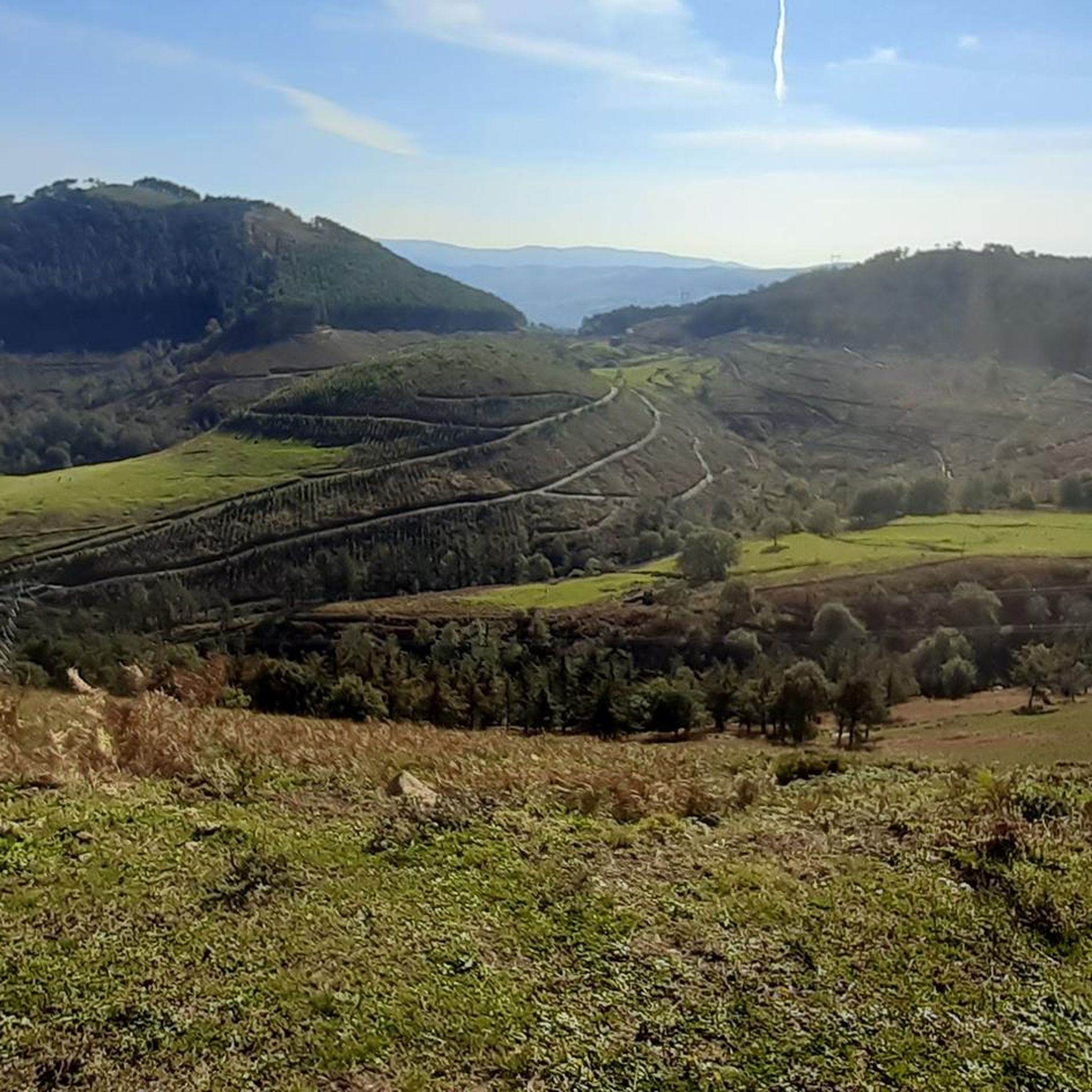
The terrain in Santa María De Cayón is quite varied. You'll find soft, undulating hills and lush meadows, especially along river valleys like the Pisueña and Suscuaja. There are also greenways, which are generally flat and well-maintained, as well as more challenging ascents in areas like Peña El Acebo and Monte Carceña.
Are there any circular running routes in the area?
Yes, many of the routes in Santa María De Cayón are circular, allowing you to start and finish in the same location. Examples include the El Caballar loop from Santa María de Cayón, which is a challenging 17.0-mile (27.4 km) route, and the Vía Verde del Pas loop from Santa María de Cayón, a moderate 9.3-mile (14.9 km) option.
Can I find running routes that pass by scenic viewpoints or natural attractions?
Absolutely. The region is rich in natural beauty. You can find routes that lead to the charming Churrón de Borleña Waterfall via a picturesque path through a forest. For panoramic views, some routes offer glimpses of the Bay of Santander and the Cordillera Cantábrica from higher elevations like Peñas Blancas Summit.
Are there any historical or cultural landmarks I can see while jogging?
Yes, you can integrate historical and cultural sights into your runs. The area features Romanesque churches, traditional 'casas indianas,' and palaces like the Palacio de Ceballos. The Reyerma Steam Locomotive, located on the greenway, also offers a unique historical landmark along a potential jogging path.
What is the Vía Verde del Pas, and is it suitable for running?
The Vía Verde del Pas is a scenic greenway that follows an old train line, passing through Santa María de Cayón (specifically Sarón, La Encina, and La Penilla). This 35 km route is perfect for long, uninterrupted jogs, offering fresh air and pleasant views on a generally flat and well-maintained surface.
Are the running routes in Santa María De Cayón dog-friendly?
Many of the natural trails and greenways in Santa María De Cayón are suitable for running with dogs, provided they are kept under control. The riverside paths and forest trails offer pleasant environments for both you and your canine companion. Always check local regulations and be mindful of other trail users.
What is the best time of year to go jogging in Santa María De Cayón?
Santa María De Cayón benefits from a mild climate with abundant precipitation, contributing to its lush terrain. Spring and autumn generally offer pleasant temperatures for jogging. Summers are warm but often tempered by coastal breezes, while winters are mild, making it a refreshing destination for outdoor activities year-round.
Are there challenging running routes for experienced runners?
Yes, for experienced runners seeking a challenge, there are routes with significant elevation gain. The El Caballar loop from Santa María de Cayón is a difficult 17.0-mile (27.4 km) trail with over 1000 meters of elevation gain. Another demanding option is the Río Suscuaja – Río Pisueña loop from Santa María de Cayón, a 13.8-mile (22.2 km) difficult trail with over 600 meters of ascent.
Is parking available near the running trails?
Parking is generally available in the villages and near access points to popular trails and greenways, such as the Vía Verde del Pas. Specific parking information can often be found on individual route descriptions on komoot or by checking local signage.
What do other runners enjoy most about jogging in Santa María De Cayón?
The area is highly rated by the komoot community, with an average score of 4.5 stars. Reviewers often praise the diverse natural settings, from serene riverside paths through mixed forests to the undulating hills and greenways, offering a refreshing and varied experience for all ability levels.
Most popular routes around Santa María De Cayón
Most popular attractions around Santa María De Cayón

Get inspired with the komoot mobile app


Explore more
Browse the best Running Trails & Routes in other regions.
