The best walks and hikes around Querol
4.6
(229)
1,478
hikers
12
hikes
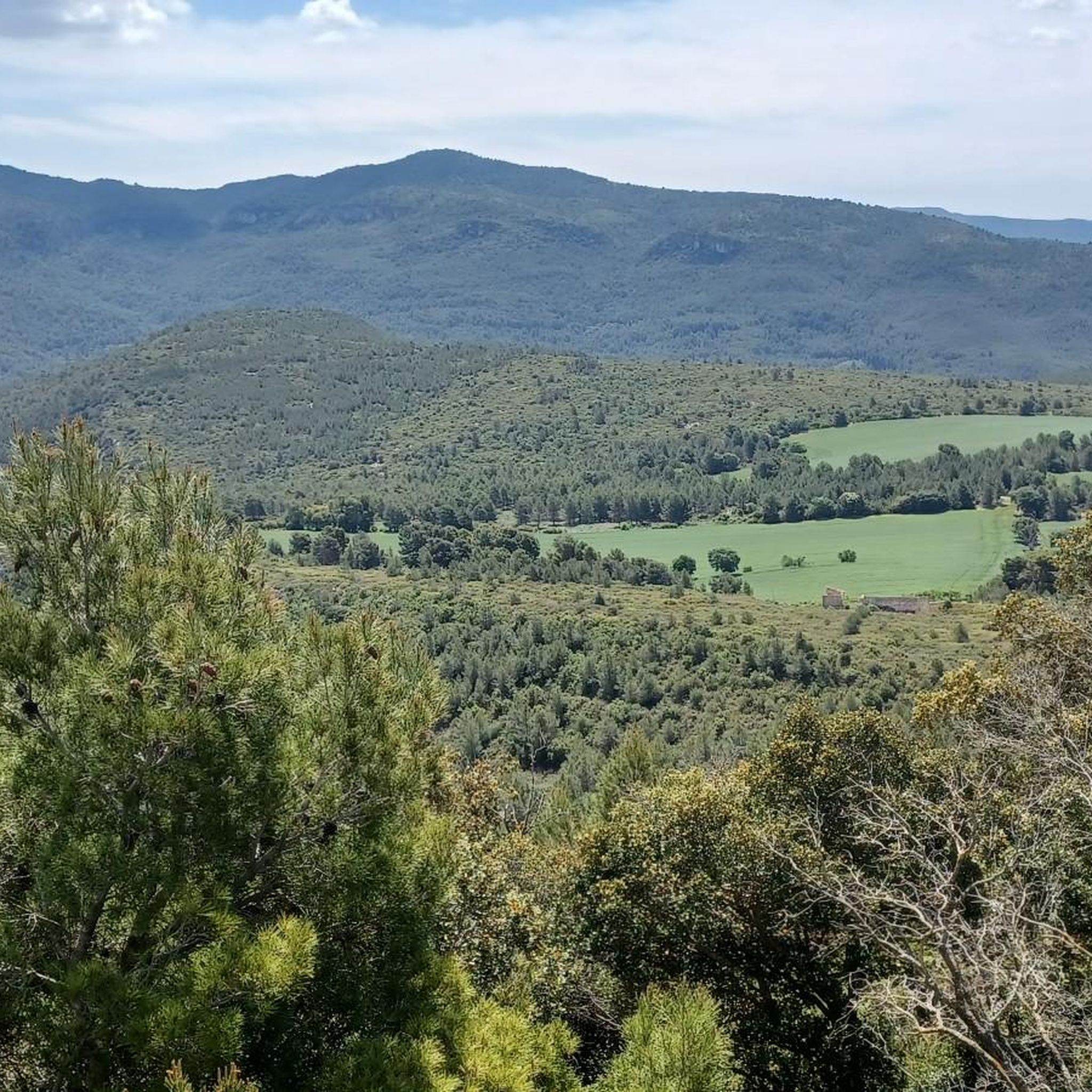
Hiking around Querol, a mountainous municipality in Alt Camp, is characterized by its rugged terrain and diverse landscapes. The region features the Gaià river and several torrents, with trails often traversing the Prelitoral mountain ranges, including Comaverd and Plana d'Angosa. These ranges include peaks like Puig Formigosa, offering varied elevation changes and views. The area's natural environment also includes monumental trees and historical sites.
Best hiking trails around Querol
- The most popular hiking route is Mas Benet – barraca de…
Last updated: October 12, 2026
4.8
(11)
89
hikers
14.8km
04:09
290m
290m
Moderate hike. Good fitness required. Easily-accessible paths. Suitable for all skill levels.
4.0
(2)
14
hikers
3.48km
01:02
110m
110m
Easy hike. Great for any fitness level. Easily-accessible paths. Suitable for all skill levels.

4.5
(2)
10
hikers
12.5km
03:50
440m
440m
Moderate hike. Good fitness required. Easily-accessible paths. Suitable for all skill levels.
4
hikers
7.98km
02:26
260m
260m
Moderate hike. Good fitness required. Easily-accessible paths. Suitable for all skill levels.
5.0
(1)
6
hikers
10.1km
02:50
180m
180m
Moderate hike. Good fitness required. Easily-accessible paths. Suitable for all skill levels.
Get access to more routes and recommendations from other explorers.
Already have an account?
Our route recommendations are based on thousands of hikes, rides, and runs completed by other people on komoot.
Start today with a free account
Your next adventure awaits.

Tips from the Community

Fountain with good drinking water, located directly on the GR7 hiking trail
4
0
Beautiful monastery, located directly on the GR7 hiking trail
4
0

Pont d'Armentera is a town in the Alt Camp region (Tarragona) that has a long history. Of Roman origin, the first settlers settled when the aqueduct that fed the ancient Roman city of Tarraco (modern Tarragona) was built. In the northwest of the town there is a very well preserved Roman aqueduct (known as Pont de les Femades and restored in the 18th century) that carried the waters of the Gaià to Tarraco. This use of the waters of the Gaià reached the streets of the town, where various canals were built to feed both the important textile industry that developed from the 14th century onwards and the wheat mills.
1
0

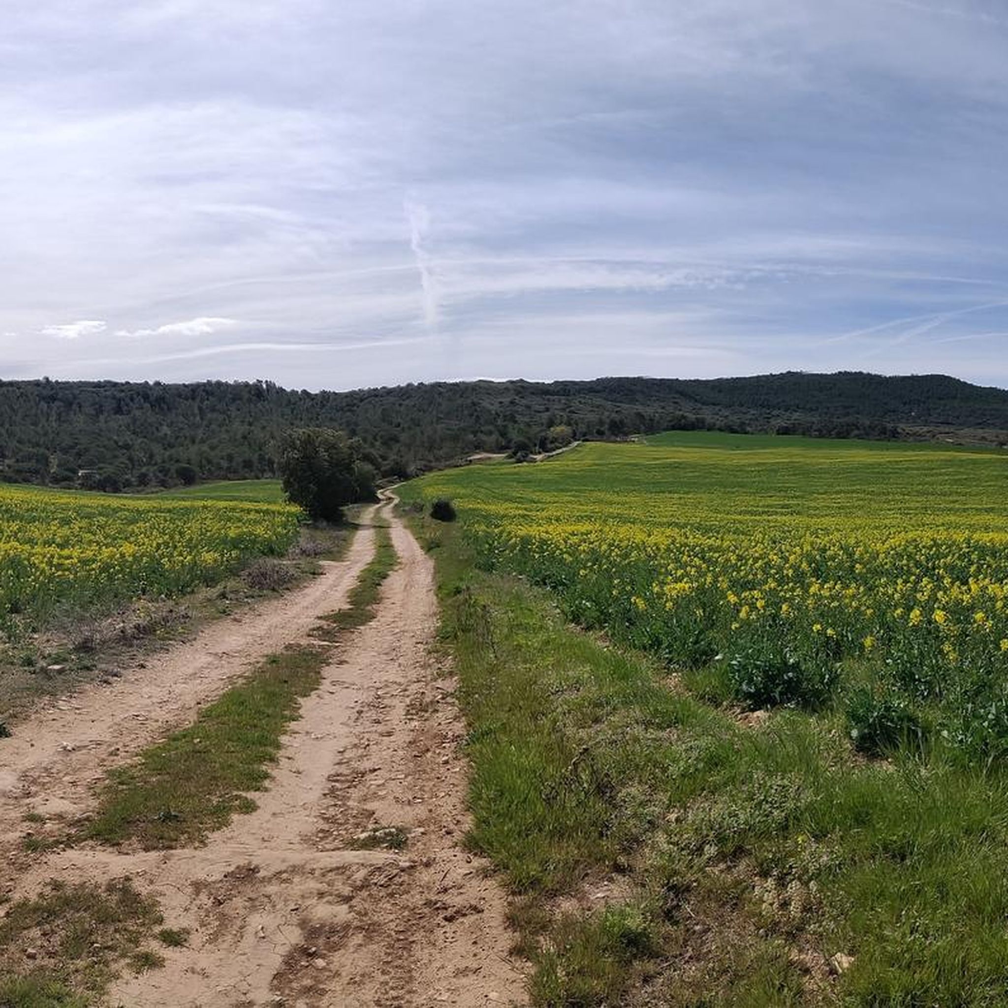
Entertaining route that runs parallel to the river Gaià. The path is easy to do and has practically no complications, perhaps there will only be a couple of steps that can be a bit difficult and can be passed without problems, which would be the first walkway (where I go down the planks of about 50cm wide and supported on some "nails" sunk into the wall) with a rope to help us cross this first short section of footbridges and the first bridge with a length of about 15m (also with a width of about 50cm) that crosses the river Gaià, at about 2/3m above the river (which does not have any type of handrail, cable or rope to help cross it). From this point, continue very well until the fork to the right and to the left of the path (the route has been changed, and now to the left you reach the end of the path) and until you reach the fork, there are a couple of more sections of walkways but easy to pass where aided by the ropes will not pose any problem.
2
0

Mount 963 meters high in the municipality of Querol. From the top, where you can find a geodesic vertex, you can see privileged views of the Alt Camp.
2
0
Lake Formigosa is located in the municipality of Querlo, gate of the New Houses of Formigosa and the Clota Fountain.
2
0
Gothic-style church located in the municipality of Querlo, in Alt Camp. The façade has two steeple bell towers and the access door is made up of three arches.
4
0
Frequently Asked Questions
How many hiking trails are available in Querol?
Querol offers a wide variety of hiking experiences with over 130 trails. These include 28 easy routes, 93 moderate routes, and 12 more challenging options, catering to all skill levels.
What is the best time of year to go hiking in Querol?
The climate in Querol is Mediterranean with continental influences, providing temperate and mild conditions. Rainfall is concentrated in spring and autumn, making these seasons ideal for hiking. Summers are generally warm, and winters are mild, allowing for year-round outdoor activity, though spring and autumn offer the most comfortable temperatures.
Are there family-friendly hiking options in Querol?
Yes, Querol has several easy routes suitable for families. For example, the El Pont d'Armentera loop from el Pont d'Armentera is an easy 6.1 km path that offers a gentle walk through the countryside, perfect for a family outing.
What historical sites can I explore while hiking in Querol?
Querol is rich in history, featuring several medieval castles. You can explore sites like Querol Castle, Pinyana Castle, and Saburella Castle. The Selmella Castle – Saburella Castle loop from Vallespinosa is a moderate 12.2 km trail that specifically leads through these historical castle sites, offering a cultural dimension to your hike.
Are there any natural monuments or unique natural features to see in Querol?
Absolutely. Querol's natural environment boasts monumental trees like the Pino de las Cuatro Ramas (Pine of the Four Branches) and the Encina de la Casa Nueva (Oak of the New House). You can also discover various springs and natural pools, such as the Les Dous Fountain or the Font d'Encovens, which are popular highlights in the area.
What do other hikers enjoy most about hiking in Querol?
The komoot community highly rates hiking in Querol, with an average score of 4.6 stars from over 200 reviews. Hikers often praise the diverse landscapes, from rugged mountains to the tranquil Gaià river, and the well-maintained trails that lead to historical castles and natural monuments.
Are there any circular hiking routes in Querol?
Yes, many of Querol's trails are circular, allowing you to start and end at the same point. A popular example is the Mas Benet – barraca de pedra seca 20011 loop from Querol, a moderate 13.4 km route that explores the local landscape, including a dry stone hut.
Can I find trails that lead to scenic viewpoints or mountain peaks?
Querol's mountainous terrain, including the Prelitoral mountain ranges like Comaverd and Plana d'Angosa, offers numerous opportunities for scenic views. Peaks such as Puig Formigosa and Montagut Peak (962 m) provide stunning panoramas of the region. You can also find viewpoints like View of Pico del Montmell.
Are there any trails that feature water elements like rivers or waterfalls?
The Gaià river and several torrents, such as the Esblada, traverse Querol, providing beautiful water features along many trails. While specific waterfalls are not prominently listed, you can explore routes that follow these waterways, such as the Gorg Negre loop from Querol, which is an easy 3.5 km hike.
Is public transport available to access hiking trails in Querol?
Querol is a mountainous municipality, and while some local bus services might connect larger towns, direct public transport access to specific trailheads can be limited. It's generally recommended to use a car to reach the starting points of most hiking routes in the area for maximum flexibility.
Where can I find parking for hiking trails in Querol?
Parking availability varies by trailhead. Many routes, especially those starting from villages like Querol or Vallespinosa, will have designated parking areas or roadside spots. It's advisable to check the specific route details on komoot for information regarding parking at your chosen starting point.
Most popular attractions around Querol

Get inspired with the komoot mobile app


Explore more
Browse the best Hikes in other regions.
