The best road cycling routes around Martorelles
4.5
(362)
23,020
riders
92
rides
Road cycling around Martorelles offers diverse terrain, characterized by hilly landscapes, notable mountain passes, and varied forests. The region is situated within the northwestern slope of the Coastal Range, providing rewarding ascents and descents. Cyclists can explore routes that feature natural springs and historical sites, with elevation gains suitable for different fitness levels.
Best road cycling routes around Martorelles
- The most popular road cycling route is Parpers Pass – Can Bordoi Pass loop from Mollet - Sant Fost, a…
Last updated: July 11, 2026
4.3
(9)
550
riders
70.2km
03:24
940m
940m
Hard road ride. Very good fitness required. Mostly well-paved surfaces and easy to ride.
5.0
(1)
223
riders
39.6km
01:51
410m
410m
Moderate road ride. Good fitness required. Mostly well-paved surfaces and easy to ride.

Sign up for free
5.0
(1)
171
riders
54.7km
02:53
910m
910m
Hard road ride. Very good fitness required. Some segments of this route may be unpaved and difficult to ride.
170
riders
54.3km
02:34
470m
470m
Moderate road ride. Good fitness required. Some segments of this route may be unpaved and difficult to ride.
82
riders
24.5km
01:11
300m
300m
Moderate road ride. Good fitness required. Mostly well-paved surfaces and easy to ride.
Get access to more routes and recommendations from other explorers.
Sign up for free
Already have an account?
Our route recommendations are based on thousands of hikes, rides, and runs completed by other people on komoot.
Start today with a free account
Your next adventure awaits.
Login or Signup
Tips from the Community

Formerly known as Pllaça del Blat, and also Llotja del Gra, it is already mentioned in the year 944, linked to the function of a market.
0
0

Real nice, shame it's only about 2 km but also a shame there aren't more such roads in the area. Go when there's no racing or practice sessions at the nearby Montmeló circuit!
0
0


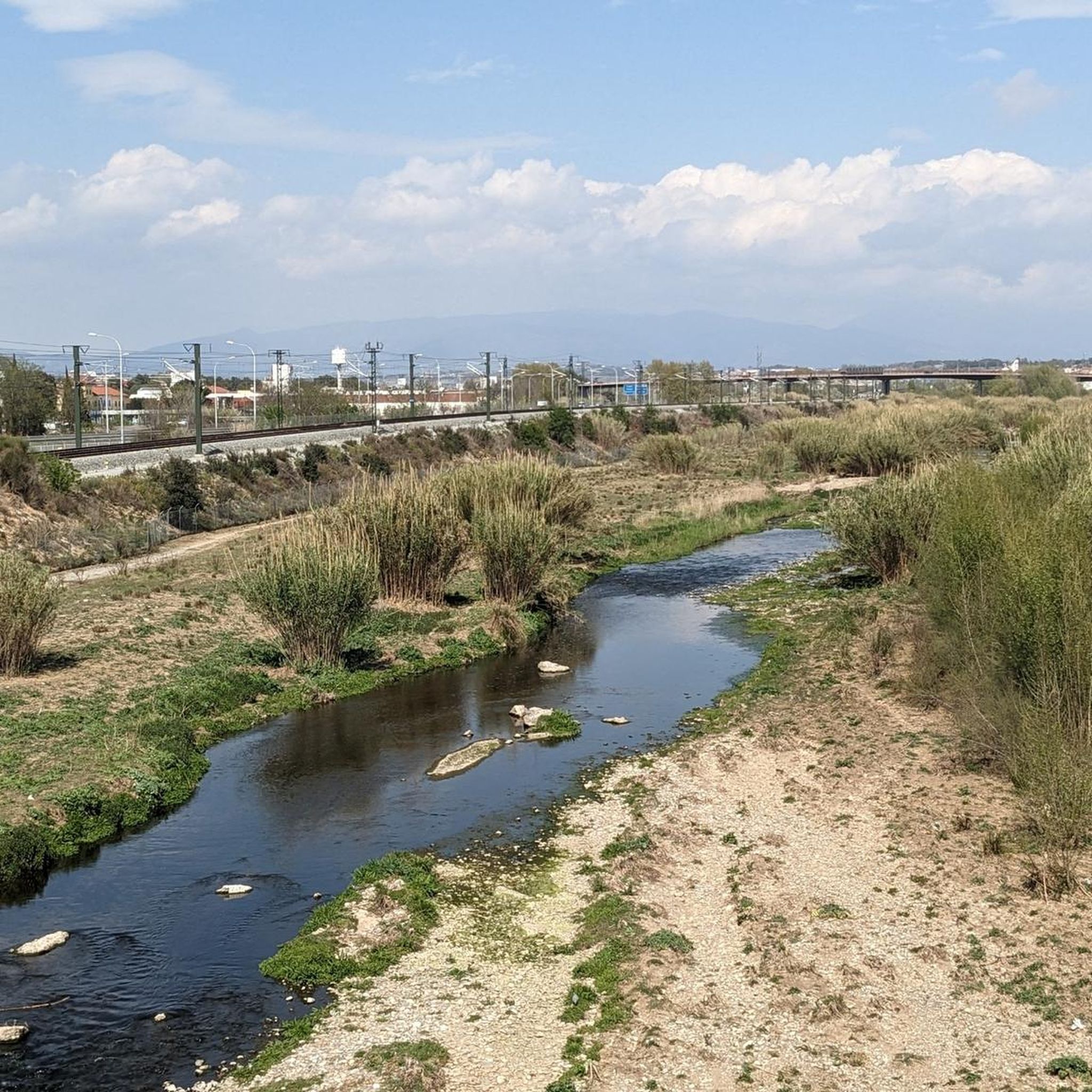
Formed by the last 9 kilometers of the Besòs River. It's a great place for sports or walking with children and families. It also has a bike lane.
0
0

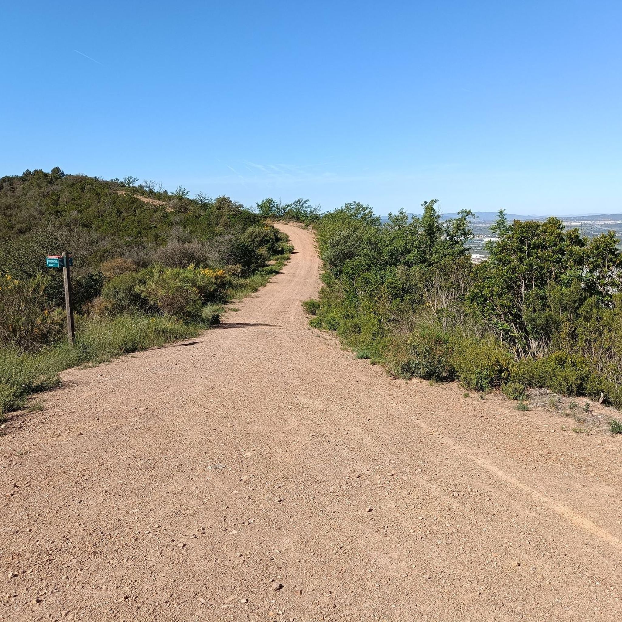
Good route point, good for road, gravel or M4B
0
0
Very pretty, but it can get crowded on weekends.
0
0

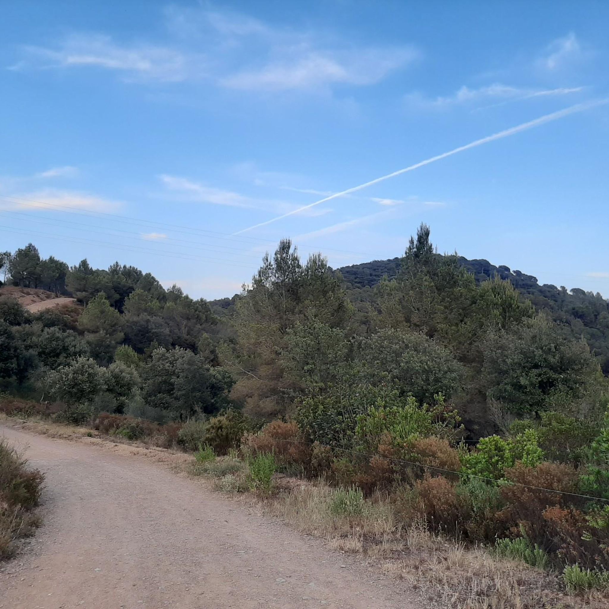
The uphill stretch from Roca del Valles isn't difficult and is a lovely greenery. The descent to the Orrius junction is similar.
1
0

Coll del Farell, is not the real peak of the urbanization, which is located one km higher. It reaches 690 meters above sea level, after an ascent of about 9 km from Caldes.
1
0
Frequently Asked Questions
How many road cycling routes are available around Martorelles?
There are over 80 road cycling routes around Martorelles, offering a wide range of options for different fitness levels and preferences. The komoot community has explored more than 24,000 road cycling tours in the area.
What kind of terrain can I expect on road cycling routes near Martorelles?
The terrain around Martorelles is diverse, characterized by hilly landscapes and notable mountain passes, as it's situated within the northwestern slope of the Coastal Range. You'll find routes with rewarding ascents and descents, ranging from moderate to challenging, with mostly well-paved surfaces.
Are there routes suitable for beginners or those looking for an easier ride?
Yes, Martorelles offers routes suitable for various fitness levels. While many routes feature significant elevation, there are 22 easy and 49 moderate routes available. For example, the Sant Pere de Bigues loop from Mollet - Sant Fost is a moderate 30.2 miles (48.6 km) trail often completed in about 2 hours 14 minutes, offering a balanced ride.
What are some challenging road cycling routes with significant climbs in the Martorelles area?
For those seeking a challenge, routes like the Parpers Pass – Can Bordoi Pass loop from Mollet - Sant Fost are ideal. This difficult 43.6 miles (70.2 km) route features significant elevation gain through the region's passes, taking around 3 hours 23 minutes to complete. The area's passes, such as Parpers Pass and Can Bordoi Pass, provide rewarding ascents.
Can I find circular road cycling routes around Martorelles?
Yes, many of the popular road cycling routes around Martorelles are loops. Examples include the Parpers Pass – Can Bordoi Pass loop, the Parpers Pass – Abandoned Gas Station loop, and the Sant Pere de Bigues loop, all starting from Mollet - Sant Fost.
What natural features or landmarks can I see while road cycling in Martorelles?
While road cycling, you can encounter diverse forests and natural springs. The region is known for its mountain passes like Parpers Pass and Can Bordoi Pass. You might also pass by historical sites such as ancient dolmens, like the Can Gurri dolmen. The broader region also features protected areas like the Parc Forestal de Can Cases.
Are there any historical sites or cultural points of interest accessible by road bike?
Yes, the area around Martorelles is rich in history. You can find ancient dolmens, such as the Can Gurri dolmen. Additionally, there are several castles nearby that you might pass or detour to see, including Torre Baró Castle, Mogoda Castle, and Sant Miquel Castle.
What is the best time of year for road cycling in Martorelles?
The region's climate generally allows for cycling throughout much of the year. However, spring and autumn often provide the most comfortable temperatures for tackling the ascents and descents, avoiding the peak heat of summer or potential chill of winter.
Is parking available for cyclists near the starting points of routes in Martorelles?
Many routes in the Martorelles area, such as those starting from Mollet - Sant Fost, are accessible by car, and parking is generally available in these towns. It's advisable to check local parking regulations and availability for specific starting points.
How can I access road cycling routes in Martorelles using public transport?
Martorelles and nearby towns like Mollet - Sant Fost are typically well-connected by public transport, including train and bus services from larger cities like Barcelona. You can often reach a suitable starting point for your road cycling adventure via these connections.
Are there cafes or places to stop for refreshments along the road cycling routes?
Yes, many road cycling routes in the Martorelles area pass through or near small towns and villages where you can find cafes, restaurants, and shops to refuel and take a break. It's always a good idea to plan your route and check for amenities beforehand.
What do other cyclists say about road cycling in Martorelles?
The road cycling routes around Martorelles are highly rated by the komoot community, with an average score of 4.5 stars from over 346 reviews. Cyclists often praise the varied terrain, scenic climbs, and the opportunity to explore both natural and historical points of interest.
Are there any family-friendly road cycling options in Martorelles?
While many routes feature elevation, there are easier and moderate options available that could be suitable for families with older children or those comfortable with some climbing. It's best to review the route profiles and difficulty ratings to choose one that matches your family's fitness level.
Are dogs allowed on road cycling routes in Martorelles?
Road cycling routes are generally on paved roads, which are typically accessible to cyclists. However, if you plan to bring a dog, ensure it is safely secured in a bike trailer or carrier. Always respect local regulations regarding pets, especially if routes pass through natural parks or protected areas.
Are there any routes that offer panoramic views?
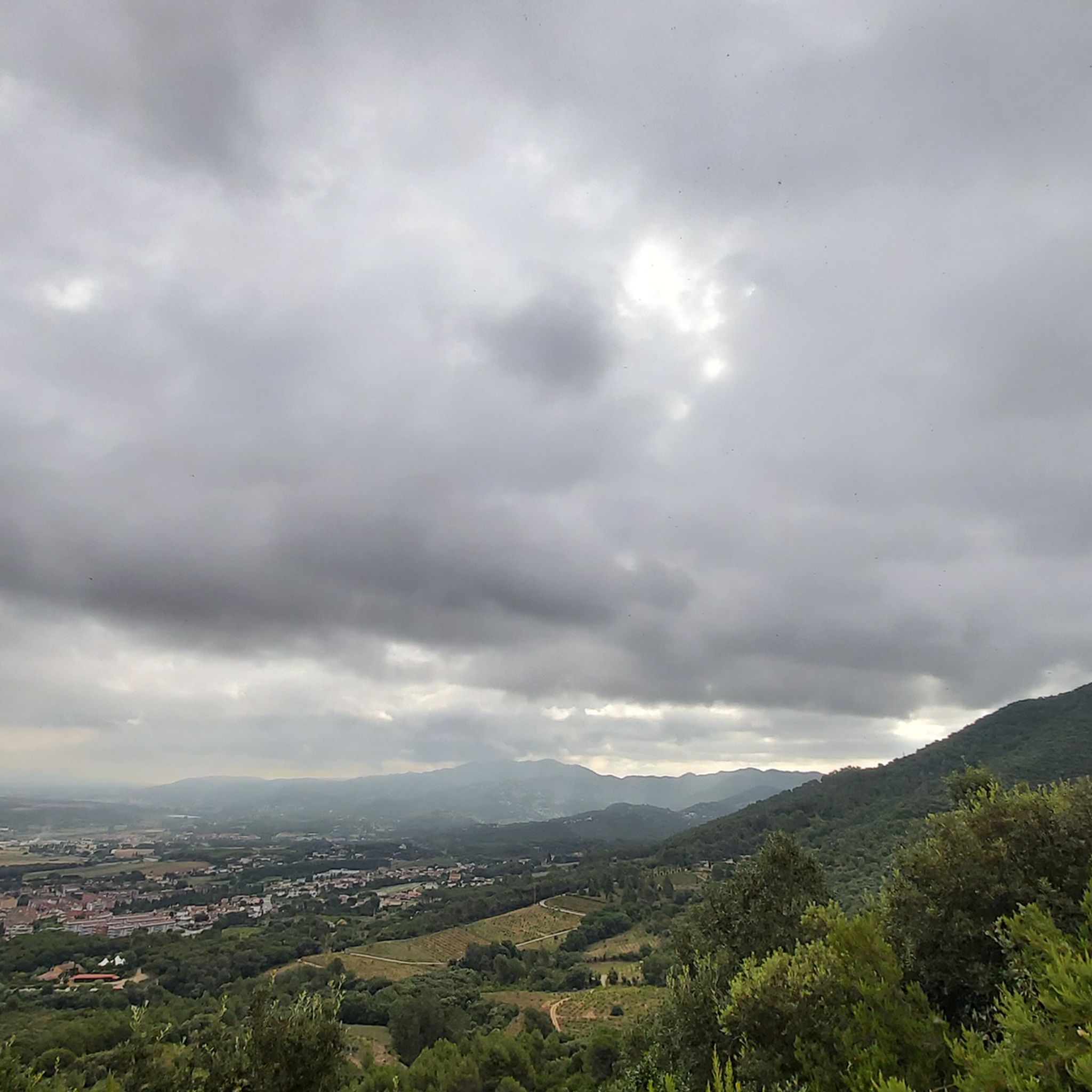
Yes, the hilly and mountainous terrain around Martorelles provides excellent opportunities for panoramic views. Ascents to passes like Parpers Pass or the nearby Coscollada, the highest hill in Badalona, can offer expansive vistas stretching to the Pyrenees, Montseny, Montserrat, and even the sea and the plain of Barcelona on clear days.
Most popular routes around Martorelles
Most popular attractions around Martorelles

Get inspired with the komoot mobile app


Explore more
Browse the best Road cycling routes in other regions.
