The best walks and hikes around Valverde De Los Arroyos
4.7
(161)
1,474
hikers
57
hikes
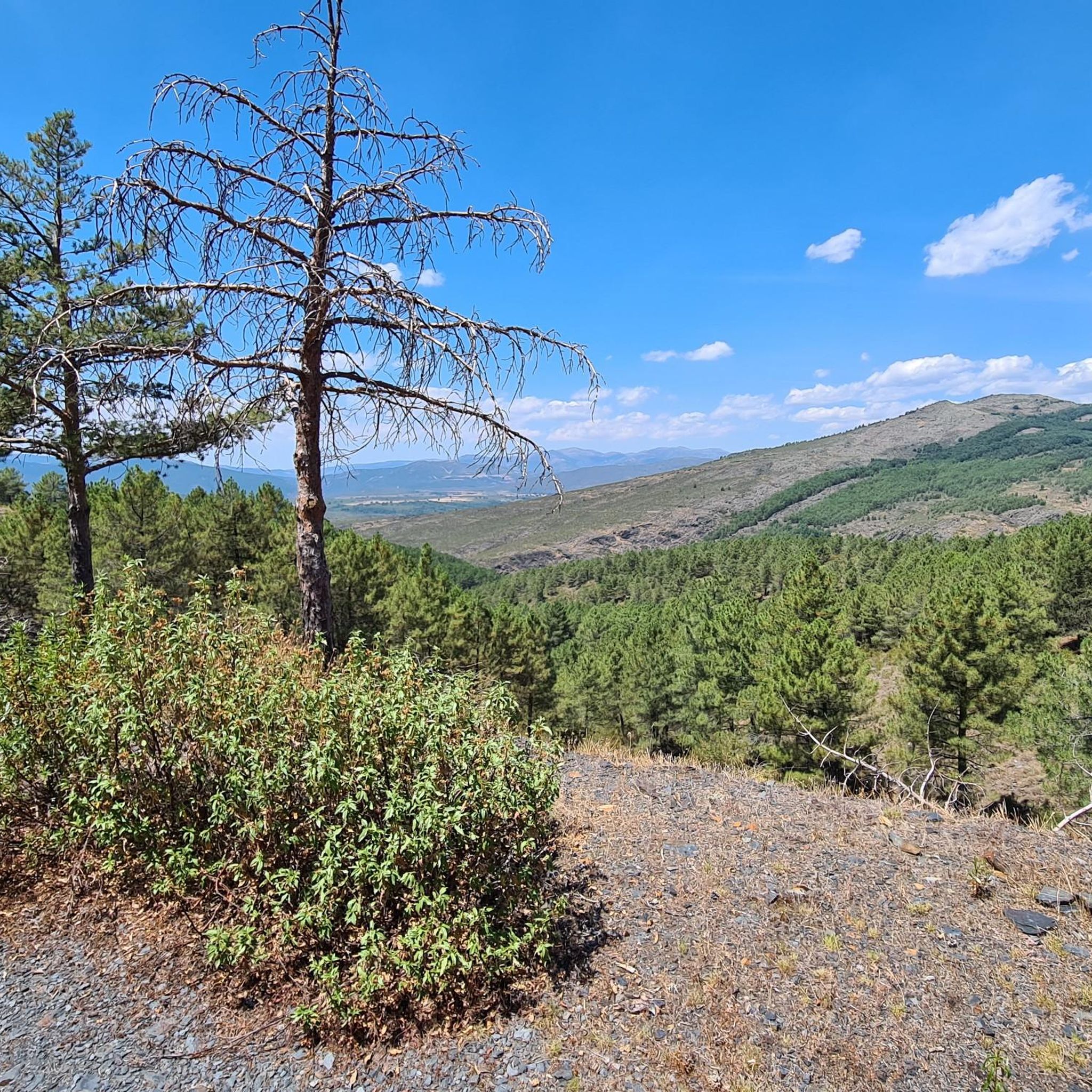
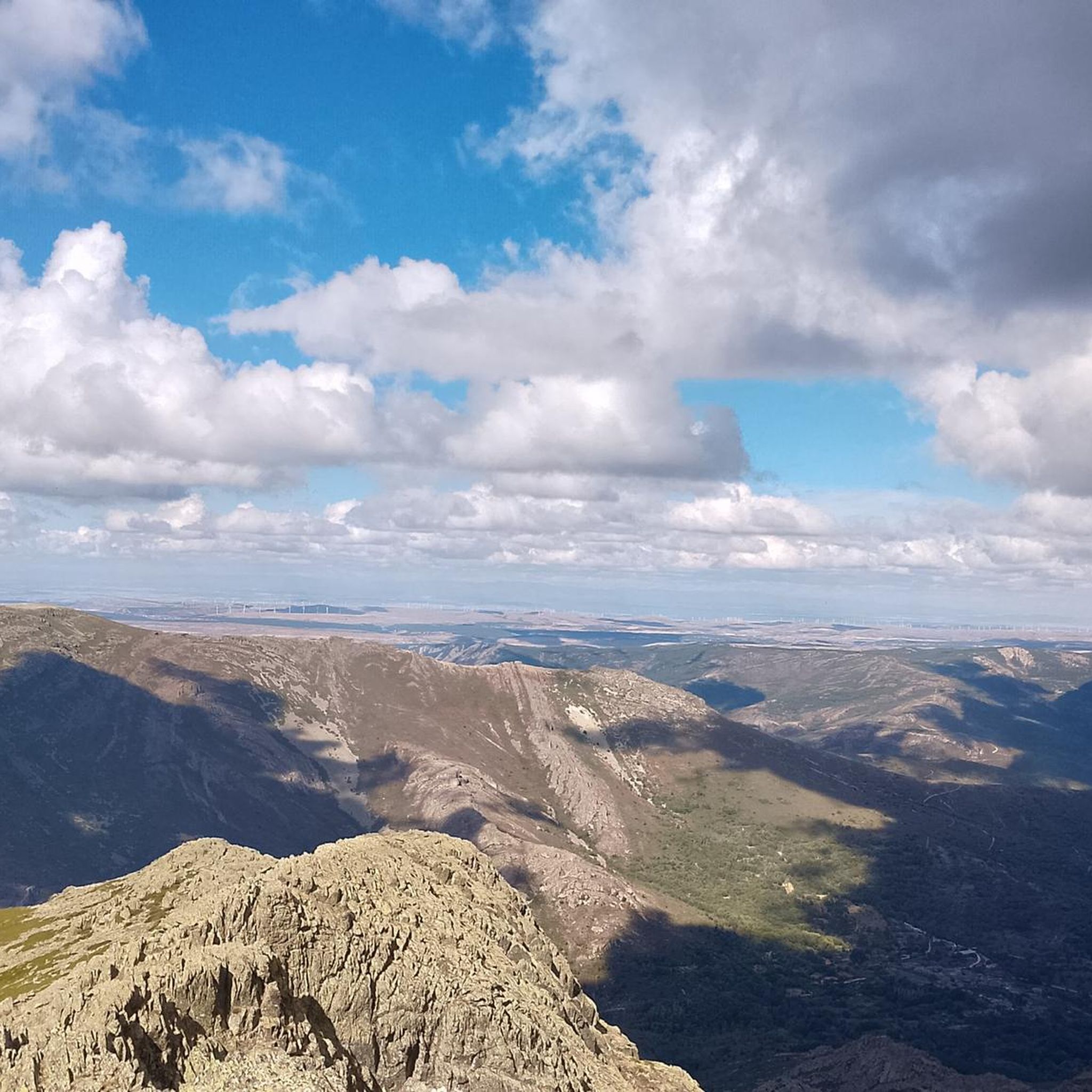
Hiking around Valverde De Los Arroyos offers exploration of the Sierra Norte of Guadalajara, characterized by diverse landscapes. The region features prominent natural landmarks such as Pico Ocejón, which rises to 2,048 meters, and the multi-tiered Chorreras de Despeñalagua waterfall. The area is crisscrossed by clear streams and rivers like the Sorbe and Sonsaz, flowing through rich deciduous forests and wildflower meadows. Hikers can expect varied terrain, from challenging mountain ascents to serene river valleys and impressive rock formations.
Best…
Last updated: October 12, 2026
4.3
(4)
47
hikers
Hard hike. Very good fitness required. Mostly accessible paths. Sure-footedness required.
4.8
(6)
45
hikers
20.1km
08:29
1,130m
1,130m
Hard hike. Very good fitness required. Mostly accessible paths. Sure-footedness required.

4.8
(4)
12
hikers
Hard hike. Very good fitness required. Mostly accessible paths. Sure-footedness required.
11
hikers
21.3km
08:37
1,130m
1,130m
Hard hike. Very good fitness required. Mostly accessible paths. Sure-footedness required.
8
hikers
Hard hike. Very good fitness required. Mostly accessible paths. Sure-footedness required.
Get access to more routes and recommendations from other explorers.
Already have an account?
Our route recommendations are based on thousands of hikes, rides, and runs completed by other people on komoot.
Start today with a free account
Your next adventure awaits.

Other adventures around Valverde De Los Arroyos

Tips from the Community

The path from Valverde to Majaelrayo has several spots from which there are beautiful views of La Chorrera de Despañalagua.
0
0

From Valverde, you can enjoy stunning views of Ocejón Peak, especially from the hiking trails that depart from the town.
4
0
The climb to Pico Ocejón via the eastern slope is a popular route that begins in Valverde de los Arroyos. This route is known for its spectacular scenery and the opportunity to enjoy nature at its best.
4
0
The most popular route to ascend Pico Ocejón begins in Valverde de los Arroyos and is known for its scenic beauty and moderate difficulty. The hike is approximately 14.74 km and typically takes around 6 hours with stops. Along the way, hikers can enjoy spectacular views and the rich biodiversity of the area.
6
0

Magnificent waterfalls. Worth a visit. Just 3 km from the village.
0
0
A spectacular waterfall just a short distance from the village of Valverde de los Arroyos. It is worth visiting.
0
0
The climb is hard, but it is worth it. Although we were not lucky enough to see all the scenery that should be seen from that height. The descent is almost harder than the ascent.
1
0
A picturesque village among the black villages of Guadalajara. The food is great and it is a good starting point for hiking and mountain biking excursions.
1
0
Frequently Asked Questions
How many hiking trails are available around Valverde De Los Arroyos?
There are over 45 hiking trails around Valverde De Los Arroyos. The majority of these routes are classified as moderate to difficult, offering varied challenges for hikers.
Are there any easy hiking trails suitable for beginners or families in Valverde De Los Arroyos?
While the region primarily features moderate to difficult trails, there are some shorter, less strenuous options. For instance, a path to the Despeñalagua Waterfall offers a relatively easy walk, though it's not suitable for strollers. Most routes involve significant elevation changes.
What kind of natural features and landmarks can I expect to see on hikes in this area?
The region is rich in natural beauty. You can expect to encounter the impressive Despeñalagua Waterfall, the towering Pico Ocejón, and the scenic Sorbe and Sonsaz river valleys. The landscape also features diverse deciduous forests, wildflower meadows, and unique rock formations like 'Los Surcos'.
Are there any circular hiking routes in Valverde De Los Arroyos?
Yes, many routes in the area are circular. A notable example is the challenging Pico Ocejon via the Chorrera Despeñalagua - circular from Valverde de los Arroyos, which offers panoramic views and includes the stunning waterfall.
What is the best time of year to go hiking in Valverde De Los Arroyos?
Valverde de los Arroyos offers distinct beauty throughout the year. Autumn is particularly stunning when the deciduous forests glow with vibrant orange and crimson hues. Winter transforms the landscape with snow-capped peaks and frozen waterfalls, while spring brings blooming wildflowers. The multi-tiered Despeñalagua Waterfall is most impressive after rains or during snowmelt.
Can I bring my dog on the hiking trails in Valverde De Los Arroyos?
Many trails in the natural surroundings of Valverde De Los Arroyos are suitable for dogs, but it's always advisable to keep them on a leash, especially in areas with wildlife or livestock. Be prepared for varied terrain and ensure your dog is fit for the chosen route.
What do other hikers enjoy most about hiking in Valverde De Los Arroyos?
The area is highly rated by the komoot community, with an average score of 4.7 stars from over 100 reviews. Hikers often praise the diverse landscapes, from challenging mountain peaks like Pico Ocejón to serene river valleys and the spectacular Despeñalagua Waterfall.
Are there any routes that lead to mountain summits or offer expansive views?
Absolutely. The region is dominated by Pico Ocejón, and routes like Arroyo de la Prahihuela – Ocejoncillo Summit loop from Valverde de los Arroyos provide challenging ascents to summits with expansive mountain scenery. The East ascent to Ocejón is another popular option for reaching high viewpoints.
What are the typical durations for hikes in Valverde De Los Arroyos?
Hike durations vary significantly depending on the route's difficulty and length. For example, the challenging Pico Ocejon via the Chorrera Despeñalagua route typically takes around 5 hours 8 minutes, while longer, more strenuous trails can extend to 7 hours or more.
Are there any other waterfalls besides Despeñalagua that I can visit?
Yes, in addition to the prominent Despeñalagua Waterfall, the area also features other beautiful cascades such as the Aljibe Waterfall and the Cañamar Waterfall, offering more opportunities to explore the region's aquatic features.
Is there parking available near the hiking trailheads in Valverde De Los Arroyos?
Valverde de los Arroyos, being a small village, typically has designated parking areas for visitors. It's advisable to arrive early, especially during peak seasons, to secure a spot, as some trailheads might have limited parking capacity.
What is the architectural style of Valverde de los Arroyos and how does it relate to the hiking experience?
Valverde de los Arroyos is one of the 'Pueblos Negros' (Black Architecture villages), known for its distinctive dark slate and quartzite buildings. This unique architectural style provides a striking contrast to the vibrant natural surroundings, making the village itself a captivating starting or ending point for your hikes and adding to the overall regional experience.
Most popular routes around Valverde De Los Arroyos
Most popular attractions around Valverde De Los Arroyos

Get inspired with the komoot mobile app


Explore more
Browse the best Hikes in other regions.
