The best walks and hikes around Cuevas Del Becerro
4.4
(93)
568
hikers
8
hikes
Hiking around Cuevas Del Becerro offers access to diverse natural landscapes within the province of Málaga. The village is situated as the northern entrance to "La Serranía de Ronda," characterized by mountainous terrain, river valleys, and fertile plains with olive groves. Natural springs and rocky formations are prominent features, providing varied environments for outdoor activities. The area is also close to the Sierra de las Nieves National Park, offering a rich natural setting.
Best hiking trails around Cuevas Del Becerro
- The most popular hiking route is Arriate and the Ventilla stream — circular from Los Prados, a 9.1 miles (14.7 km) trail that takes 4 hours 2 minutes to complete. This moderate route explores the area around the Ventilla stream.
- Another top favourite among local hikers is Las Carboneras Trail, a moderate 7.5 miles (12.0 km) path. This trail features varied terrain and offers views of the surrounding landscape.
- Local hikers also love the Cuevas del Becerro - Cañada Real Loop Trail, a 3.6 miles (5.8 km) trail leading through rural landscapes, often completed in about 1 hour 44 minutes.
- Hiking around Cuevas Del Becerro is defined by mountainous surroundings, river valleys, and olive groves. The network offers options for both easy and moderate ability levels.
- The routes in Cuevas Del Becerro are highly rated by the komoot community with an average score of 4.4 stars from more than 100 reviews. More than 600 hikers have used komoot to explore Cuevas Del Becerro's varied terrain.
Last updated: July 7, 2026
4.0
(2)
8
hikers
14.7km
04:02
230m
230m
Moderate hike. Good fitness required. Easily-accessible paths. Suitable for all skill levels.
4.5
(4)
17
hikers
5.82km
01:44
180m
180m
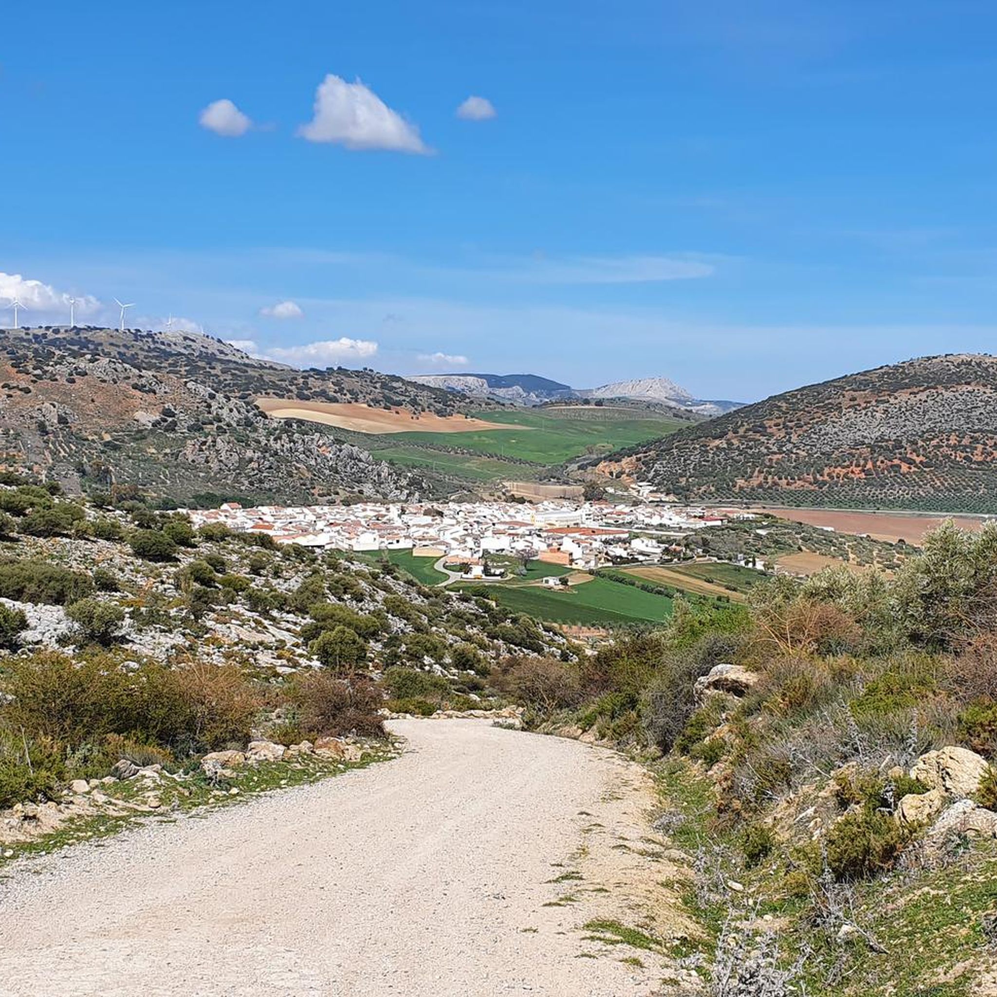
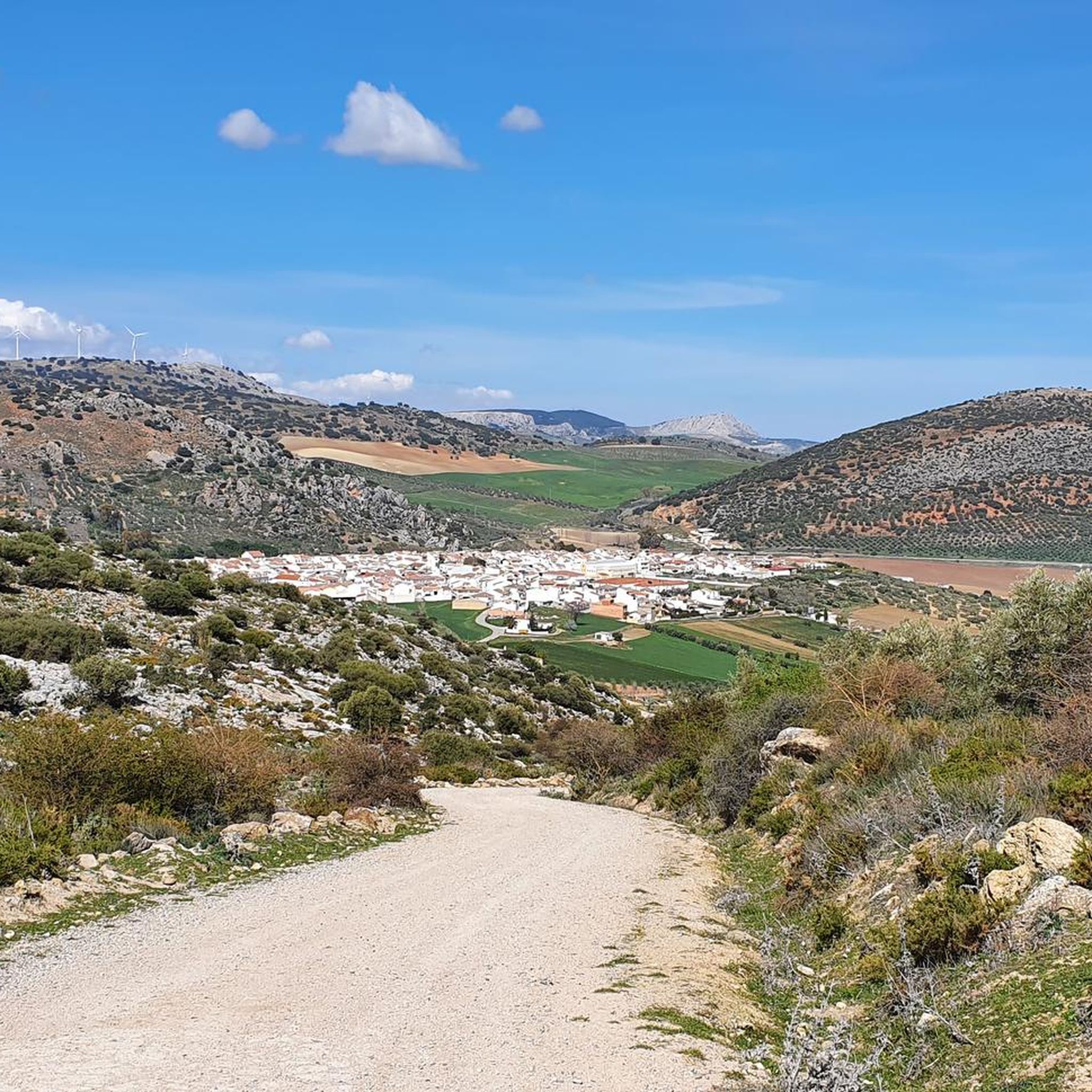
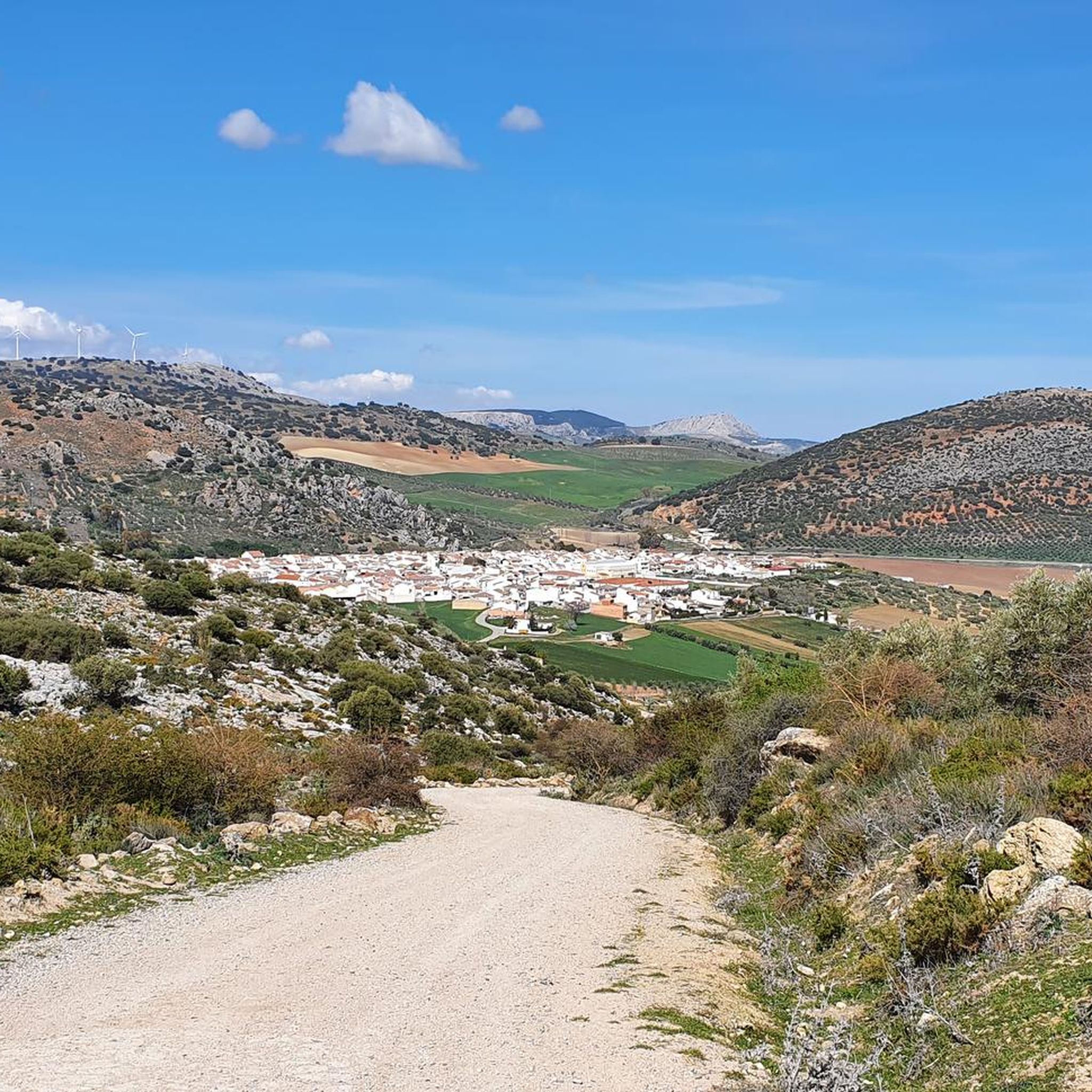
Hike the easy 3.6-mile Cuevas del Becerro - Cañada Real Loop Trail, enjoying scenic views of the white village and surrounding mountains.

Sign up for free
3.7
(3)
13
hikers
12.0km
03:29
310m
310m
Hike the moderate 7.5-mile Las Carboneras Trail, gaining 1008 feet over 3 hours and 28 minutes, starting from Cañete La Real.
5.0
(1)
1
hikers
5.68km
01:46
230m
220m
Hike the easy 3.5-mile Cerro Sábora Trail in Cañete La Real, gaining 740 feet with views of the town and Quicio del Moro Viewpoint.
4.5
(4)
10
hikers
Moderate hike. Good fitness required. Easily-accessible paths. Suitable for all skill levels.
Get access to more routes and recommendations from other explorers.
Sign up for free
Already have an account?
Our route recommendations are based on thousands of hikes, rides, and runs completed by other people on komoot.
Start today with a free account
Your next adventure awaits.
Login or Signup

Other adventures around Cuevas Del Becerro

Tips from the Community

The Church of San Sebastián in Cañete la Real (Málaga) is one of the town's most notable religious monuments, boasting a rich history and impressive architecture. Although its origins date back to the 16th century, the current church is the result of a major renovation carried out in the 18th century, specifically in 1770, according to a design by Diego Antonio Díaz.
1
0

Path was very difficult to walk because it was quite densely overgrown in some places. Sometimes unclear how to walk. They also left in Arritta. Then you first have a long stretch along the main road and at the end you have the most beautiful path.
1
2

Away from the well-known sights of Andalusia, the Puente de la Ventilla hides a silent testament to past times, which impresses above all with its location and simple architecture. The historic stone bridge spans a narrow, partly steeply cut gorge, through which the Arroyo de la Ventilla winds, and blends harmoniously into the surrounding landscape. Today, the bridge seems out of time and attracts above all tourists who are travelling off the beaten track.
5
0
The Puente de la Ventilla is a picturesque, historic stone bridge that elegantly spans the deep gorge of the Arroyo de la Ventilla near Arriate in the Andalusian province of Málaga. At approximately 25 meters high, it offers an imposing sight and is one of the region's lesser-known, yet impressive, structures. The bridge once served as a means of local transport between rural farms and the nearby village of Arriate. Its robust natural stone construction continues to withstand the forces of nature, lending it a rustic, authentic charm.
5
0
This is a very unpleasant walk. First from Arriate along a busy road and the part along the stream runs along the back of all kinds of neglected businesses with ugly fences. Of the stream itself there is almost nothing to see.
1
3

This stone bridge that crosses the Ventilla stream is well known among bungee jumping lovers, since they jump from here.
1
1
In the surroundings of this beautiful white church, of which its tower clearly stands out, you can find a life-size statue of a Nazarene, dedicated to Holy Week.
4
1
Once you reach this small wooden bridge you can decide whether to take the PR that goes from Ronda to Arriate or continue along the path that goes next to the stream.
1
2
Frequently Asked Questions
What kind of hiking trails can I expect in Cuevas Del Becerro?
Cuevas Del Becerro offers a diverse range of trails, characterized by mountainous surroundings like the Sierra de Vijan and Los Tercios Hill, river valleys, and fertile plains with olive groves. You'll find paths that wind through impressive gorges, along rivers, and up to viewpoints, catering to both easy and moderate ability levels.
How many hiking trails are available in the Cuevas Del Becerro area?
There are 8 hiking trails documented in the Cuevas Del Becerro area, offering a variety of experiences for different skill levels. These include 4 easy routes and 4 moderate routes.
Are there any easy or beginner-friendly hiking trails in Cuevas Del Becerro?
Yes, Cuevas Del Becerro has several easy trails suitable for beginners or those looking for a relaxed walk. An example is the Cuevas del Becerro - Cañada Real Loop Trail, which is 5.8 km long and takes about 1 hour 44 minutes. The Cerro Sábora Trail is another easy option, offering a pleasant 5.7 km walk.
Are there any circular hiking routes in Cuevas Del Becerro?
Yes, you can find several circular routes. The Arriate and the Ventilla stream — circular from Los Prados is a popular moderate option, covering 14.7 km. For an easier circular walk, consider the Cuevas del Becerro - Cañada Real Loop Trail, which is 5.8 km.
What natural attractions or landmarks can I see while hiking in Cuevas Del Becerro?
The region is rich in natural beauty. You can explore the **Fuente del Nacimiento**, the source of the Cuevas River, which offers a beautiful water display. The **Ruta de las Fuentes** highlights various springs and even a waterfall called "El Cao." Hikers can also experience impressive gorges like the **Tajo de la Solana** and dramatic rock formations such as the **Tajo de las Palomas**, known for nesting birds. For panoramic views, consider trails leading to viewpoints like the Forest Ranger's Viewpoint or those offering a View of the Sierra de las Nieves National Park.
Is Cuevas Del Becerro a good destination for family-friendly hikes?
Yes, the area offers several family-friendly options, particularly the easier routes. The **Ruta de las Fuentes** is an easy circular walk (4.3 km) within the village perimeter, focusing on water sources, making it enjoyable for families. The Cuevas del Becerro - Cañada Real Loop Trail is another accessible option for families.
What is the best time of year to go hiking in Cuevas Del Becerro?
The spring and autumn months are generally ideal for hiking in Cuevas Del Becerro. Spring brings lush vegetation and blooming almond trees, while autumn offers pleasant temperatures and vibrant colors along riverside paths like the **Paseo del Tilín**. Summers can be hot, so early mornings or late afternoons are recommended if hiking during that season. Winters are mild, making it possible to hike year-round, though some paths might be muddy after rain.
What do other hikers enjoy most about the trails in Cuevas Del Becerro?
The trails in Cuevas Del Becerro are highly rated by the komoot community, with an average score of 4.4 stars from over 100 reviews. Hikers often praise the varied terrain, the tranquil natural environment, and the picturesque contrasts of rocky landscapes with fertile valleys. The presence of natural springs and river features is also frequently highlighted as a positive aspect.
Are there any trails that feature water elements like rivers or waterfalls?
Absolutely. Water plays a central role in the natural charm of Cuevas Del Becerro. The **Ruta de las Fuentes** is specifically designed to showcase various fountains, springs, and even a waterfall called "El Cao." The **Río Guadalteba Trail** is another easy route that follows the river and leads to natural swimming areas, while the **Fuente del Nacimiento** marks the origin of the Cuevas River.
Is parking available near the hiking trailheads in Cuevas Del Becerro?
While specific parking areas for each trailhead are not detailed, Cuevas Del Becerro is a village with amenities. Generally, parking can be found within or on the outskirts of the village, providing access to the various routes. It's advisable to check local signage upon arrival for the most convenient parking spots.
What kind of wildlife might I encounter on the trails?
The diverse landscapes of Cuevas Del Becerro support a variety of wildlife. Along river areas, you might spot various bird species. The dramatic rock formations like the **Tajo de las Palomas** serve as nesting grounds for birds of prey, including Bonelli's eagles. There are also opportunities to observe mountain goats in the more rugged terrain.
Most popular attractions around Cuevas Del Becerro

Get inspired with the komoot mobile app


Explore more
Browse the best Hikes in other regions.
