The best walks and hikes around El Frasno
4.4
(41)
198
hikers
26
hikes
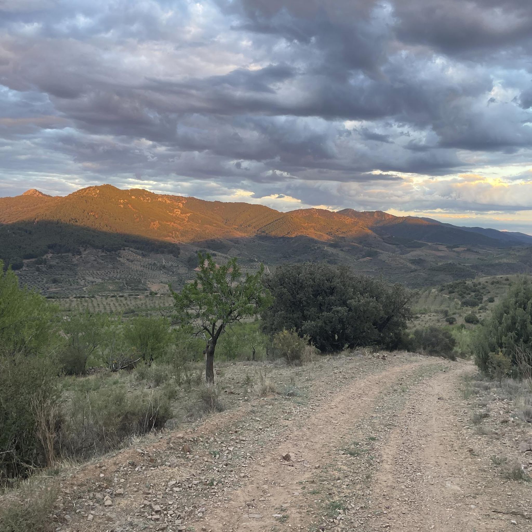
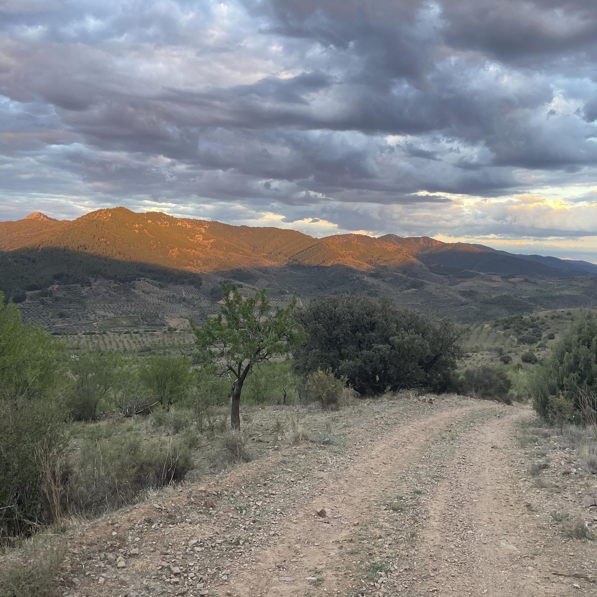
Hiking around El Frasno offers diverse landscapes within the Zaragoza Iberian System, characterized by high-altitude summits and prominent peaks. The Sierra de Vicor forms a central feature, with Pico del Rayo being a significant summit at 1,427 meters (4,682 feet). The region features varied forests, including pines, holm oaks, and cork oaks, alongside olive and almond groves. This environment provides a range of hiking opportunities across different terrains.
Best hiking trails around El Frasno
- The most popular hiking route is…
Last updated: October 10, 2026
5.0
(3)
23
hikers
10.3km
03:52
700m
700m
Moderate hike. Good fitness required. Easily-accessible paths. Suitable for all skill levels.
4.7
(11)
16
hikers
7.07km
01:57
120m
110m
Easy hike. Great for any fitness level. Easily-accessible paths. Suitable for all skill levels.

5
hikers
19.9km
06:20
830m
830m
Hard hike. Very good fitness required. Easily-accessible paths. Suitable for all skill levels.
5.0
(2)
14
hikers
13.4km
04:13
500m
500m
Moderate hike. Good fitness required. Easily-accessible paths. Suitable for all skill levels.
4.0
(2)
10
hikers
Moderate hike. Good fitness required. Easily-accessible paths. Suitable for all skill levels.
Get access to more routes and recommendations from other explorers.
Already have an account?
Our route recommendations are based on thousands of hikes, rides, and runs completed by other people on komoot.
Start today with a free account
Your next adventure awaits.

Tips from the Community

The walk also includes a walk through a train tunnel. The experience is all the better if you like trains and one of them comes by while you are at the entrance or in the tunnel itself.
1
0
This place is a feeding ground for vultures. From a distance, it is possible to see a large number of vultures gathering there to feed. The sight is spectacular. The smell (i.e., the stench), too.
1
0

There is also a fountain, but we found it without water. We had to continue down to the village.
0
0
Be careful with the fountain, when we passed by there wasn't even a drop coming out. So it's better not to depend on this point to refill water, as happened to us.
0
1

It is the highest point for many kilometers in the surrounding area (next to Pico de la Nevera, which cannot be accessed because it is a military installation). In summer there are fire surveillance personnel because it is a place with impressive views.
0
0

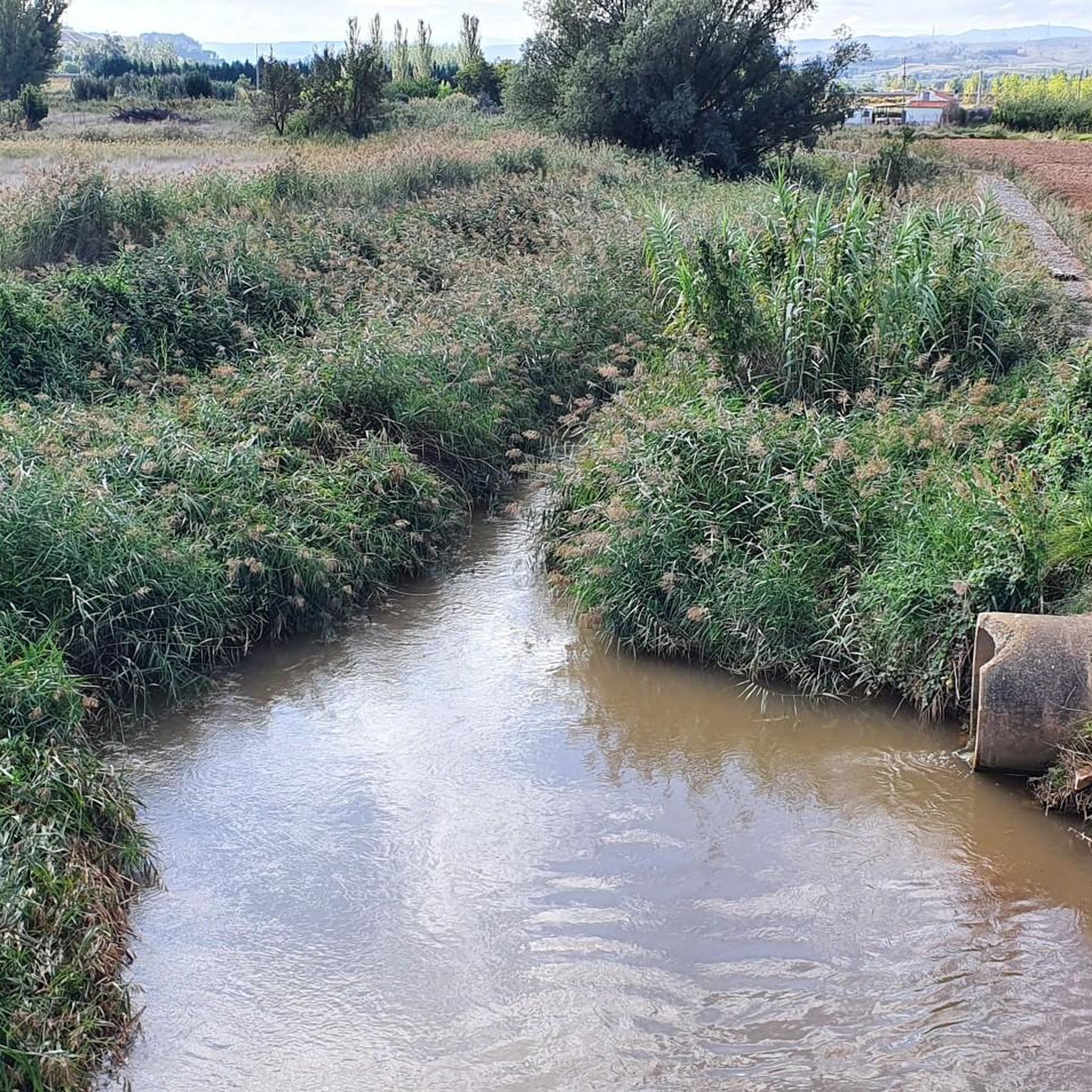
The Capurnos Bridge was built in the 17th century in order to join the towns of Morata de Jalón and Chodes by crossing the waters of the Jalón River.
1
0

From this point we have a beautiful picture of the imposing Castle of Mesones de Isuela controlling the town from the top of the rocky hill. Guided tours inside the castle can be booked at the tourist office of the Aranda region
1
0
Or refuge of Inogés, it is a free refuge in quite good conditions. We must take them into account in case we had to take shelter there from a good storm
1
0
Frequently Asked Questions
How many hiking trails are available in El Frasno?
El Frasno offers a diverse network of over 20 hiking trails, ranging from easy strolls to challenging mountain ascents. These routes explore the varied landscapes of the Sierra de Vicor and the surrounding Iberian System.
Are there easy hiking trails suitable for beginners or families?
Yes, El Frasno has several easy trails perfect for beginners or families. For instance, the Meandro de Chodes y Morata de Jalón — circular by the Jalón river is an easy 7.1 km path that follows the Jalón river with minimal elevation changes, making it very accessible.
What are some challenging hikes for experienced trekkers?
For experienced hikers seeking a challenge, routes like the Pico del Rayo - Sierra de Vicor Loop offer a demanding 19.9 km trek with significant elevation gain through the Sierra de Vicor. Another difficult option is the Refugio de Inogés – Pico del Rayo loop, covering 17.4 km with over 630 meters of ascent.
What kind of natural features can I expect to see while hiking?
The region is rich in natural beauty, featuring diverse forests of pines, holm oaks, and cork oaks. You'll also encounter olive and almond groves. In spring, the sight of thousands of cherry trees in bloom creates a stunning landscape. The area is also a Special Protection Area for birds, making it ideal for nature observation.
Are there any circular hiking routes in El Frasno?
Yes, there are several circular routes. The Meandro de Chodes y Morata de Jalón — circular by the Jalón river is an easy circular option. For a more challenging loop, consider the Pico del Rayo - Sierra de Vicor Loop or the Refugio de Inogés – Pico del Rayo loop.
What are some notable landmarks or viewpoints along the trails?
Hikers can discover several interesting landmarks and viewpoints. The Pico del Rayo itself offers panoramic views. You might also encounter the historic Capurnos Bridge or the Pico del Cerro del Águila, which provides extensive vistas. The Collado de la Luz is another significant mountain pass.
Can I bring my dog on the hiking trails in El Frasno?
While many trails in natural areas are generally dog-friendly, it's always recommended to keep dogs on a leash, especially in areas with livestock or protected wildlife. Be sure to carry enough water for your pet, as natural water sources might be scarce depending on the season.
What is the best time of year to go hiking in El Frasno?
Spring and autumn are generally the best seasons for hiking in El Frasno. Spring offers pleasant temperatures and the beautiful sight of cherry trees in bloom, while autumn brings cooler weather and the opportunity for mushroom foraging after rains. Summers can be hot, and winters may present snow at higher elevations like Pico del Rayo.
Are there any historical sites to explore near the hiking routes?
Yes, the region has historical points of interest. The Calatayud area is nearby, and within El Frasno, you can find the remains of a defensive watchtower on a hill. The town itself features a Renaissance fountain and a Baroque church tower. The Plaza de España and Church of Santa Ana in Morata de Jalón are also notable.
What do other hikers enjoy most about hiking in El Frasno?
The hiking routes in El Frasno are highly rated by the komoot community, with an average score of 4.75 stars from over 20 reviews. Hikers often praise the diverse terrain, from river paths to challenging mountain ascents, and the stunning panoramic views from peaks like Pico del Rayo.
Are there any moderate trails for those looking for a balanced challenge?
Absolutely. Many of El Frasno's trails fall into the moderate category, offering a good balance of distance and elevation without being overly strenuous. An example is the Ascent to Pico del Rayo Trail, a 10.3 km route with a 700m elevation gain, typically completed in under 4 hours.
Is there public transport or parking available near trailheads?
While specific public transport details for individual trailheads are limited, El Frasno is accessible by road. It is generally advisable to plan for parking at or near the start of your chosen route. Many rural trailheads in Spain typically have informal parking areas, but it's always good to check local information or maps for specific parking facilities before you go.
Most popular attractions around El Frasno

Get inspired with the komoot mobile app


Explore more
Browse the best Hikes in other regions.
