The best walks and hikes around Burguillos
4.2
(89)
388
hikers
41
hikes
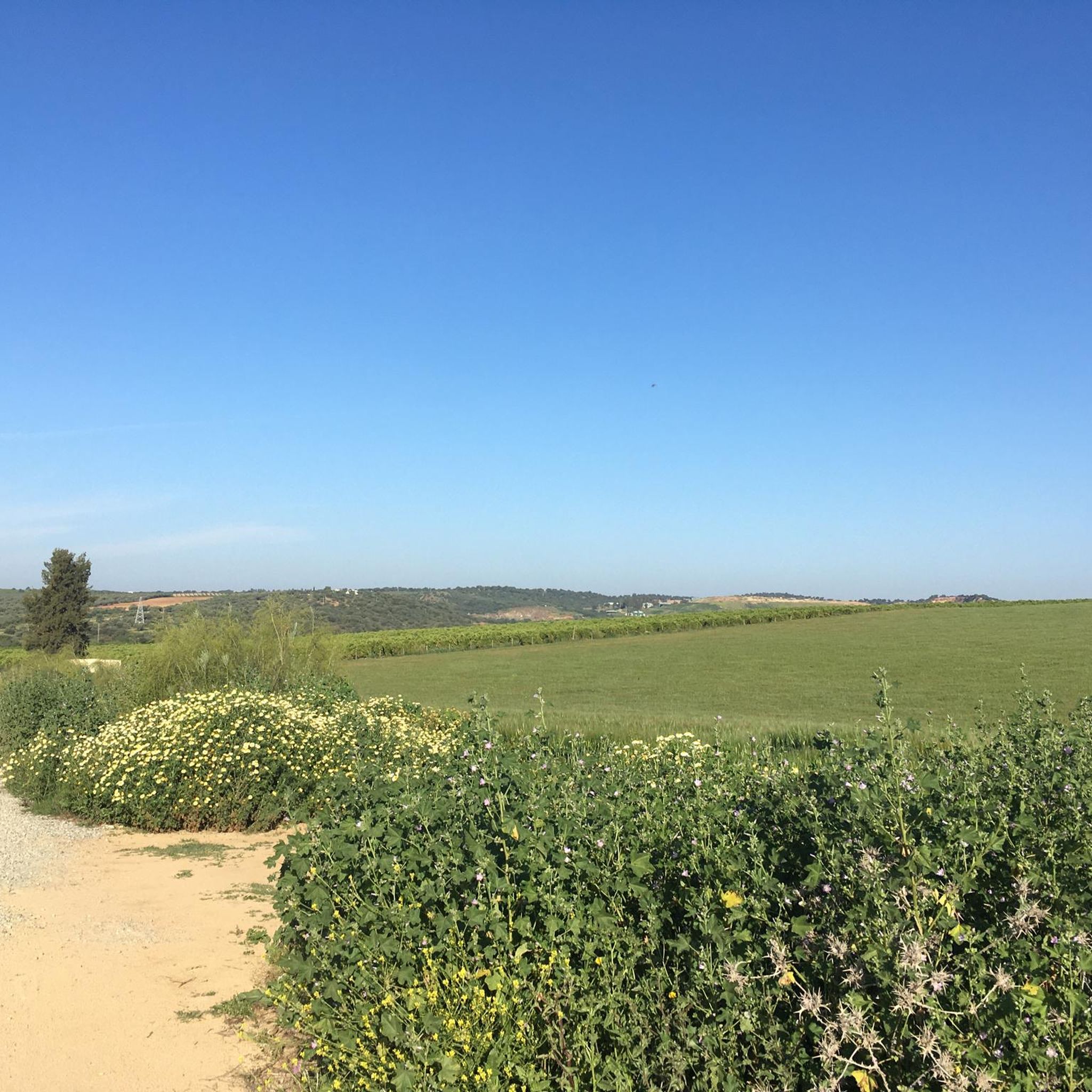
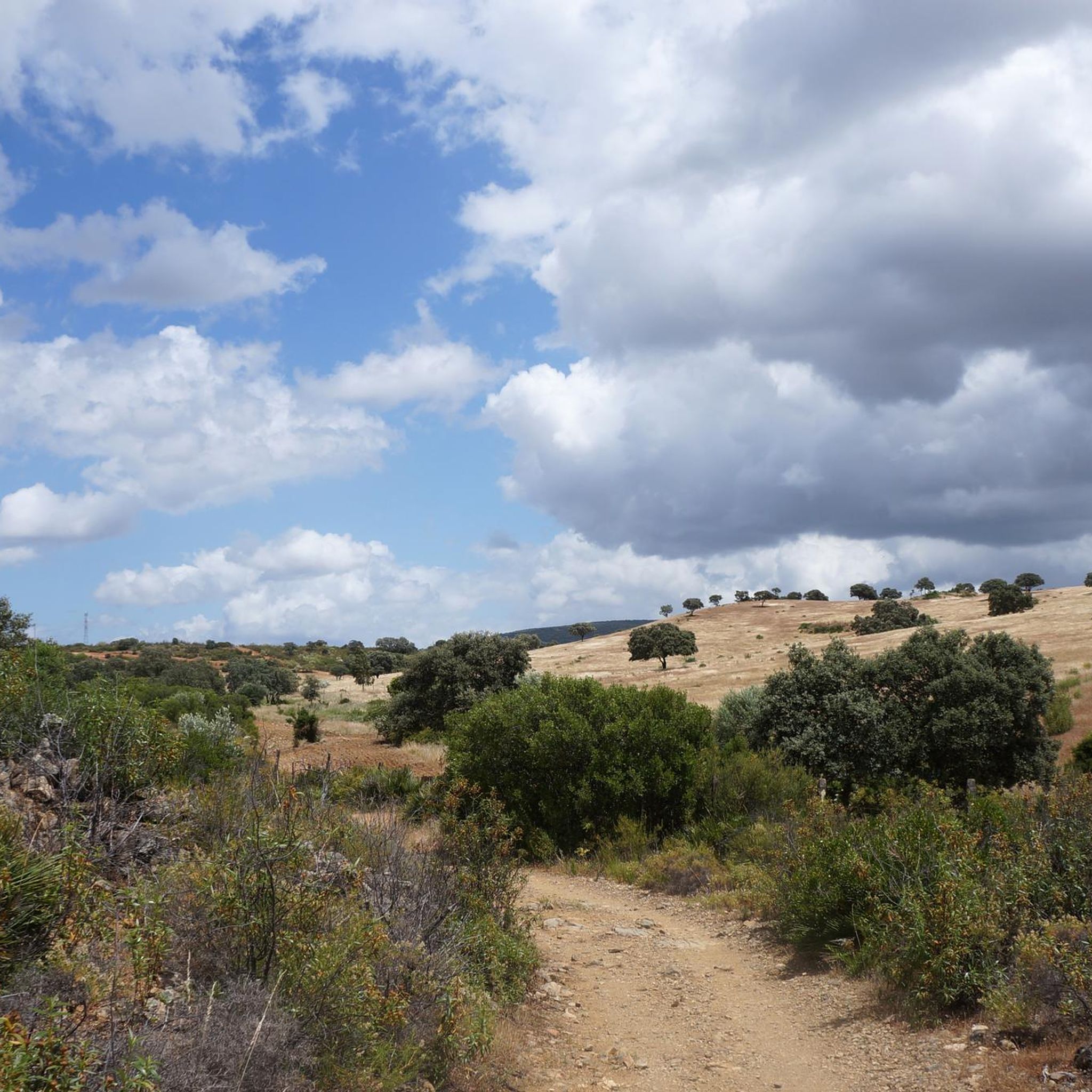
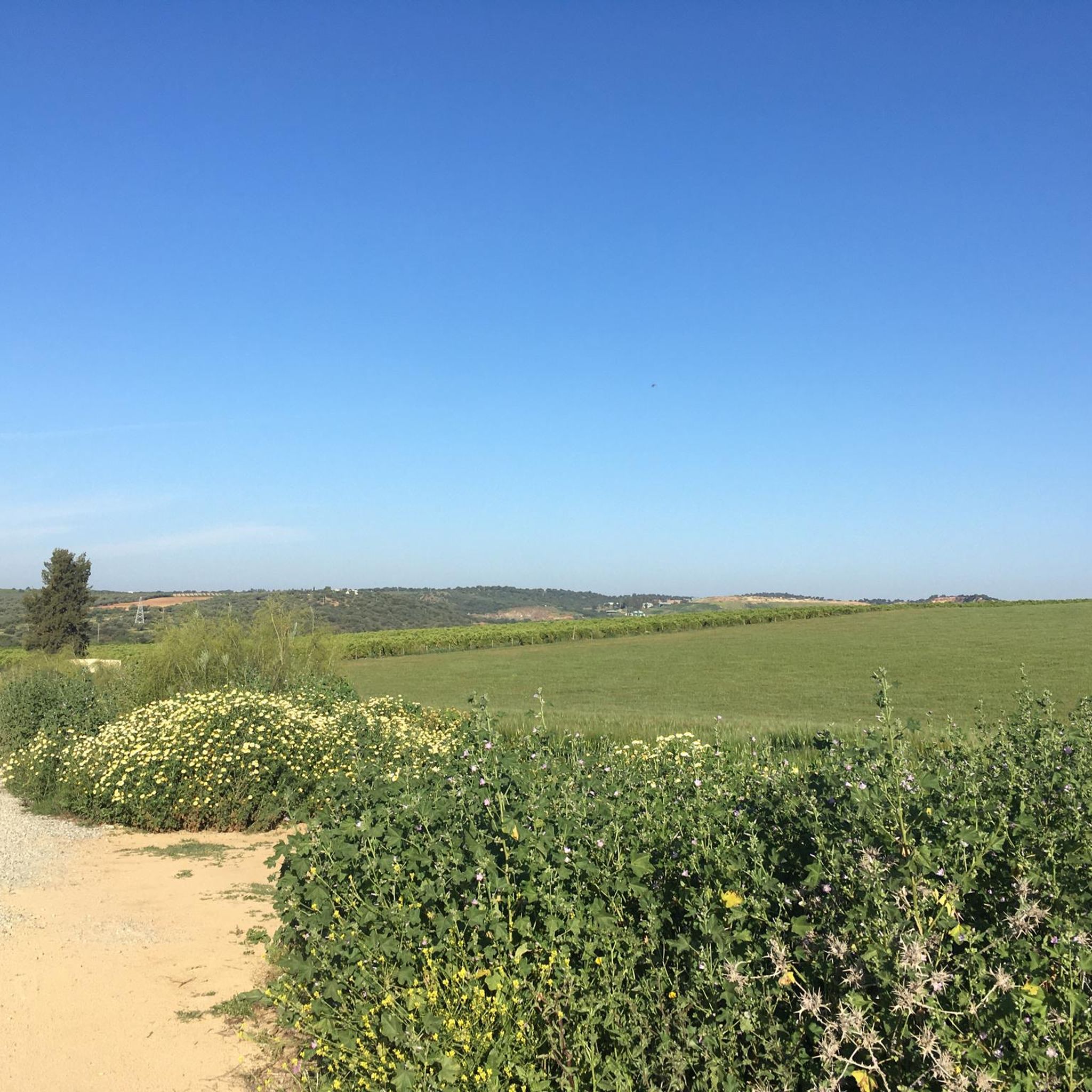
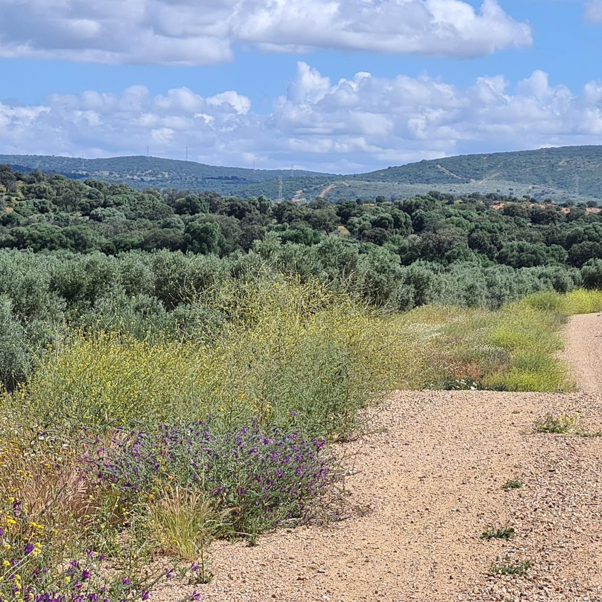
Hiking around Burguillos offers diverse landscapes, characterized by agricultural fields of orange, sunflower, and peach trees alongside native holm oaks and cork oaks. The region is situated at the gateway to the Sierra Norte de Sevilla, providing access to wild and mountainous environments. Riverine paths along the Rivera de Huelva are prominent, offering scenic views and historical elements. The area includes natural spots like "La Madroña" and periurban parks with pine forests, making it suitable for easy hikes Burguillos.
Best…
Last updated: October 8, 2026
4.7
(15)
55
hikers
13.8km
03:48
220m
220m
The Ruta del Agua de Guillena immerses you in a unique riverine and forest landscape, following the course of the Huelva and Cala rivers. It's a sensory experience rich in…
4.0
(2)
35
hikers
12.5km
03:22
150m
150m
Moderate hike. Good fitness required. Easily-accessible paths. Suitable for all skill levels.

5.0
(2)
13
hikers
7.78km
02:08
130m
130m
Moderate hike. Good fitness required. Easily-accessible paths. Suitable for all skill levels.
5.0
(1)
6
hikers
Easy hike. Great for any fitness level. Easily-accessible paths. Suitable for all skill levels.
4.0
(2)
26
hikers
Hard hike. Very good fitness required. Easily-accessible paths. Suitable for all skill levels.
Get access to more routes and recommendations from other explorers.
Already have an account?
Our route recommendations are based on thousands of hikes, rides, and runs completed by other people on komoot.
Start today with a free account
Your next adventure awaits.
Tips from the Community

The Solana Recio viewpoint overlooks the Gergal reservoir and the Huelva river valley, in the heart of the Sierra Norte de Sevilla, near the route of the greenway along this section. Climb up to calmly contemplate the views: it's one of the best spots to get an idea of the reservoir's real size before continuing on your way.
0
0

Reservoir that is close to the town of Guillena and that occupies a large area of land. In the western area of the dam, it offers green areas where you can reach the water with peace of mind.
0
0
Dam that forms the boundary with the Embalse de Gregal and from where you can see the lower part of the dam. The footbridge allows you to pass from one side of the stream and offers a good place to rest close to the Rivera de Huelva.
1
0
Dirt road that offers beautiful views of the Rivera de Huelva in one of the meanders that the river offers through the valley!
1
0
One of the areas of the path where you can see the waters of the Gergal Reservoir. There are plenty of oak forests and low bushes, especially beautiful in spring when everything is very green!
2
0
Bridge that is on one of the sections of the Camino del agua and that avoids one of the torrents that appear in the mountains around the dam.
1
0
Space that is located on the banks of the reservoir. A quiet area, with trees and with water from the dam nearby. A good area to spend a pleasant time!
1
0

The Water Route is super fun with impressive views in almost the entire route through the Gergal reservoir.
2
0
Frequently Asked Questions
How many hiking trails are available around Burguillos?
There are over 30 hiking trails around Burguillos, offering a variety of experiences. These routes are highly rated by the komoot community, with an average score of 4.2 stars from over 60 reviews.
What kind of hiking difficulty can I expect in Burguillos?
Burguillos offers a diverse range of hiking difficulties. You'll find plenty of options for all levels, including 16 easy trails, 12 moderate routes, and 2 more challenging hikes. The terrain varies from gentle riverine paths to more wild and mountainous sections near the Sierra Norte de Sevilla.
Are there family-friendly hiking options in Burguillos?
Yes, Burguillos is well-suited for family outings. Many of the 16 easy trails are ideal for families, such as The Pines — Gergal Reservoir loop from Parque periurbano El Gergal, which offers tranquil views and a gentle gradient. The periurban parks with pine forests also provide pleasant, accessible walks.
Can I bring my dog on the hiking trails in Burguillos?
Many natural areas and trails in Burguillos are generally dog-friendly, especially those away from protected wildlife zones or private land. It's always recommended to keep your dog on a leash, especially in areas with livestock or other hikers, and to clean up after them. Always check local signage for specific restrictions.
What are the best times of year to hike in Burguillos?
The best times to hike in Burguillos are typically spring (March to May) and autumn (September to November). During these seasons, the weather is milder and more pleasant for outdoor activities. Summers can be very hot, especially in Andalusia, while winters are generally mild but can be damp.
Are there any circular hiking routes in Burguillos?
Yes, Burguillos offers several circular routes. A popular choice is The Pines — Gergal Reservoir loop from Parque periurbano El Gergal, an easy 3.7-mile path. Another option is the more challenging Gergal Reservoir Viewpoint – Waterway Path Bridge loop from Padre Benítez, which provides varied terrain and reservoir views.
What kind of landscapes will I see while hiking around Burguillos?
Hiking around Burguillos offers a mix of landscapes. You'll encounter agricultural fields of orange, sunflower, and peach trees, alongside native Mediterranean flora like holm oaks and cork oaks. Riverine paths along the Rivera de Huelva are prominent, and the area's proximity to the Sierra Norte de Sevilla provides access to more wild and mountainous environments.
Are there any interesting landmarks or natural features to see along the trails?
Yes, the area around Burguillos features several points of interest. You can explore the scenic Gergal Reservoir, walk along the Rivera de Huelva, or cross the Waterway Path Bridge. The "La Madroña" Natural Area, with its dehesa woodland, is also a notable spot.
Are there places to eat or drink near the hiking trails?
Yes, you can find places to eat and drink. For example, La Cantina is a pub that might be convenient depending on your chosen route. The town of Burguillos itself, and nearby villages, offer various cafes and pubs where you can refuel after your hike.
What are the parking options for hikers in Burguillos?
Parking is generally available in and around Burguillos, especially near trailheads or in the towns. For routes starting from specific parks or recreational areas, designated parking lots are often provided. It's advisable to check the starting point of your chosen route for the most convenient parking.
Can I reach hiking trails in Burguillos using public transport?
While some areas might be accessible by local bus services connecting Burguillos with larger towns, direct public transport to specific remote trailheads can be limited. It's best to research local bus routes from Seville or other nearby cities to Burguillos, and then plan your hike from accessible points within the town or a short taxi ride away.
What do other hikers enjoy most about hiking in Burguillos?
The area is highly rated by the komoot community, with an average score of 4.2 stars. Hikers often praise the tranquil natural settings, the variety of landscapes from agricultural fields to riverine paths, and the accessibility of routes suitable for different fitness levels. The blend of natural beauty and cultural elements, like the traditional pilgrimage site at Ermita de la Virgen del Rosario Coronada, also adds to the experience.
Are there any long-distance paths or historical routes in the area?
Yes, the region is close to historical routes. For instance, the Camino de Santiago – Vía de la Plata loop from Castilblanco de los Arroyos is a moderate 5.5-mile trail that follows a section of the historic Camino de Santiago, offering a glimpse into Spain's rich heritage.
Most popular routes around Burguillos
Most popular attractions around Burguillos

Get inspired with the komoot mobile app


Explore more
Browse the best Hikes in other regions.
