PR Prameniště Chomutovky
PR Prameniště Chomutovky
The best road cycling routes around PR Prameniště Chomutovky
4.6
(254)
1,776
riders
45
rides
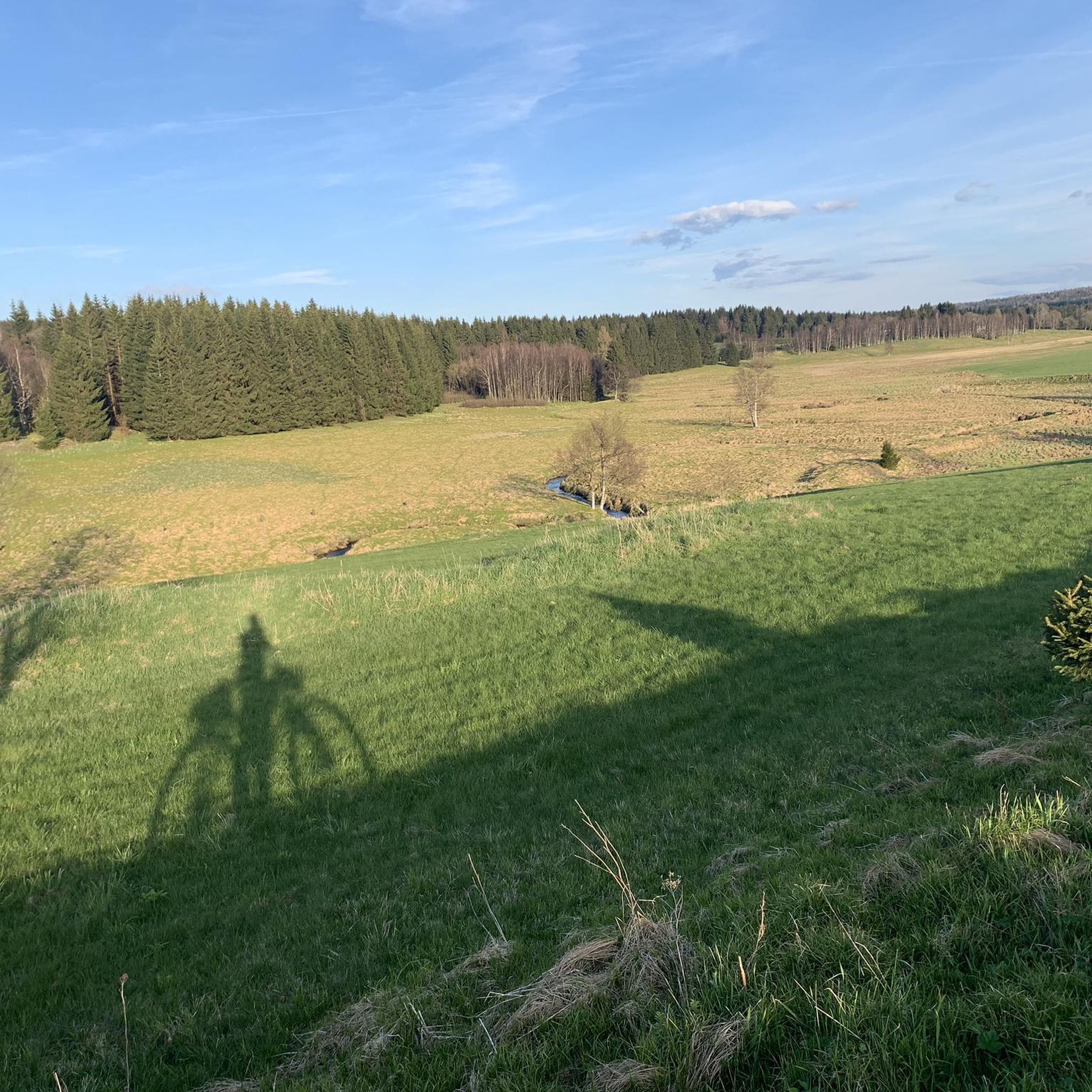
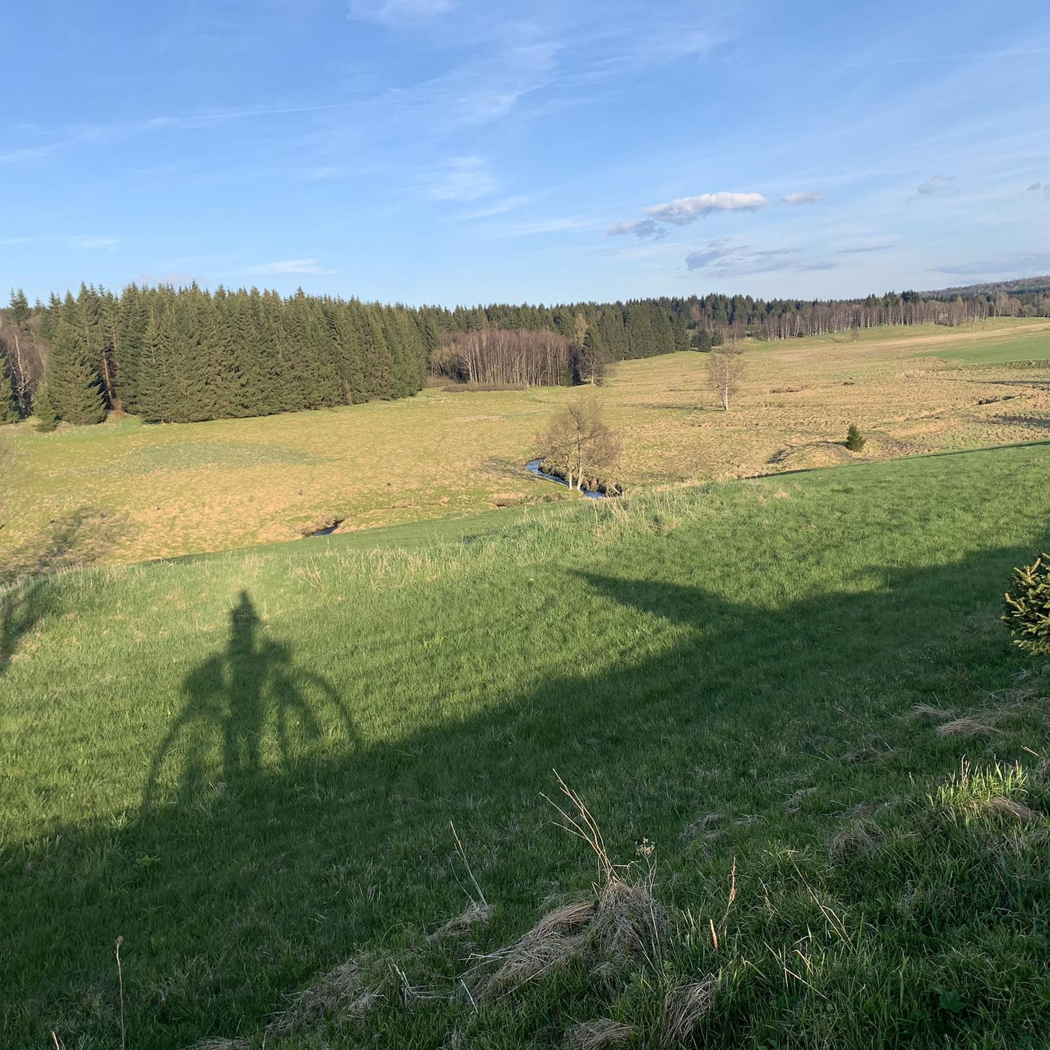
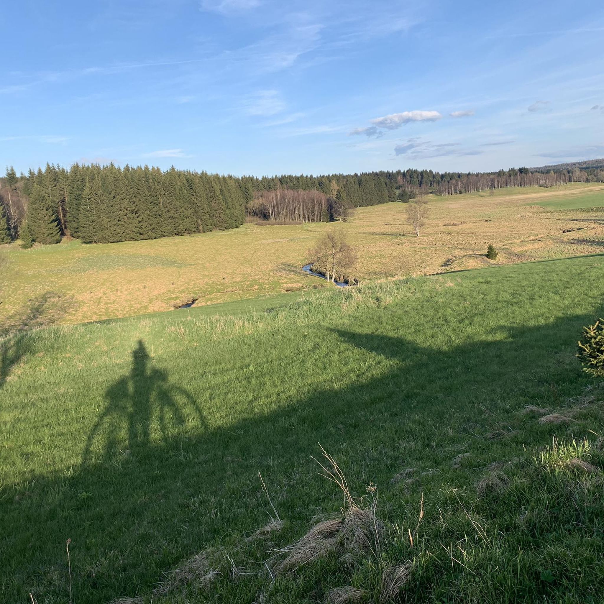
Road cycling around PR Prameniště Chomutovky offers routes through the broader Chomutov region, which is characterized by the mountainous terrain of the Ore Mountains. While the core nature reserve features unique peat bogs and wetlands unsuitable for road cycling, the surrounding area provides asphalt roads connecting villages. These routes often traverse forested areas and mountain meadows, providing varied elevation profiles.
Best road cycling routes around PR Prameniště Chomutovky
- The most popular road cycling route is S216 Natzschungtal Road – Saigerhütte Olbernhau loop from Kühnhaide, a 20.5 miles (33.0 km) trail that takes 1 hour 35 minutes to complete. This moderate route features a significant elevation gain of 1,570 feet (479 meters).
- Another top favourite among local road cyclists is Bergschänke Rübenau – S216 Natzschungtal Road loop from Rübenau, a moderate 18.3 miles (29.4 km) path. This route offers views of the mountainous landscape and can be completed in about 1 hour 25 minutes.
- Local road cyclists also love the View of the Czech Countryside – View of the Bohemian Basin loop from Výsluní, a 29.9 miles (48.1 km) trail leading through varied terrain with significant climbs, often completed in about 2 hours 39 minutes.
- Road cycling around PR Prameniště Chomutovky is defined by mountainous terrain, asphalt roads connecting villages, and views of forests and meadows. The network offers options for different ability levels, from moderate loops to more difficult routes with substantial elevation changes.
- The routes in PR Prameniště Chomutovky are highly rated by the komoot community with an average score of 4.7 stars from over 200 reviews. More than 1,400 road cyclists have used komoot to explore PR Prameniště Chomutovky's varied terrain.
Last updated: October 13, 2026
8
riders
32.9km
01:35
480m
480m
Moderate road ride. Good fitness required. Mostly well-paved surfaces and easy to ride.
4
riders
48.1km
02:39
980m
980m
Hard road ride. Very good fitness required. Mostly well-paved surfaces and easy to ride.

4.0
(2)
21
riders
27.1km
01:13
280m
280m
Easy road ride. Great for any fitness level. Mostly well-paved surfaces and easy to ride.
14
riders
Moderate road ride. Good fitness required. Mostly well-paved surfaces and easy to ride.
5.0
(2)
15
riders
19.4km
01:08
320m
320m
Moderate road ride. Good fitness required. Mostly well-paved surfaces and easy to ride.
Get access to more routes and recommendations from other explorers.
Already have an account?
Our route recommendations are based on thousands of hikes, rides, and runs completed by other people on komoot.
Start today with a free account
Your next adventure awaits.
Tips from the Community

The ascent to the distinctive Kupferhübel (Mědník) with its small chapel is short, but steeply challenging. For sure-footed children, there are even a few small scrambling sections along the way. At the top, a fantastic panoramic view awaits – perfect for identifying mountains and counting windmills together! 💡 Family Tip: Buggies have no chance here, definitely take a carrier for the little ones. If the wind is too strong at the top, you'll find a cozy resting spot right in the lee of the chapel or on a slightly lower platform. And for the treasure hunters: a Geocache is hidden on the west side going downhill! You can find more authentic family tours and honest excursion tips at @Wanderfamilie.Erzgebirge.
0
0

Beautiful mountain town with a great view.
0
0

Free parking, perfect as a starting point for hikes!
1
1

It's quite a bit uphill here, but it's relatively quiet and fun to ride.
1
0
One of the most beautiful sections of the Stoneman Miriquidi Road: a quiet, flat stretch, hardly any traffic, and warm autumnal air. The alternating light and shade make the ride a pleasure—a section that simply stays with you.
2
0
A small but beautiful section on the Stoneman Miriquidi Road: The S216 between Kühnhaide and Rübenau is quiet, ideal for rolling and taking a breather.
0
0

Steady climb through beautiful nature and little traffic.
1
0

It seems pretty deserted. On your way toward Keilberg, you now have a fairly flat section ahead of you before it gets steeper again.
1
0
Frequently Asked Questions
What kind of terrain can I expect when road cycling around PR Prameniště Chomutovky?
While the core PR Prameniště Chomutovky nature reserve, with its unique peat bogs and wetlands, is not suitable for road cycling, the broader Chomutov region offers asphalt roads connecting villages. These routes often traverse mountainous terrain, forested areas, and mountain meadows, providing varied elevation profiles. You'll find paved surfaces suitable for road bikes, particularly outside the immediate protected bog areas.
Are there many challenging road cycling routes in the Chomutov region near PR Prameniště Chomutovky?
Yes, the mountainous terrain of the Ore Mountains means there are plenty of challenging routes. For instance, the View of the Czech Countryside – View of the Bohemian Basin loop from Výsluní is a difficult 29.9-mile (48.1 km) trail with significant climbs, often completed in about 2 hours 39 minutes. Overall, 21 out of 54 routes in the area are classified as difficult, offering substantial elevation changes.
What are some easier road cycling options near PR Prameniště Chomutovky?
For those seeking less strenuous rides, there are easier options available. The Göpel Pyramid Pobershau – Checkpoint Niederlauterstein loop from Pobershau is an easy 16.9-mile (27.2 km) route with a more manageable elevation gain of around 268 meters. In total, there are 3 easy routes in the area, perfect for a relaxed ride.
What natural features can I see while road cycling in the area?
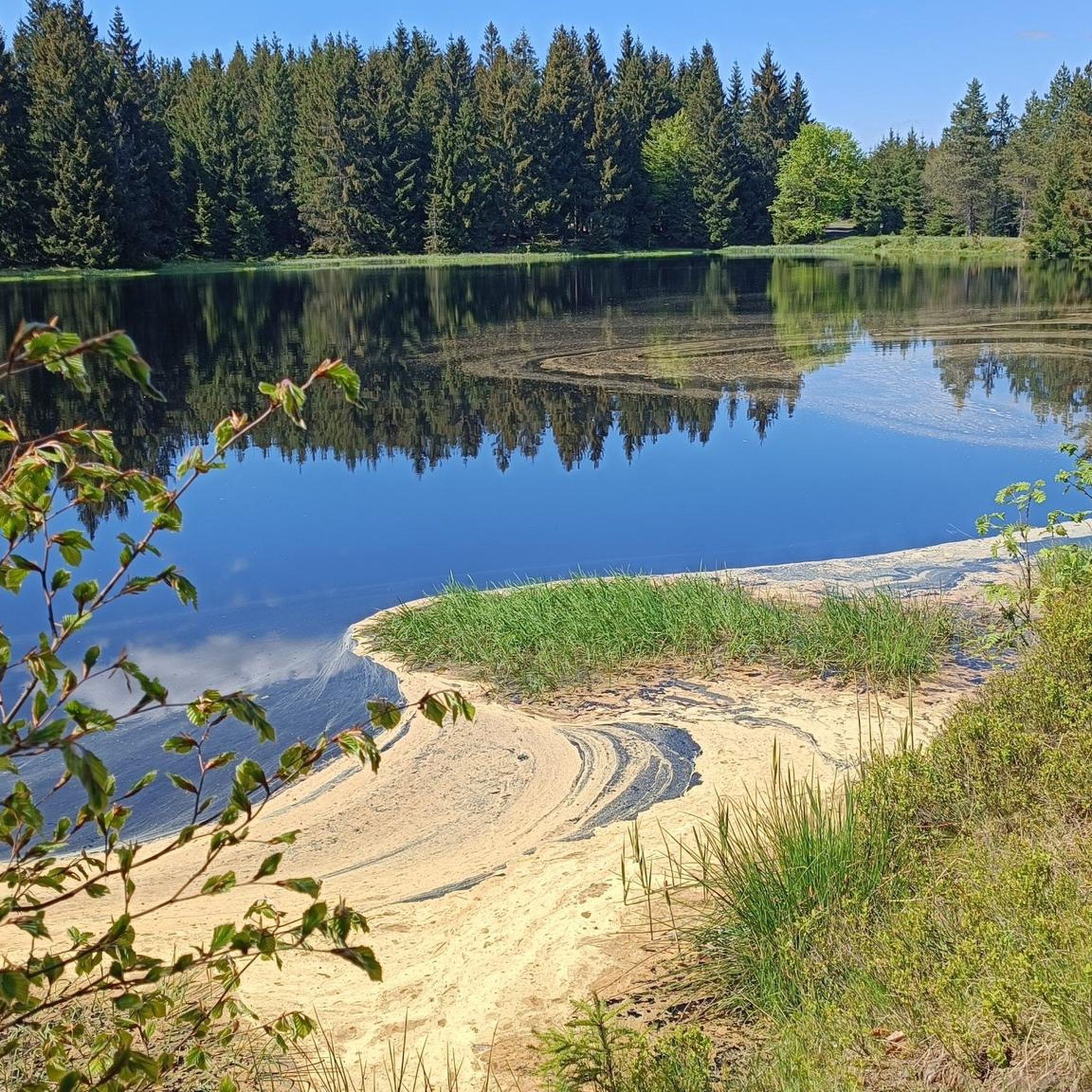
The region is rich in natural beauty. While the peat bogs of PR Prameniště Chomutovky are largely inaccessible for road cycling, you'll encounter acidophilous spruce forests, mountain meadows, and remnants of natural beech forests on the slopes of Čihadlo Hill. The Chomutovka River originates in the reserve, and you might cycle along parts of its course or near other water bodies like the Schwarzer Teich or the Pond with rest area in PR Prameniště Chomutovky.
Are there any interesting landmarks or historical sites along the road cycling routes?
Yes, the area offers several points of interest. You might pass by the Reitzenhain–Böhmisch Reizenhain Border Crossing, the Pohraniční (Böhmisch Reizenhain) Memorial Site, or the Ruins of Böhmisch Kühnhaide. The Historic Buildings of Reitzenhain also offer a glimpse into the region's past.
What do other road cyclists enjoy most about road cycling in this area?
The area is highly rated by the komoot community, with an average score of 4.7 stars from over 200 reviews. Reviewers often praise the varied mountainous terrain, the scenic views of forests and meadows, and the well-maintained asphalt roads connecting the villages. Many appreciate the diverse options for different ability levels.
Is it possible to find loop routes for road cycling around PR Prameniště Chomutovky?
Yes, many of the road cycling routes in the region are designed as loops, allowing you to start and end at the same point. For example, the popular S216 Natzschungtal Road – Saigerhütte Olbernhau loop from Kühnhaide is a moderate 20.5-mile (33.0 km) loop, and the Bergschänke Rübenau – S216 Natzschungtal Road loop from Rübenau is another favorite.
Are there any specific viewpoints or scenic spots recommended for road cyclists?
While specific named viewpoints aren't always marked for road cyclists, the routes often offer panoramic views of the mountainous landscape of the Ore Mountains and the surrounding countryside. The View of the Czech Countryside – View of the Bohemian Basin loop from Výsluní explicitly highlights scenic vistas, suggesting excellent opportunities for breathtaking views.
What is the best time of year for road cycling around PR Prameniště Chomutovky?
The best time for road cycling in the Ore Mountains region is typically from late spring through early autumn (May to October). During these months, the weather is generally milder, and the roads are clear of snow and ice. Autumn offers particularly beautiful scenery with vibrant fall colors in the forests.
Is there parking available for road cyclists near the routes?
Yes, parking is generally available in the villages and towns that serve as starting points for many of the routes. For example, routes often start from places like Kühnhaide, Rübenau, Výsluní, or Pobershau, where you can usually find designated parking areas suitable for accessing the cycling network.
Can I reach the road cycling areas near PR Prameniště Chomutovky by public transport?
Public transport options exist to reach some of the larger towns in the Chomutov region, which can serve as starting points for road cycling. However, direct public transport to the immediate vicinity of the PR Prameniště Chomutovky nature reserve itself might be limited. It's advisable to check local bus or train schedules for connections to towns like Hora Svatého Šebestiána or Chomutov, and plan your route from there.
Are there any cafes or restaurants along the road cycling routes for a break?
Yes, as the routes connect various villages and towns in the region, you will find opportunities for refreshments. Many villages, especially those serving as starting or ending points like Rübenau or Pobershau, have local cafes, pubs, or restaurants where you can take a break and refuel during your ride.
Most popular routes around PR Prameniště Chomutovky
Most popular attractions around PR Prameniště Chomutovky

Get inspired with the komoot mobile app


Explore more
Browse the best Road cycling routes in other regions.
