The best walks and hikes around Campo Real
4.5
(172)
1,141
hikers
136
hikes
Hiking trails around Campo Real traverse a landscape characterized by river valleys, open countryside, and natural reserves. The region features wetlands like Laguna del Campillo, which supports diverse ecosystems, and historic routes such as the Tajuña River Greenway. These areas offer varied terrain suitable for walking, from tranquil lakeside paths to more expansive rural settings.
Best hiking trails around Campo Real
- The most popular hiking route is Fuente del Valle loop from Arganda del Rey, a 6.0 miles (9.7…
Last updated: October 14, 2026
4.3
(3)
27
hikers
7.44km
01:57
60m
60m
Easy hike. Great for any fitness level. Easily-accessible paths. Suitable for all skill levels.
9
hikers
9.67km
02:42
180m
180m
Moderate hike. Good fitness required. Easily-accessible paths. Suitable for all skill levels.

5.0
(1)
9
hikers
Moderate hike. Good fitness required. Easily-accessible paths. Suitable for all skill levels.
4.5
(2)
8
hikers
13.2km
03:37
210m
210m
Moderate hike. Good fitness required. Easily-accessible paths. Suitable for all skill levels.
5.0
(1)
6
hikers
12.1km
03:12
110m
110m
Moderate hike. Good fitness required. Easily-accessible paths. Suitable for all skill levels.
Get access to more routes and recommendations from other explorers.
Already have an account?
Our route recommendations are based on thousands of hikes, rides, and runs completed by other people on komoot.
Start today with a free account
Your next adventure awaits.

Tips from the Community

Very nice tour, I liked it, although there was a bit of a bad smell from the company before crossing the bridge. Also, I found areas of the path damaged and/or blocked by logs and pebbles. It was hard for me to finish the return route. But overall, I was satisfied with the route.
0
0

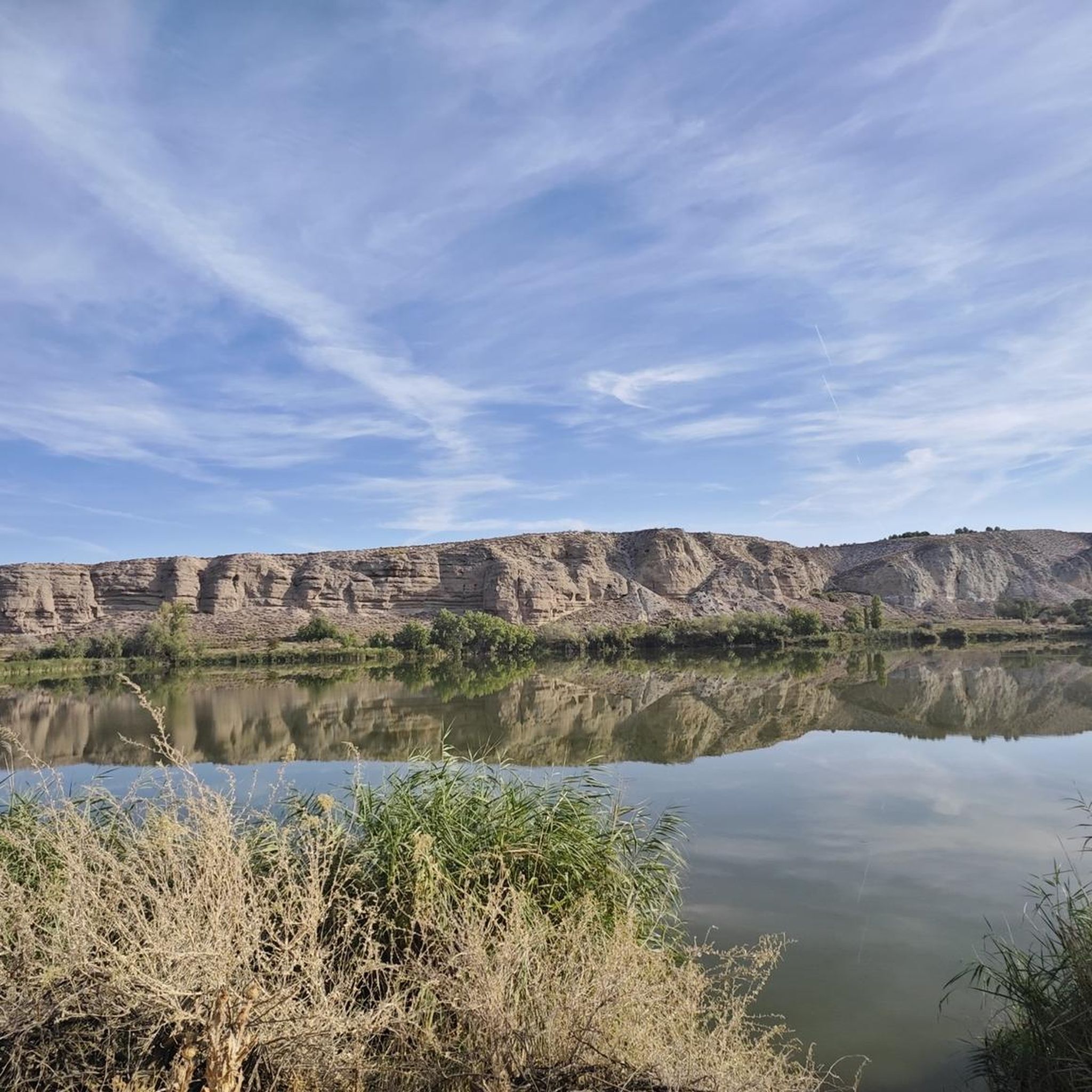
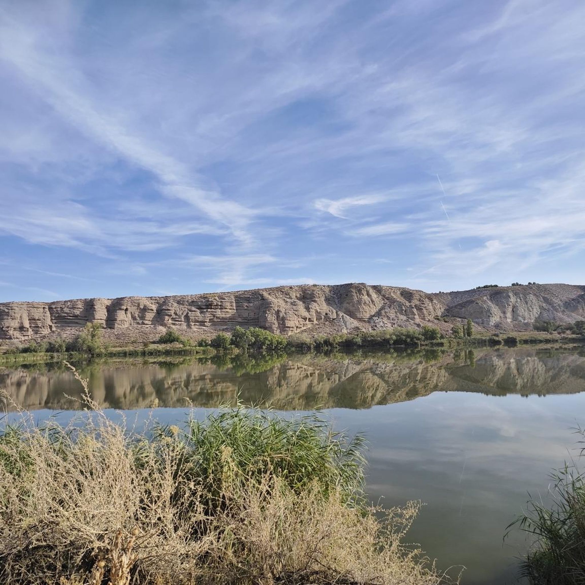
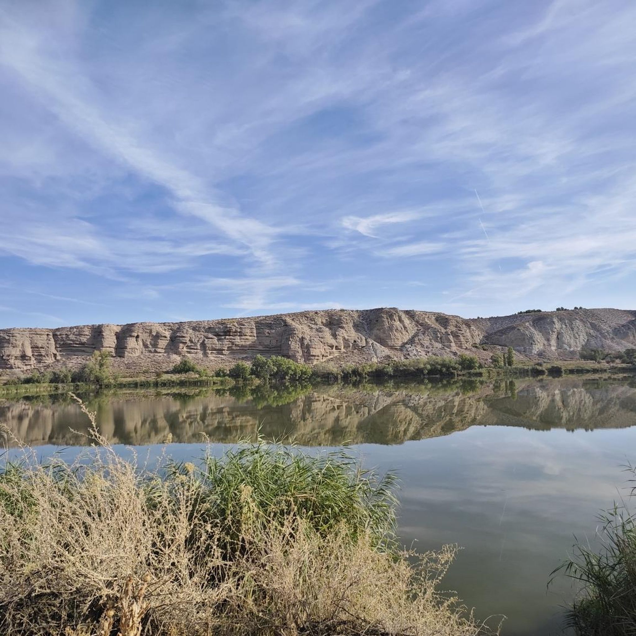
The Campillo Lagoon is located in Rivas Vaciamadrid, within the Southeast Regional Park, about 20 km from Madrid. It is a protected natural area, ideal for peaceful walks and outdoor activities. Origin: Artificial, formed in the 1960s and 70s after the extraction of aggregates in the Jarama River basin. Water from the aquifer filled the excavations and over time became a wetland with great biodiversity.
4
0

Longing for times past and the living history of the steam railway.
0
0
For the beautiful surroundings and landscape just a stone's throw from Madrid.
1
0

A beautiful lagoon to visit and spot seagulls, ducks and various birds. Highly recommended 👌
0
0

Limestone quarries were a very common industrial resource in the towns of Las Vegas and Alcarria in Madrid from the mid-18th century. The good quality pieces were used for the construction of walls, lintels and ashlar facades, and the gravel was used for masonry fillings, road paving and lime production.
0
0
The 40-Day Train is also known as the Negrín Way because it was built in 1938, when Juan Negrín was the head of the Republican government. The original railway infrastructure has been completely dismantled, except for the tunnels that are still open before reaching the Tagus River.
0
0
It is a construction system used on railways in the early 20th century, cutting the hills of the terrain into two parts, avoiding the costly drilling of tunnels and leaving gentle slopes for the passage of trains.
0
0
Frequently Asked Questions
How many hiking trails are available around Campo Real?
There are over 120 hiking routes available around Campo Real, offering a wide range of options for different skill levels and preferences.
What kind of terrain can I expect on hikes in Campo Real?
Hikes around Campo Real feature diverse terrain, including tranquil lakeside paths, historic greenways, and expansive rural settings. You'll find landscapes characterized by river valleys, open countryside, and natural reserves like the Laguna del Campillo.
What do other hikers enjoy most about the trails in Campo Real?
The hiking routes in Campo Real are highly rated by the komoot community, with an average score of 4.5 stars from over 140 reviews. Hikers often praise the varied terrain, the natural beauty of areas like Laguna del Campillo, and the historical elements found along routes such as the Tajuña River Greenway.
Are there any easy hiking routes suitable for beginners in Campo Real?
Yes, Campo Real offers a good selection of easy hiking routes. For example, the Hiking loop from Pozuelo del Rey is an easy 6.3 km trail, perfect for those looking for a less strenuous walk.
Can I find circular hiking routes in Campo Real?
Yes, many routes in Campo Real are circular. Popular options include the Fuente del Valle loop from Arganda del Rey, which offers scenic views, and the Monument to the Recortadores – Fuente del Valle loop from Arganda del Rey, leading through varied countryside.
What natural features or landmarks can I see while hiking in Campo Real?
While hiking, you can explore significant natural features and historical landmarks. Don't miss the Campillo Lagoon, a valuable natural reserve, or the historic La Poveda Railway Bridge. You might also encounter the Presa del Rey, offering beautiful views, and the Cornicabra Station and Quarries, rich in railway history.
Are there family-friendly hiking options around Campo Real?
Yes, the region offers several routes suitable for families. The Tajuña River Greenway, for instance, provides flat and accessible paths ideal for walks with children. The tranquil lakeside paths around Laguna del Campillo are also great for a family outing.
Are dogs allowed on hiking trails in Campo Real?
Many trails in the Campo Real area are dog-friendly, especially those in open countryside and along greenways like the Tajuña River Greenway. It's always recommended to keep dogs on a leash and clean up after them to respect local wildlife and other hikers.
Are there any routes that incorporate the Tajuña River Greenway?
Yes, the La Poveda Railway Bridge – Campillo Lagoon loop from Arganda del Rey is a moderate route that features sections of the Tajuña River Greenway, allowing you to experience this historic path.
What is the best time of year to hike in Campo Real?
The best time to hike in Campo Real is typically during spring and autumn when the temperatures are mild and the natural scenery is vibrant. Summers can be hot, making early morning or late afternoon hikes preferable, while winters are generally mild but can be damp.
Are there any viewpoints or scenic overlooks on the trails?
Yes, several routes offer scenic views. The Presa del Rey is known for its beautiful panoramas. Additionally, the View of the confluence of the Jarama and Manzanares rivers from the Cortados de Rivas provides a stunning perspective of the river valleys.
Are there any historical sites to explore near the hiking trails?
Absolutely. Beyond the natural beauty, you can visit historical sites such as the Goyeneche Palace of Nuevo Baztán, a significant architectural complex, or the old Cornicabra Station, which offers a glimpse into the region's railway heritage.
Most popular routes around Campo Real
Most popular attractions around Campo Real

Get inspired with the komoot mobile app


Explore more
Browse the best Hikes in other regions.
